Wanaka

New Zealand · New Zealand Avalanche Advisory · Teil von New Zealand

Auf der Karte ansehen

Lawinengefahr

High Alpine · above 1,800 m
2 · Mässig
Alpine · 1,200 m–1,800 m
3 · Erheblich
Sub Alpine · below 1,200 m
1 · Gering

Lagebericht ausgegeben 21 hours ago · gültig bis Sep 21

Herausgegeben von New Zealand Avalanche Advisory

Aktueller Lagebericht

Kernpunkte

Rain on the snow pack below about 1800m before the storm cooled.

The freezing level is forecast to climb to 3000m on Sunday.

Wet slide activity (Loose Wet, Wet Slab and Glide) is probable particularly, between 1200m to 1800m.

Lawinenprobleme

  • Loose Wet

    • Alle Höhenlagen
    Wahrscheinlichkeit
    Likely
    Größe
    1.5

    Rain on the pack before the storm cooled. The freezing level is forecast to climb to 3000m. Wet slide (Loose Wet and Wet Slab) activity is probable particularly, below about 1800m . These releases could occur on any aspect. Be on the lookout for signs of rapid warming (point releases, roller balling and rafting). Be especially wary of steep and complex terrain if you see evidence of growing instability.

  • Wind Slabs

    • Alle Höhenlagen
    Wahrscheinlichkeit
    Possible
    Größe
    1.5

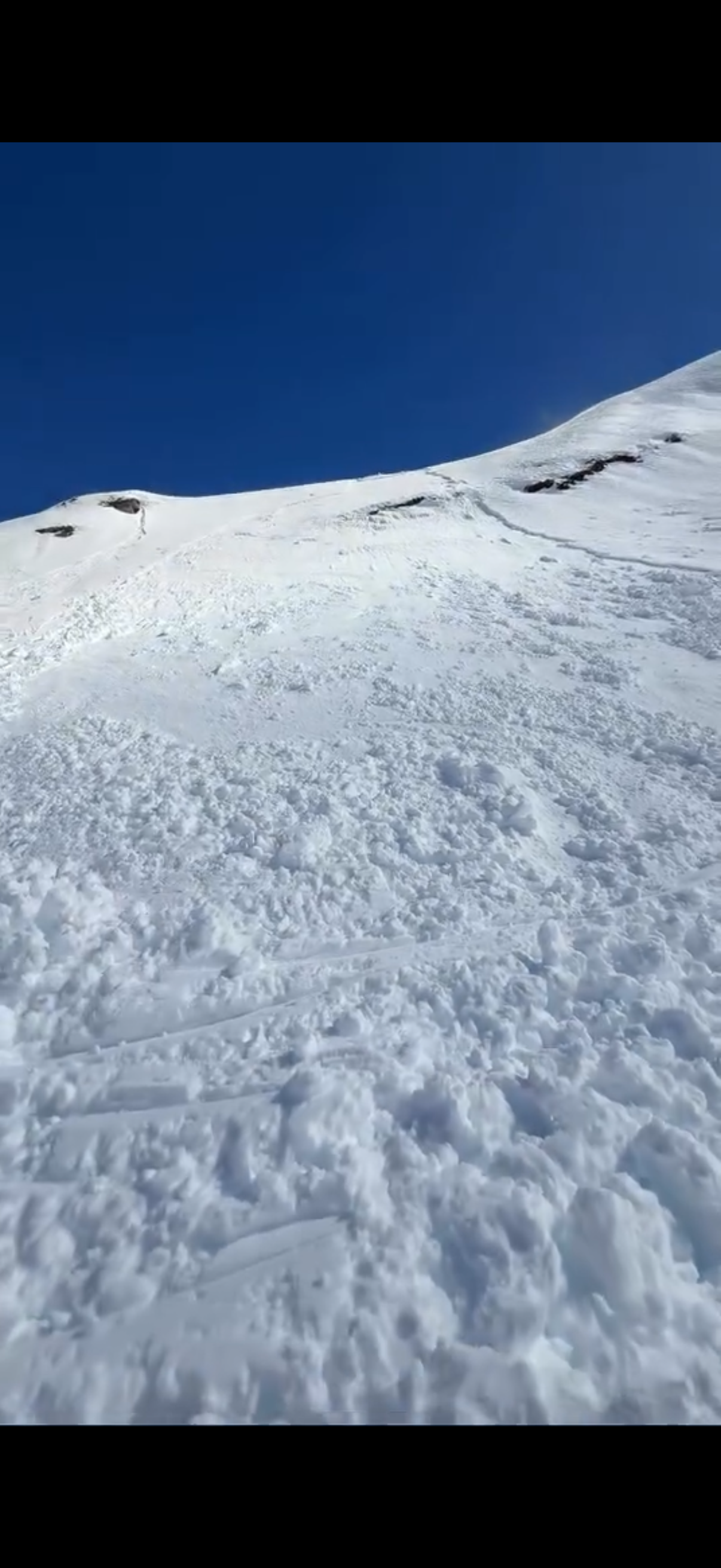
    Rain/snow and North West/Westerly gales over the past 24 hours. Pockets of Wind Slab may be encountered particularly, on East facing slopes. Identify deposits of stiff wind transported snow and avoid them.

Recent Avalanche Activity

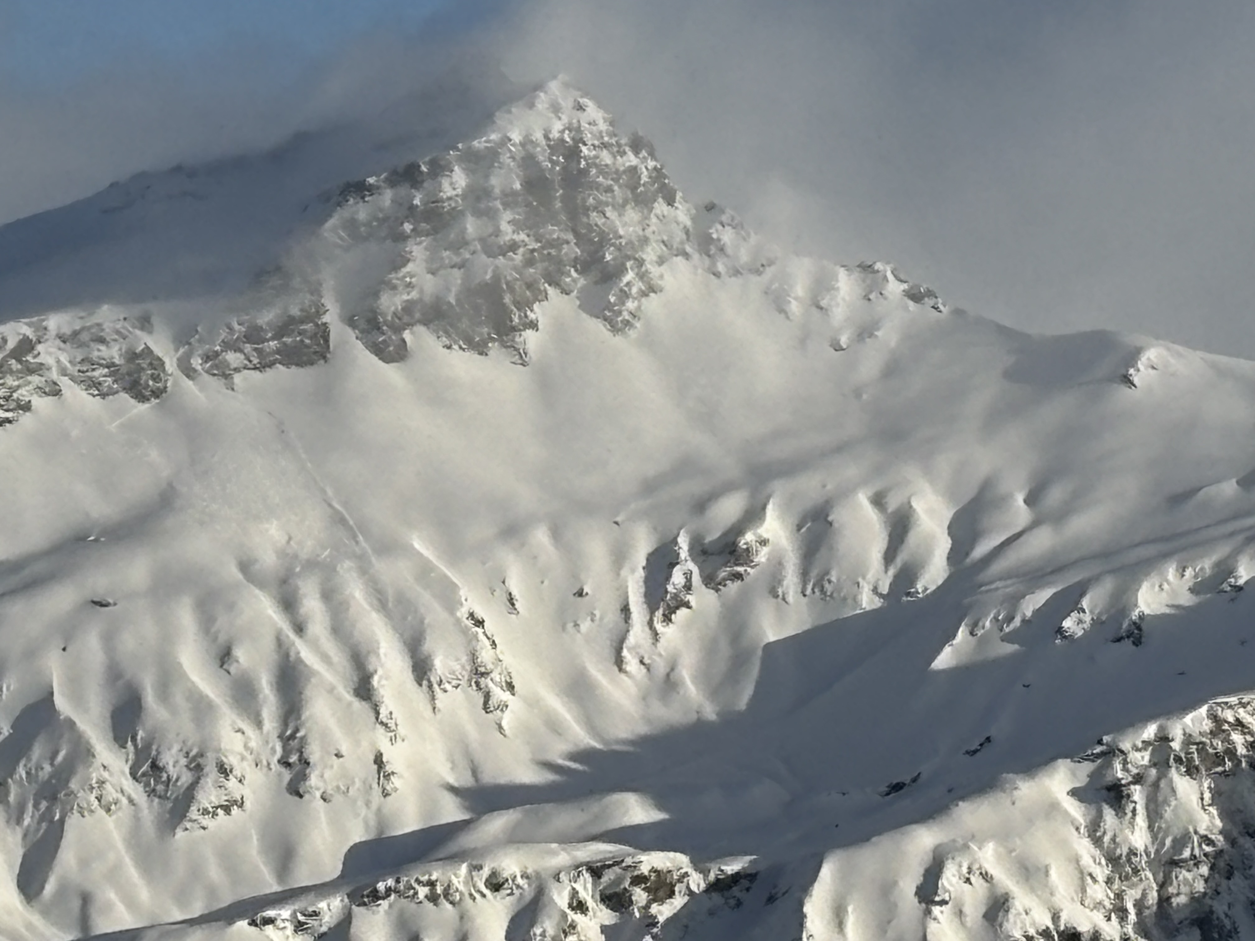
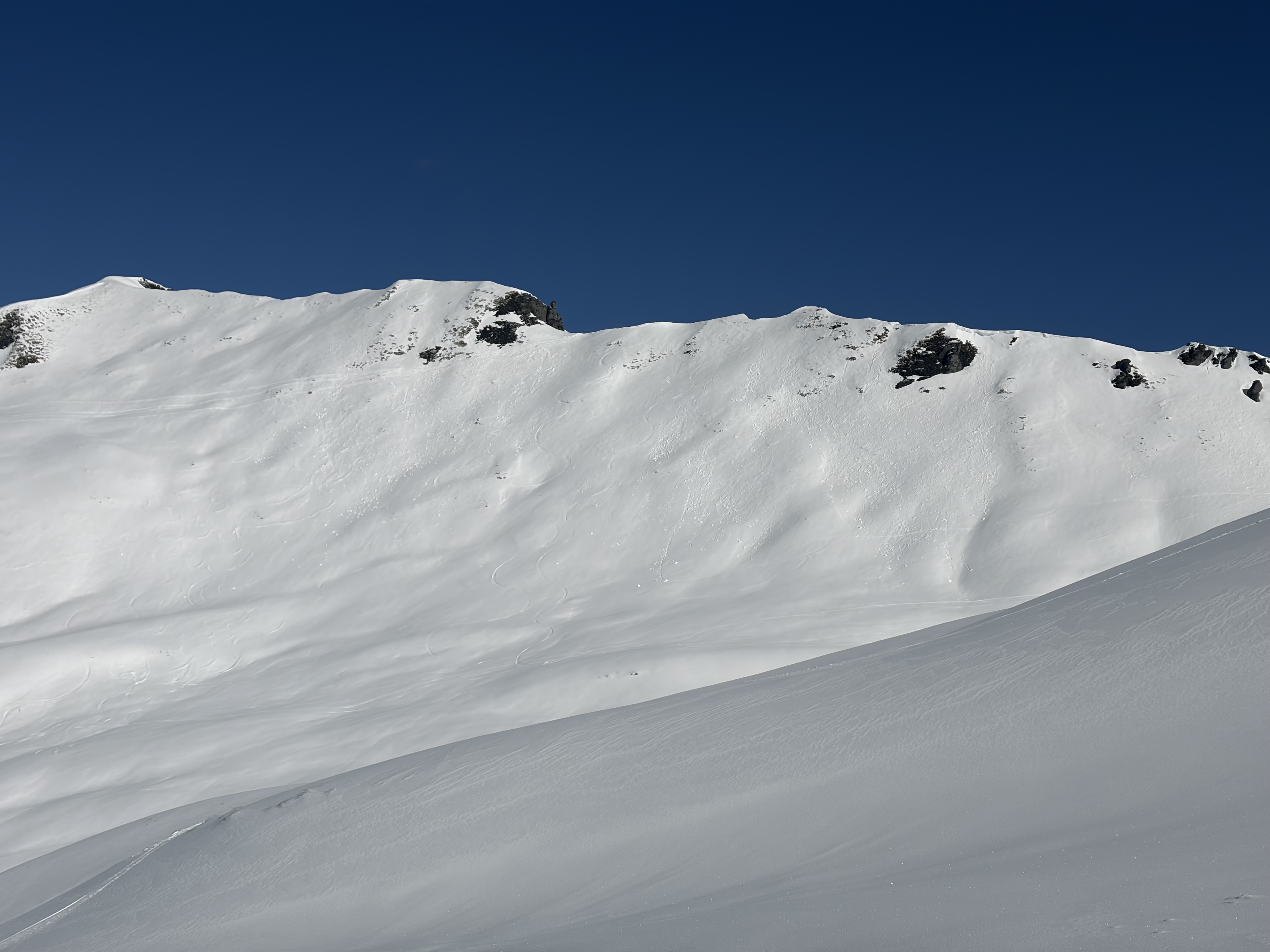
Plenty of wet slide activity (Loose Wet, Wet Slab and Glide) over the past few days. A skier accidentally triggered a size 1.5 Loose Wet slide on Friday (18/9) in the backcountry near Treble Cone. A cycle of natural wet slides (size 1 and 1.5) occurred on Thursday and Friday as the day warmed up. Also, on Thursday (17/9) a Glide Slab released on a North East facing slope near Treble Cone. On Thursday 10/9 a boarder triggered a size 1.5 Wind Slab in the back country south of Treble Cone (Aspect East, Elevation 1720m).

If you see evidence of avalanches in the back country please enter a Public Observation.

Current Snowpack Conditions

New snow will have landed on melt/freeze crusts especially, on North facing terrain. The snow pack is likely to holding a significant amount of moisture below about 1800m. Prior to the most recent storm a typical Spring melt/freeze cycle was occurring. The underlying snow pack above about 1800m is mostly well consolidated.

Mountain Weather

Sunday - showers falling as snow down to 500m - clearing in the morning. South West gales turning strong North West. Freezing level - 800m climbing to 3000m.

Sliding Danger

Spring conditions (melt/freeze) generally result in an elevated sliding hazard. Be prepared to encounter slick crusts or icy areas in places. Recommend carrying ski crampons and/or an ice axe and crampons.

Forecast Confidence

Moderate

  • We are confident the likelihood of avalanches will increase with the forecast weather.
  • We are uncertain due to rapidly changing freezing levels.
  • We are uncertain about how the timing or intensity of solar radiation will affect the snowpack.

New Zealand Avalanche Advisory (NZ Mountain Safety Council)

Verlauf der Lageberichte

HochWGUnter