Aspiring

New Zealand · New Zealand Avalanche Advisory · Teil von New Zealand

Auf der Karte ansehen

Lawinengefahr

High Alpine · above 2,000 m
2 · Mässig
Alpine · 1,500 m–2,000 m
3 · Erheblich
Sub Alpine · below 1,500 m
2 · Mässig

Lagebericht ausgegeben 21 hours ago · gültig bis Sep 21

Herausgegeben von New Zealand Avalanche Advisory

Aktueller Lagebericht

Kernpunkte

There will be an increased risk of wet snow avalanches today.

Plan your trip carefully to avoid terrain prone to loose wet and glide avalanches during the day.

Up high above 2000m some areas of wind slab may have formed during Saturday's storm.

Lawinenprobleme

  • Loose Wet

    • Alle Höhenlagen
    Wahrscheinlichkeit
    Likely
    Größe
    2

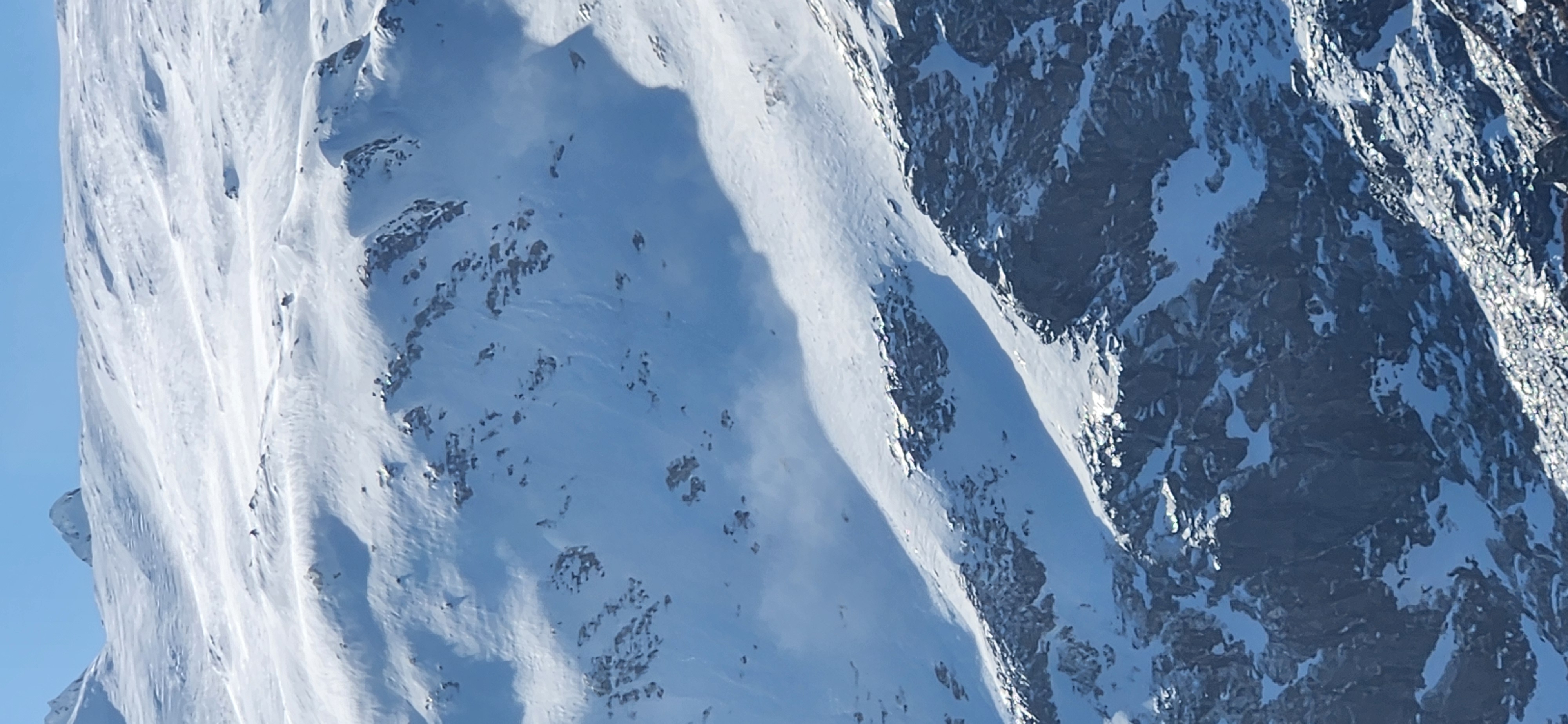
    With an overnight freeze unlikely and temperatures rising today, loose wet and glide avalanches may become likely by mid- to late morning. Avoid terrain where the snow appears moist and unsupportive for walking or skiing on. Even a small wet snow avalanche can take you off your feet and run long distances.

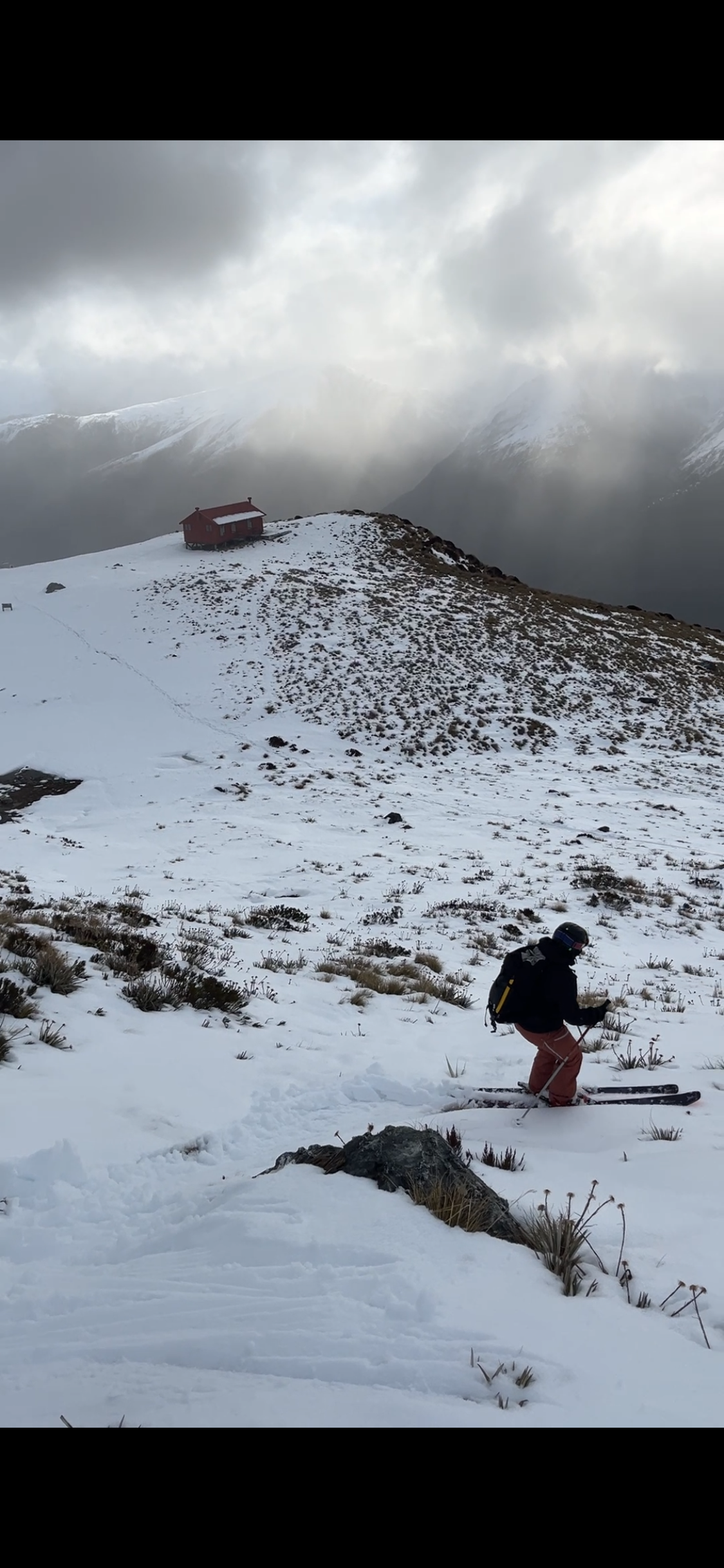
    The traverse from Brewster Hut to the Brewster Glacier is an example of an area that should be avoided at such times.

  • Wind Slabs

    • Alle Höhenlagen
    Wahrscheinlichkeit
    Possible
    Größe
    1.5

    Above around 2000m 25cm of new snow may have fallen, and isolated areas of wind slab may have formed with the gale westerly winds. Some ongoing transport and slab formation may continue today with forecast gale southwesterly winds.

Recent Avalanche Activity

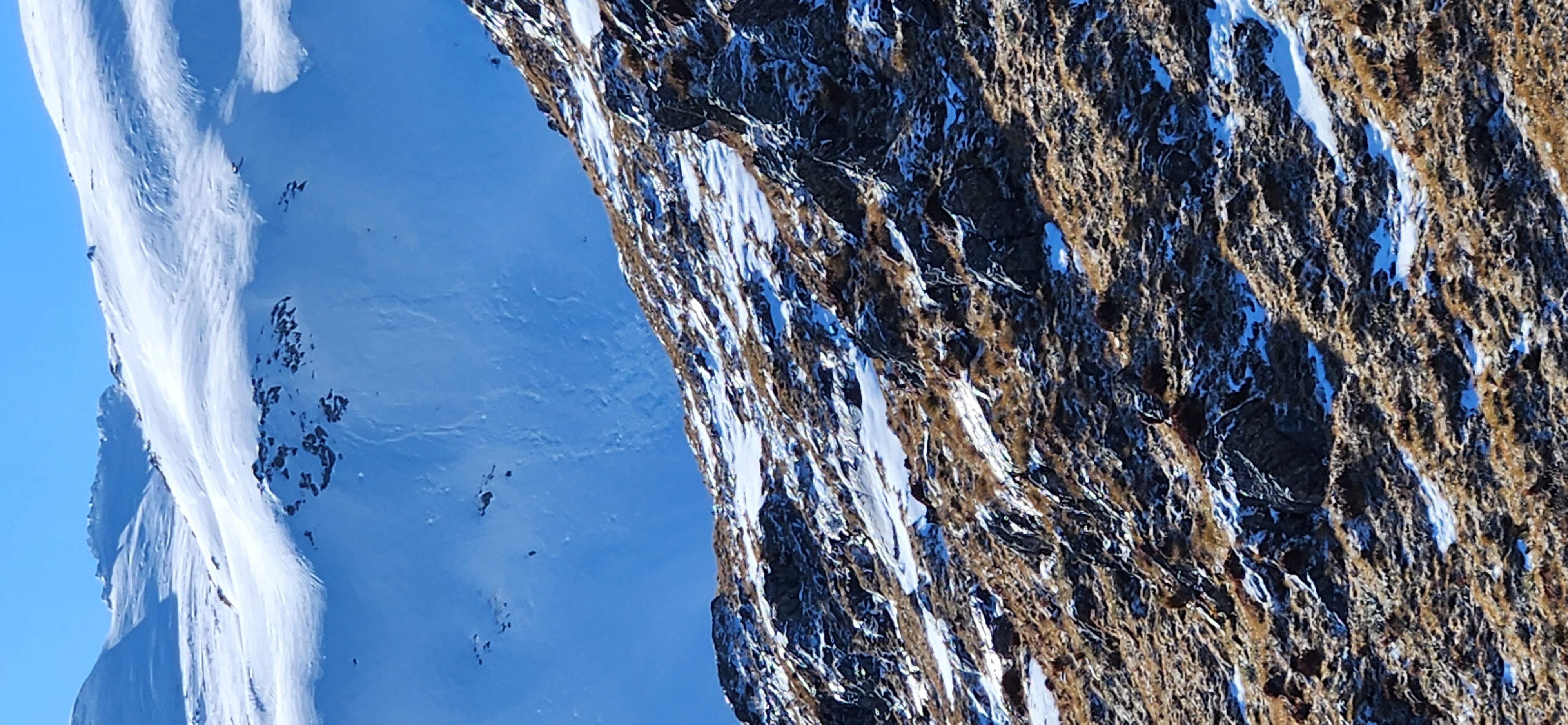
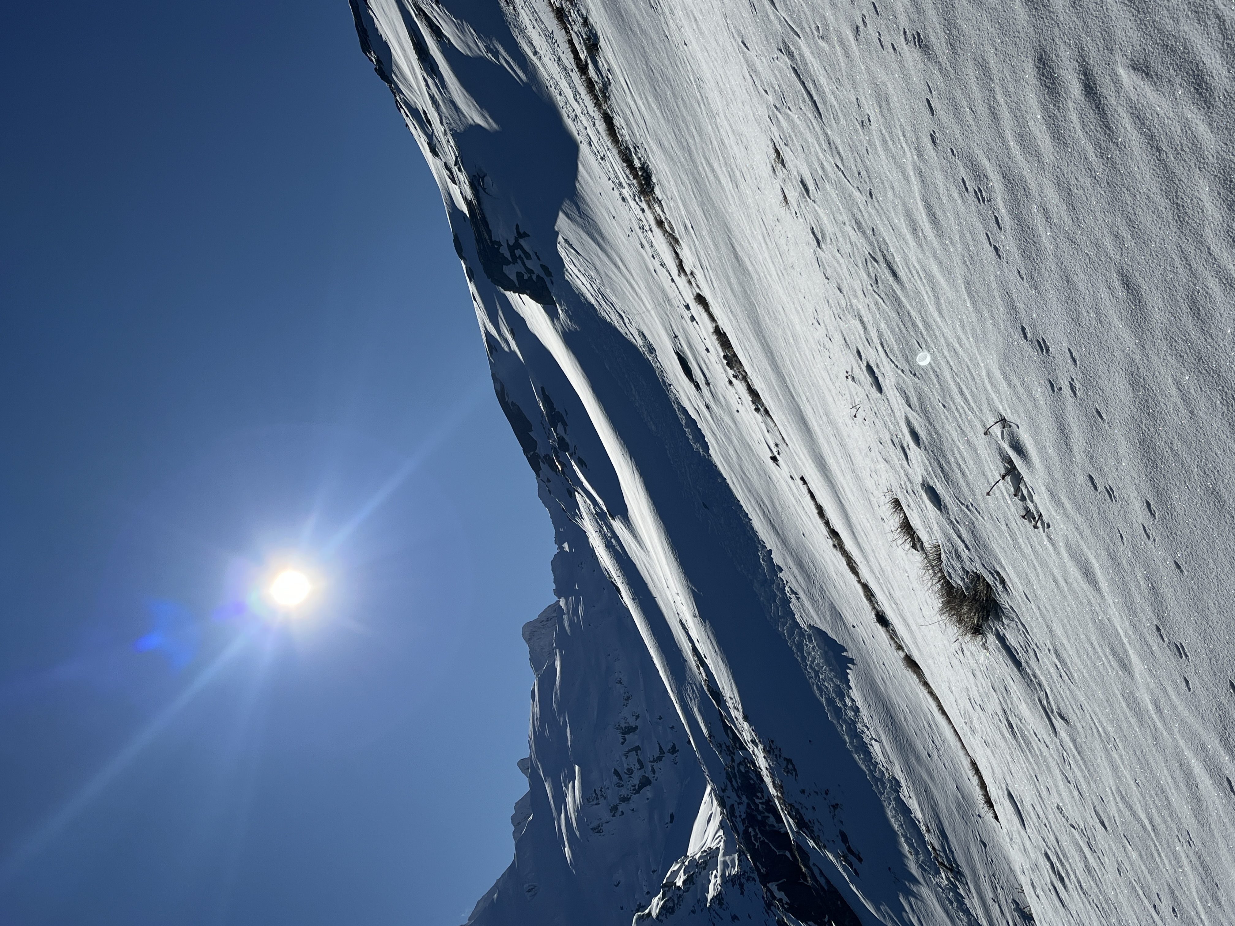
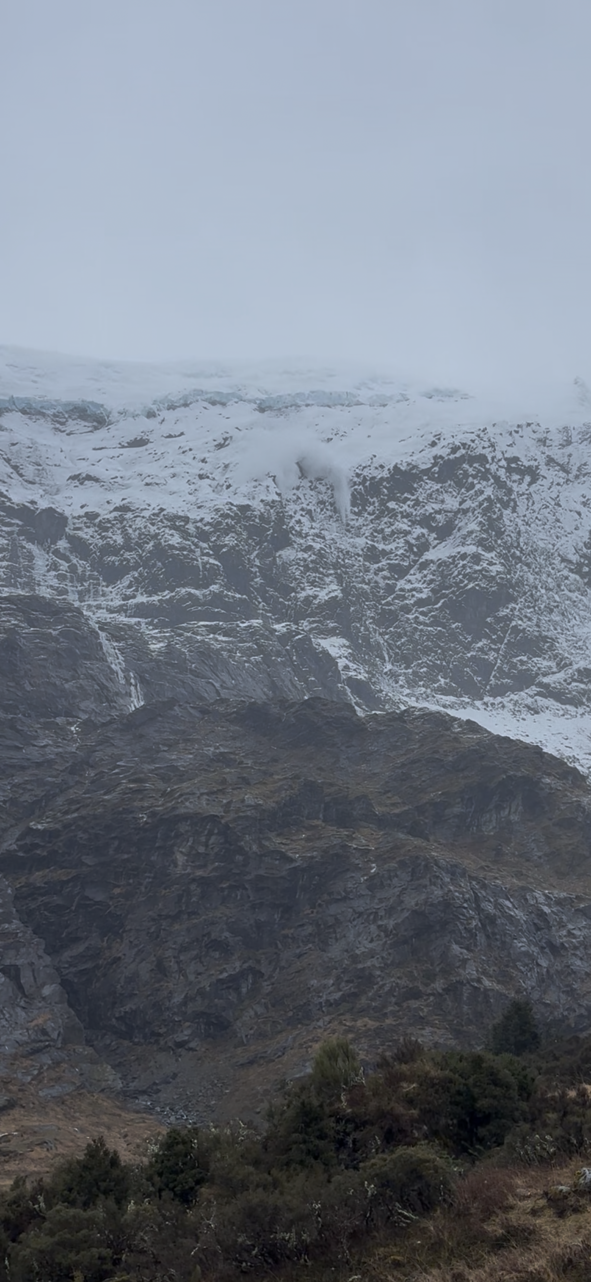
A widespread natural cycle of loose dry and loose wet avalanches up to size 2 took place on all aspects after last Wednesday's storm. Some of these were not very big in size but ran very long distances.

If you see any recent avalanche occurrences or have any relevant snowpack information or photos, you can share them via the Public Observations link on the NZAA home page.

Current Snowpack Conditions

Last Wednesday, around 50cm of new snow fell to very low elevations. On Friday, strong westerly winds redistributed much of the recent snow, stripping west-facing slopes and reloading the east-facing aspects. Around 25cm of new snow may have fallen above 2000m on Saturday.

Before this, the snowpack appeared well settled, with no obvious or reported weaknesses. Warm daytime temperatures have been softening and turning northerly aspects below around 1900m isothermic during the day, and many glide cracks are starting to open up on northeast to northwest aspects.

Very Large cornices have also potentially formed above 1800m.

Mountain Weather

Mt Aspiring National Park ForecastForecast

Showers, with snow to 600 metres, clearing to fine in the morning.

Wind at 1000 metres Southwesterly 60 km/h, easing to westerly 30 km/h in the afternoon.

Wind at 2000 metres Southwesterly severe gale 90 km/h, easing to 55 km/h early afternoon, then rising to northwesterly gale 65 km/h at night.

Wind at 3000 metres Southwesterly severe gale 105 km/h, easing to gale 65 km/h in the afternoon.

Freezing level 900 metres, lifting to 1600 metres in the morning, then to 3100 metres in the evening.

Issued: 10:46pm Sat 19 Sep

Sliding Danger

Firm conditions may be encountered in the morning. An ice axe and crampons could be necessary depending on your objective.

Forecast Confidence

Moderate

  • We are uncertain due to rapidly changing freezing levels.

New Zealand Avalanche Advisory (NZ Mountain Safety Council)

Verlauf der Lageberichte

HochWGUnter