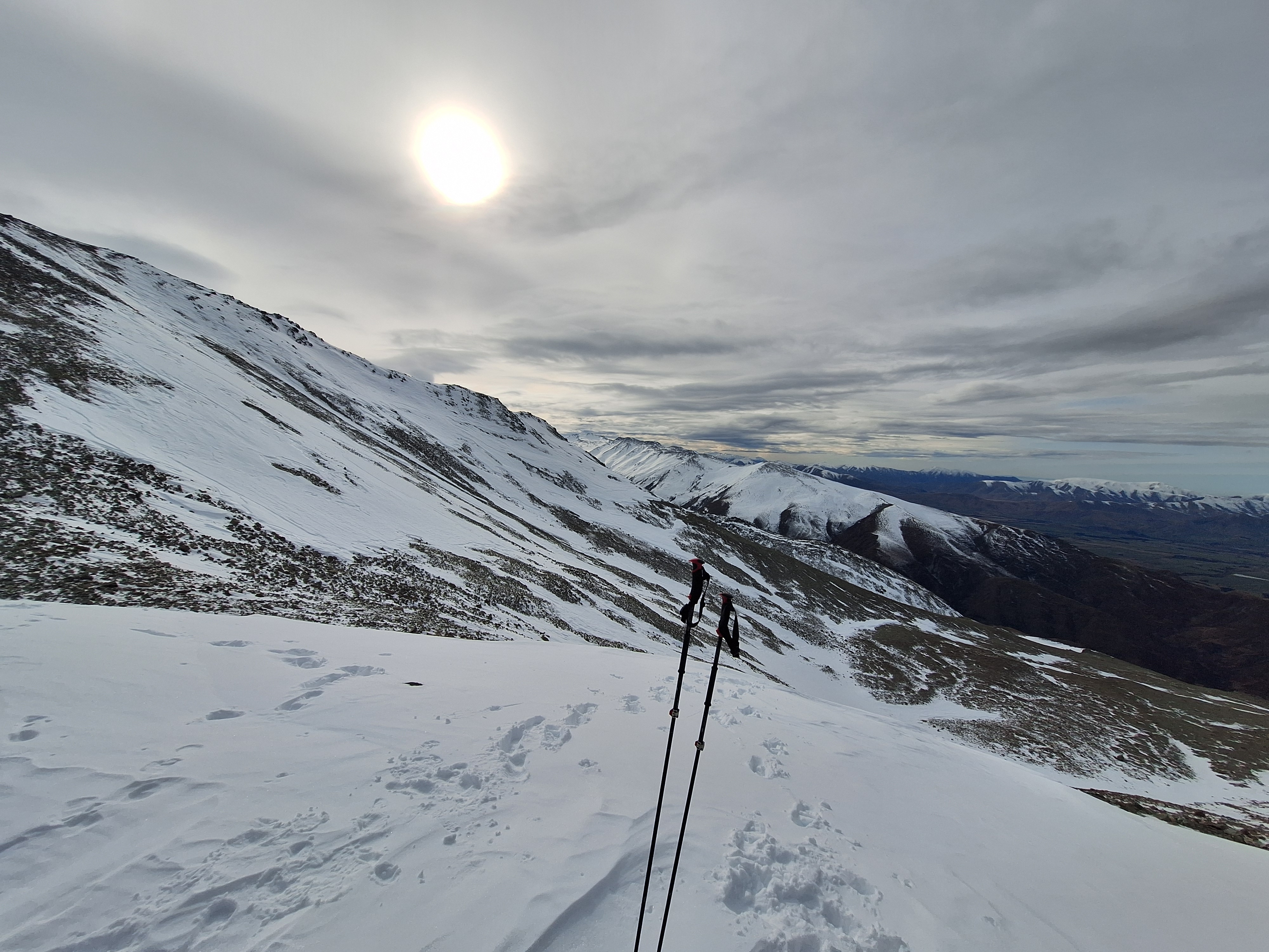
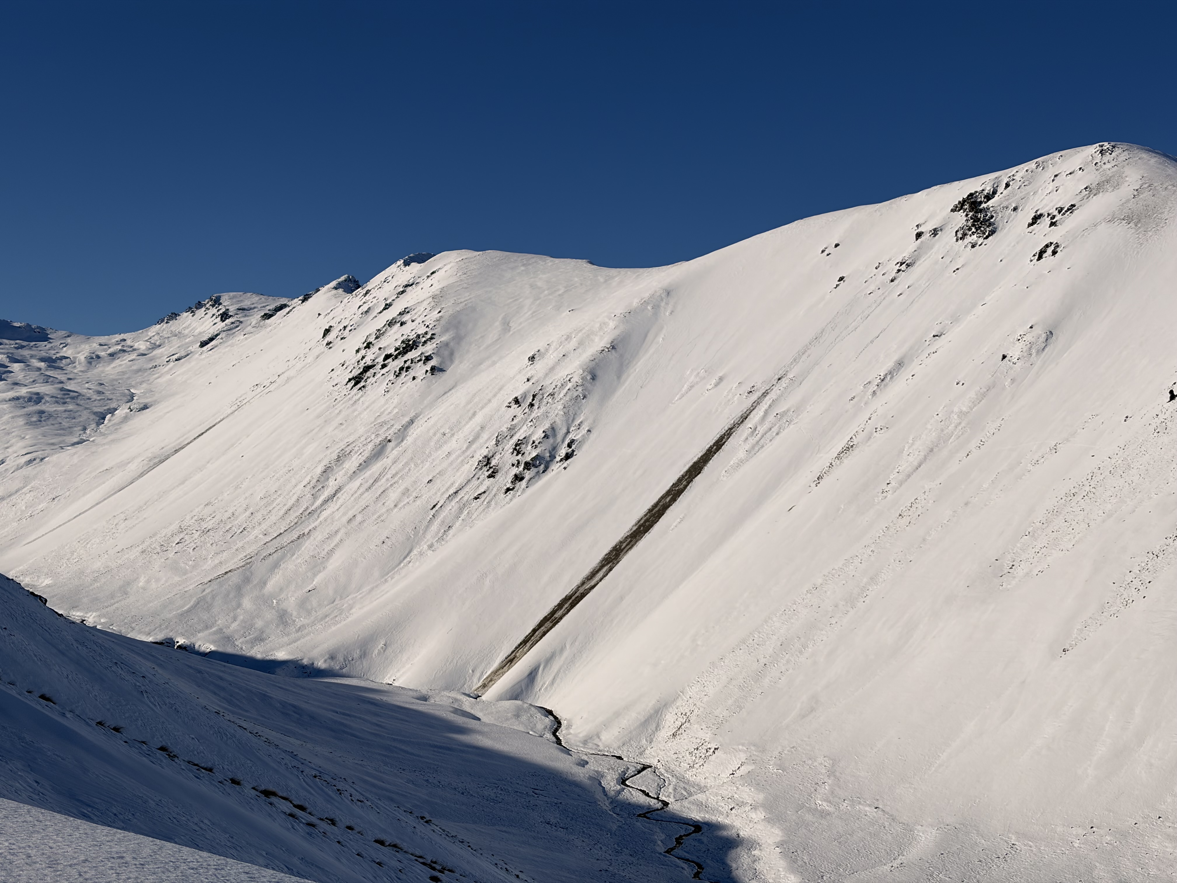
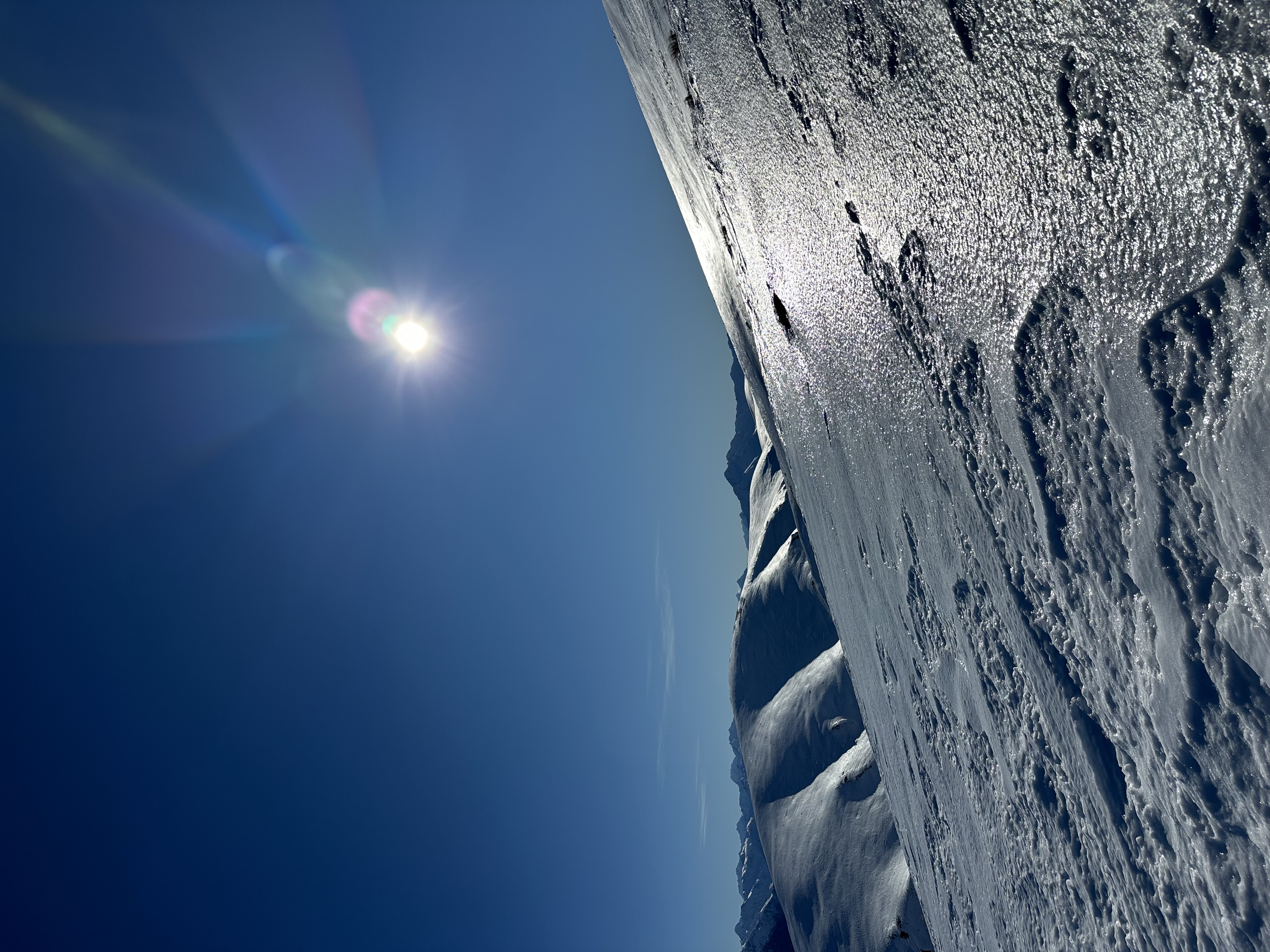
Two Thumbs

New Zealand · New Zealand Avalanche Advisory · part of New Zealand

View on map

Avalanche danger

High Alpine · above 1,800 m
2 · Moderate
Alpine · 1,200 m–1,800 m
2 · Moderate
Sub Alpine · below 1,200 m
No rating

Forecast issued 7 hours ago · valid to Sep 18

Published by New Zealand Avalanche Advisory

Current forecast

Highlights

10cm of new snow has fallen on a slick base.

With sun and warm temperatures expected on Friday, a cycle of loose wet avalanches is very likely.

Plan your trip to avoid consequential avalanche terrain when it warms.

Avalanche problems

  • Loose Wet

    • All elevations
    Likelihood
    Likely
    Size
    1

    New snow on a firm base with rising temperatures is a recipe for loose wet avalanches.Expect a widespread loose wet avalanche cycle on sunny slopes in the heat of the day. With only 10cm of new snow, these avalanches should be small. However, be aware that even a small avalanche can be consequential if it carries you into nasty terrain.Be mindful that there could be areas that received more snow. If you find yourself on a sunny slope with 20cm or more, the loose wet avalanches could entrain enough snow to bury a person.

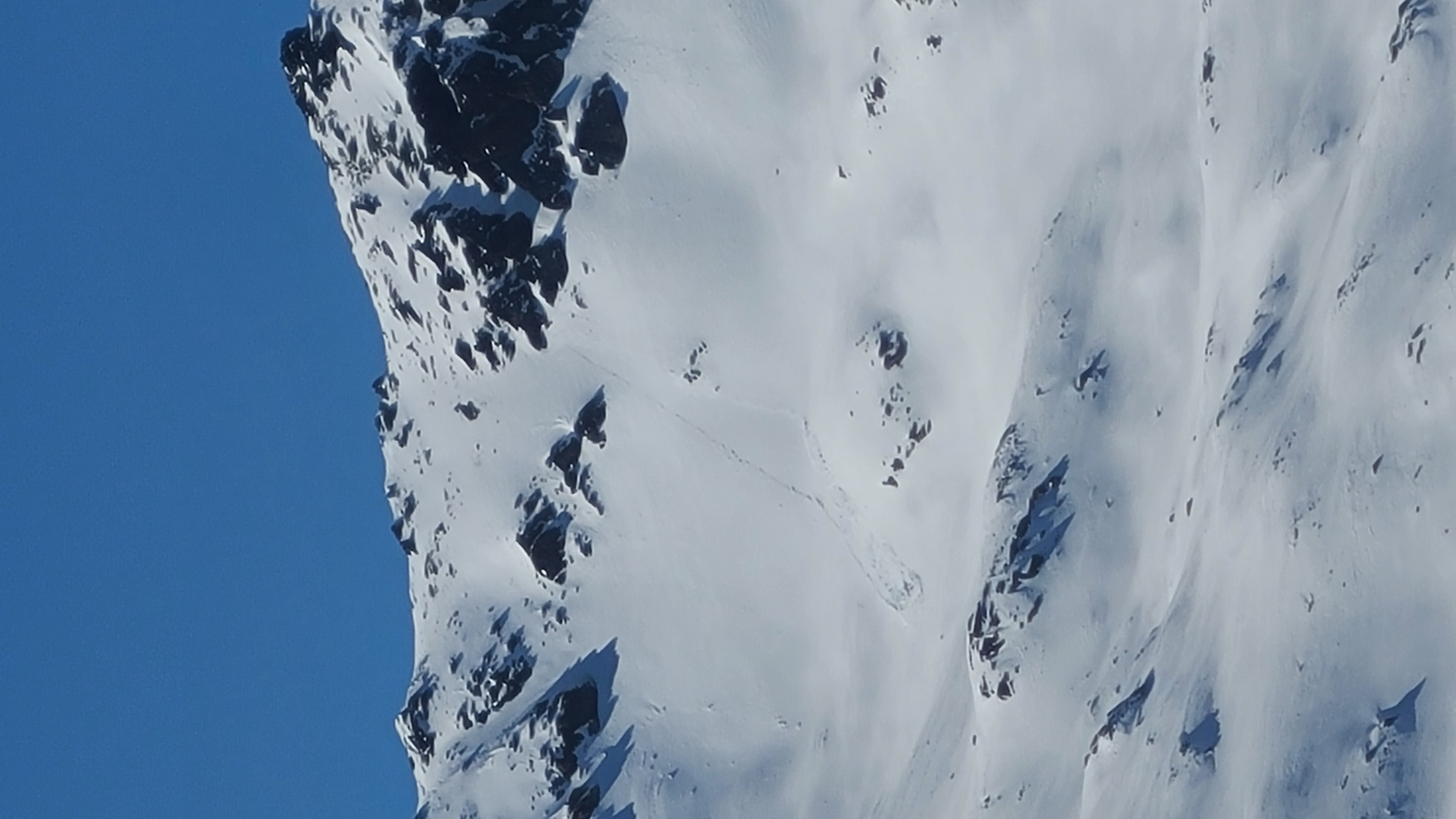
  • Wind Slabs

    • All elevations
    Likelihood
    Likely
    Size
    1

    Westerly winds will distribute the new snow into windslabs on terrain facing NE, E and S.Take care to identify where wind-loading has occurred and treat these areas with caution. Hazard will be greater at higher elevations.

Recent Avalanche Activity

No recent avalanches have been reported in the region.

If you see any activity on the Two Thumb Range, please make a public observation. It helps us to produce accurate forecasts.

Current Snowpack Conditions

About 10cm of new snow is fell with little wind over Wednesday night. On sunny aspects and at lower elevation, we expect this to have undergone a melt during Thursday producing a suncrust on Friday.

The snowpack prior to this snowfall is described below.

Sunny aspects:

Mostly bare ground at lower elevations. Some snow cover above about 1700m has gone through multiple melt freeze cycles. At lower elevations, the snowpack was moist prior to Wednesday's snowfall.

Shady aspects:

The eastern half has good snow cover, reaching 100–120 cm in sheltered spots. Around 40cm on south to southwest slopes. Patches of wind drifted cold snow exist around ridges and terrain features.

Multiple crust layers are in the shady snowpack interspersed with weak crystals. This structure is not a problem at present, but could cause elevated avalanche hazard with future loading.

Mountain Weather

Mainly fine. Areas of morning frost or fog, then high cloud spreading north from afternoon.

Wind at 1000 metres

Light, rising to westerly 60 km/h in the morning, then easing to light in the afternoon.

Wind at 2000 metres

Light. Westerly gale 65 km/h developing for a time in the morning and afternoon. Northwest gale 65 km/h developing at night.

Freezing level

1700 metres, rising to 2100 metres in the morning.

Sliding Danger

If the moist snowpack undergoes a refreeze overnight, expect high sliding danger with lots of rocks in the runouts.

Carrying ski crampons, ice axe and boot crampons and careful evaluation to the conditions is recommended.

Forecast Confidence

Moderate

  • We are uncertain whether the wind will be enough to form new wind slabs.
  • We are uncertain about how the timing or intensity of solar radiation will affect the snowpack.

New Zealand Avalanche Advisory (NZ Mountain Safety Council)

Forecast trend

AlpTlnBtl