Loose Wet
- All elevations
- Likelihood
- Likely
- Size
- 1.5
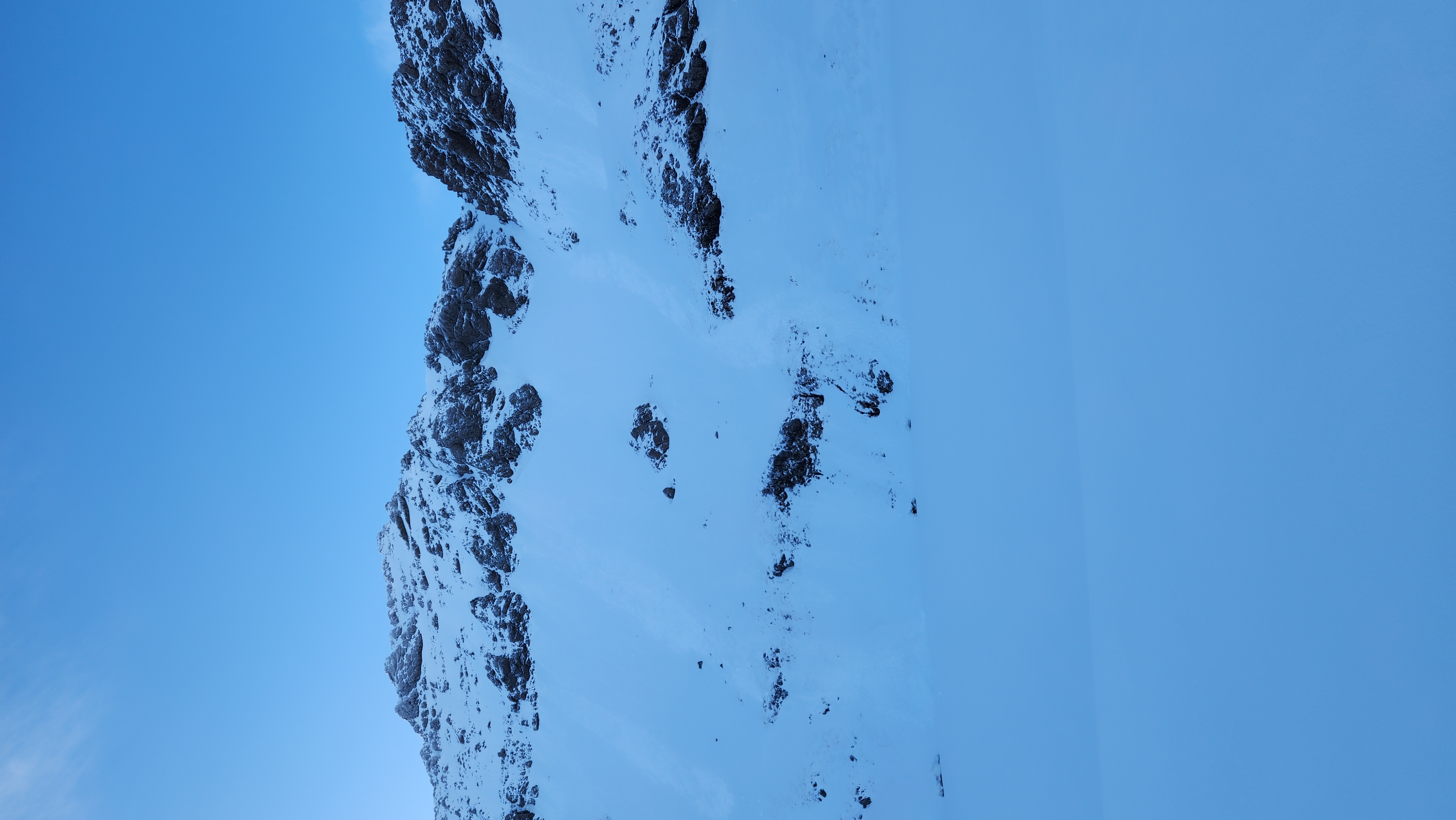
New snow plus sun/high freezing level equals loose wet hazard. Look out for surface warming and adjust routes to lower-angle terrain. Consider runouts including whats above you.
New Zealand · New Zealand Avalanche Advisory · part of New Zealand
Avalanche danger
Forecast issued yesterday · valid to Sep 22
Published by New Zealand Avalanche Advisory
With new snow at higher elevations and the sun expected to come out tomorrow, with a high freezing level. Expect the loose wet avalanche hazard to increase during the day. Combined with the wind slab that formed today, good assessment skills required for any backcountry travel tomorrow.
New snow plus sun/high freezing level equals loose wet hazard. Look out for surface warming and adjust routes to lower-angle terrain. Consider runouts including whats above you.

With 45mm of rain in Arthur Pass, this equals 45+cm of snow above 1900m, combined with strong winds, expect deep pockets. Avoid steep SE facing slope until the new snow has had time to settle.
Nothing reported in the last 24hrs. Expect a cycle of loose wet and loose dry to size 1.
Please keep these public observations coming! They are a great resource for mountain users and super helpful for us in forecasting.
So, please report any avalanches you see or come across in the public observations section of the NZAA website.
Today 45mm oif rain fell in Arthurs pass, with the freezing level around 2000m. Expect deep pockets of wind slab above 1900m and rain soaked snowpack below 1800m. 15 cm initially fell out of the NW part of the storm with gale winds, then another 15 cm out of the southerly part of the storm. This has fallen on a well-consolidated snowpack that, at lower elevations, became wet in the initial NW 48 hours ago, but now draining.
The odd shower before dawn, with snow to 900 metres, otherwise fine. Winds Westerly severe gale 95 km/h, easing to southwesterly gale 75 km/h before dawn, then to 35 km/h in the morning, then rising to westerly 60 km/h in the evening. Freezing level 1300 metres, lifting to 2200 metres in the afternoon, then to above 3000 metres in the evening.
New snow at higher elevatiosn will have lowered the sliding hazard but lower elevations may be firm in the morning. Crampons and an ice axe are a good idea.
Moderate
New Zealand Avalanche Advisory (NZ Mountain Safety Council)