How did this pass get this name? 🤣
Mar 16th, 2026 12:00 AM
AvCan Northwest
Stein
Details
Type
quick
Coordinates
50.363587, -122.148656
Quick Observation
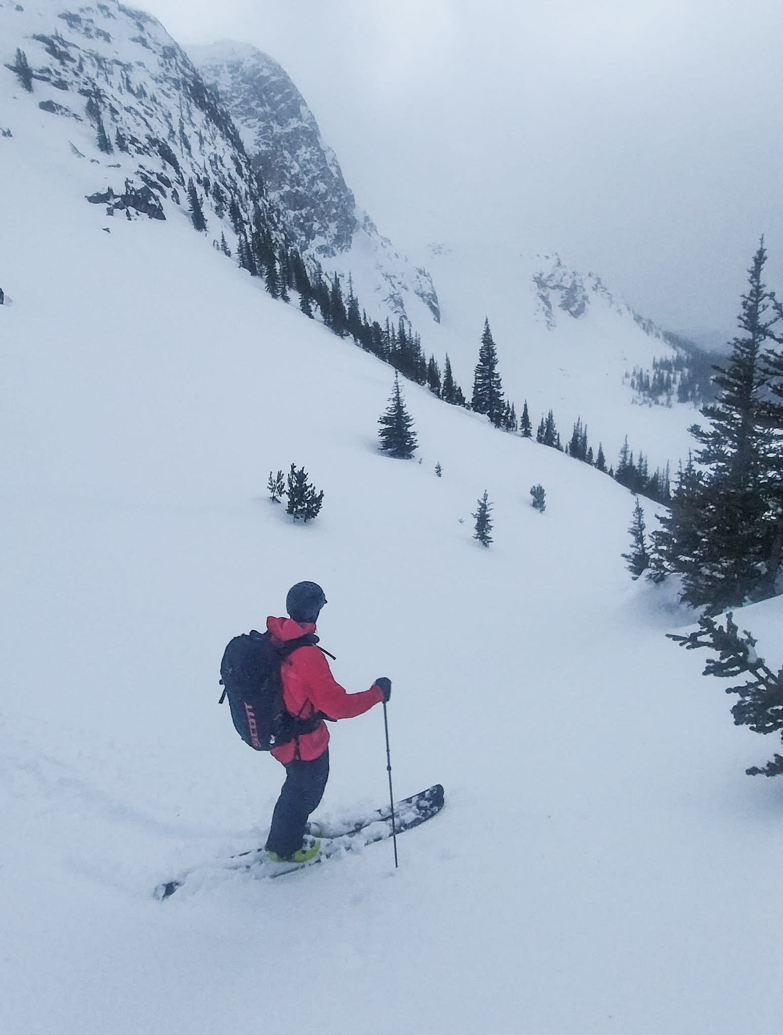
Managed to escape the worst of the atmospheric river by heading inland toward Blowdown Pass. As forecast, the area saw very little precipitation—about 5 cm overnight and another ~3 cm during the day.
Winds were strong and gusty from the west but didn’t move much snow. The snow surface was moist and mostly stuck in place, so there was limited wind transport except possibly in the high alpine.
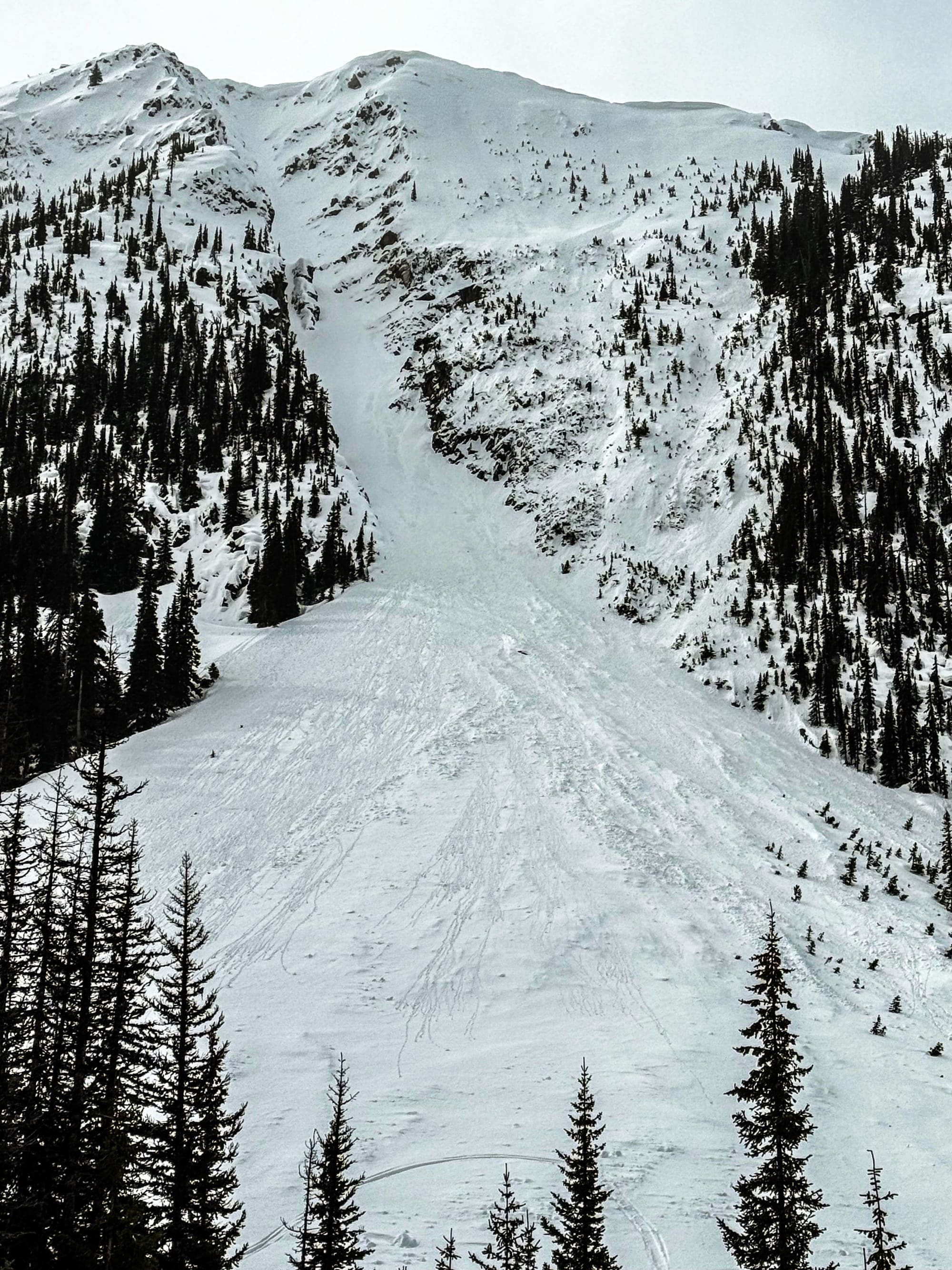
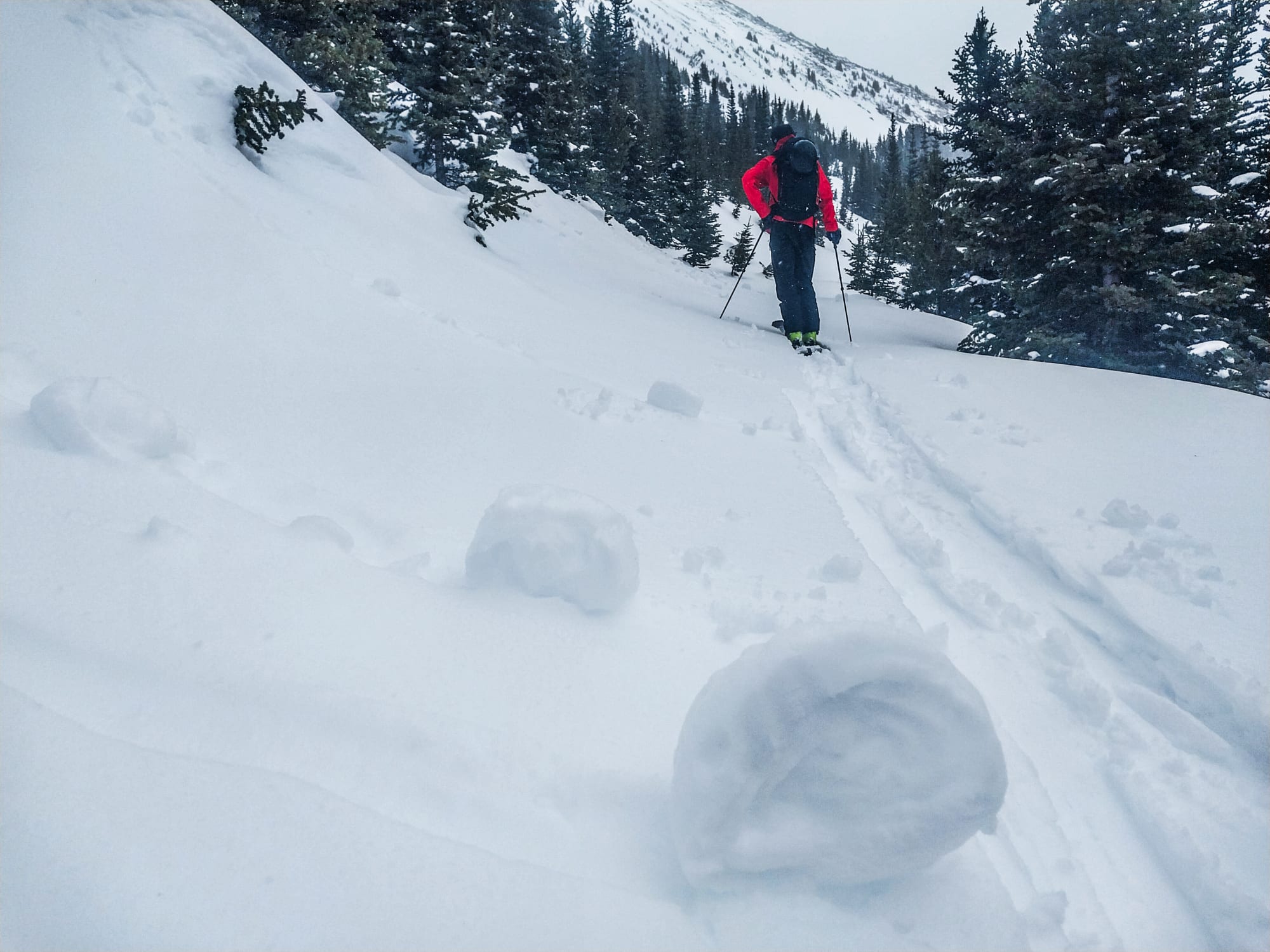
We didn’t see any slab avalanches. Just a few rollerballs and small loose sluffs on steeper slopes.
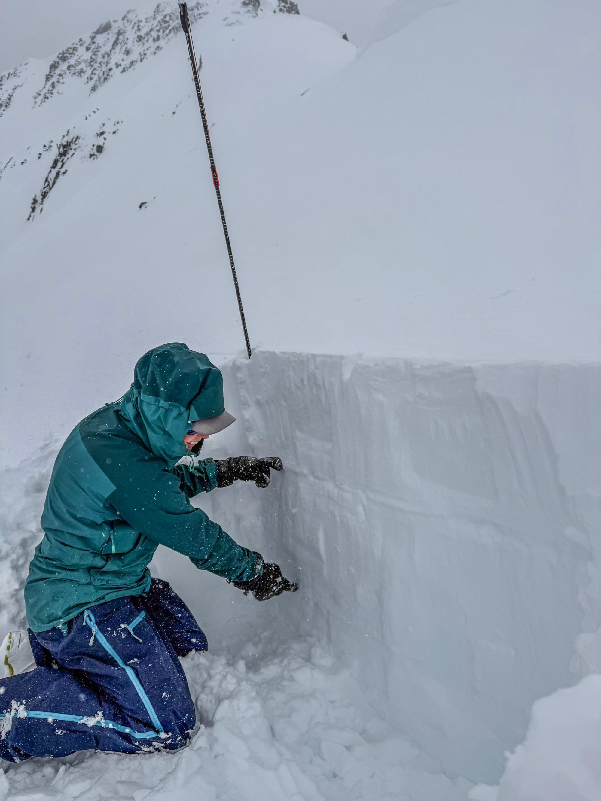
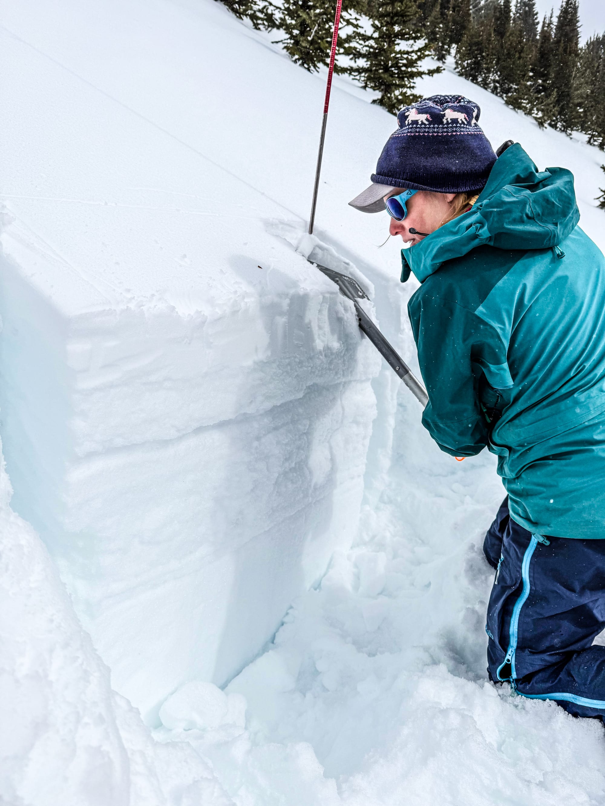
We dug two pits: one in SW-facing treeline terrain and one on a NE-facing wind-loaded alpine slope just below ridgetop. The February and March weak layers were present in both pits but seemed well bonded. They did not produce results in CT or ECT tests.
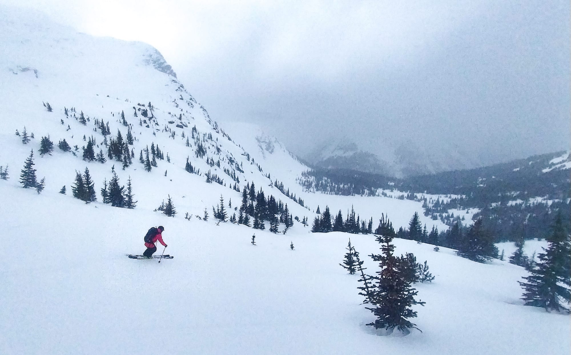
Skiing was great above about 1900 m with soft snow. Below that it became sticky and slow pretty quickly.
Photos (6)