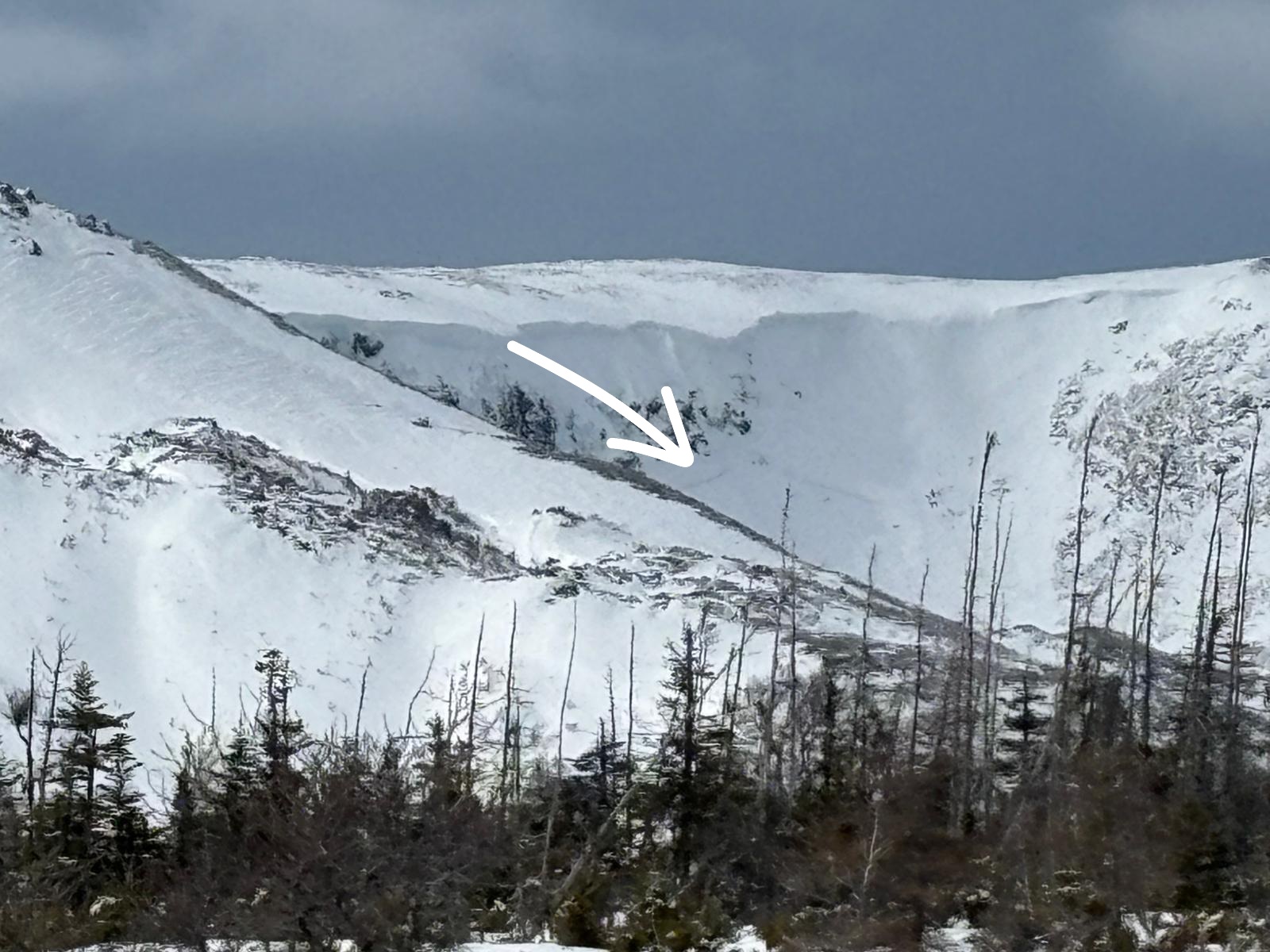
Blow Me Downs - Upper Bowl
Mar 11th, 2026 8:30 AM
avcannl
Long Range Mountains
Details
Type
quick
Coordinates
48.988560, -58.197800
Quick Observation
Avalanche Information
Weather
Snowpack
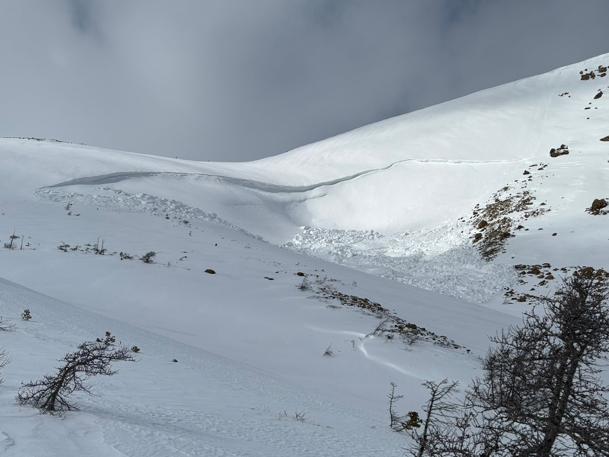
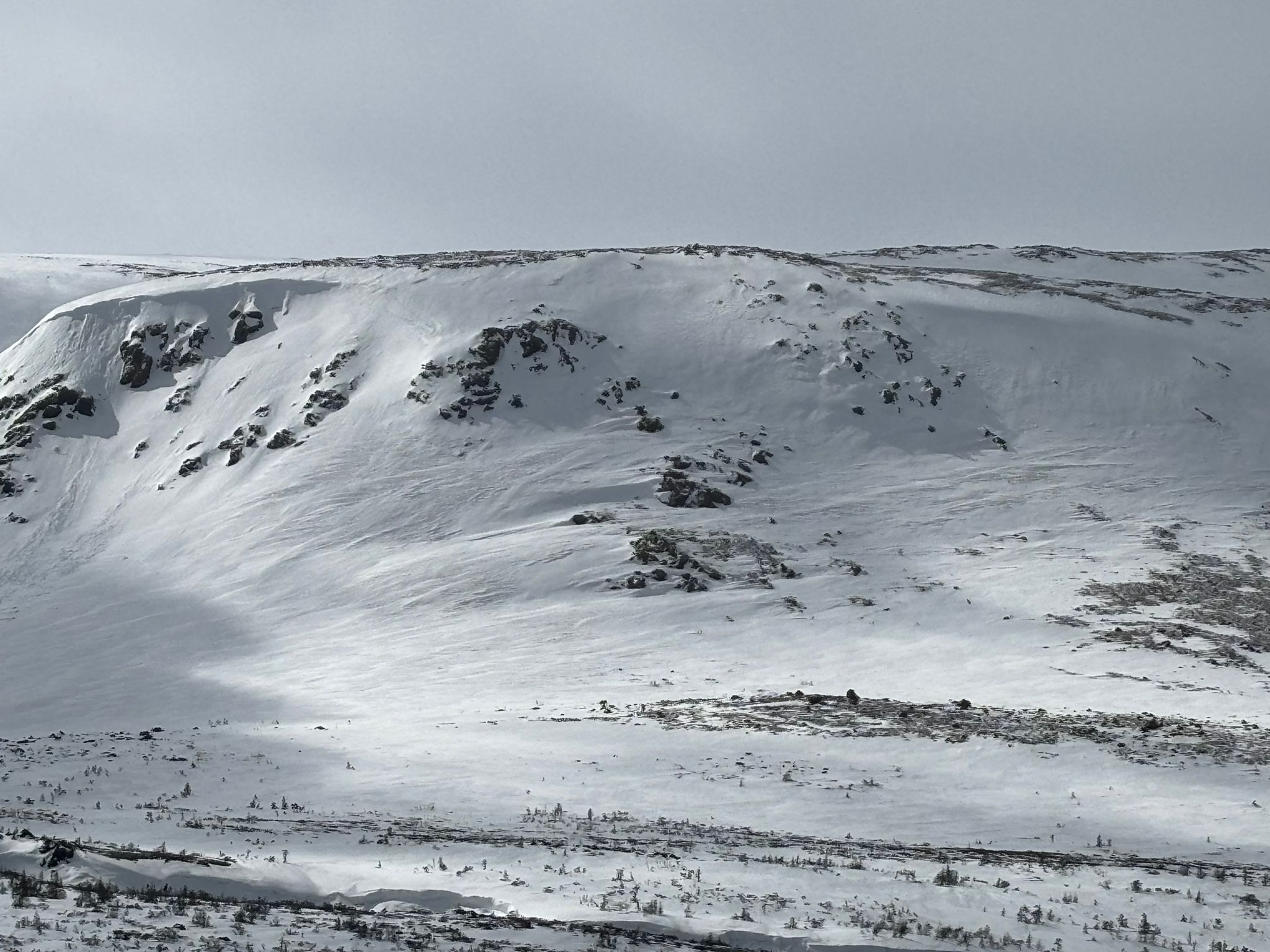
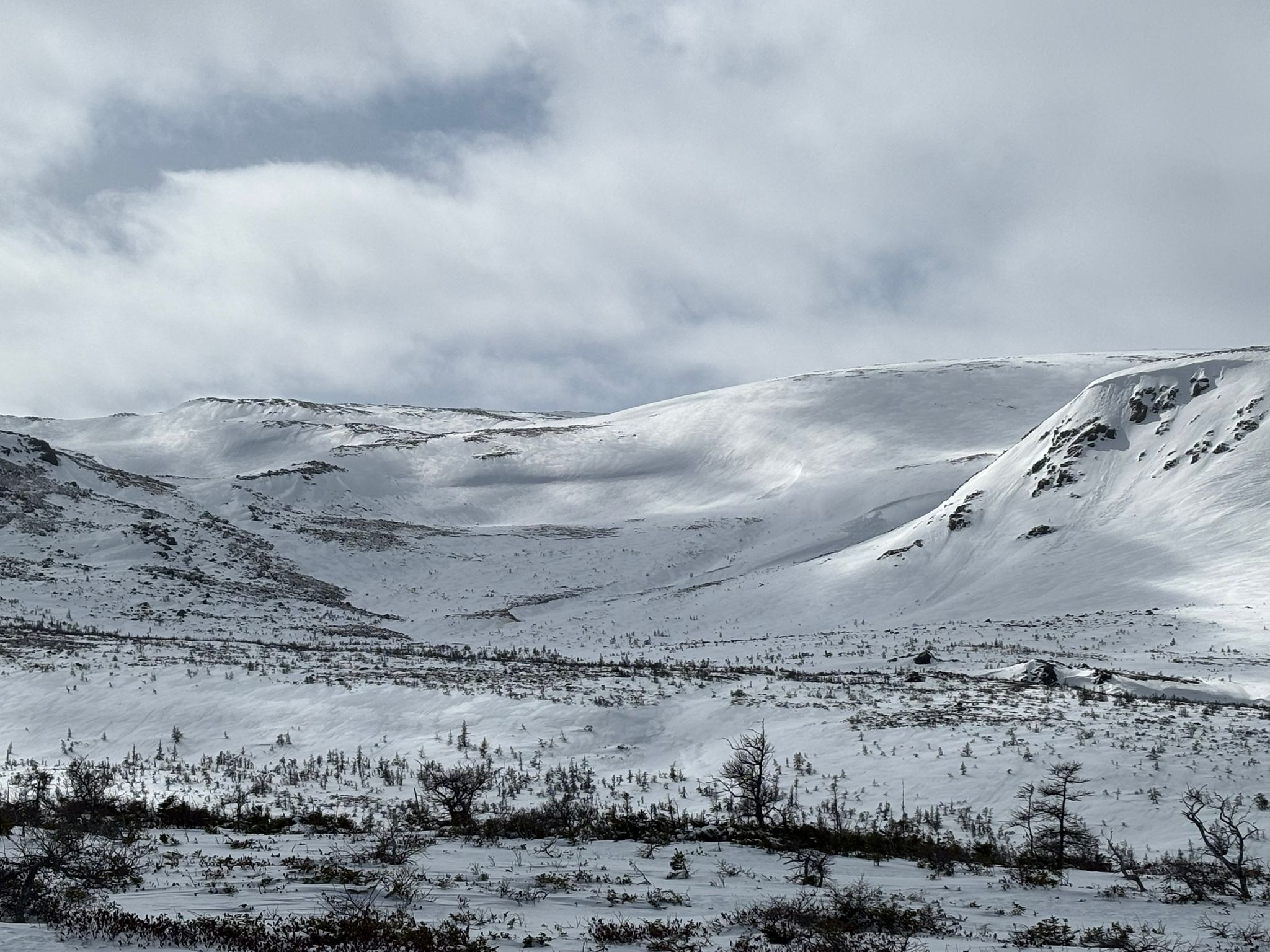
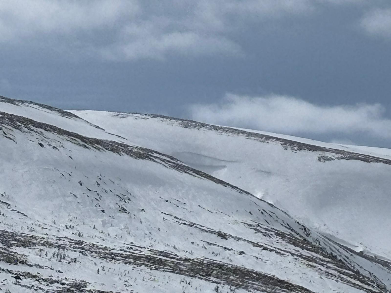
High Avalanche hazard on Monday into Tuesday as well as extreme warm weather and a rain event, line up with the natural avalanches that were observed today.
There is a widespread significant rain crust, around 25cm thick at 440m elevation.
5-10 cm of new snow, light winds, with poor bonding to new crust. The small amounts of snow are forming a soft wind slab on E facing slopes with very little snow left available for transport.
Snow was nonreactive in tests today.
Access to this terrain has seen some significant snow loss around moving water. Crossing the stream and ponds are still in good condition, with a little bit of slob.
Photos (5)