False prophets
Dec 4th, 2025 8:45 AM
thomasbiddlecombe
Icefields
Details
Type
quick
Coordinates
52.226100, -117.249778
Quick Observation
MIN REPORT NOTES:
⛰️❄️❄️❄️❄️💨💨💨💨💨❄️⛰️
52.47543N, -117.50165E
1485m altitude @ 10:09:
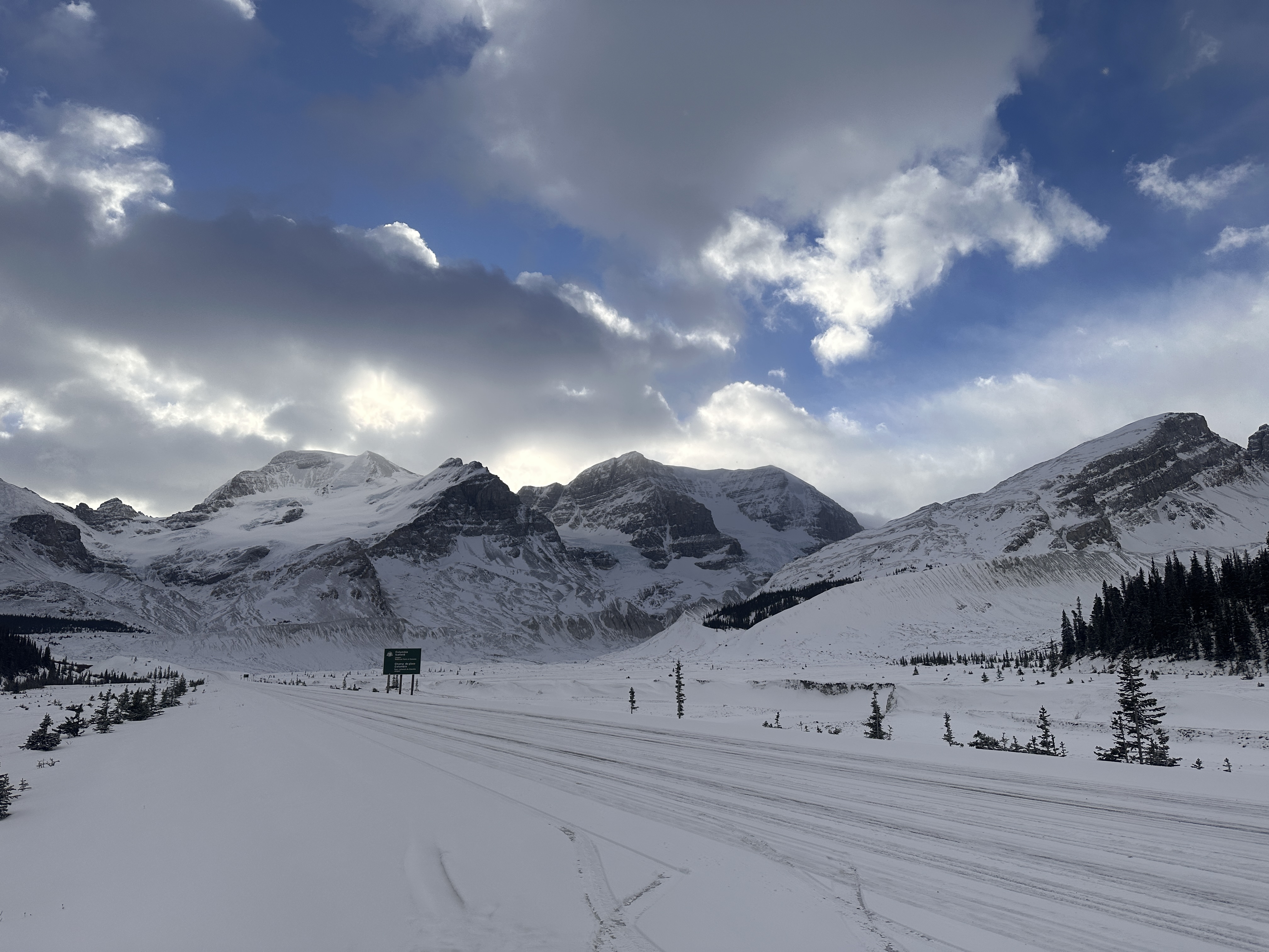
Sunwapta river is frozen over with snow on top, not sure of ice depth
⛰️❄️❄️❄️❄️💨💨💨💨💨❄️⛰️
52.2269N, -117.25041E
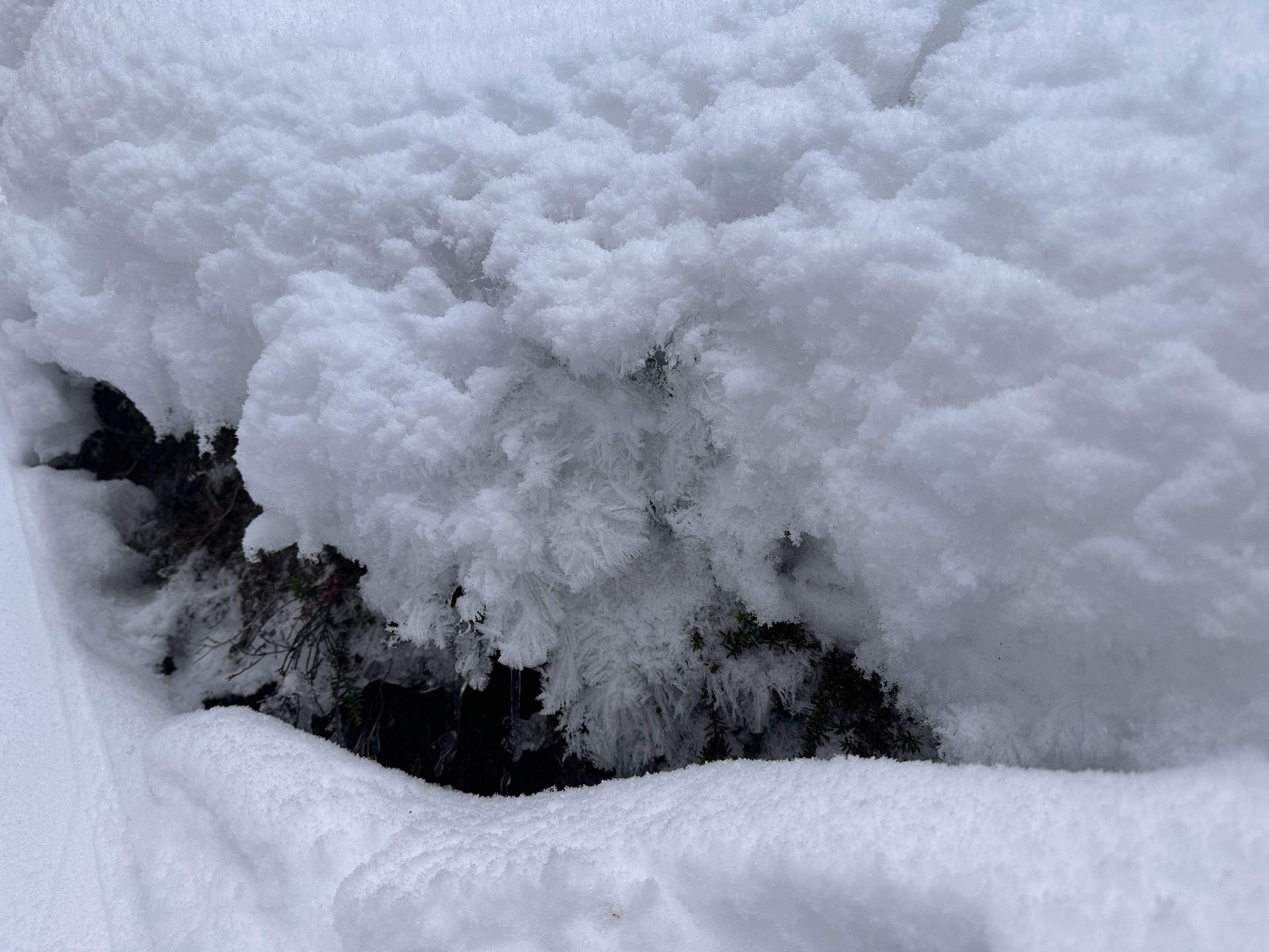
1969m altitude @ 11:26:
Weird ice crystals
⛰️❄️❄️❄️❄️💨💨💨💨💨❄️⛰️
52.22687N, -117.25313E
2005m altitude @ 11:44:
Stiffness in the rain layer observed at 5 cm depth
⛰️❄️❄️❄️❄️💨💨💨💨💨❄️⛰️
52.22674N, -117.25343E
2013m altitude @ 11:49:
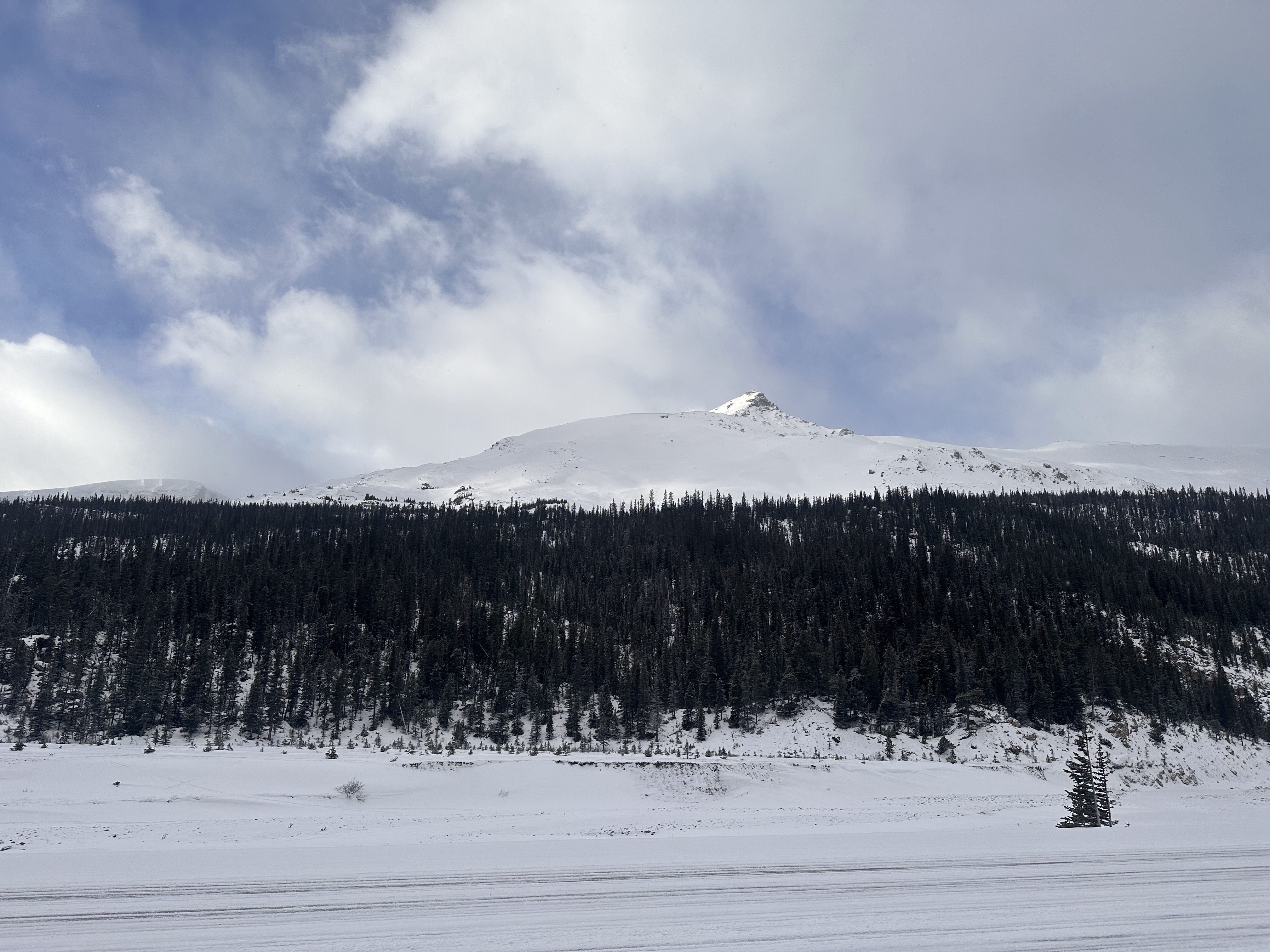
20 to 30 cm of snow
﹋﹋﹋\/﹋﹋|⛷️|﹋﹋﹋﹋﹋﹋\/﹋﹋
52.22377N, -117.25667E
2102m altitude @ 13:00:
Rain layer gone
/\^^/\ ⛷️/\^/\ /\^^/\ /\^/\ ⛷️/\^^/\
52.22262N, -117.25798E
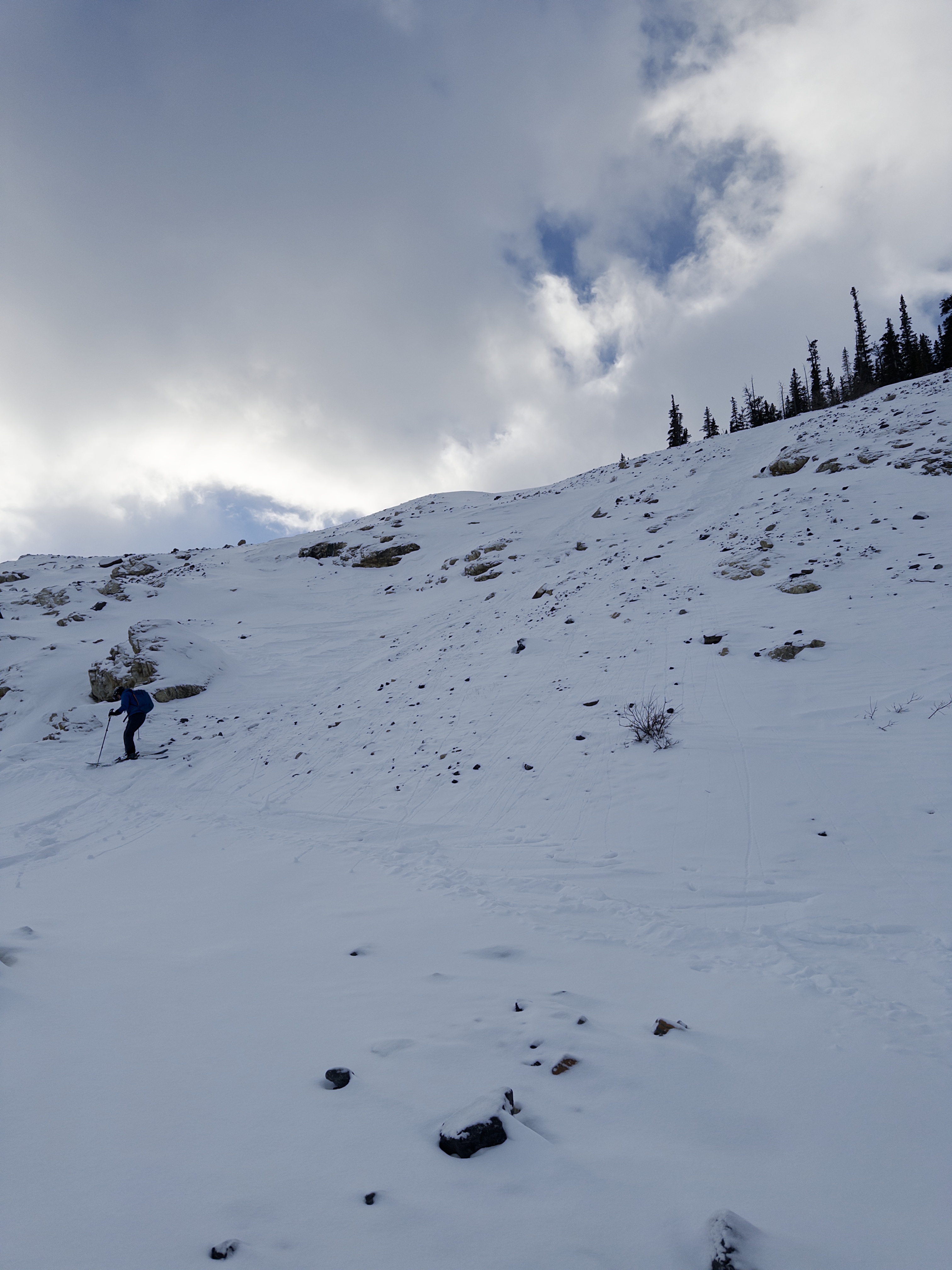
2147m altitude @ 13:28:
2 1/2 hours for 200 m of elevation game
/\^^/\ ⛷️/\^/\ /\^^/\ /\^/\ ⛷️/\^^/\
52.2216N, -117.25848E
2179m altitude @ 13:44:
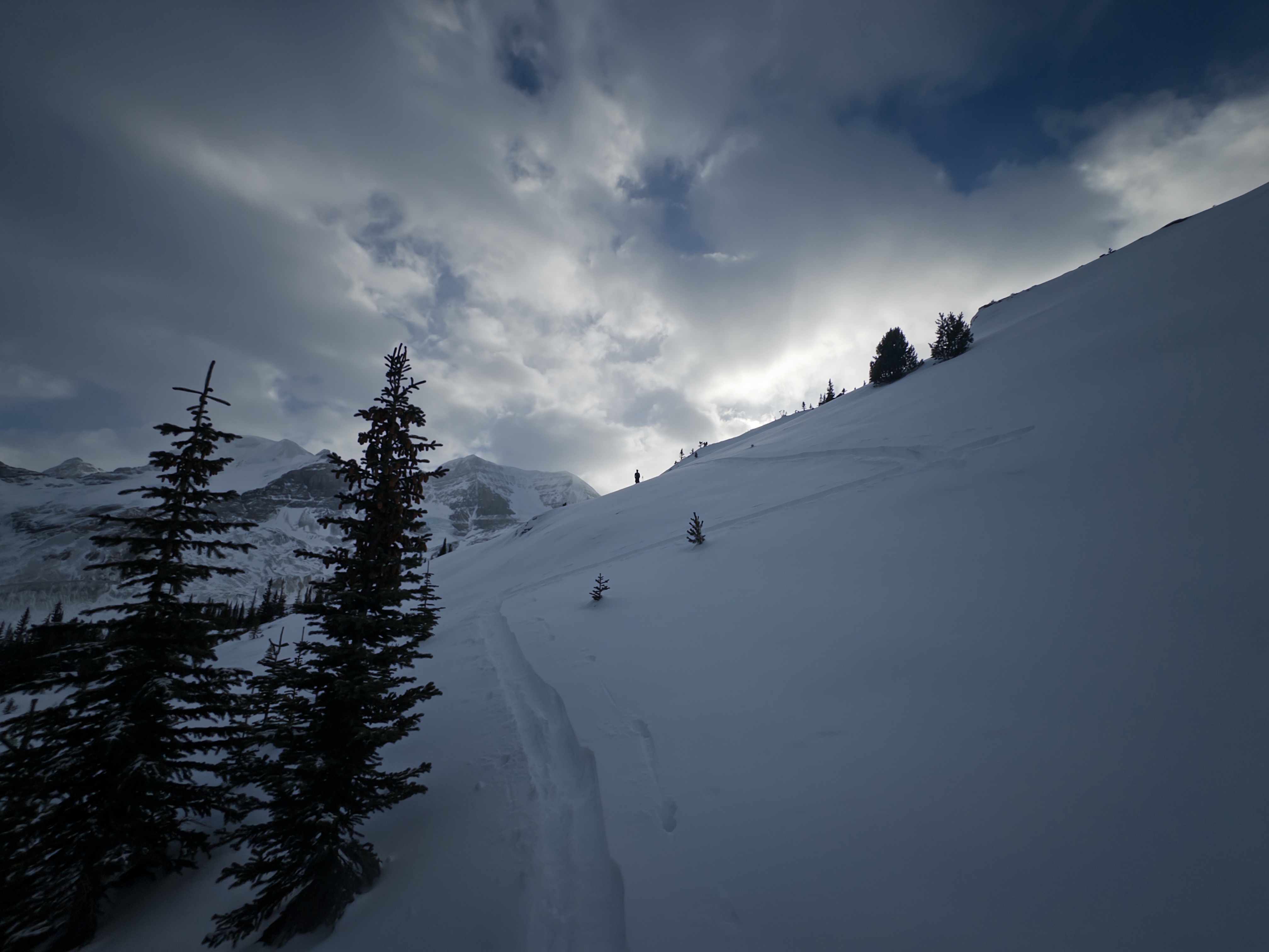
Follow the skin track from here
We approached through the trees. Don’t do this it’s horrible and steep and just no. Go up the south ridge. But atm there isn’t enough snow, a lot of core shots and a walk off for some of it. We only got 300m up in 3hrs, and that’s only because the terrain was horrific, we were physically fine.
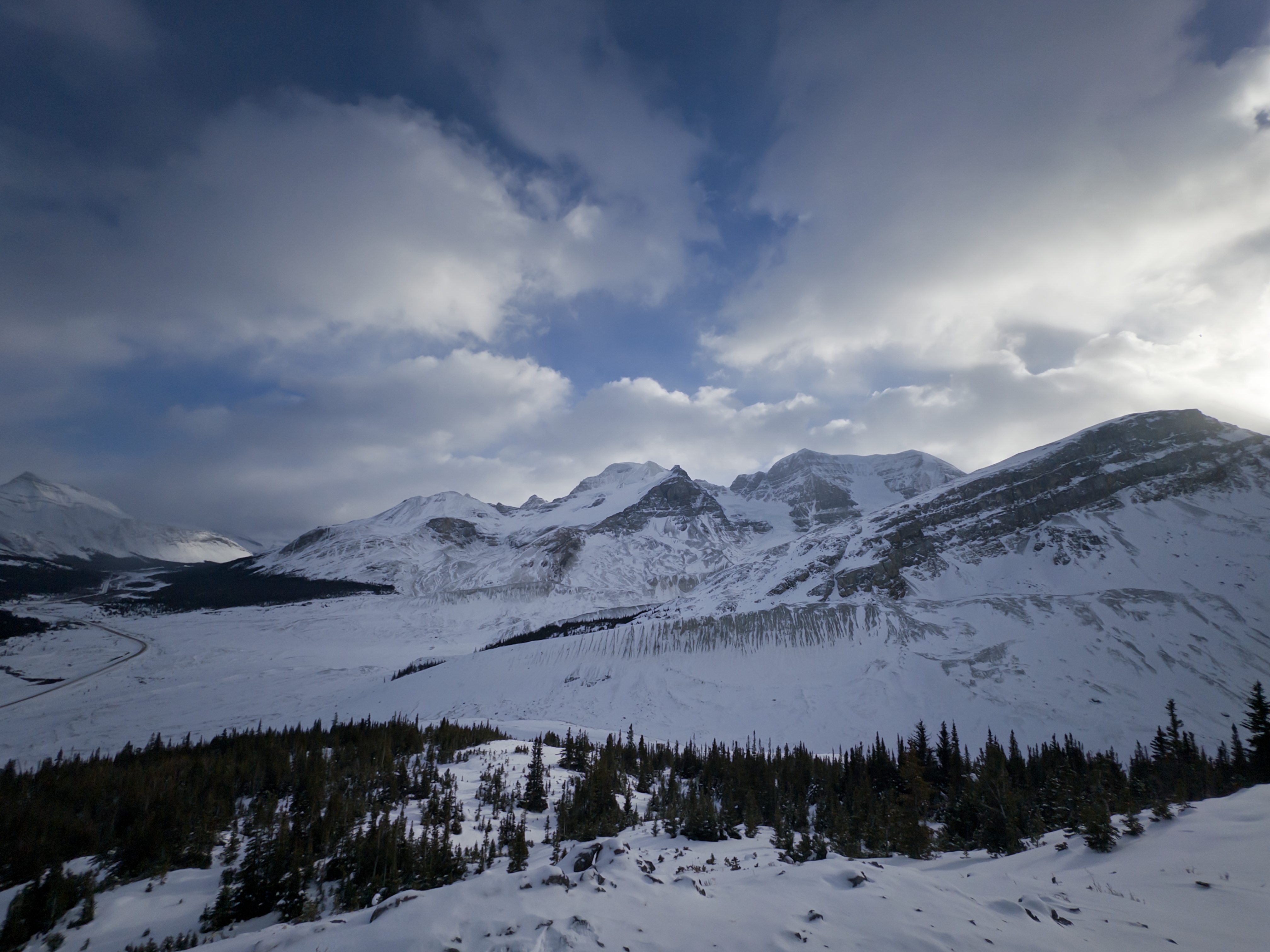
The gully’s for Churchill look okayyy but idk how much snow you need for it, but the sides of the gully where bear.
Shoutout to my fan in the visitor center, sorry no zip line across the river today.
Photos (6)