
Quick report
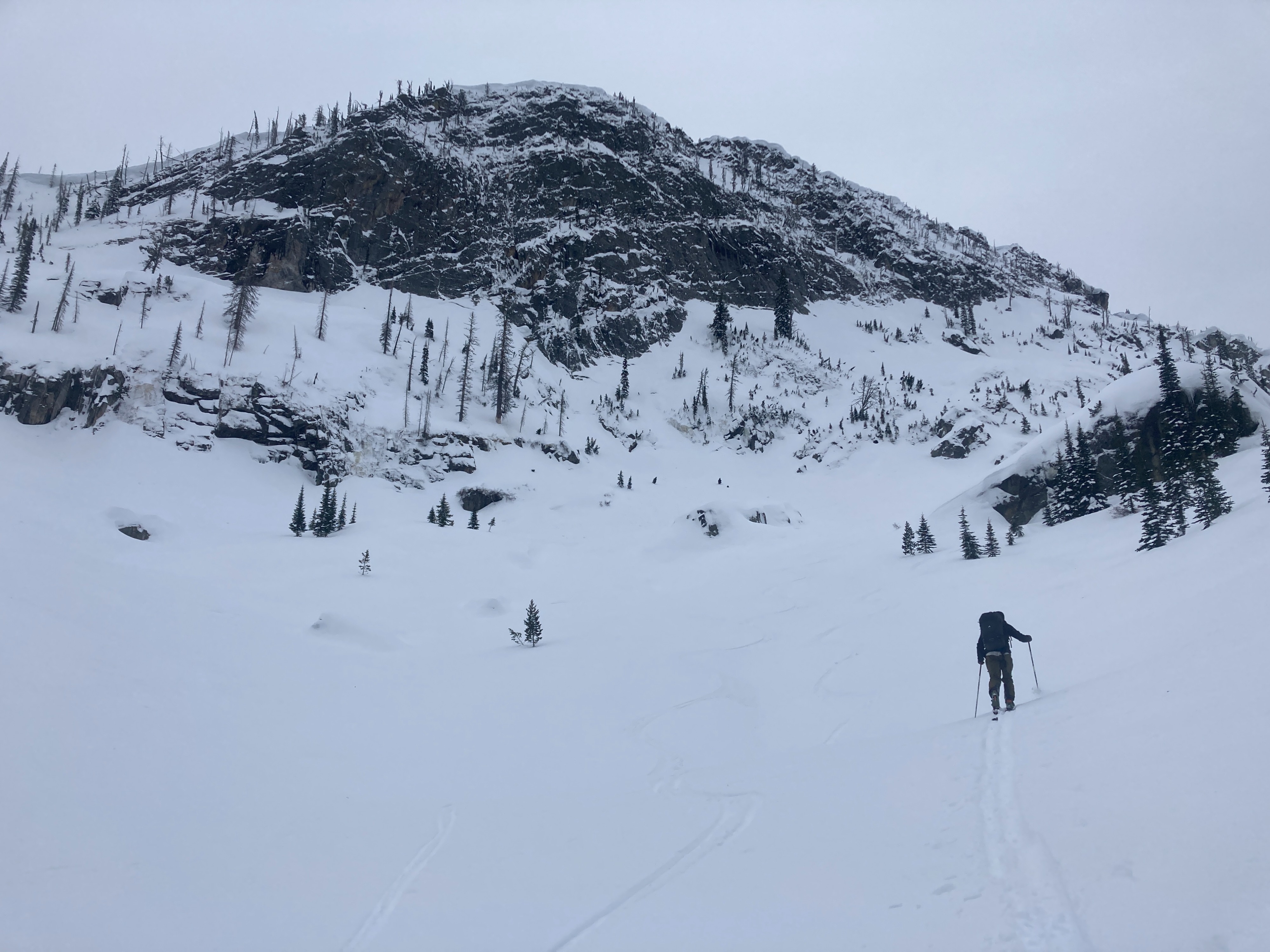
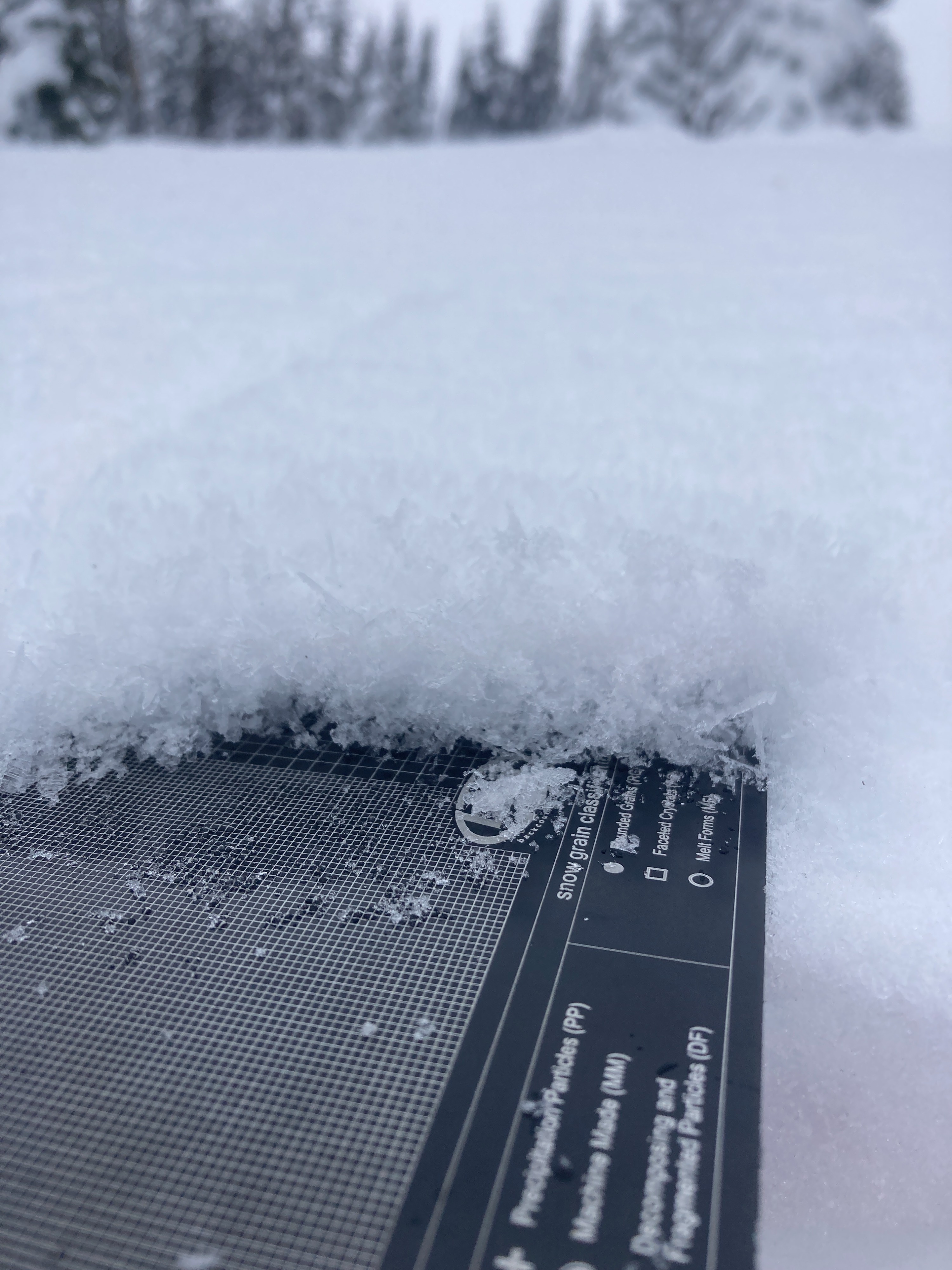
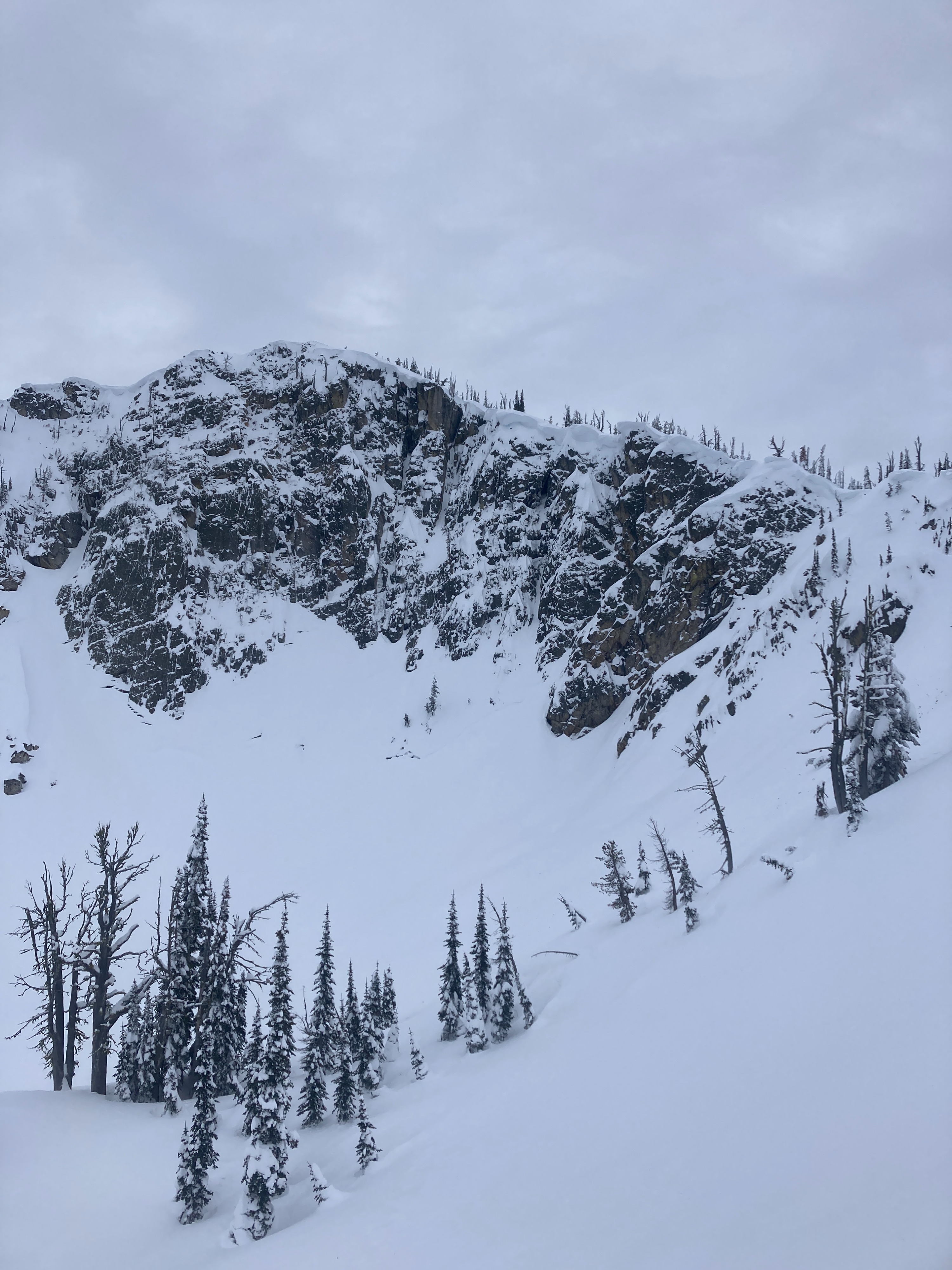
Nice day to be out in the mountains just head of an incoming storm. Light winds, with moderate gusts out of the W/SW along ridgetops. No current signs of instability. However, surface hoar (at the snow surface) and recent crust/facet combinations (10" below the surface) may become problematic under new snow. Beneath the 01/03 rain crust, a generally stable and rightside snowpack was observed in at least two different locations today. Incoming storm brought moderate snowfall rates beginning around 1600.
No signs of current instability noted on this tour.Weather
- Cloud Cover
- overcast
- Wind Loading
- light
- Recent Snowfall
- None
- Snow Avail For Transport
- small smounts
Skies were overcast and winds were light out of the W/SW, increasing slightly by the afternoon. An approaching storm system was moving in by early afternoon. Precipitation began around 1500 and ramped up in intensity as we got back to the parking lot.
Snowpack
We dug two different pits today. One was at 8025', E/NE aspect, HS 305 cm (10 ft.). Rain crust was not present here but faceting was observed around 01/03 interface. Rightside up snowpack in this location. Second pit was 7470', W/SW aspect, HS 245 cm (8 ft.). CT 14 BRK, ECTN 15, 25 cm (10") down on small-grained facets just below 1-2 cm thick 01/03 rain crust. 5-10 mm surface hoar observed at second pit location.