
Quick report
- Collapsing
- specific
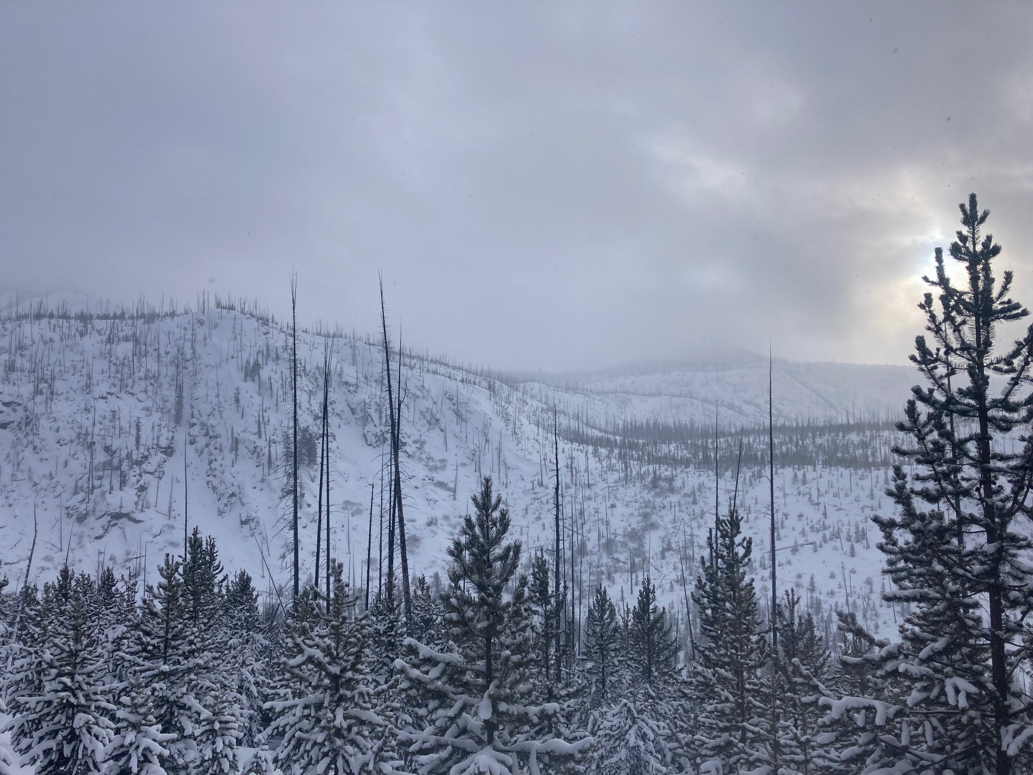
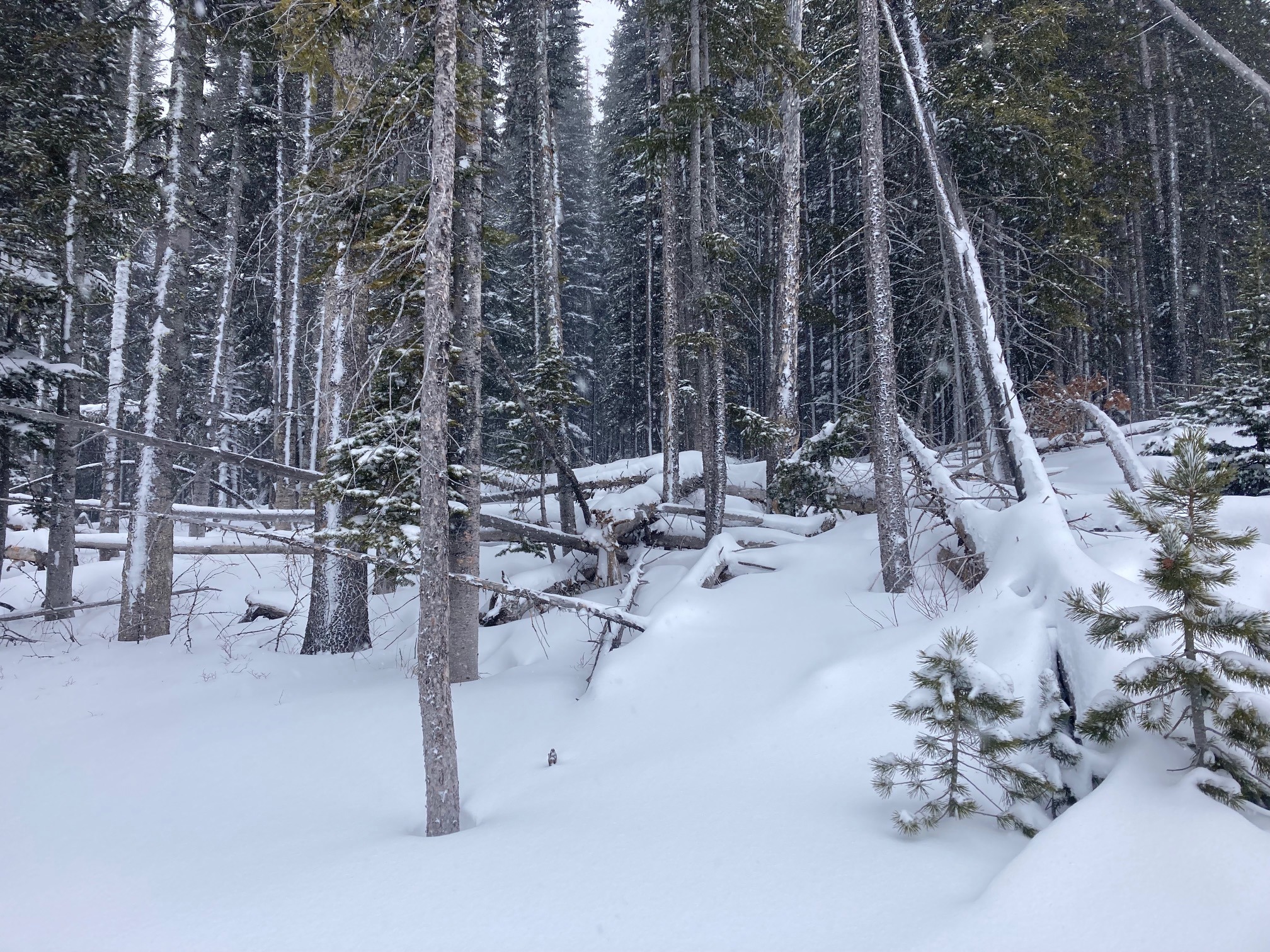
About 12" of low density new snow in previous 48 hours. Snowmobiling conditions were excellent until you realized there was still only 2 feet of snow on the ground in some places. New snow was very soft in wind loading was fairly isolated in this location. New snow was not bonding well to interface with snow from last weekend (01/08). Poor structure continues to keep overall snowpack strength fairly low. Multiple buried weak layers with more snow and wind forecasted for the next few days with increase instability and avalanche danger. Collapsing of new storm snow and talkative snowpack observed from 6800-7400'. This was a southern aspect.
Weather
- Air Temp
- 12
- Cloud Cover
- overcast
- Wind Loading
- light
- Recent Snowfall
- 25-35
- Snow Avail For Transport
- large amounts
Snowing steadily from 0930-1630. Heavier in the AM (S2), lighter in the PM (S1). Cold temperatures and very light snow falling. SW winds were lighter than anticipated in this location.
Snowpack
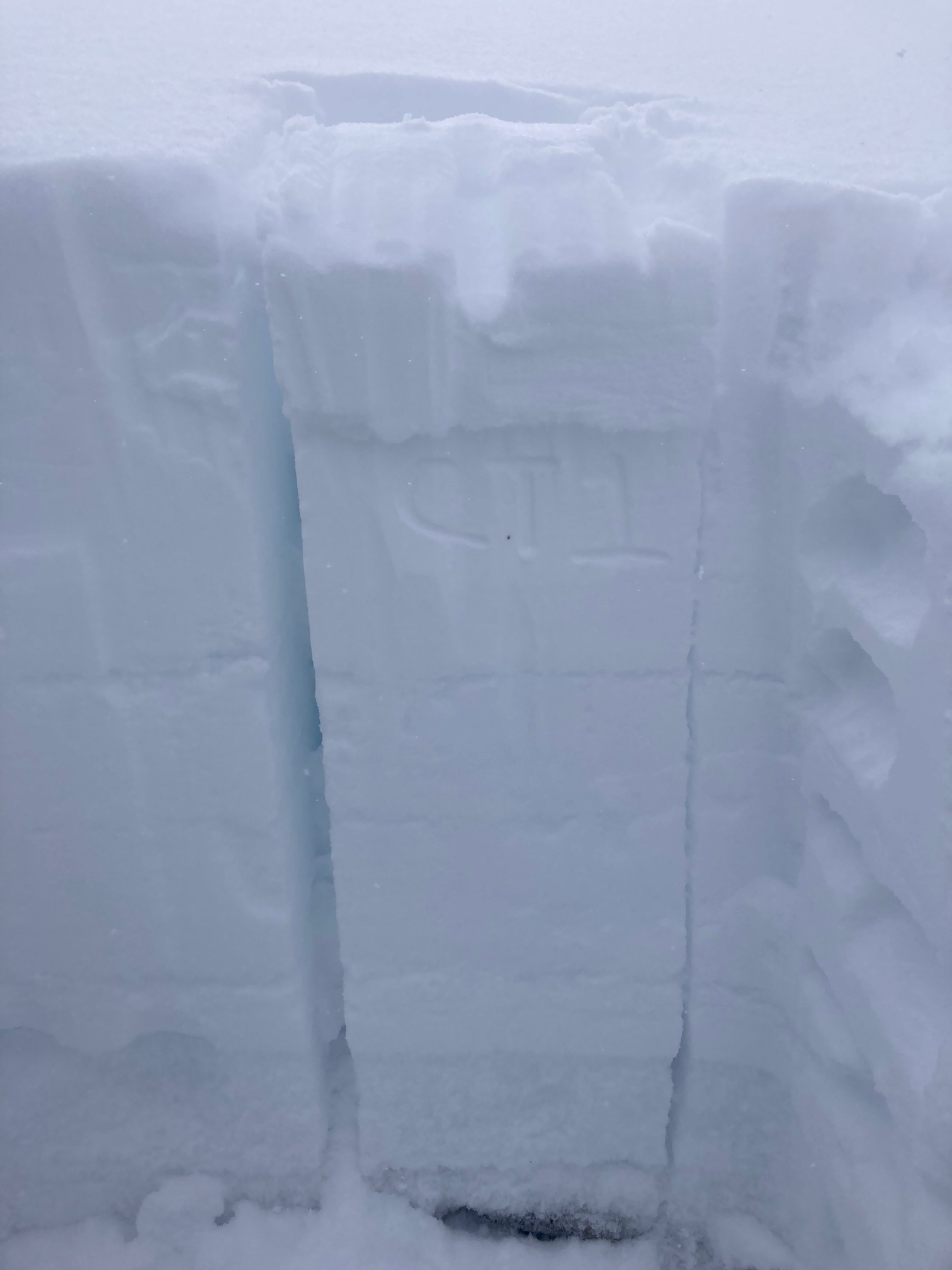
We dug two different pits today. One was around 6900', SW aspect, HS 60 cm. 25-30 cm of new storm snow. Very easy failures at new/old interface 01/08. Not full block propagation, but more than half the block propagated ECTN 9, 27 cm down. Second pit was 8210', NE aspect, HS 108 cm. HST 37 cm. Very easy failures within new storm snow. Buried surface hoar 37 cm down. No propagation on buried weak layers in this particular pit.