
Quick report
- Cracking
- widespread
- Collapsing
- widespread
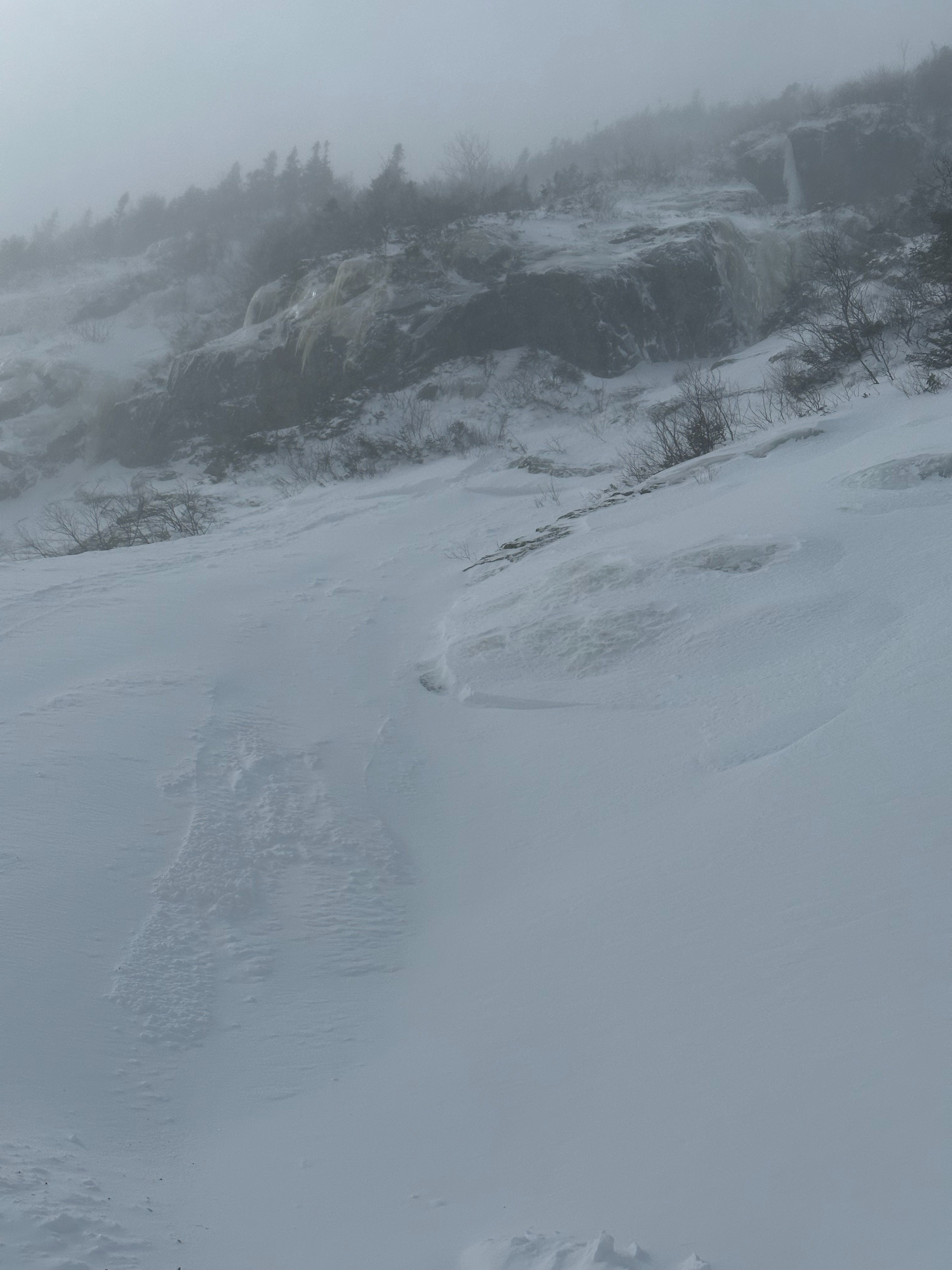
Observed conditions aligned with this mornings avalanche forecast and rating. This observation is from the Dutchess butress and Lower Snowfields, which is more wind-sheltered than some other surrounding avalanche terrain. In general, conditions here can be more touchy than some of these other areas, or the effects of the wind can be slower to come to fruition. Poor visibility kept observers from getting visuals of bigger avalanche paths today, however I would expect many paths to have gone through a natural avalanche cycle and developed wider tracks and runouts as a result.
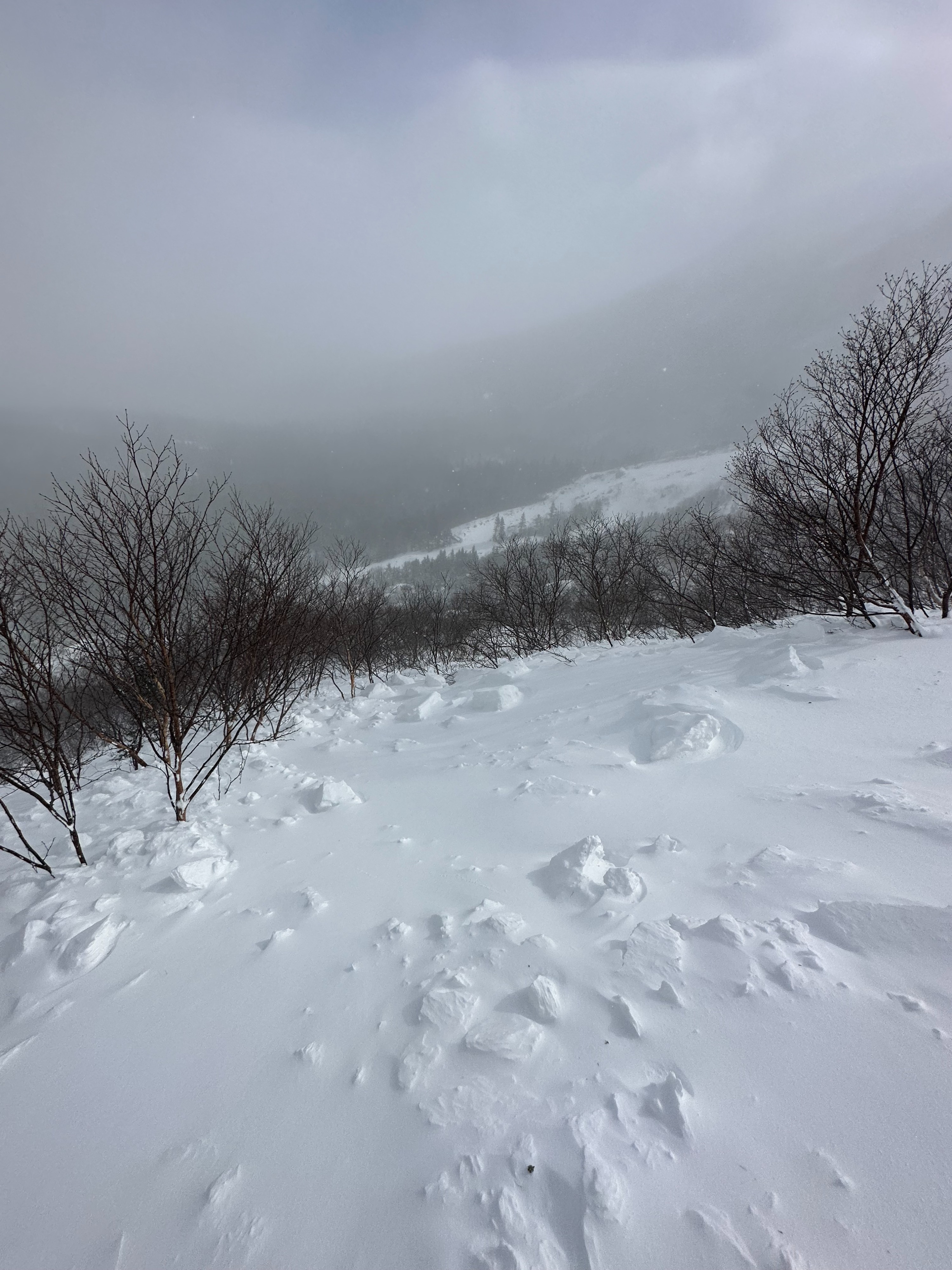
The amount of windloading happening today was impressive, given the meager snowfall totals of the recent storm. Even drifts on the low elevation trails and approachs today were surprisingly reactive to a trigger. Ridgeline winds were sustained throughout the day at ~50-60 mph and are forecast to be dropping overnight. This potentially means that reactive hard slabs still exist in steep avalanche terrain, although confidence here is not high. If soft snow is encountered tomorrow in avalanche terrain, ski conditions in these areas could continue to be quite dangerous.
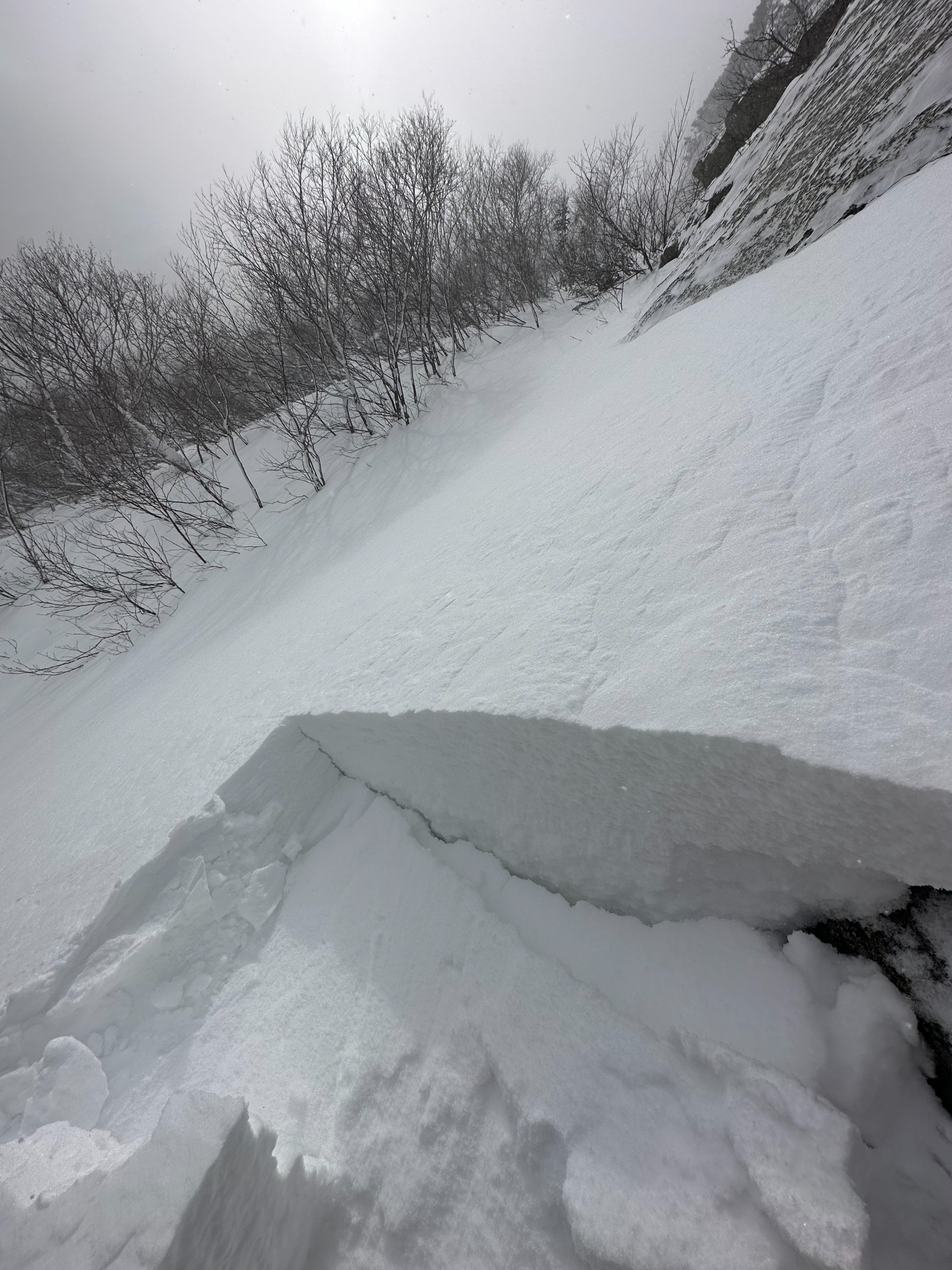
Multiple signs of instability were observed including recent natural avalanches, human-triggered avalanches on test slopes, shooting cracks and whumping across snow slopes, and significant amounts of blowing snow being loaded from westerly aspects onto easterly aspects. New wind slabs were most sensitive where slabs were 4 finger and 1 finger in stiffness and were strong over weak in structure. In these areas, weak layer collapse and slab propagation occured from the weight of a single skier. In areas of softer slab, propagation was more stubborn, in mellower terrain. The ability for weak layer failure to translate from a thin spot (6 inches), out to areas of deeper slab (2 feet), was noted.Weather
- Air Temp
- 5
- Cloud Cover
- obscured
- Wind Loading
- intense
- Recent Snowfall
- 8 - 10 inches
- Snow Avail For Transport
- moderate amounts
Obscured skies from blowing snow limited visibility. Temperatures hovered around 0 degrees F at 4500 feet throughout the day. Winds were strong and gusty from the northwest.
Snowpack
New wind slabs varied in depth between 6 inches and 2 feet thick. They were widespread across this terrain but varied in hardness and reactivity. Upper portions of the slab were between 4-finger and 1-finger in hardness and were universally Fist hardness near the old snow interface, giving them a widespread strong-over-weak structure. Reactive slabs were commonly found during this tour. Touchy slabs were found in sheltered areas, especially below cliffs and "coves." Multiple mid-slab density changes were observed likely from shifting winds, multiple wind speed changes, and dropping temperatures.
Avalanche
- Size
- D1.5 R3
- Type
- HS
- Count
- 3
- Aspect
- E
- Trigger
- N
- Elevation
- 4600 ft
Likely avalanche the night of 2/23. It is possible that this is a repeat offender and slid more than once.