
Quick report
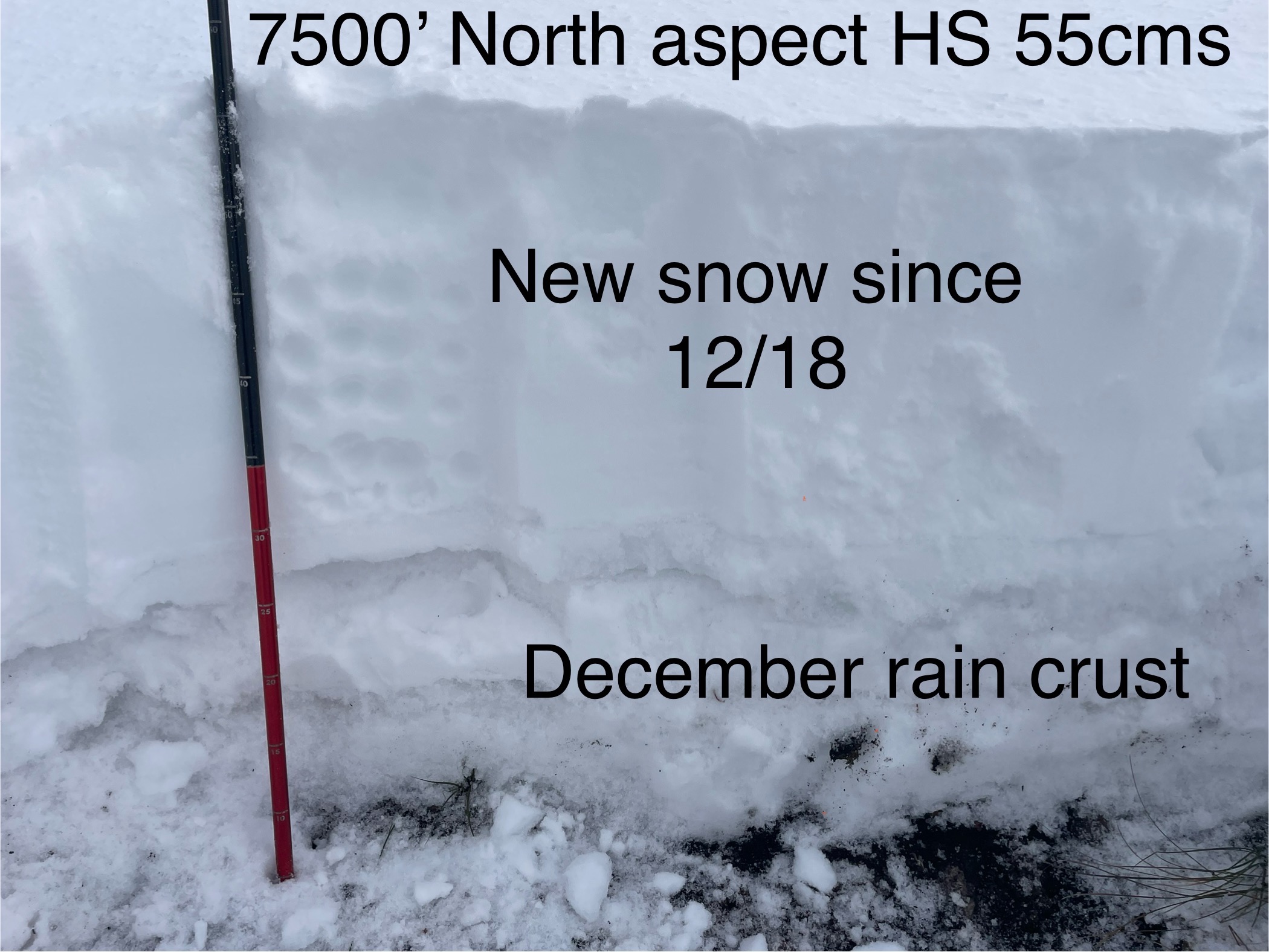
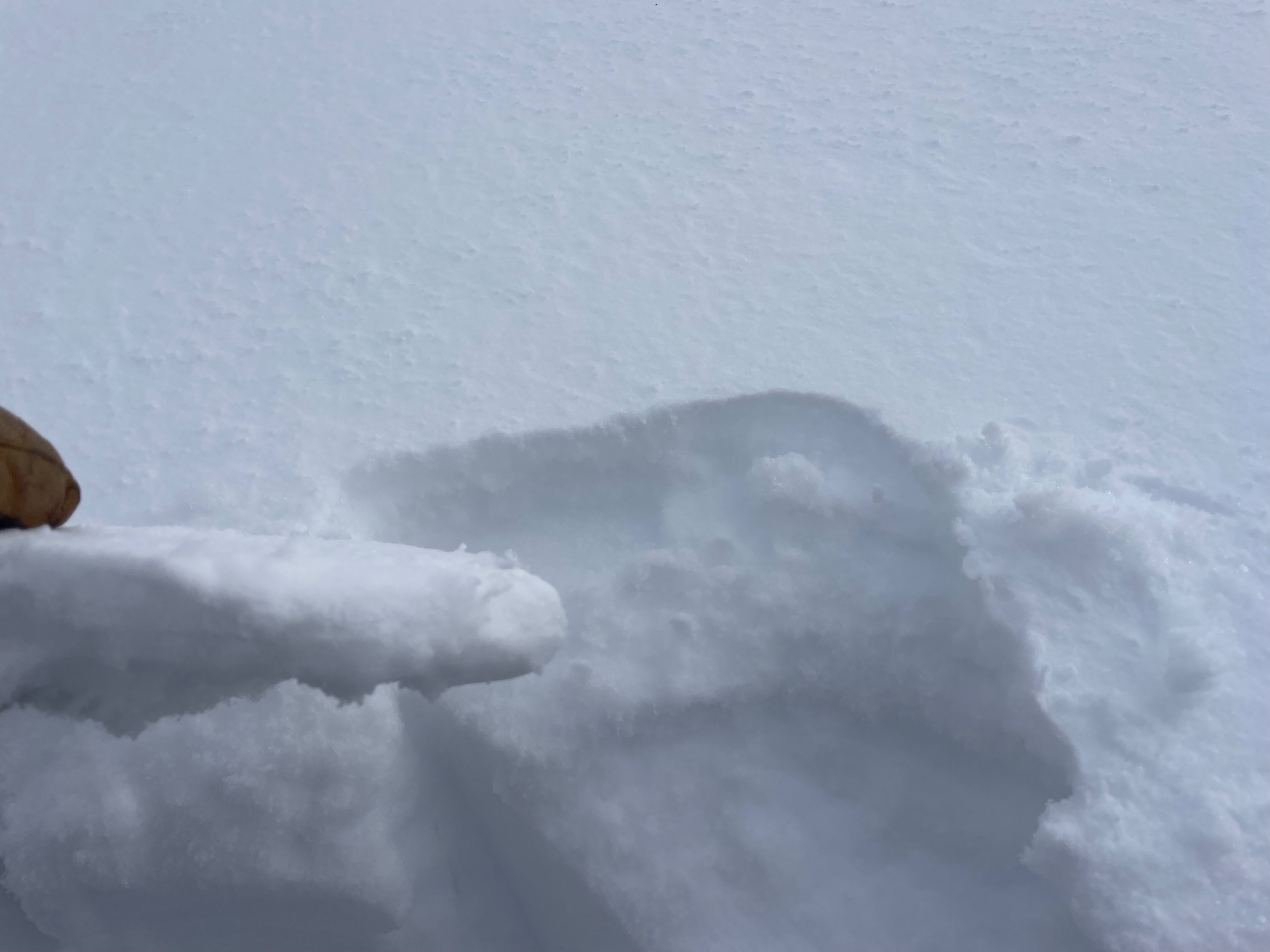
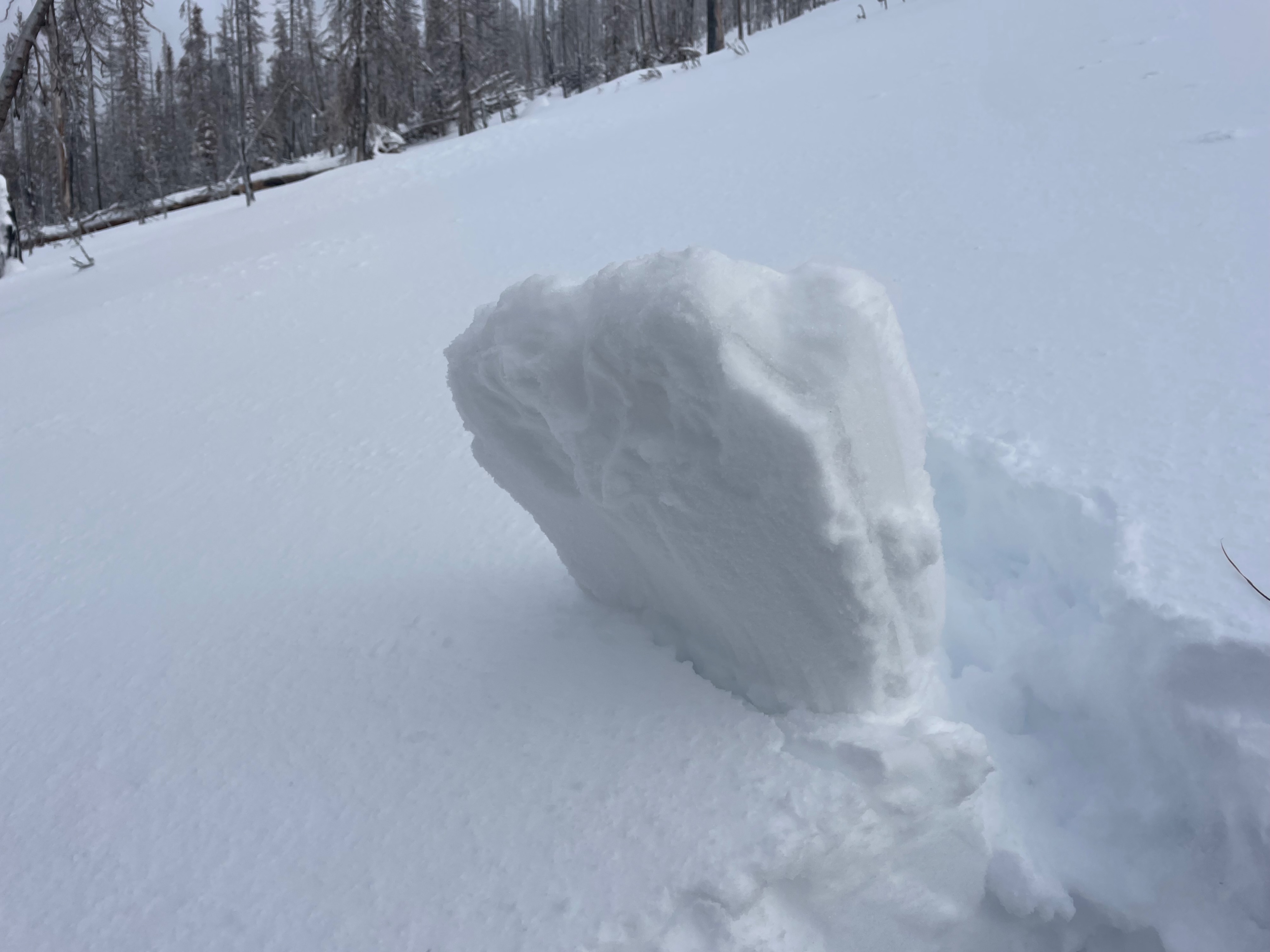
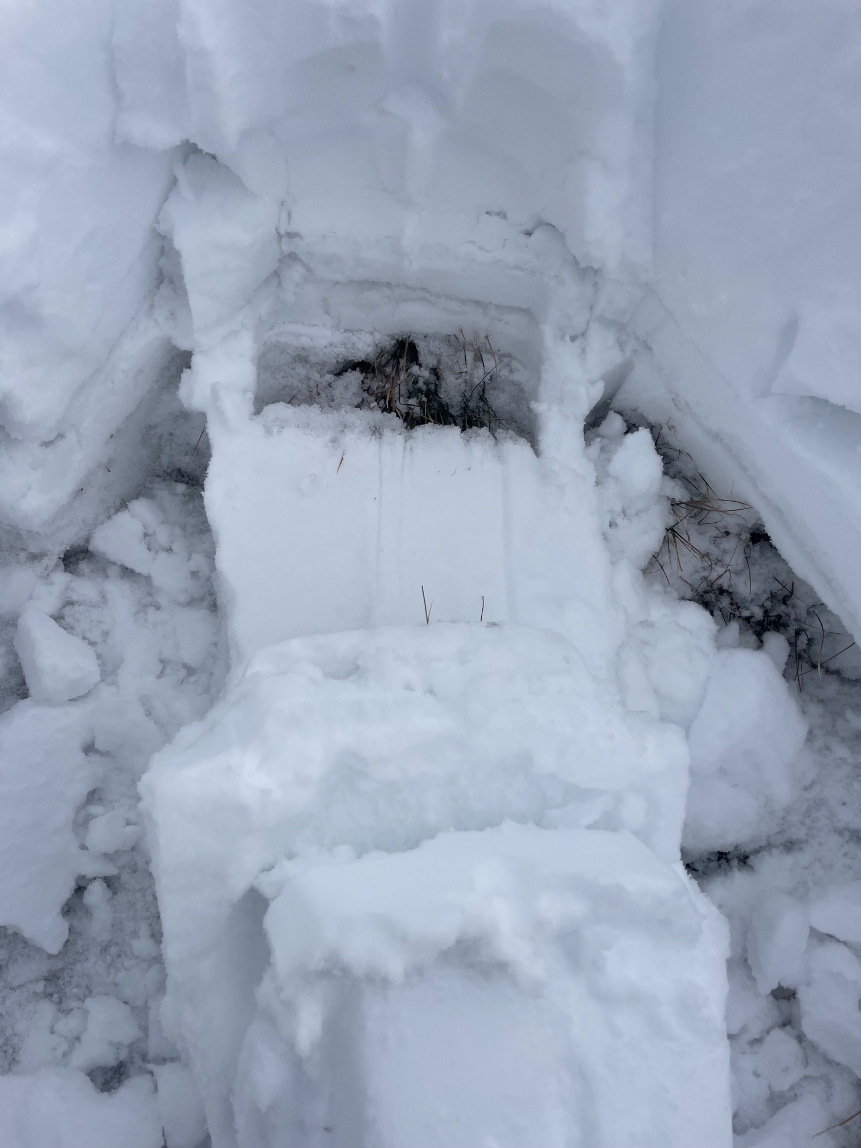
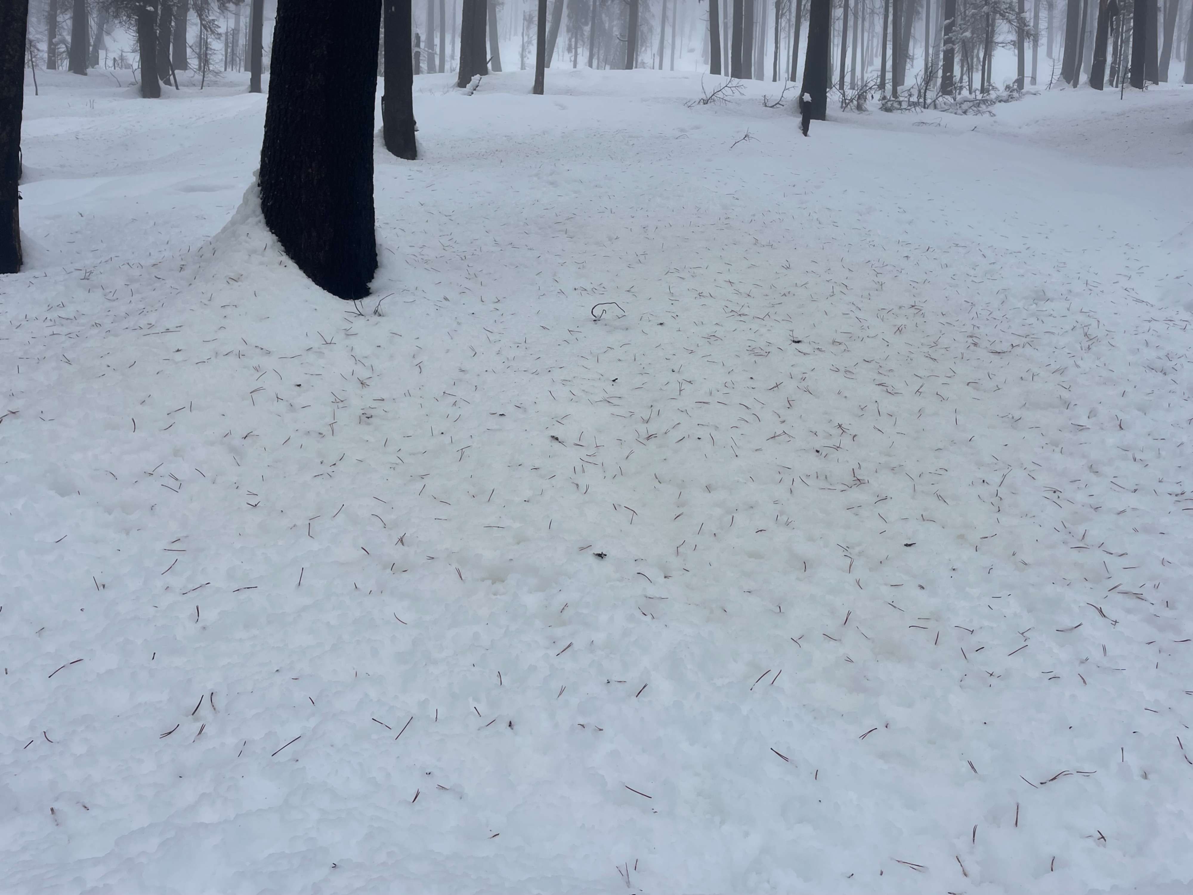
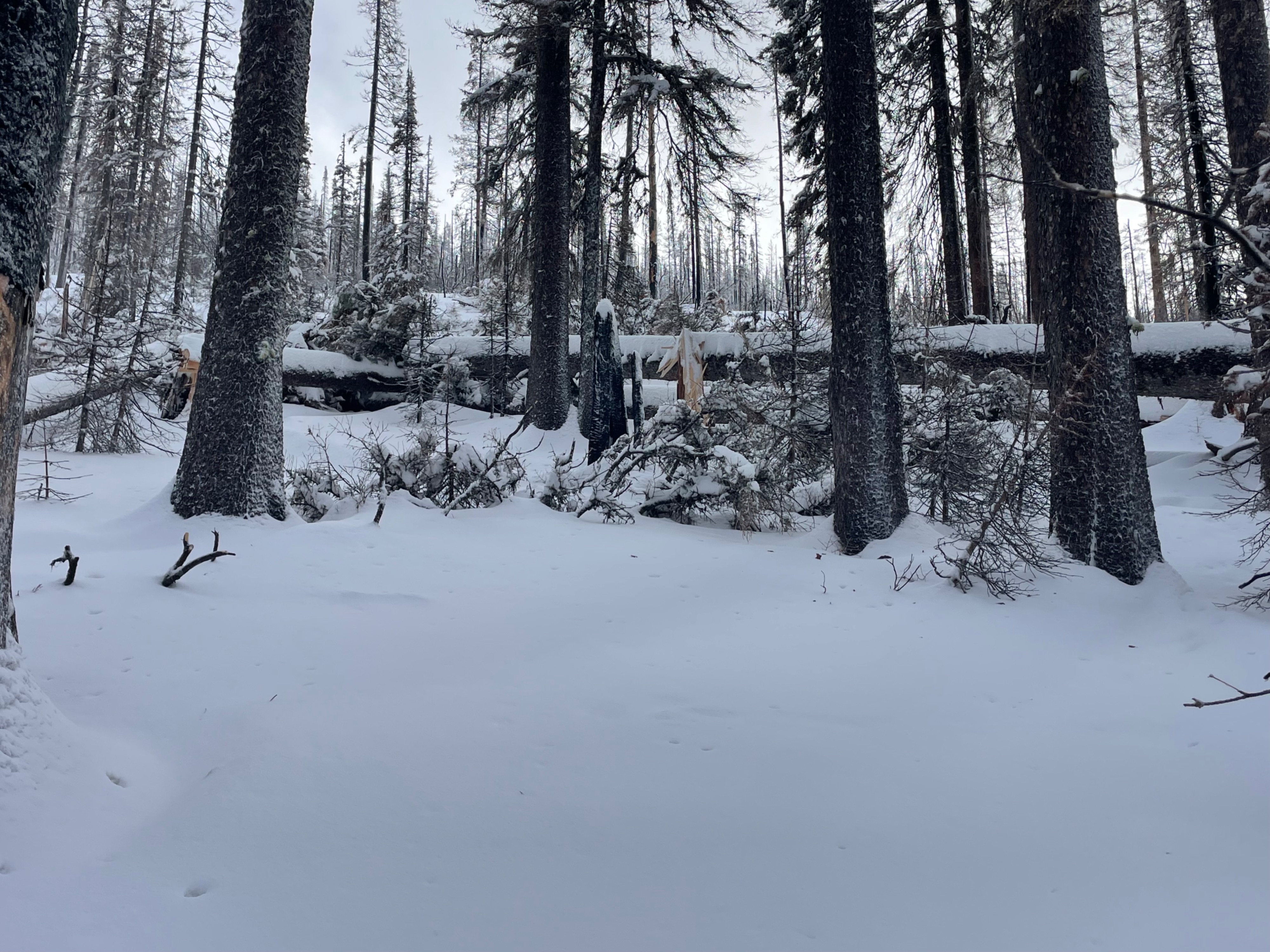
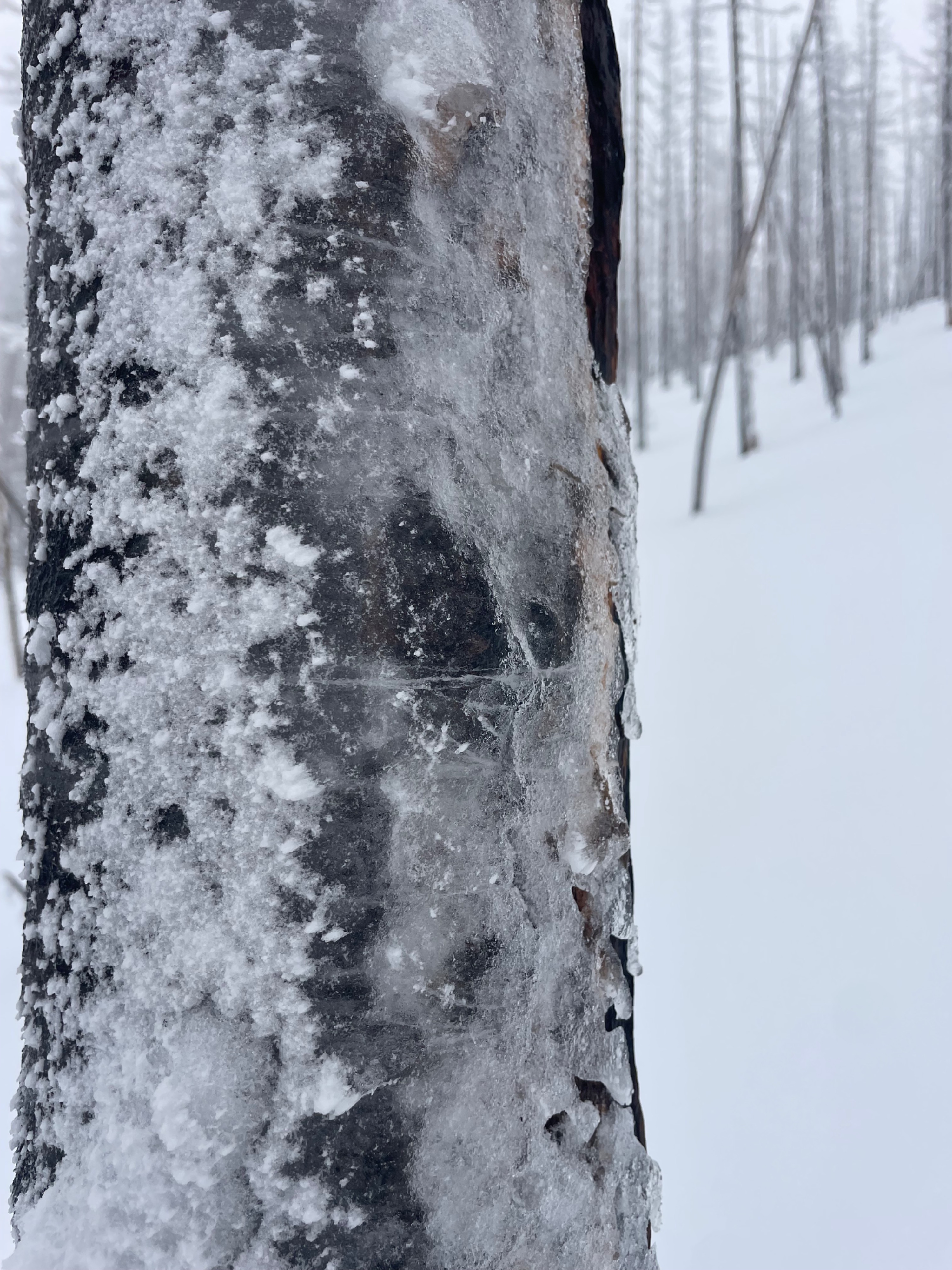
Snotel reporting 4.0 inches of SWE and 20 inches of depth in the last 4 days at 6500’. I don’t have a PhD in mathematics like my brother does, but I do understand that’s not a good ratio for snow lovers. Bottom line, it’s been warmer south of McCall than north of McCall, and temperature spikes with precipitation have left a water rich thin snowpack in the big creek area. Rain saturated snow with sap dripped yellow snow below trees and runnels at 6200’. I didn’t want to believe the forecast last night but a rain/wet snow crust existed as high as 7800’ here. I wish our mountains were just 1000’ higher. But as I was once told, “You can wish in one hand and 💩 in the other and see which one fills up first” so, my best solution was to practice partially supportive crust skiing with my 128cm underfoot skis and tell myself, “I’m out skiing and that’s better than many other things, so quit your complaining” I dug a pit at 7500’ on a north aspect and found a paltry 55 cms of snow. It was depressing to look at and it had 35cms of new snow since 12/18 with a rain crust complex on top of the hard early December rain crust. It was capped with a 3cm thick rain crust (sensing a pattern here?) from solstice Sunday night. At least it is a supportive snowpack and not a weak facet factory I told myself… silver lining maybe? Many trees down (sounding familiar?) from Wednesdays wind storm. Thin coverage, plenty of snow snakes trying to catch your edges, and a funky crust that gave way to sticky snow at lower elevations made skiing challenging. Fortunately the weather was nicer today than yesterday’s PNW vibe.