
Quick report
Entered Tuckerman Ravine to look at the snowpack after yesterday’s warm temperatures and 0.53 inches of rain and observe if today’s precipitation was rain or snow at the ravine level. Observed wet snow that was melting and effectively bonding with the surface snow.
Weather
- Air Temp
- 31
- Cloud Cover
- overcast
- Wind Loading
- none
- Recent Snowfall
- S-1
- Snow Avail For Transport
- none
Entering the terrain observed overcast skies, falling snow, and moderate westerly winds. Fog coverage increased during our time in the terrain and visibility became slightly obscured. Wind speeds also picked up at this time.
Snowpack
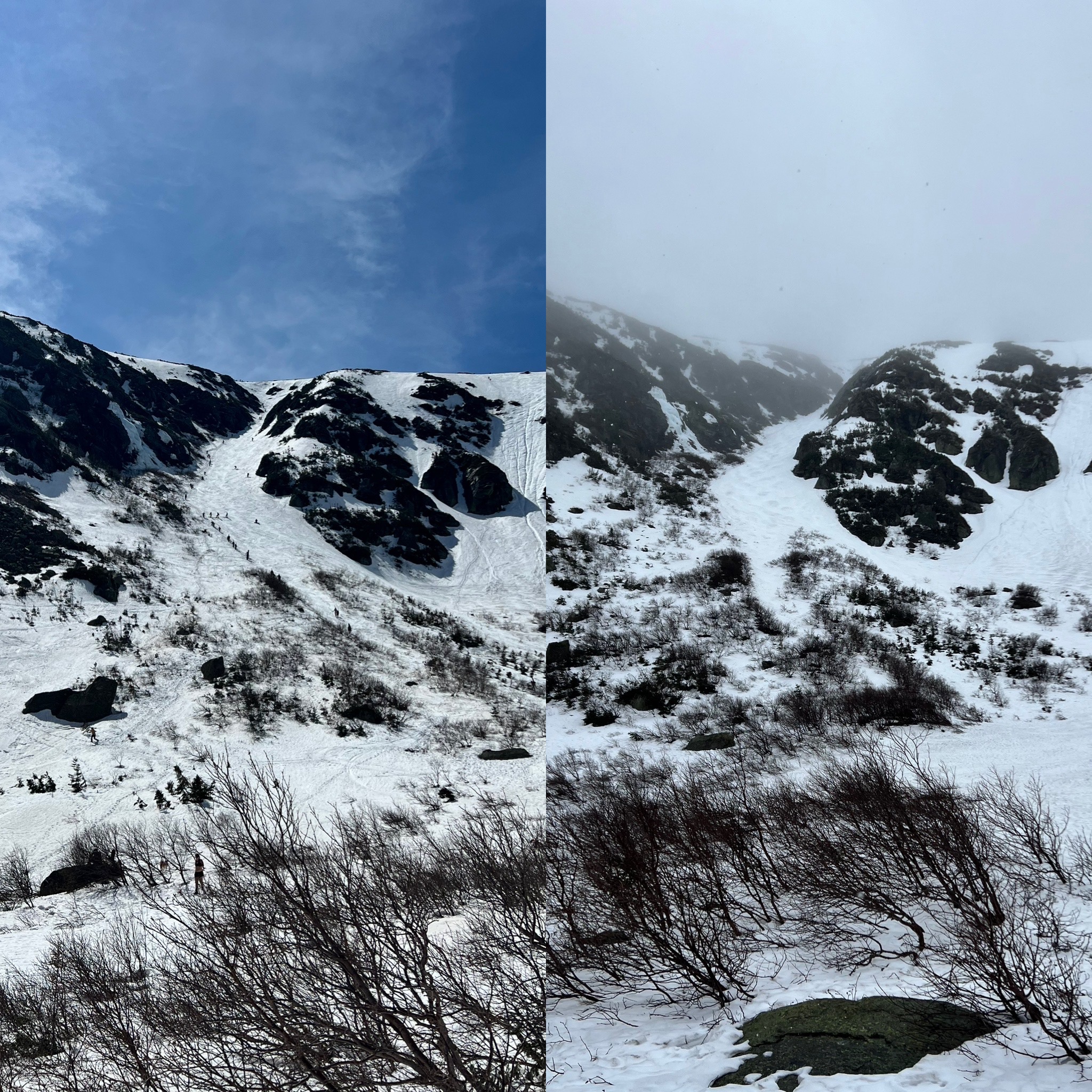
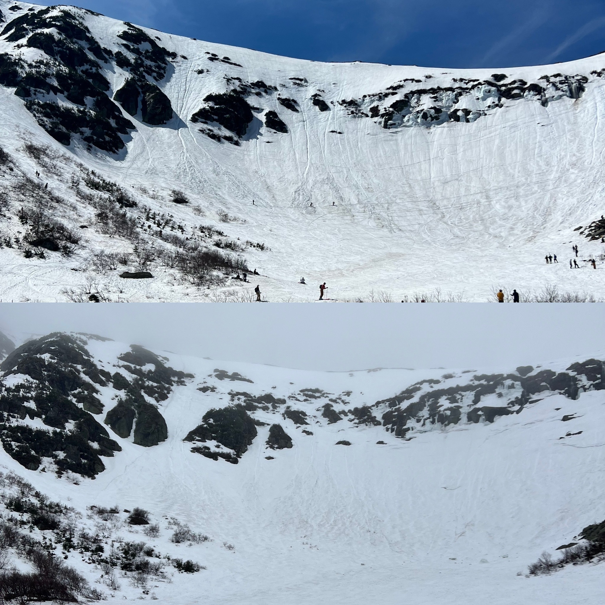
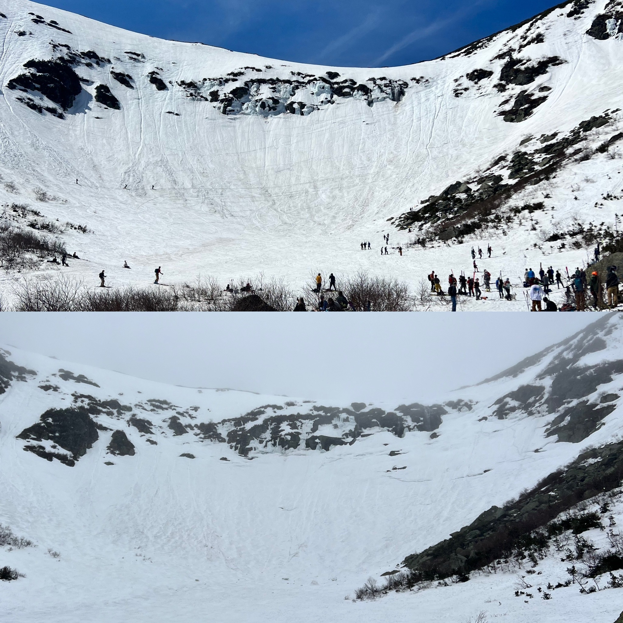
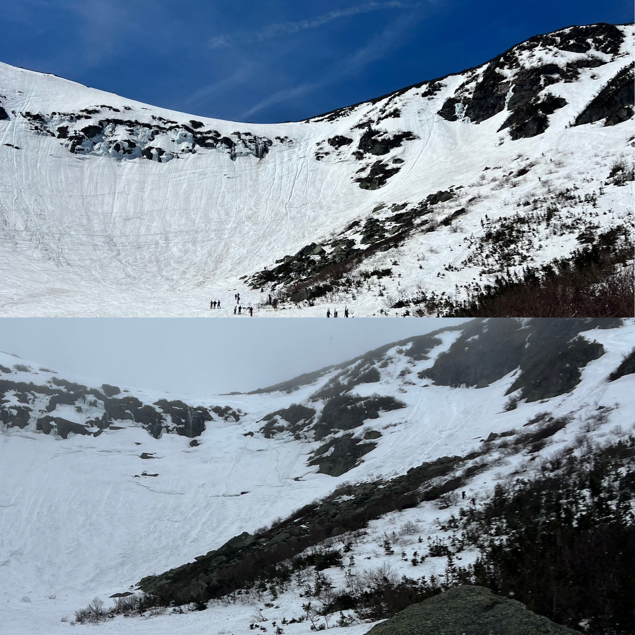
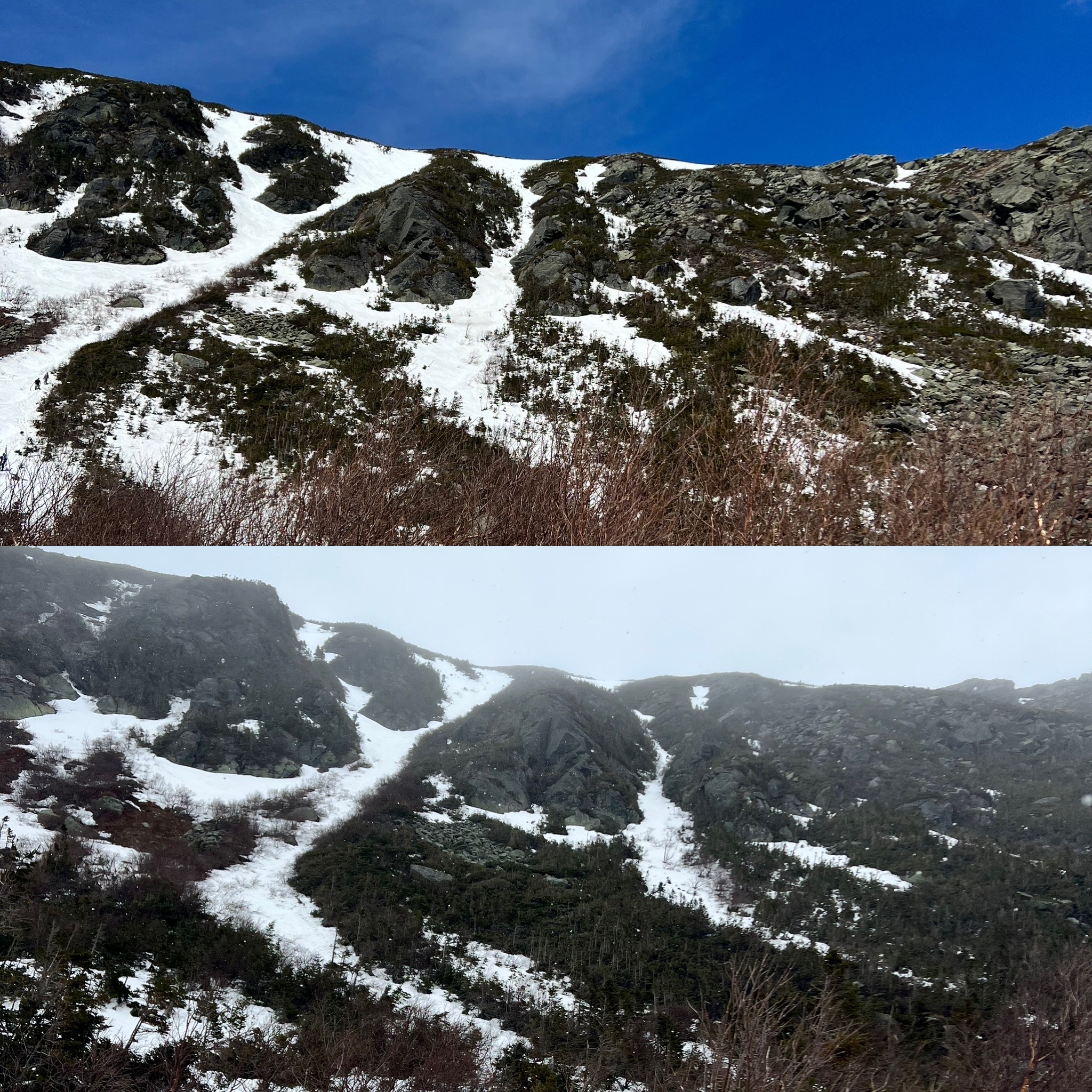
The Presidentials have been affected by significant snowpack loss. Hermit Lake reported 9 cm of melted snowpack in the last 24 hours and 44 cm in the last 7 days. Observed significant snowpack melt in the ravine as seen below in photos.
Be mindful of springtime mountain hazards as the warm temperatures and rain have accelerated their development. More pronounced glide cracks were observed in The Lip, more rocks were visible, and multiple large pieces of ice were seen laying on the ravine floor.
The new snow that began to fall ~1130 was observed to be heavy and wet. It was effectively sticking to the old surface snow and was melting on rocks. Wind speeds began picking up ~1245 and the higher winds were still not enough to begin transporting the new snow. Did not observe any loading in the ravine. Greatest observed concerns this afternoon were a lack of visibility and the potential for wet, sticky snow to cover and hide springtime hazards. The Lip was observed to have the highest concentration of potential hazards with open waterholes and glide cracks that have grown in size with warming and rain.