
Quick report
- Cracking
- isolated
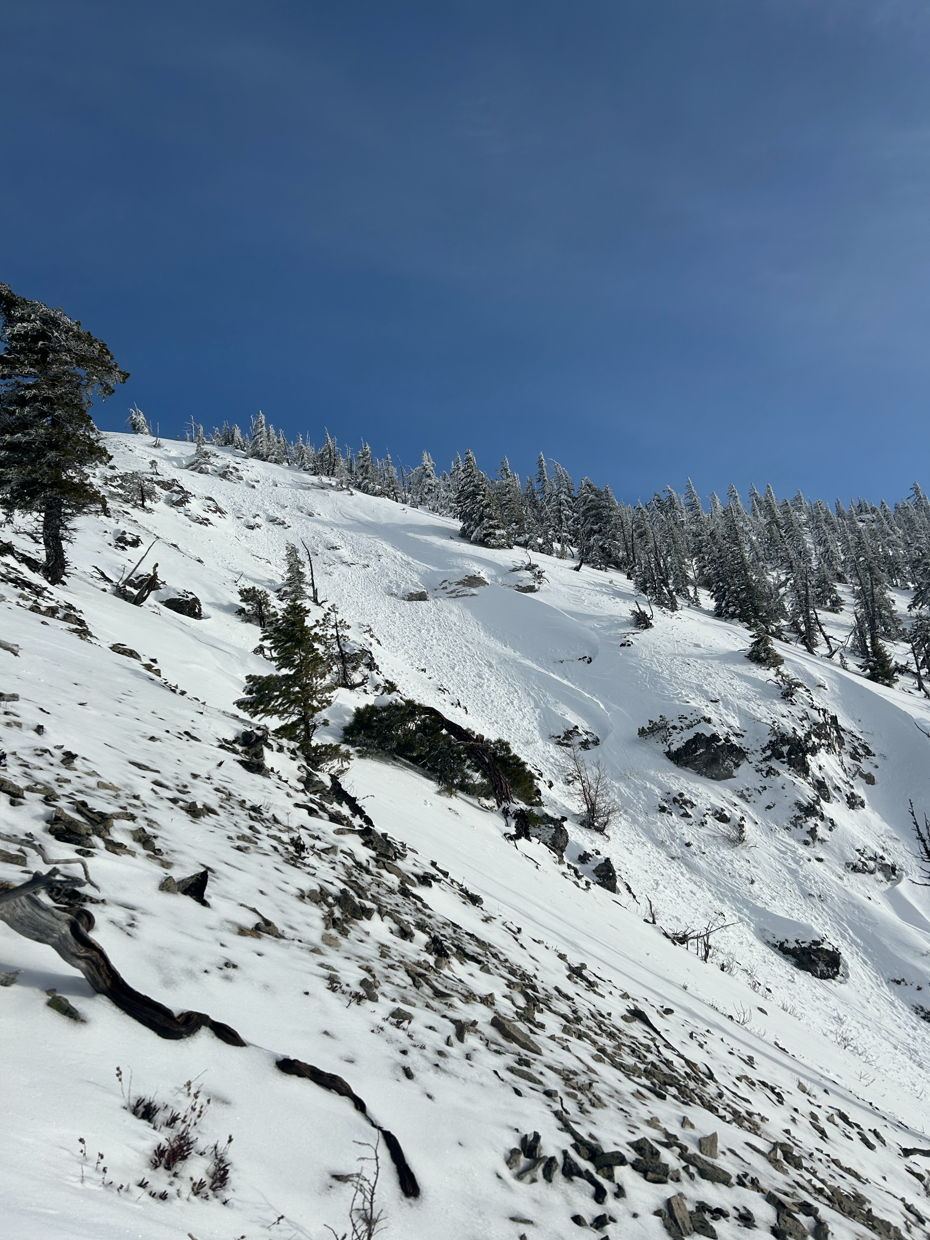
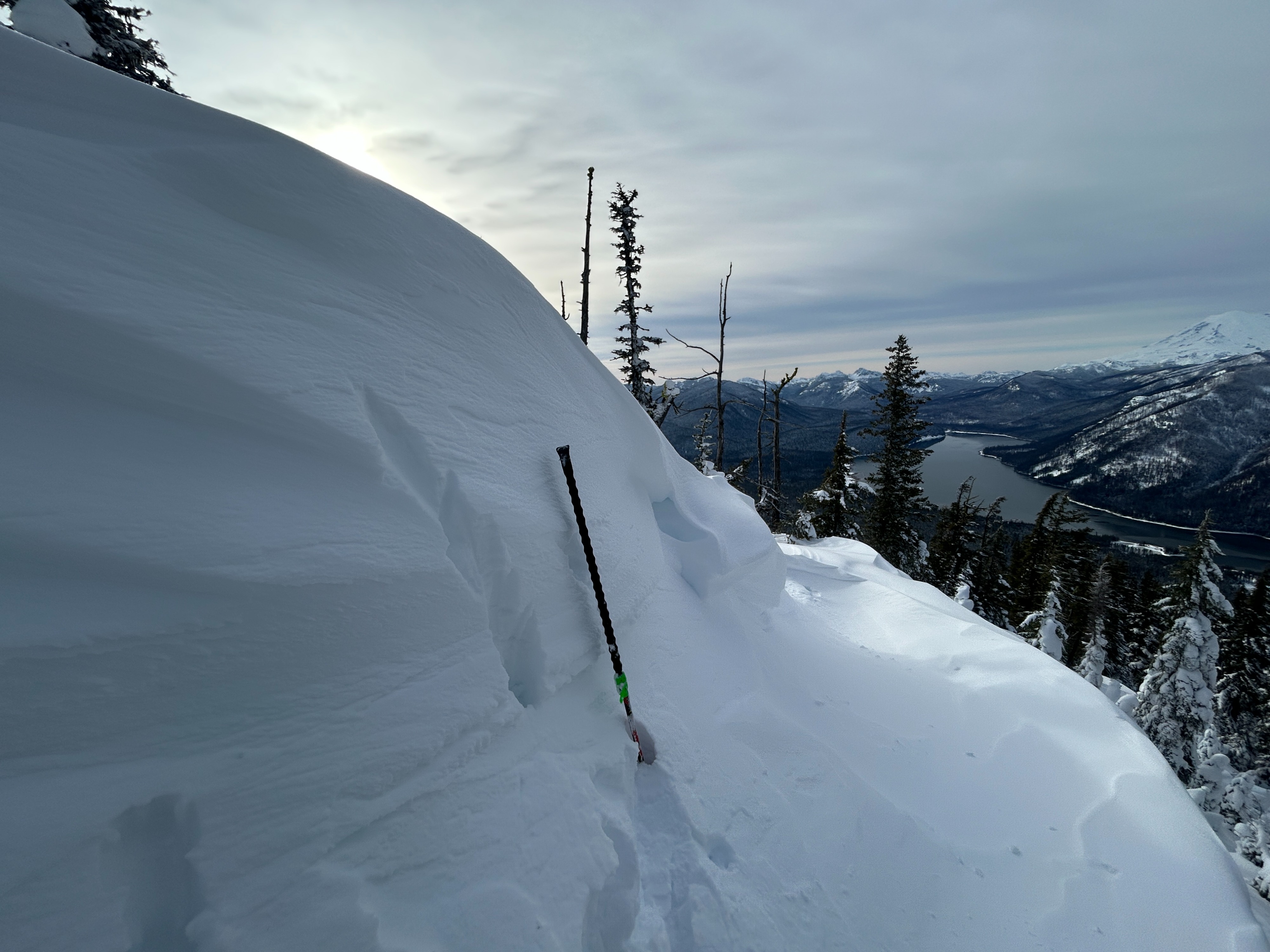
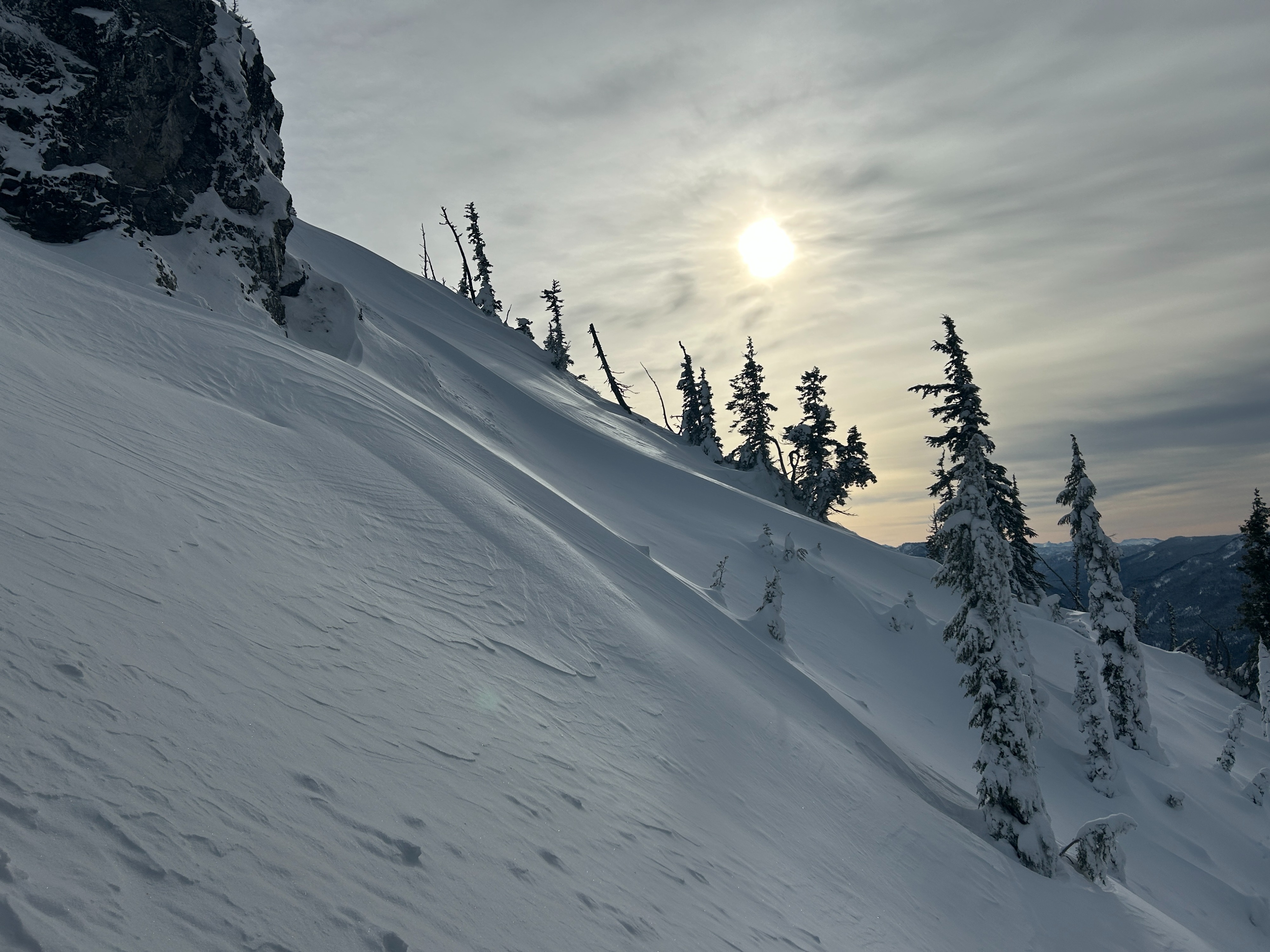
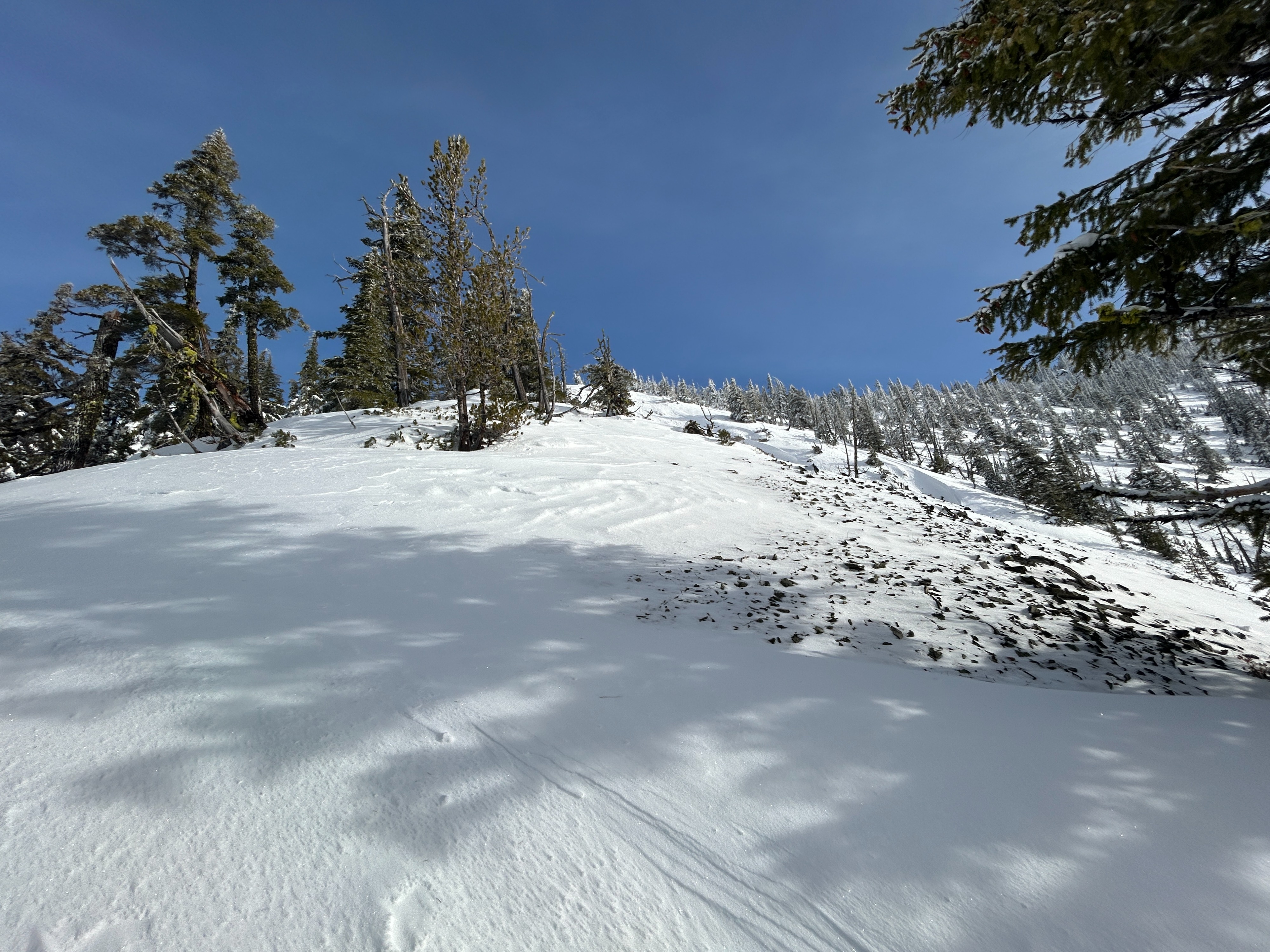
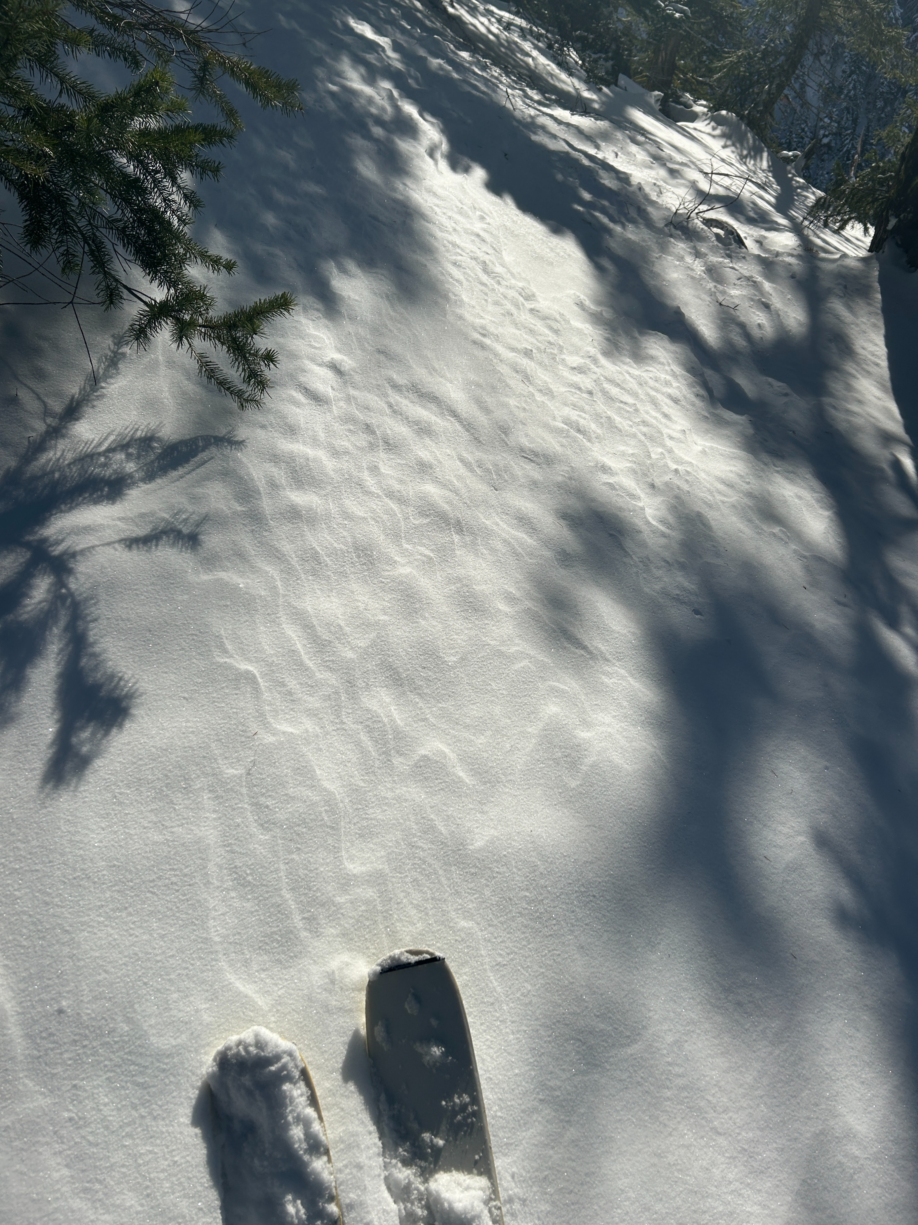
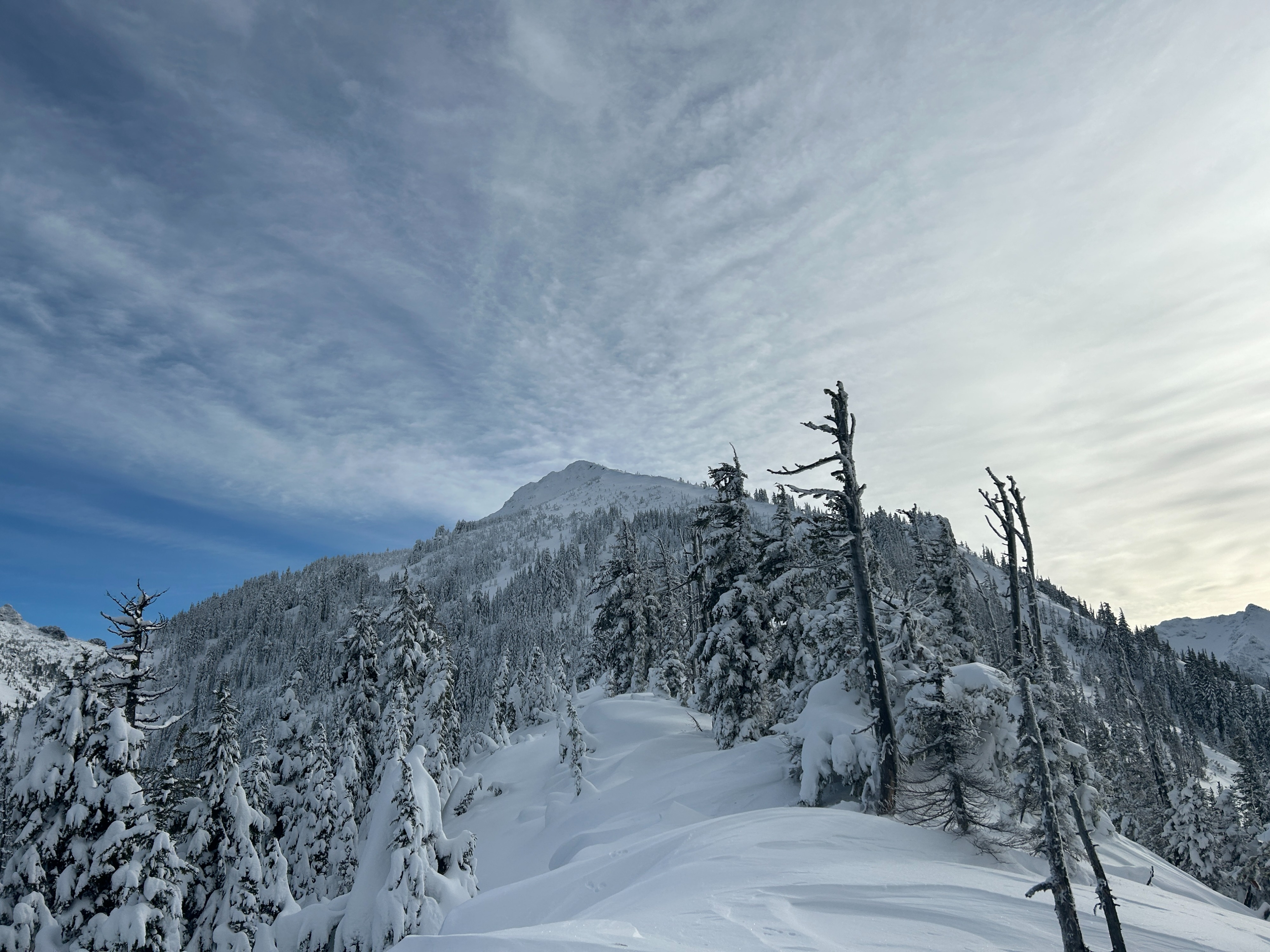
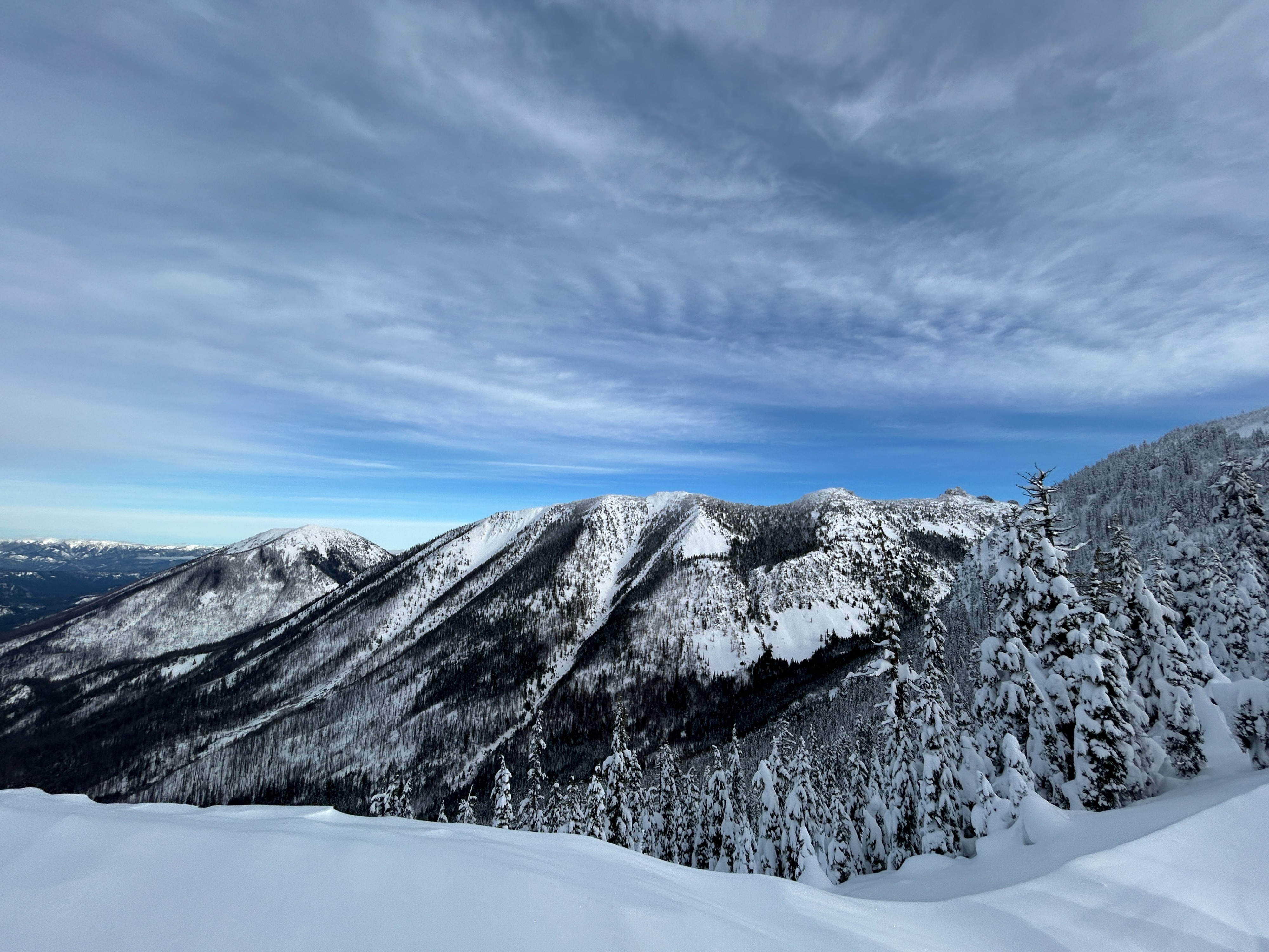
With shallow coverage at lower elevations still, navigating the thick canopy proved difficult and slow. Once we were able to reach middle elevations, we were treated with much more pleasant skinning and skiing conditions, although the snowpack is still not particularly deep. We observed signs of warming in the morning until clouds rolled in. We also observed signs of extensive wind effect from a few days ago, but did not see much lingering sensitivity.
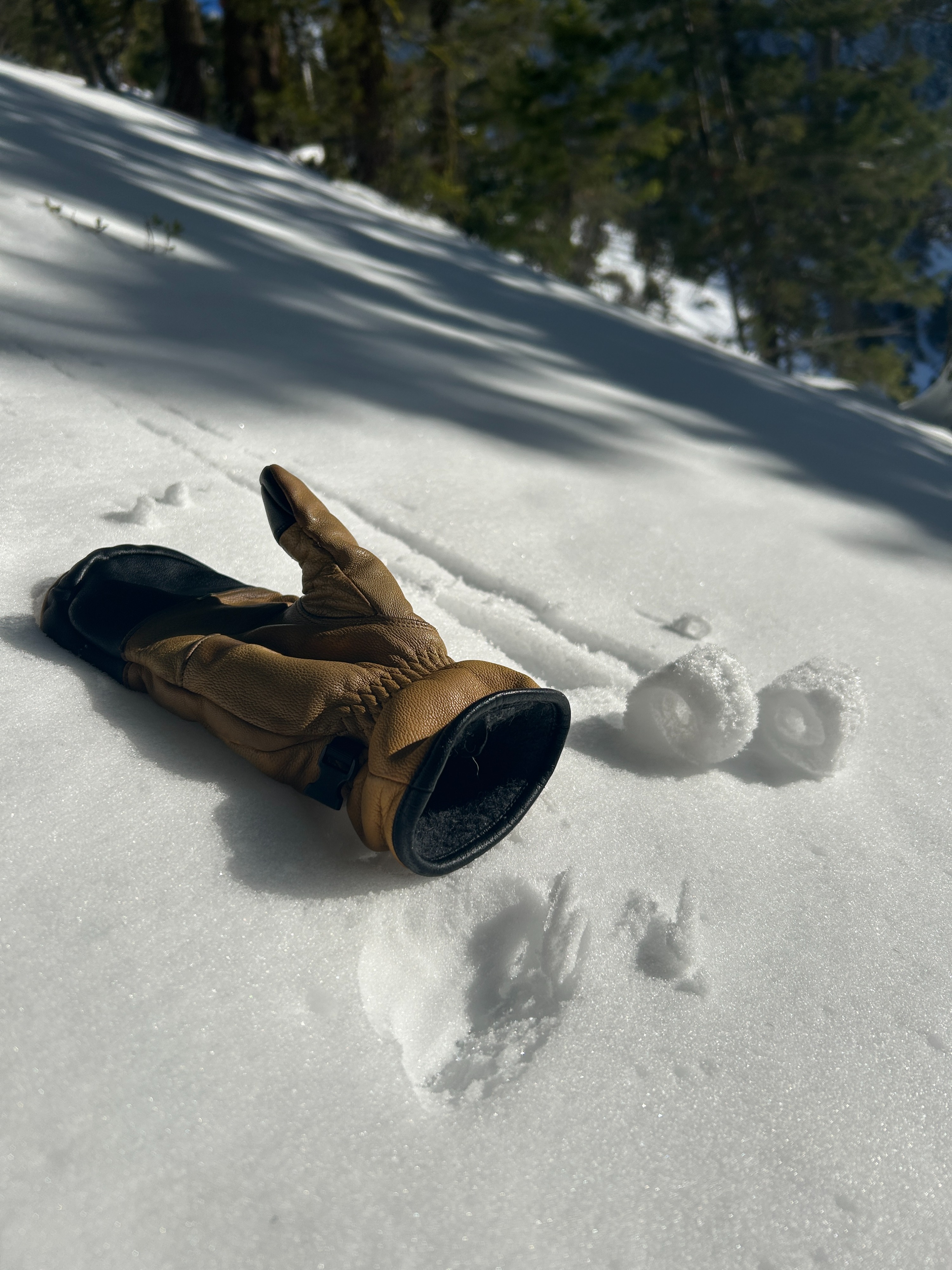
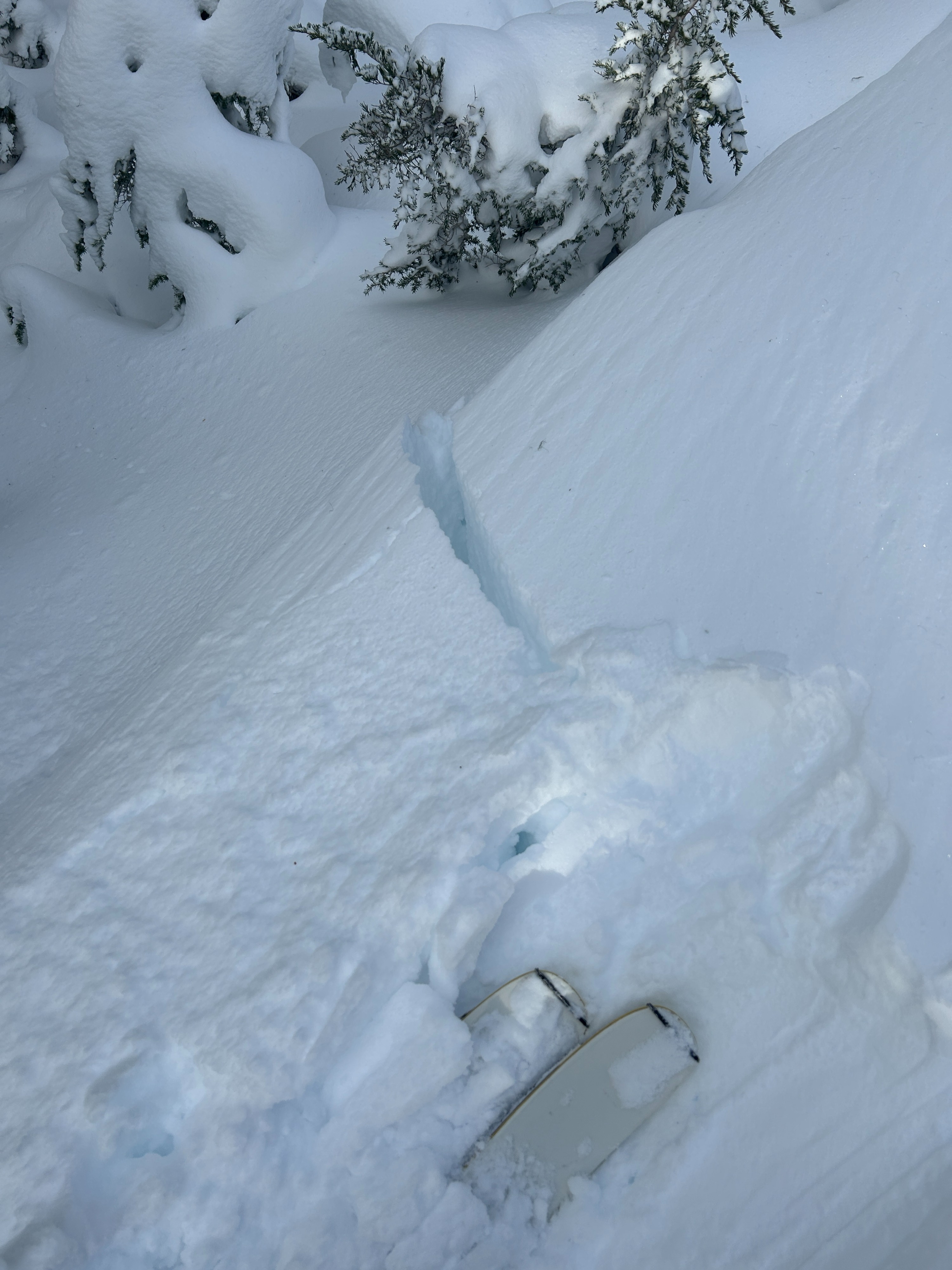
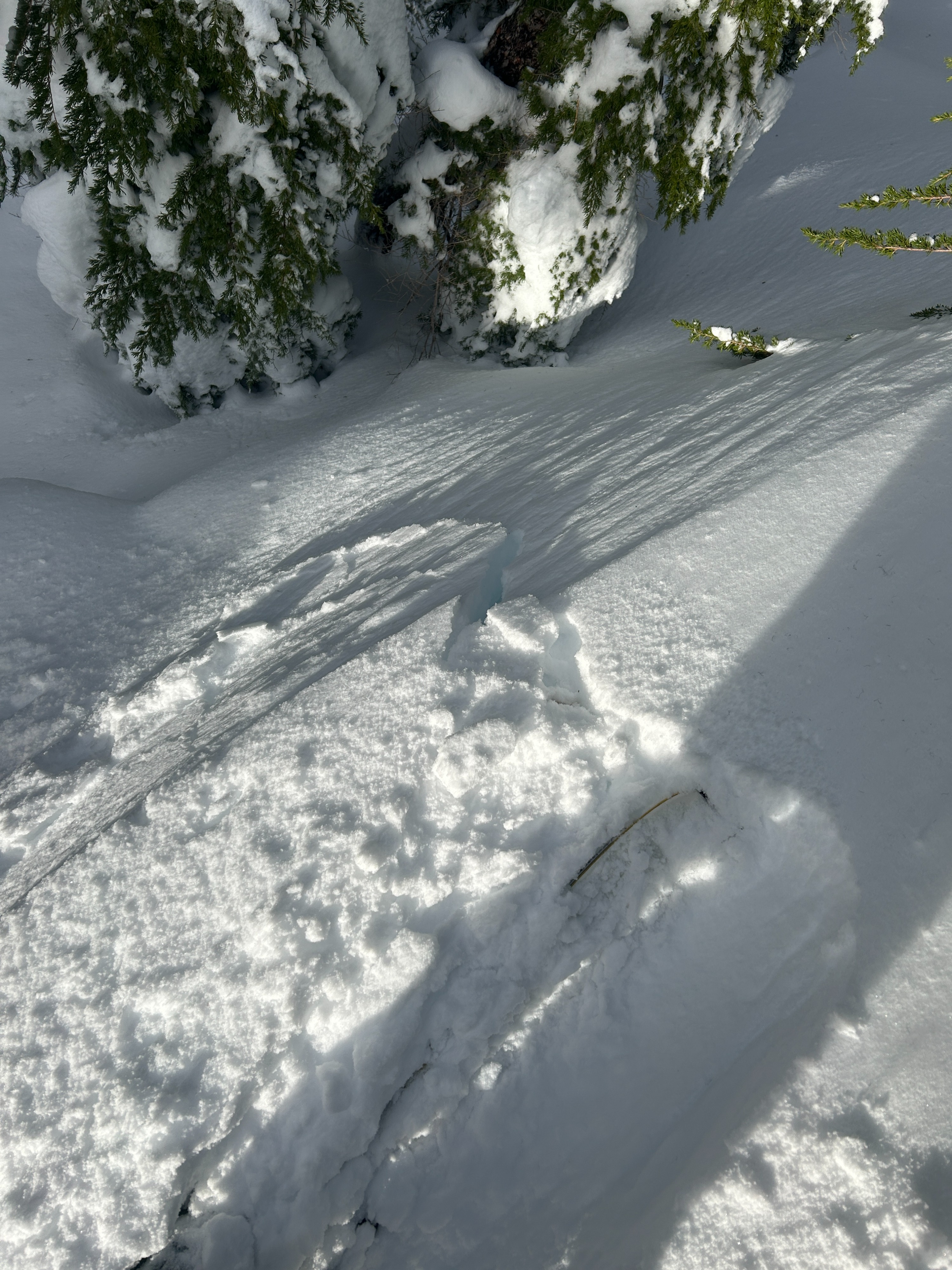
We observed stubborn cracking only in unsupported wind affected features. We observed the beginnings of roller ball action on sun exposed slopes in the morning but cloud cover moved in and stopped warming.Weather
- Air Temp
- 25
- Cloud Cover
- scattered
- Wind Loading
- previous
- Recent Snowfall
- 24
- Snow Avail For Transport
- small smounts
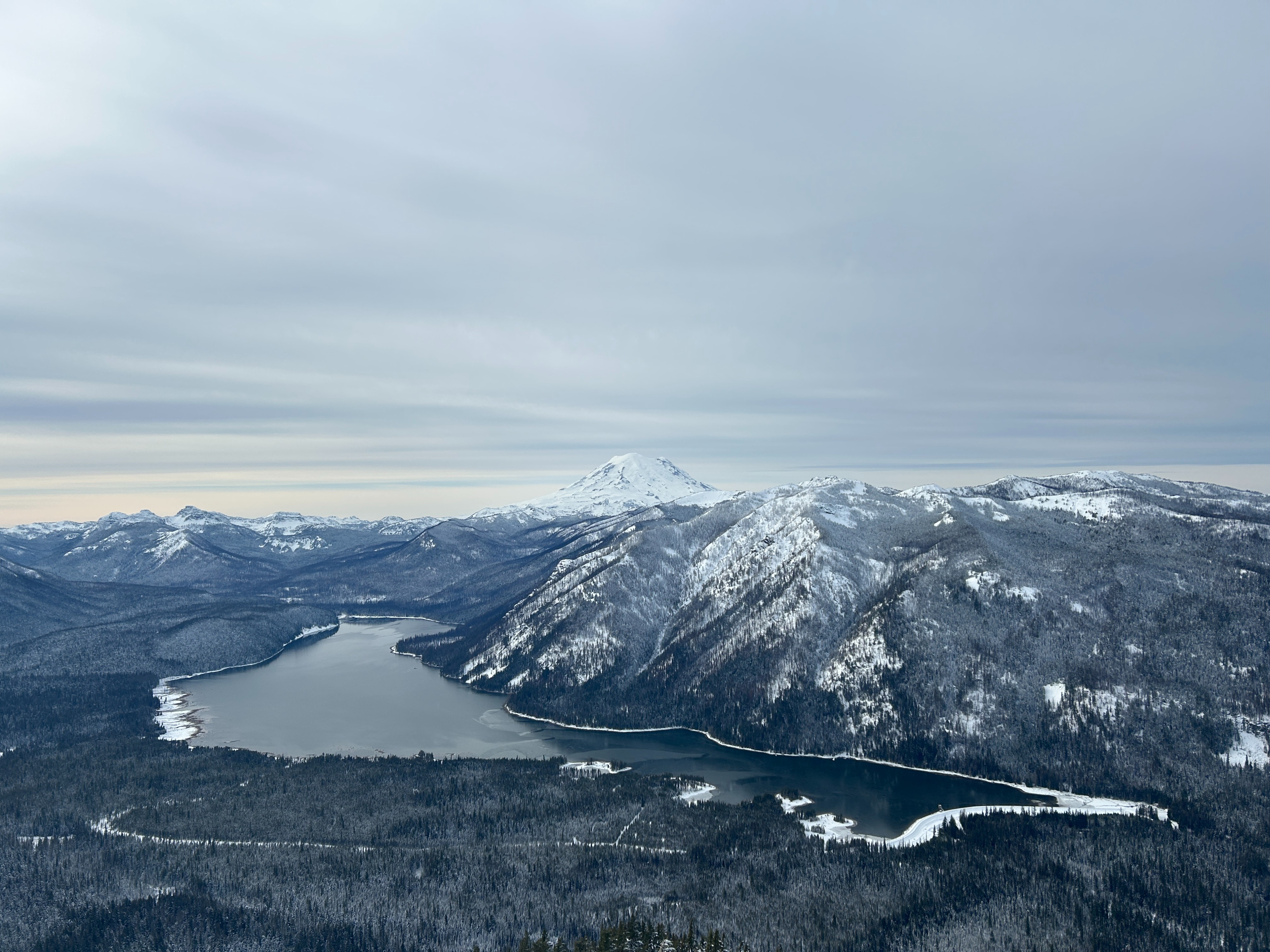
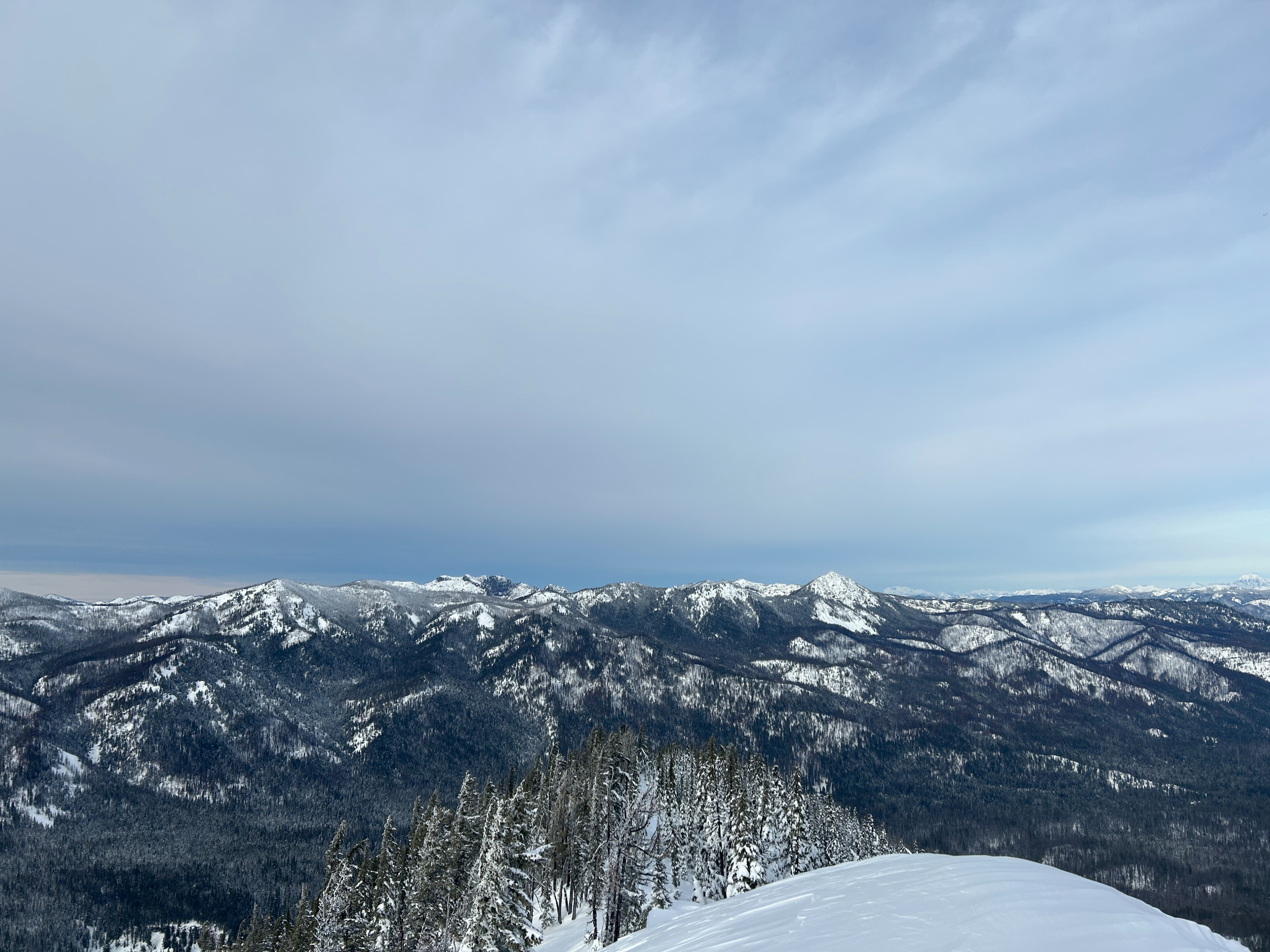
We anticipated a temperature inversion and therefore valley fog but this did not end up being the case. There were no clouds in the sky until around 12p. By 1p, the sky was mostly covered by thin high clouds. Temps stayed below freezing throughout the day. The wind was undetectable down in the trees and light from the north at ridgeline.
Snowpack
Lower elevations have an average of 8-16in (20-40cm) depending on aspect and tree cover. Many surfaces underneath thick canopy were very shallow, stiff, and icy. Surfaces out in the open were deeper and softer, however slopes exposed to direct sunlight quickly began getting sticky.
Average snow depths deepened noticeably around 5000 ft. We dug a pit on a north aspect at 5900 ft. The depth of this pit was 41in (104cm). We found small grains of surface hoar on the surface. We found 9in (24cm) of relatively light new snow overlaying a very thin and friable crust that most likely formed on Christmas Eve. Below this crust was another 11in (29cm) of recent snow overlaying another thicker crust likely formed from a warm up on 12/18. Below this was another slab of snow overalying a zipper crust, melt forms, and an ice layer at the ground (reminants of the atmospheric weather events). I performed a compression test and got a moderate sudden collapse a few centimeters below the Xmas crust (CT14SC down 30cm). I performed an extended column test and got a moderate non-propagating results in the same layer (ECTN13 down 30cm). From what I could tell, this interface was just a density change.