

Quick report
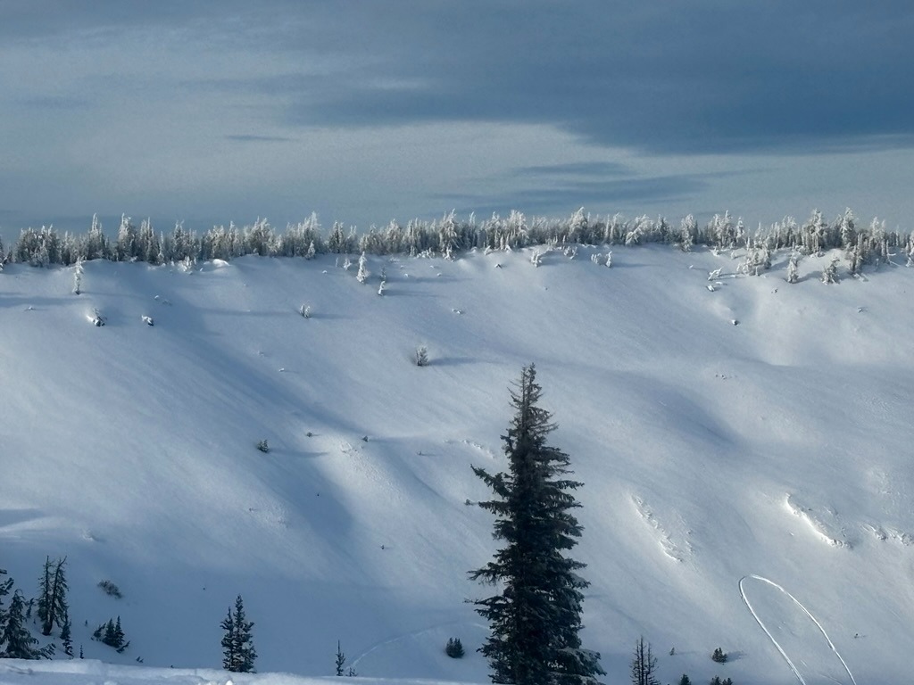
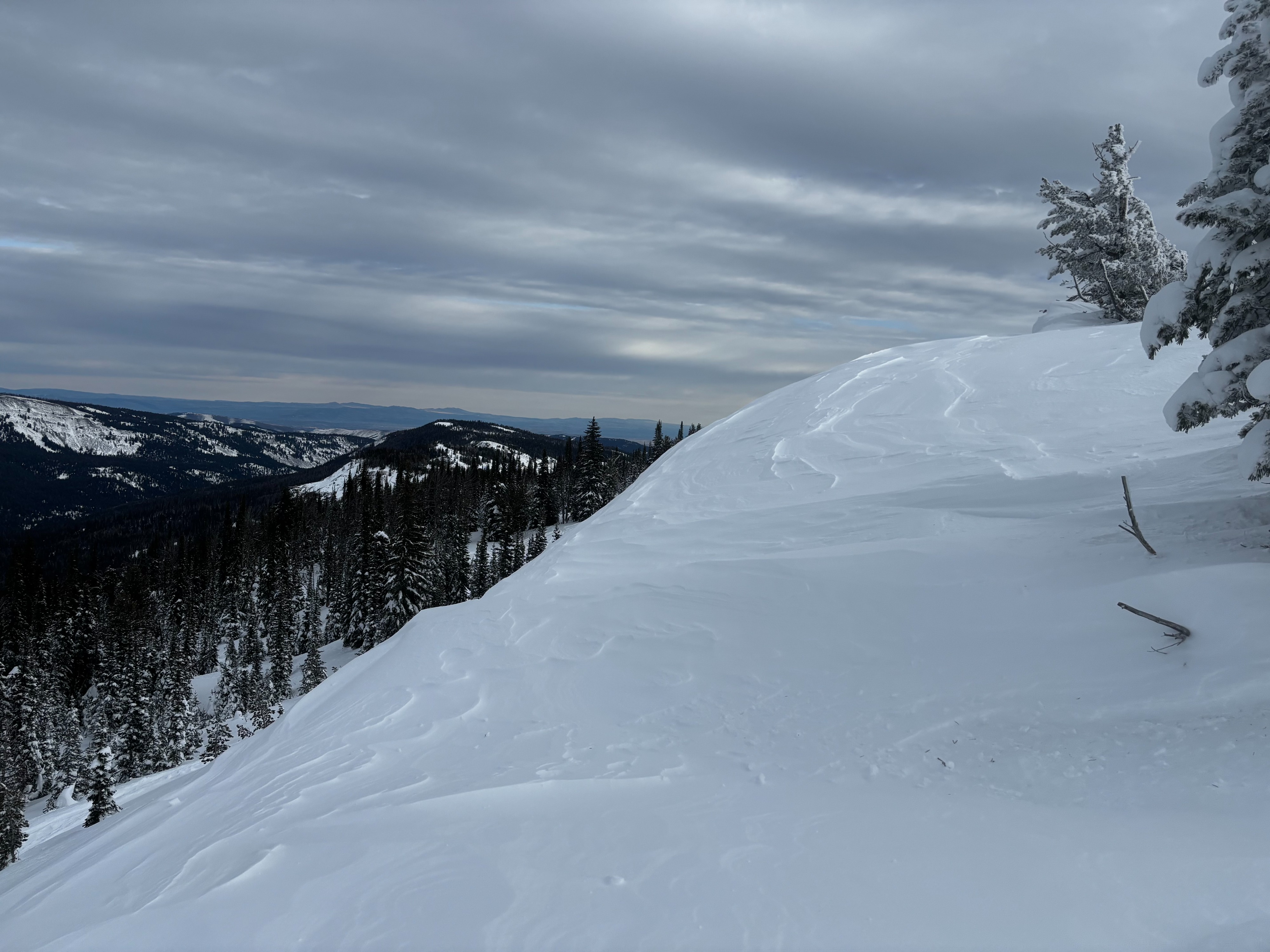
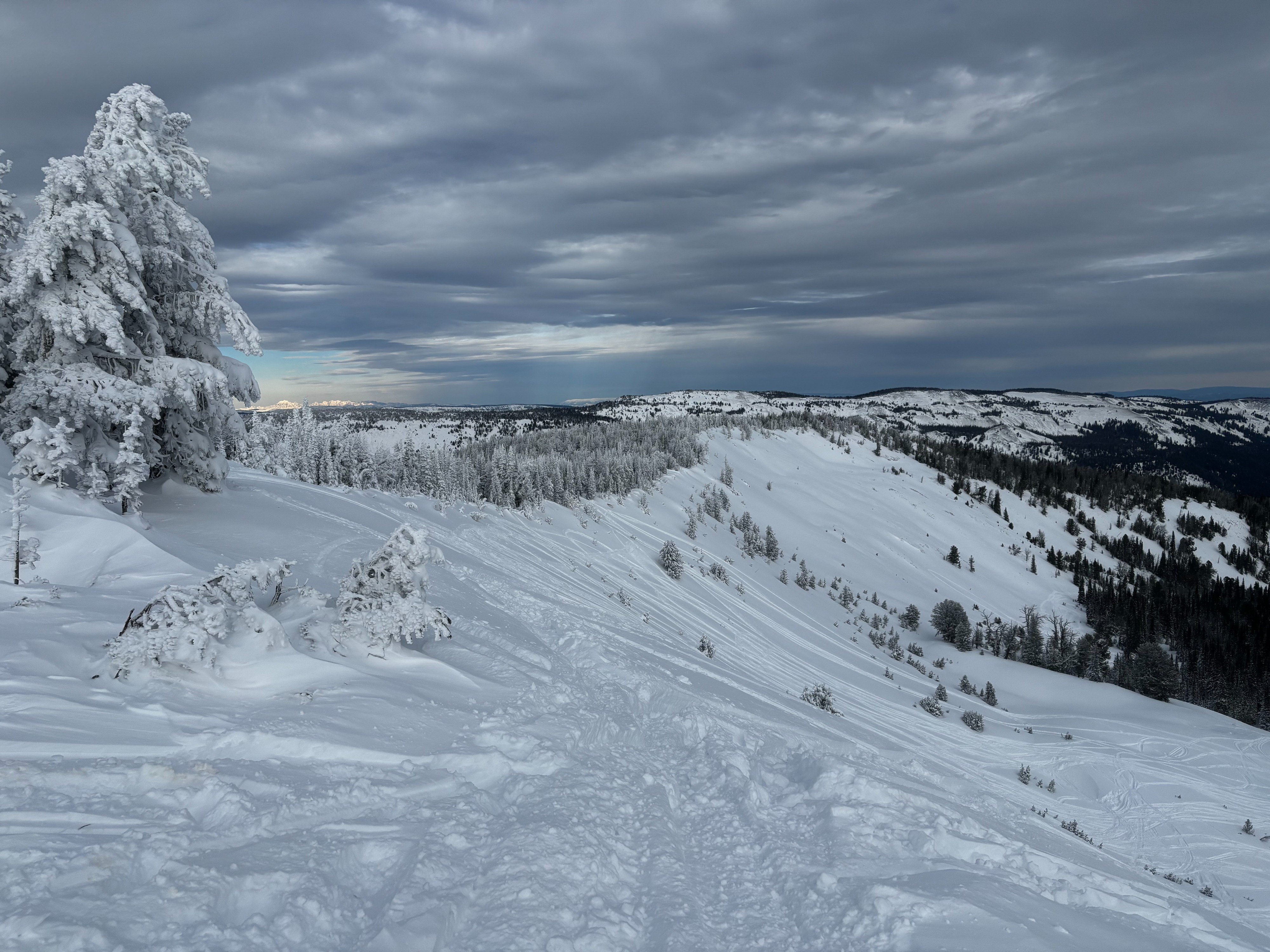
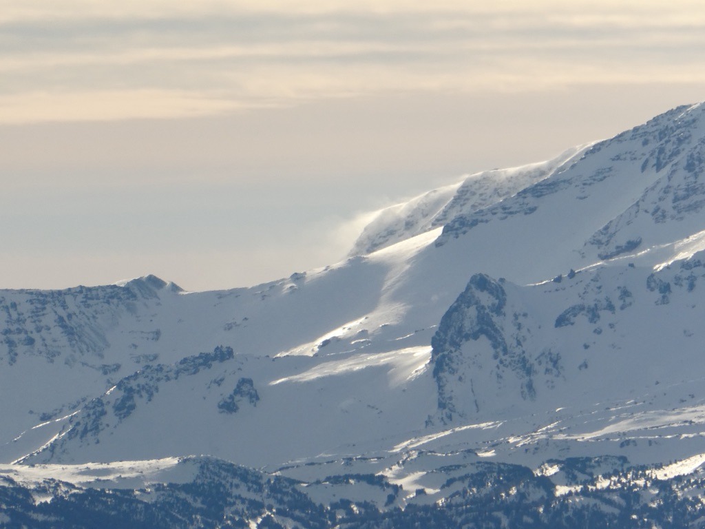
Despite recent snowfall, the Ahtanum area remains shallow, especially at lower elevations. There's a more meaningful and layered snowpack above 6000 ft. Due to a recent wind event, there are tons of wind-affected surfaces and evidence of recent wind loading. While I didn't see any avalanche activity in this area, there are a couple of layers in the upper 1-2 ft of the snowpack that produced notable test results on N-E aspects.
Weather
- Air Temp
- High 20s
- Cloud Cover
- broken
- Wind Loading
- light
- Recent Snowfall
- 50 cm
- Snow Avail For Transport
- moderate amounts
Broken skies and light to moderate W winds limited warming across middle and upper elevations. Snow surfaces stayed mostly dry, even on solars above 5500 ft.
Snowpack
The snow surface is heavily wind-affected following the wind event on 1/8. Wind slabs generally appeared stiff and stubborn along Darland Ridge.
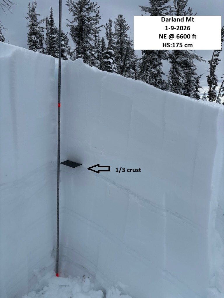
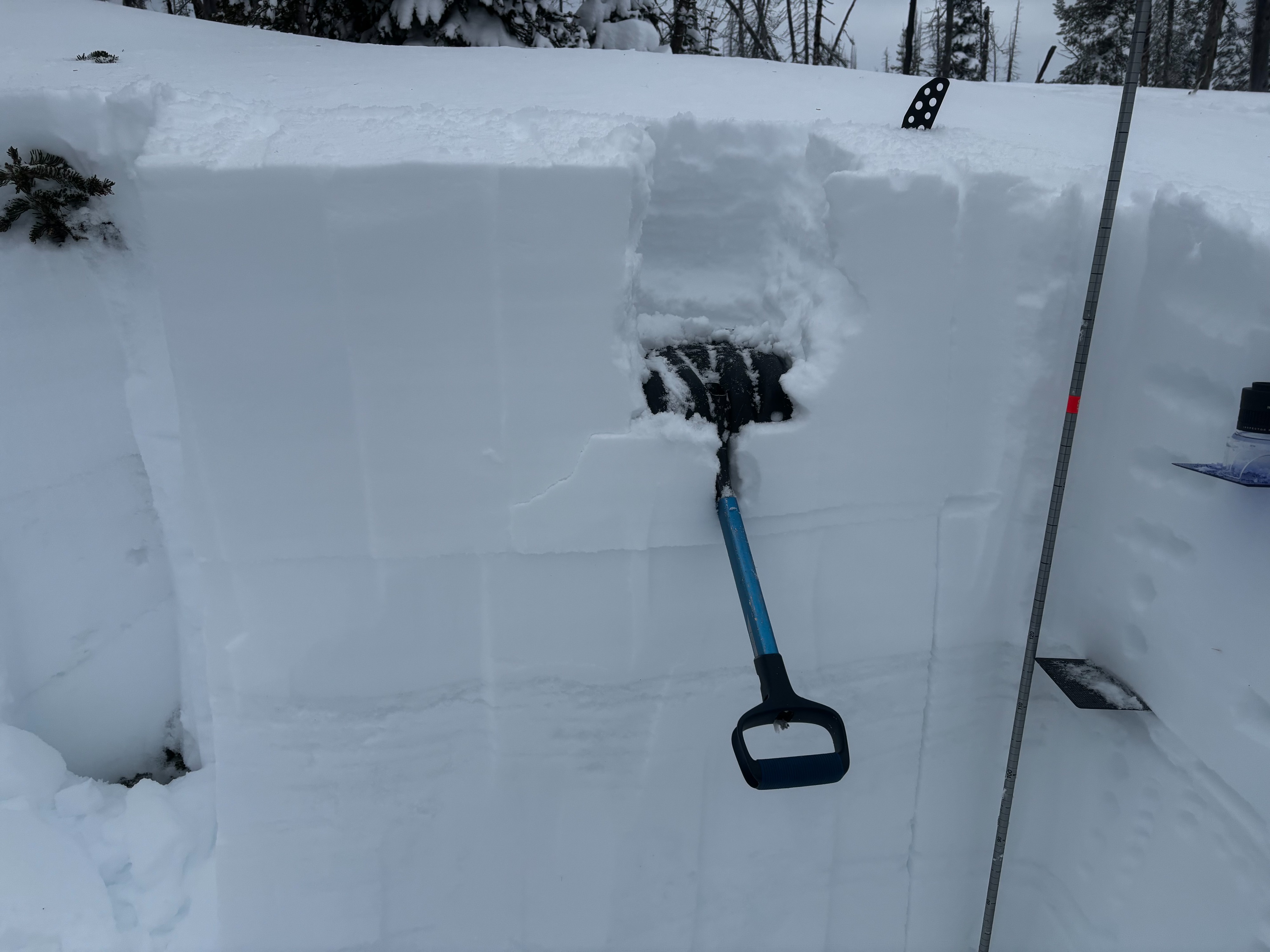
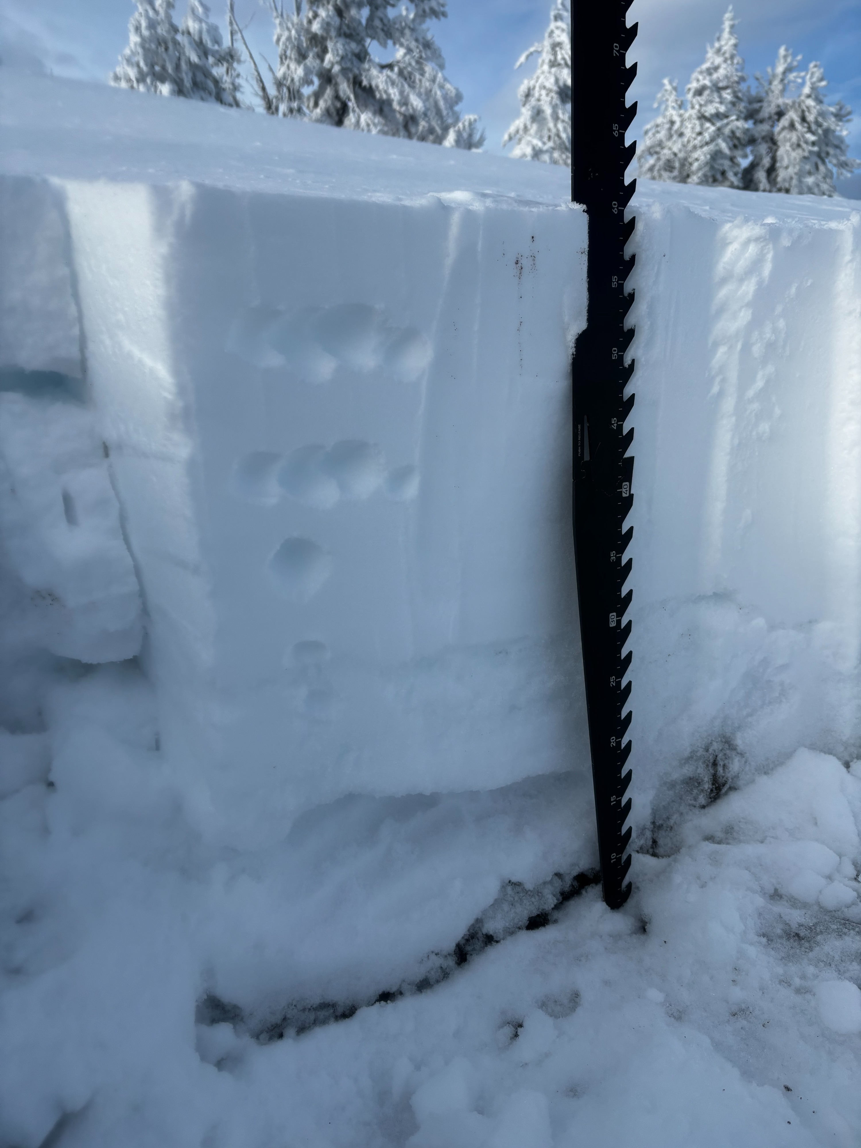
Below the surface, I found about 40-55 cm of recent snow resting over a crust that was buried on Jan 3rd. In general, I found the most notable signs of instability just above this crust on a layer of 2-3 mm, rounding buried surface hoar on a NE aspect @ 6600 ft. Snowpack tests produced results on this layer (CT21 SP, 45 cm down/ ECTN 23, 45 cm down). While I found this layer on a NE aspect, I didn't see it on the W aspects just over the ridge. Below this layer, snowpack tests yielded unremarkable results, but several crusts from Christmas time are present.
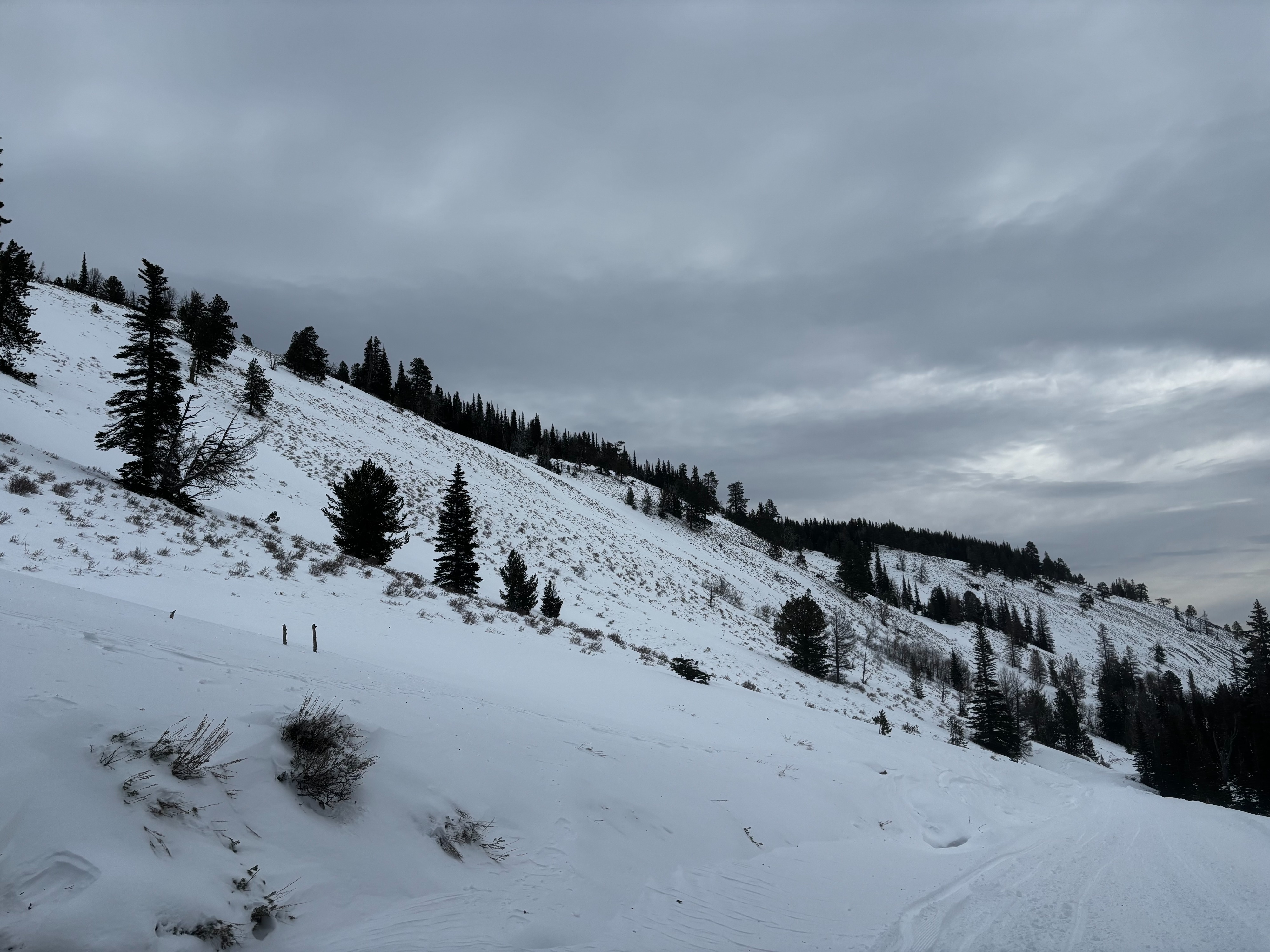
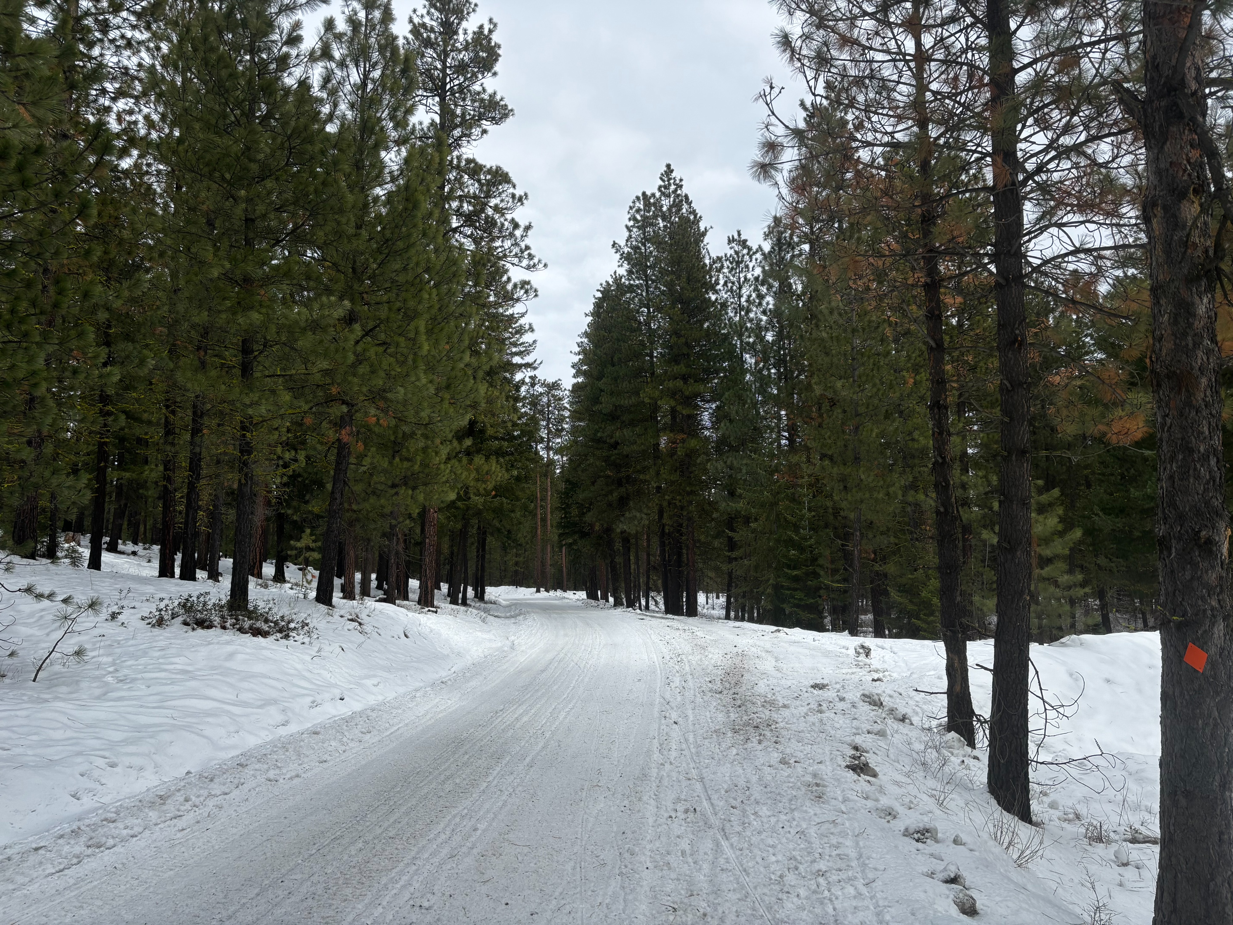
Snowpack varies widely across the zone, generally increasing with elevation. Lower elevations hold just 1–2 ft of snow. Above 6300 ft, north and east aspects have a more robust 100–175 cm, while west aspects at similar elevations are much shallower at 60–90 cm. South aspects have very little snow.