
Quick report
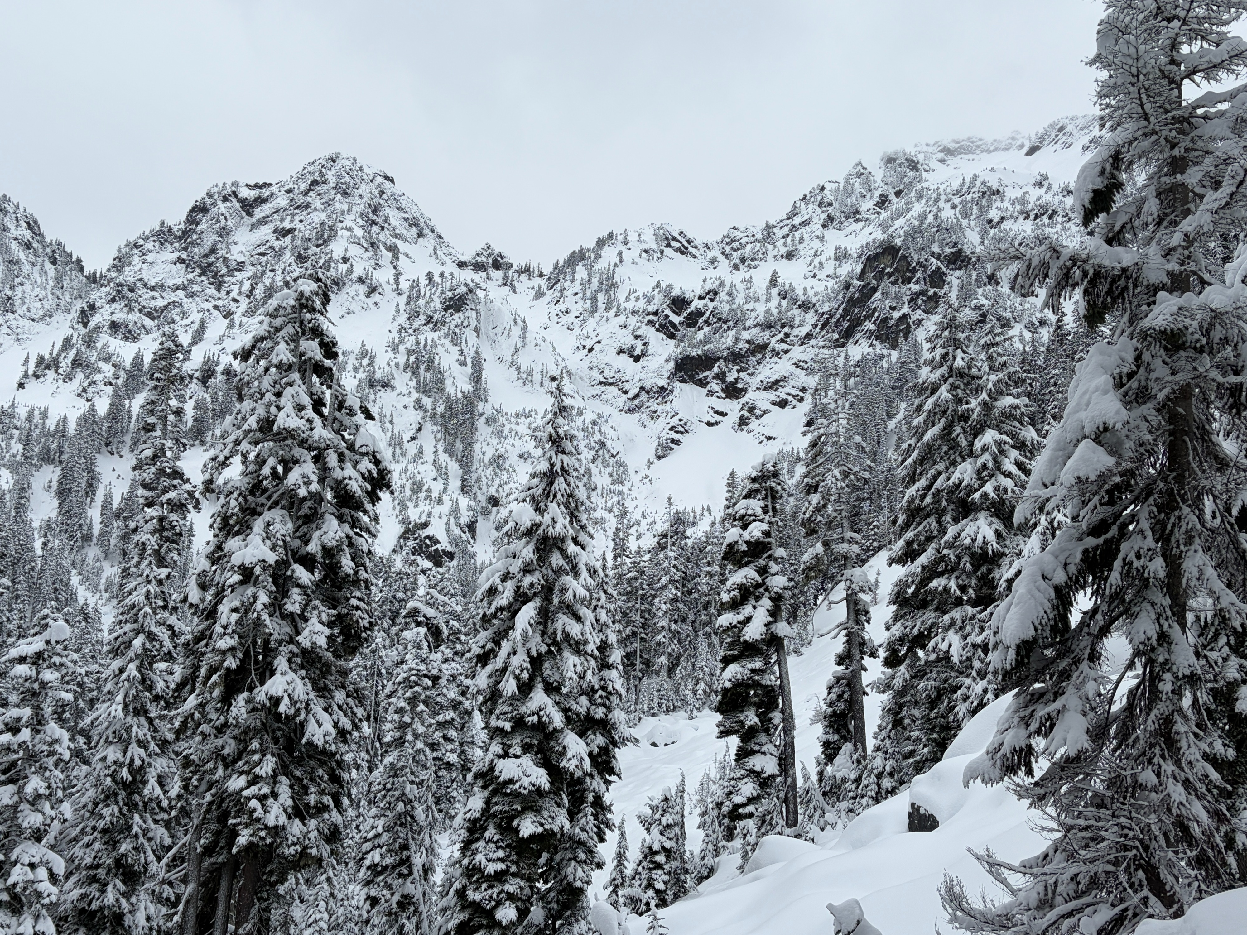
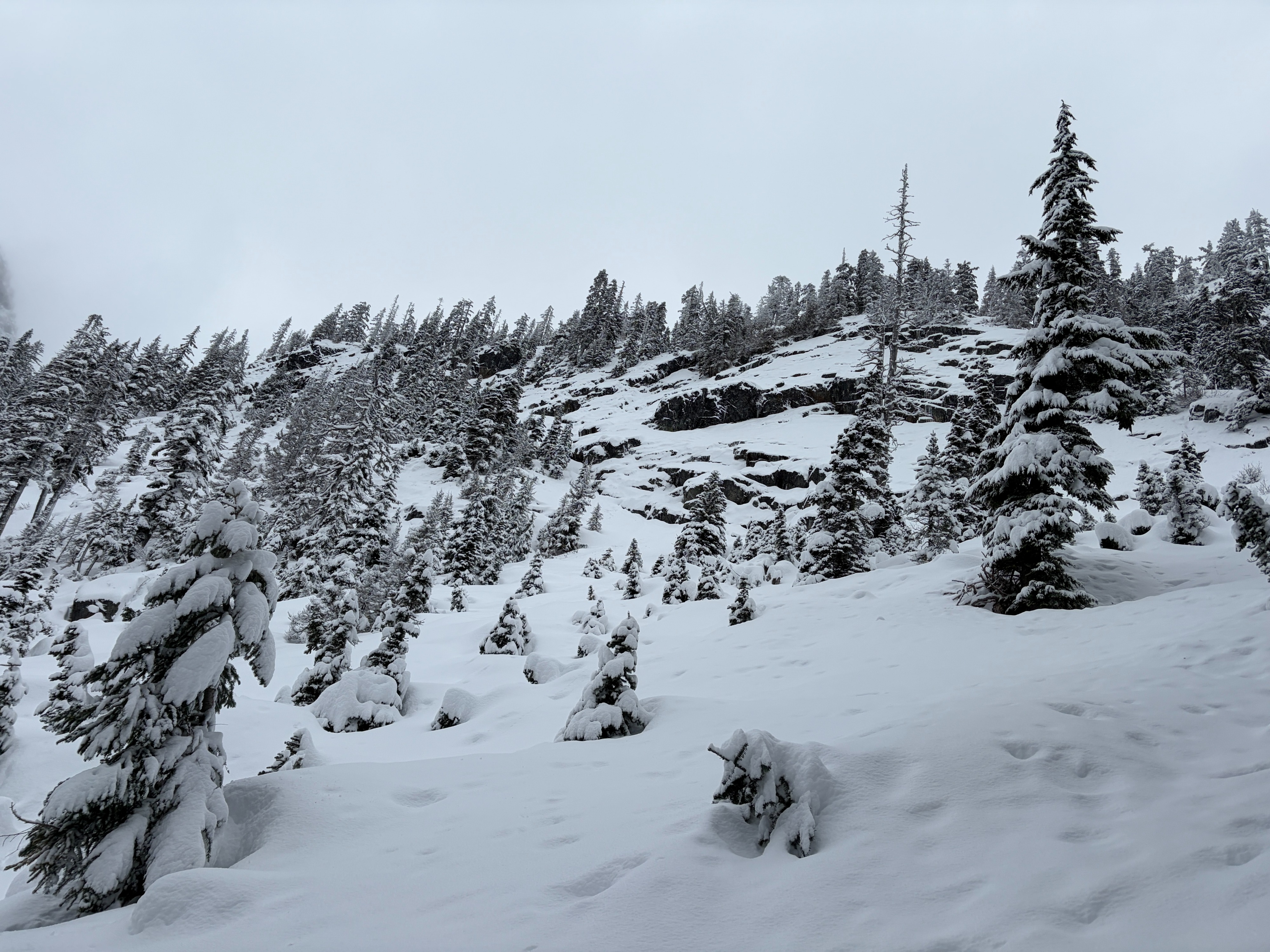
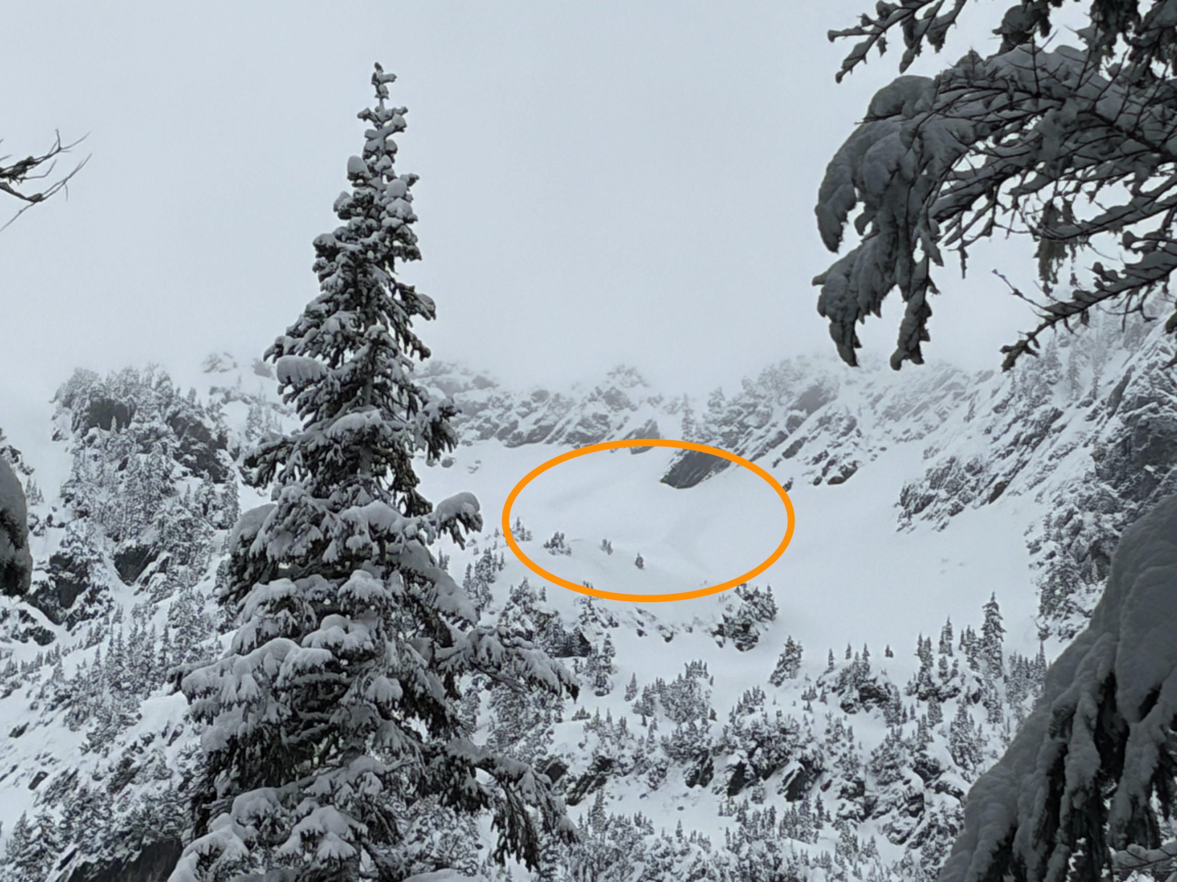
I went into the Alpental Valley to get a view of the steeper terrain and assess for any avalanche activity from the new snow. It was noticeably warm this morning, with the trailhead at or slightly above freezing. The new snow is dense and heavy compared to the snow of this past week. That being said, it was quite challenging to find the exact interface between the new and older snow, likely because snowfall has been trickling for multiple days. Two distant avalanches were spotted at upper elevations, but besides those, no others were seen.
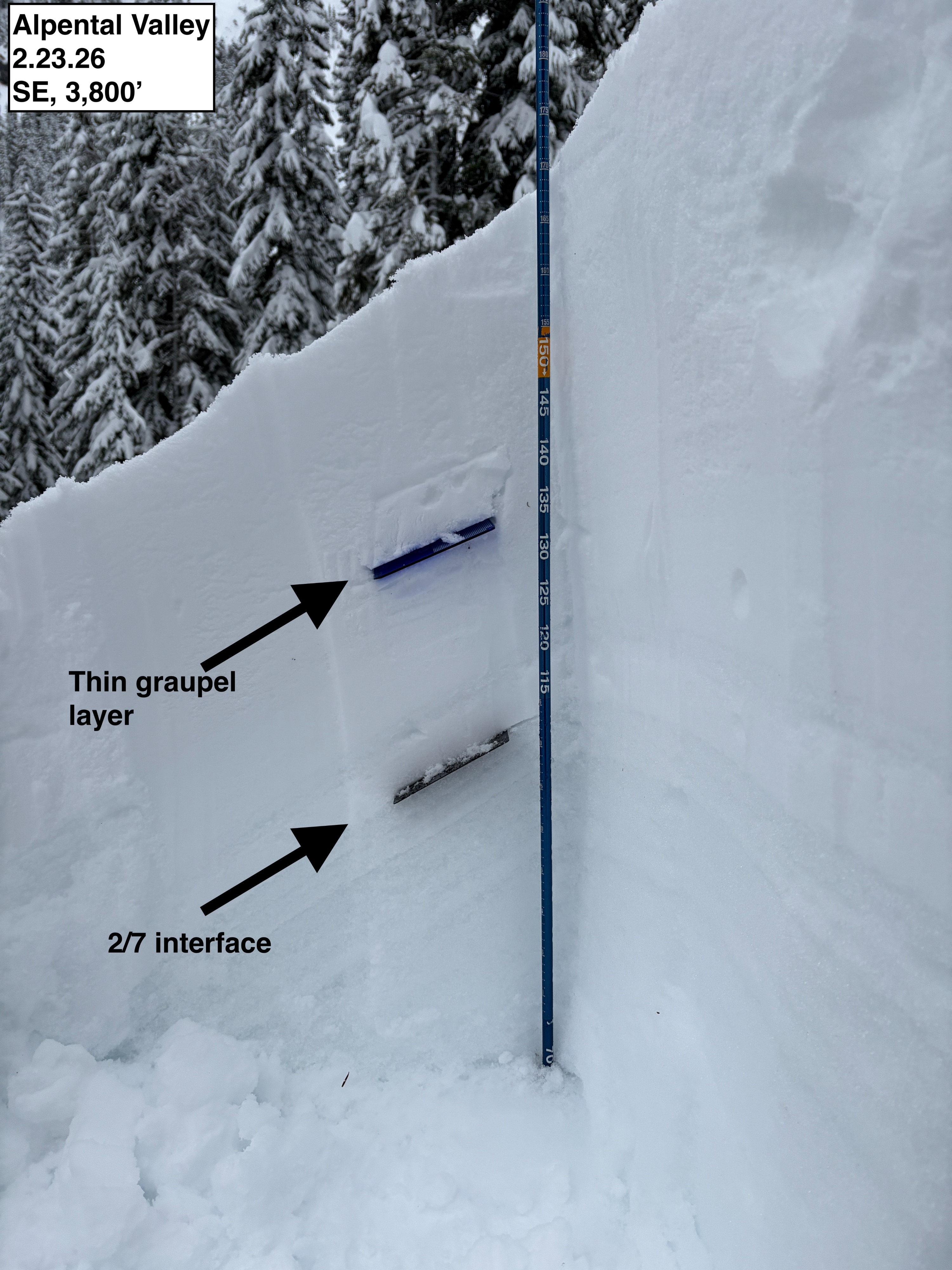
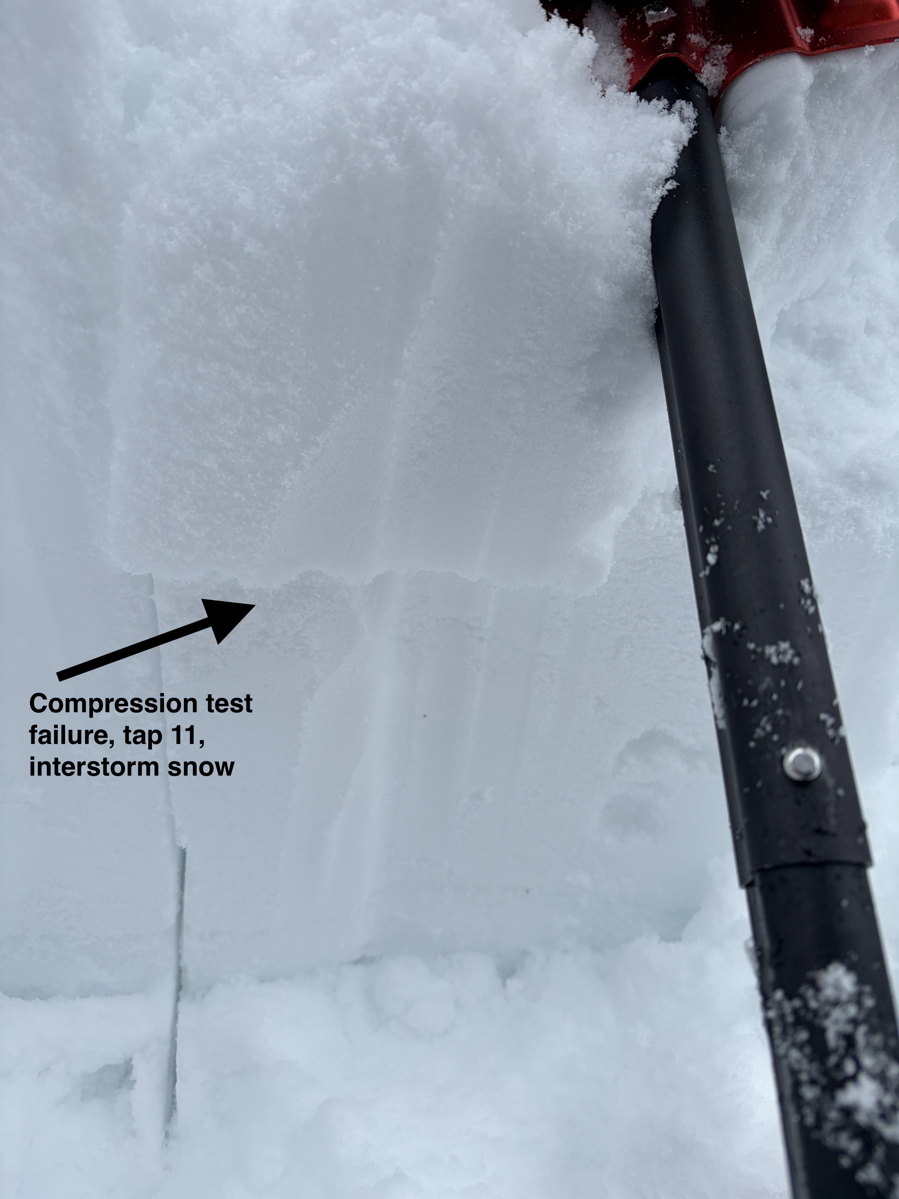
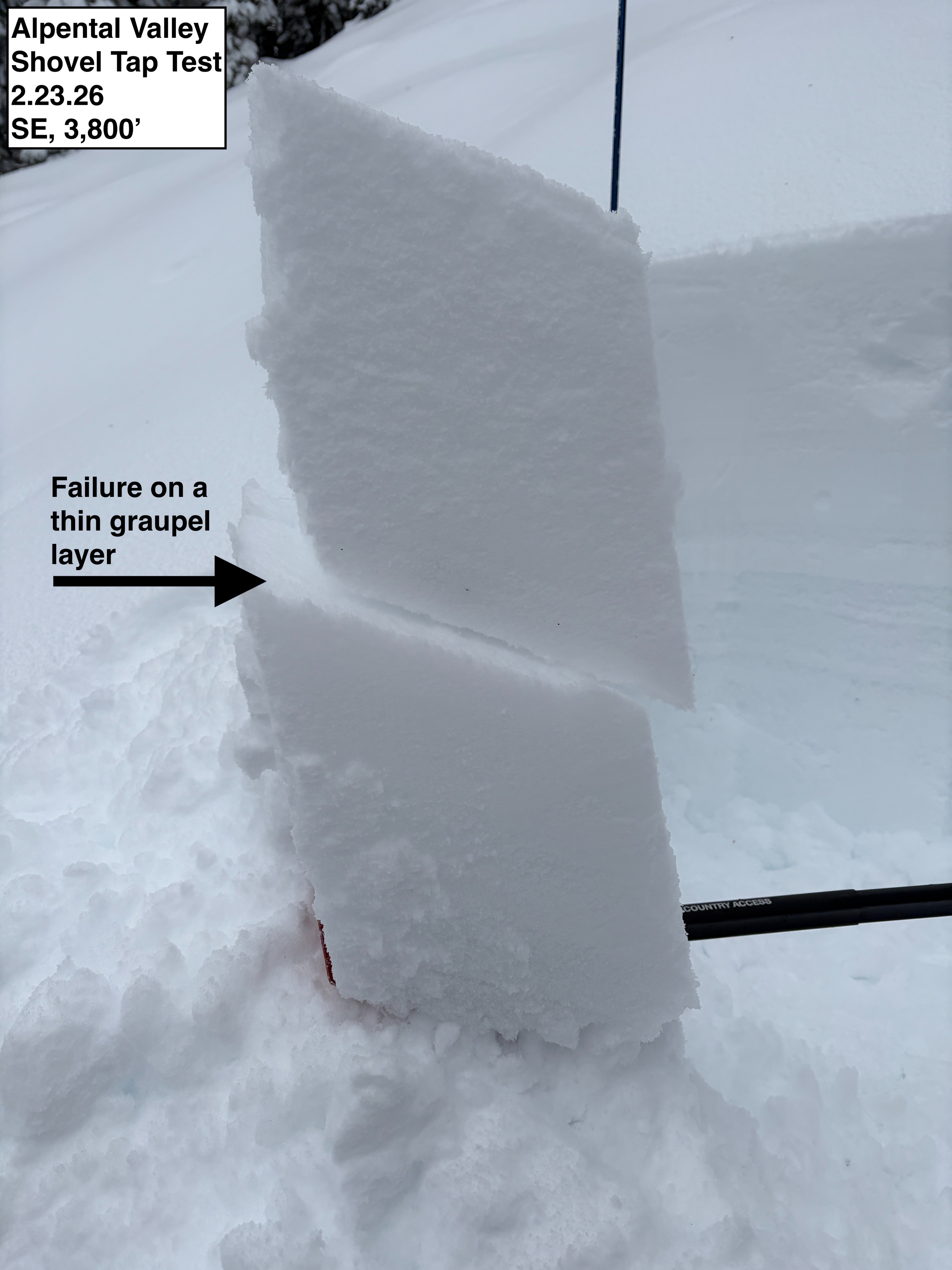
During compression tests, a few interstorm layers from yesterday or last night failed under moderate taps. A thin layer of graupel showed the cleanest and most reliable failure. Upon Extended Column Tests, none of these layers propagated across the column. With a shovel tilt test, the graupel layer popped planar with ease. No activity was observed on the 2/7 or 2/13 interfaces; however, visibility into the higher terrain was limited, and these weak layers have shown less significance at low elevations. Two separate avalanches were spotted at around 5,800' on a SE aspect near Chair Peak. These likely occurred sometime lastnight.Weather
- Air Temp
- 30-33
- Cloud Cover
- overcast
- Wind Loading
- none
- Rain Elevation
- 3000
- Recent Snowfall
- 15-20
- Snow Avail For Transport
- moderate amounts
Warm, with pass-level clouds hanging in the Alpental Valley. Temperatures were barely freezing in the parking lot. Precipitation had stopped before the tour began, but there was a period of light snowfall around 12. Winds were calm in the valley, with no noticeable gusts above.
Snowpack
On average, 6-8 inches of new snow fell at low elevations. The snow that fell is a bit denser than the low-density snow below, but identifying the exact interface between new and old snow was challenging. New snow totals change heavily with elevation, with closer to 8 inches at and above Source Lake. Snow depth at and around Source Lake ranges from 50 to 60 inches.