
Quick report
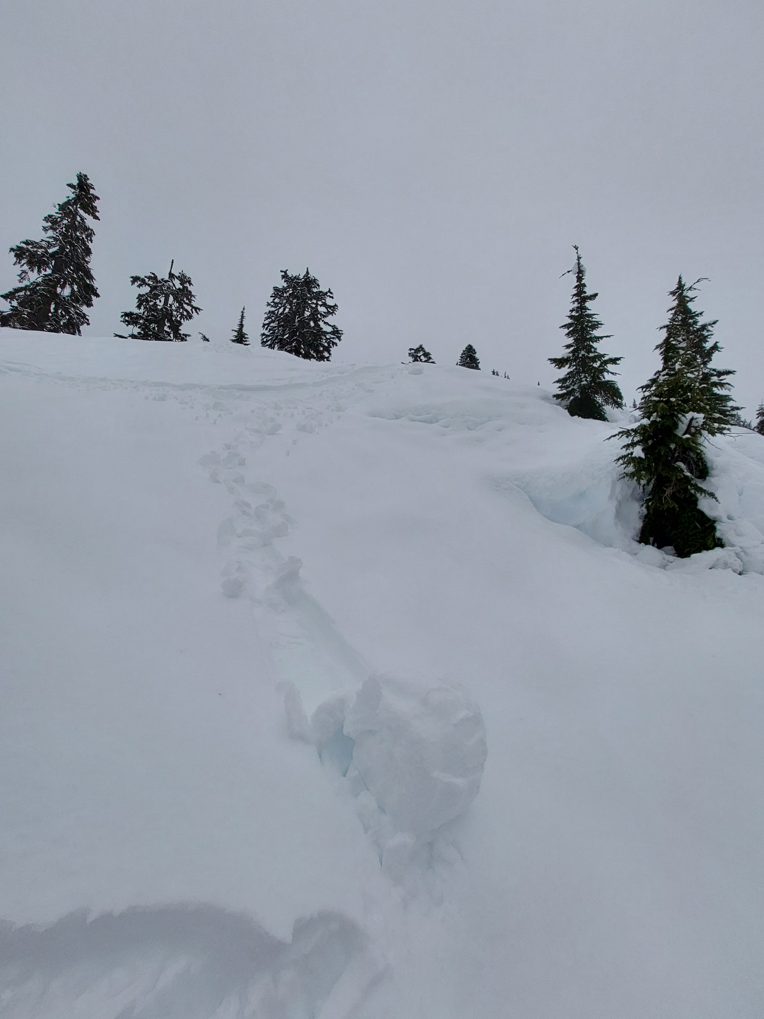
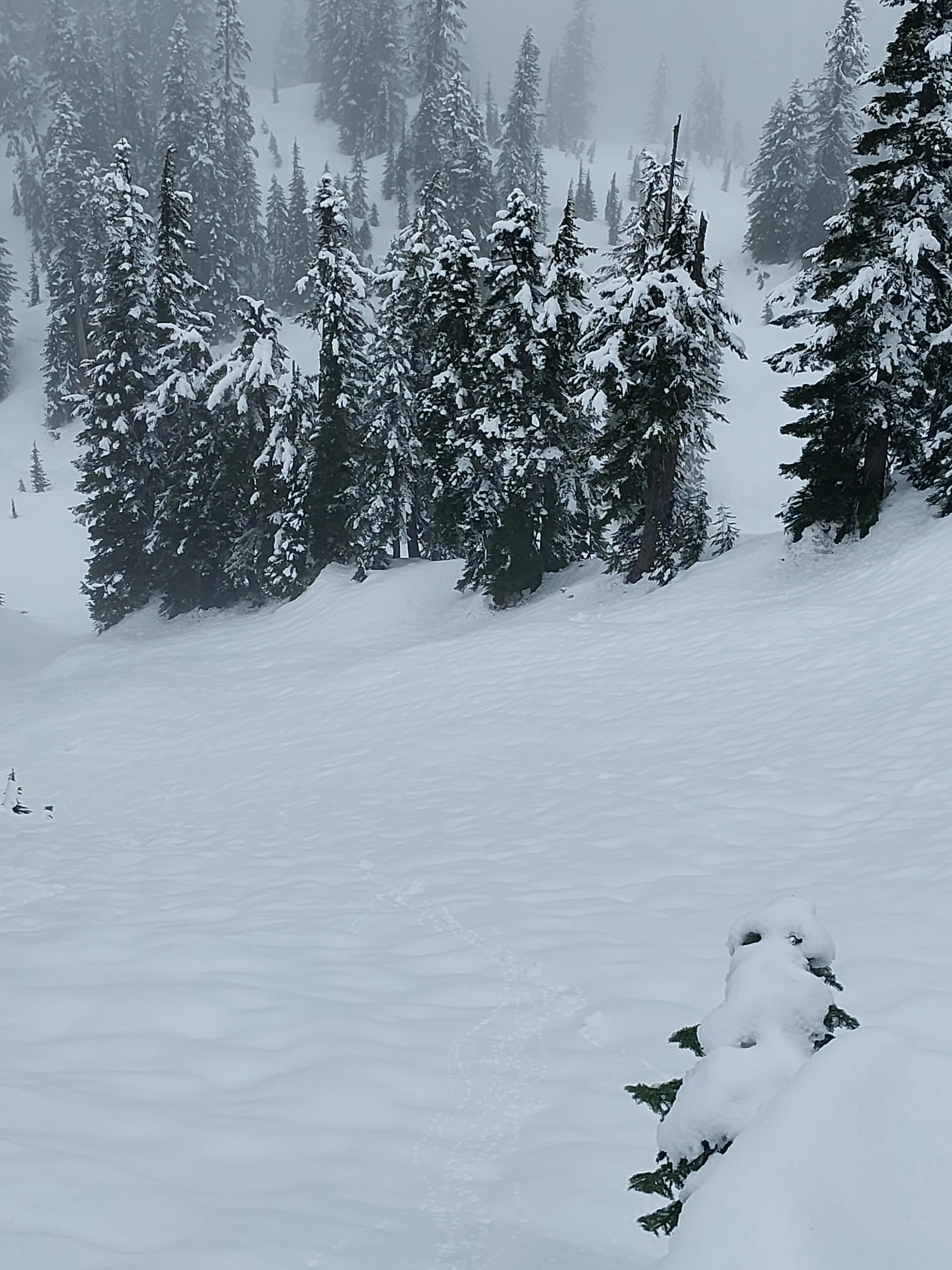
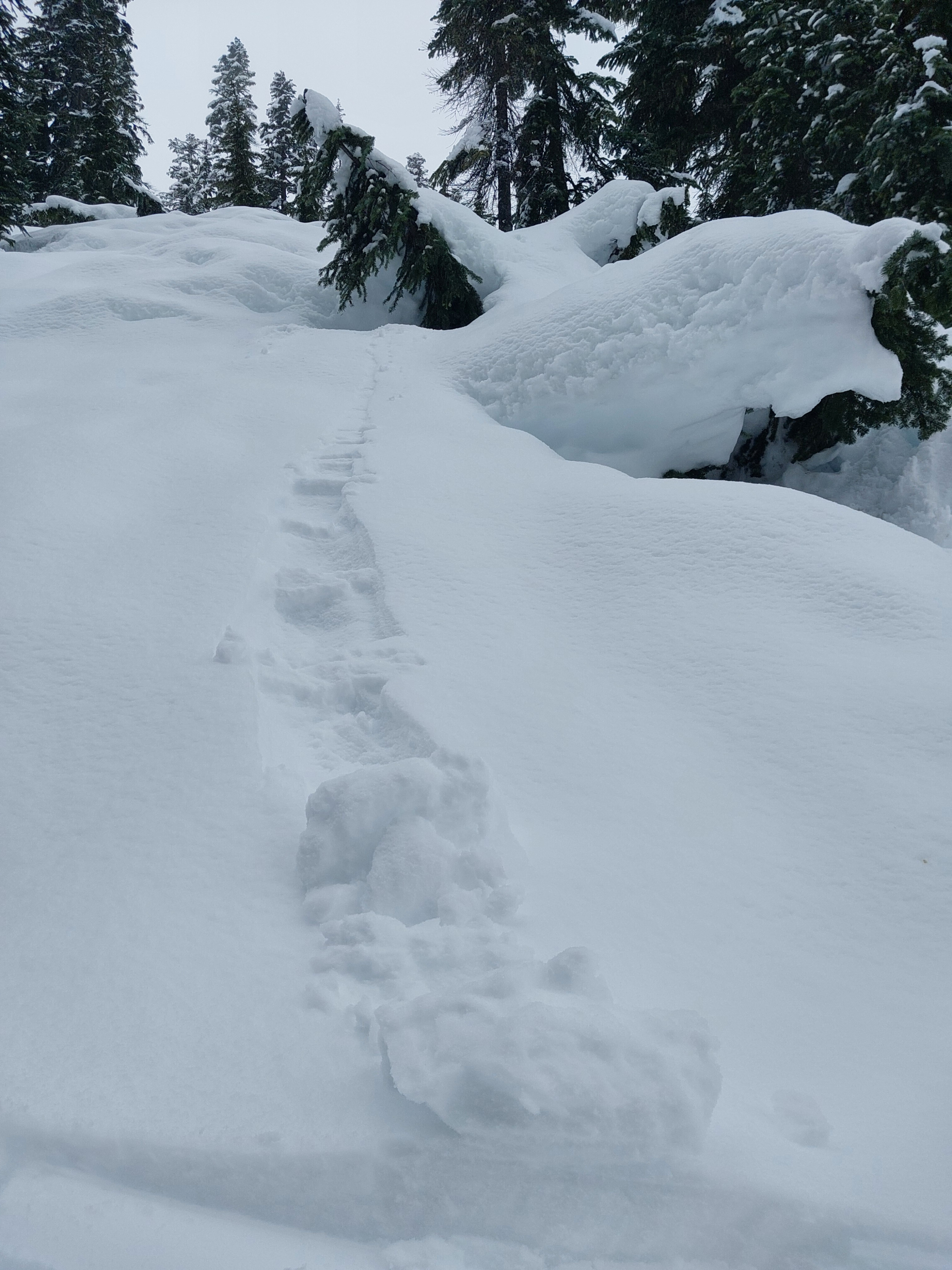
6-7" of new snow started as dry powder and improved travel conditions. Precipitation shifted to rain up to at least 5,400ft by 12p, and created a wet loose avalanche hazard. Fun skiing schmoo-on-soft crust.
Above 5,000ft, the old surface crust is thin, with a well-developed weak layer immediately below.
Weather
- Air Temp
- 32
- Cloud Cover
- obscured
- Wind Loading
- none
- Rain Elevation
- >5,400ft
- Recent Snowfall
- 18
- Snow Avail For Transport
- small smounts
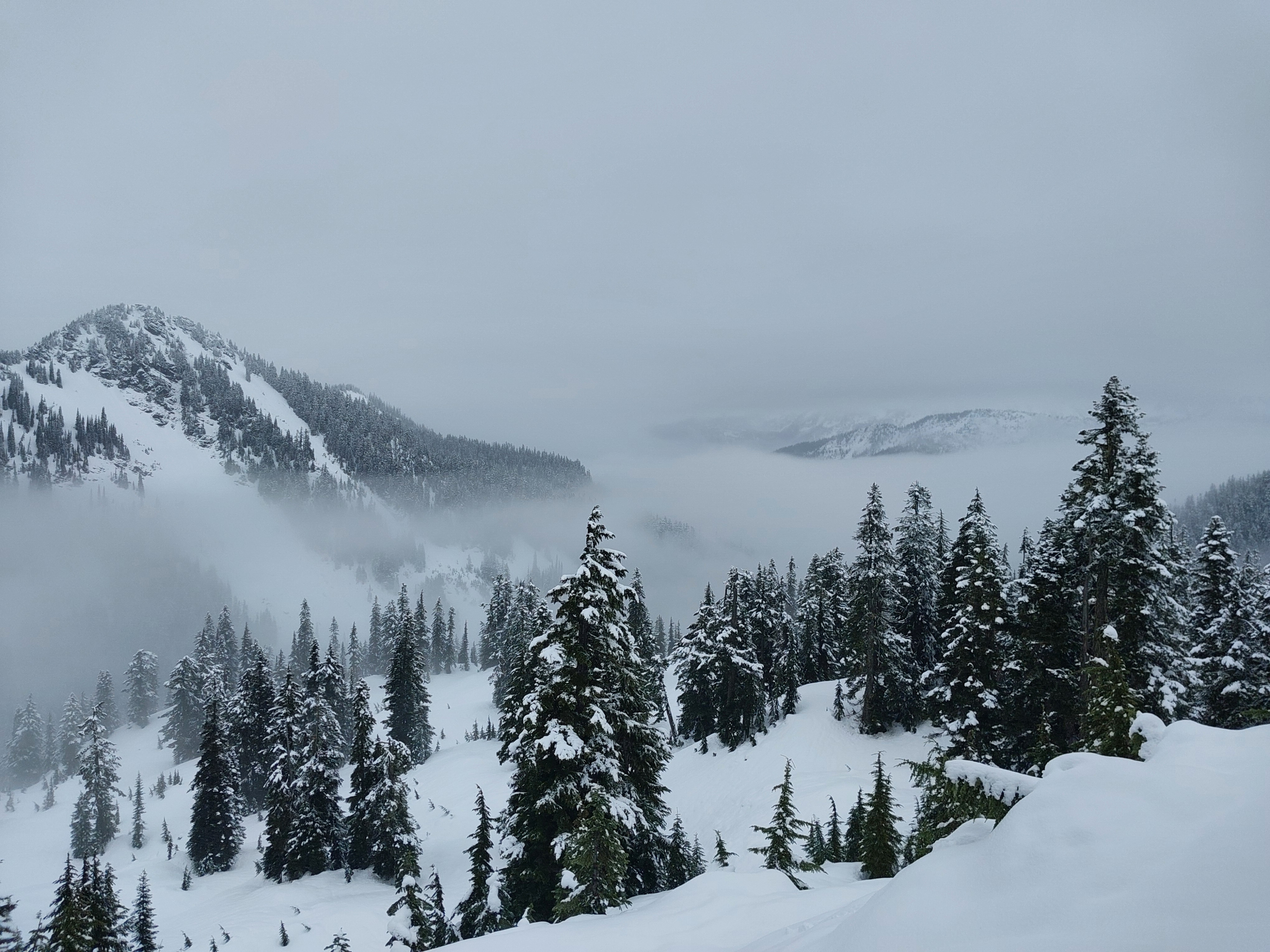
5-6" accumulated by morning with storm totals reaching 7" (18cm) before the snow stopped or switched to rain/mix. The rain/snow line started below 2,000ft in the morning and rose to above 5,400ft by 12 p.m. The winds were calm. Around 12p, clouds lifted to above 6,000ft.
Snowpack
Surfaces
Dry, new snow until 11 a.m, when precipitation shifted to rain and wetted the new snow.
Height of Snow
Snow depths vary widely with aspect and elevation. Above 5,000ft on NE-NW, 230-250cm (7-8ft). Near 5,000ft on SE-SW average height is 80cm (2.5ft) but you can also find bare patches. Snow depths are shallower as you drop below 5,000ft.
Snowpack Summary
17-18cm of moist new snow rests on the 1/28 crust. Below 5,000ft and on sun-exposed slopes, the crust is stout (1-Finger to Pencil hard) and at least 10cm thick. Above 5,000ft on NE-NW, the crust becomes thin (1cm or less) and friable. There it rests on 3-5cm of weak faceting melt forms (1-3mm). Under this weak layer are a series of melt forms and frozen layers that were wetted during the 1/12 rain event. See profile images below from near Lake Josephine, 5,070ft, NW.
Avalanche
- Size
- D2
- Type
- WS
- Aspect
- NE
- Trigger
- N
- Elevation
- 5300 ft
Triggered a very small, inconsequential wet loose slide on a very steep bank, and a couple of roller balls. Saw a couple of older, large wet slab avalanches from January 12th.