
Quick report
- Cracking
- isolated
The modest new snow totals really limit the hazard. Any avalanches we encountered today were very small. However, the new snow did bury particularly weak snow grains. They weren't much of an issue today, but have our attention going forward.
While not a deep storm, this adds to the storm totals for the week, leaving a foot or more of soft snow on shaded slopes. On sunny aspects, the new snow sits over a very slick and firm crust.
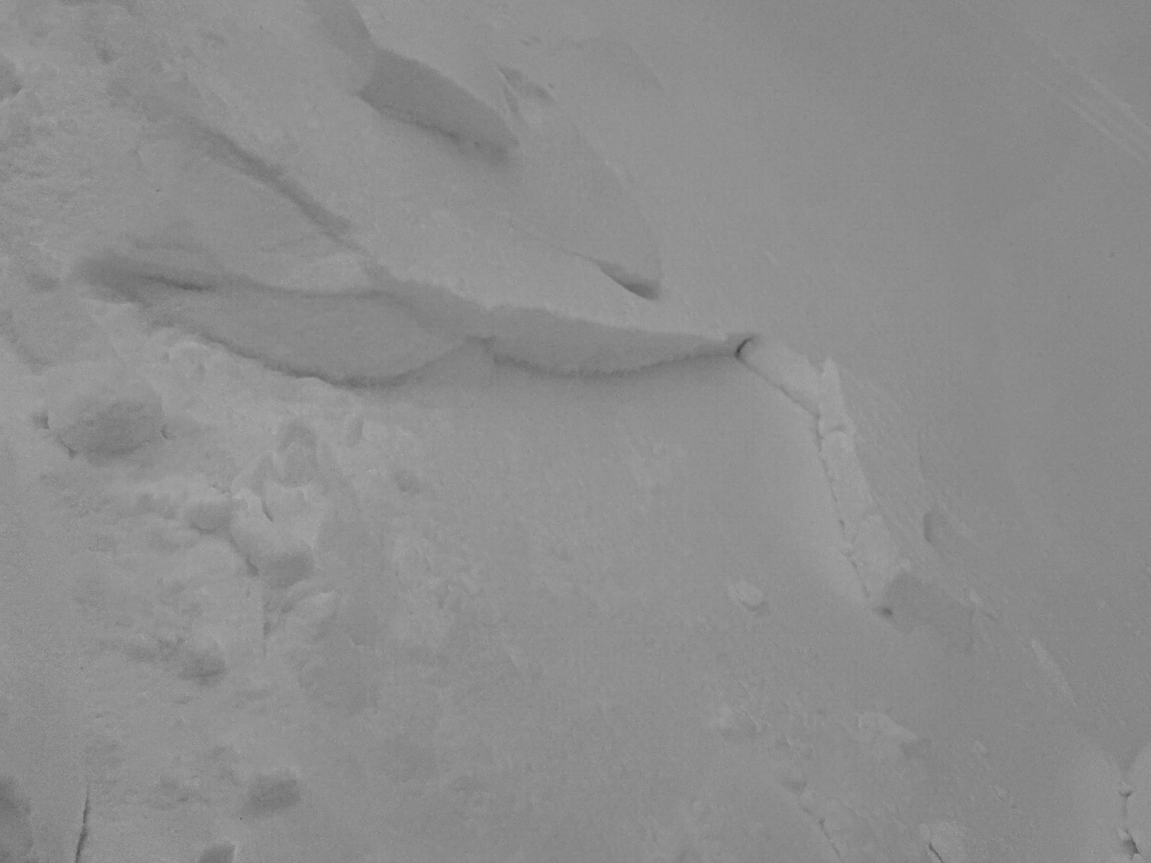
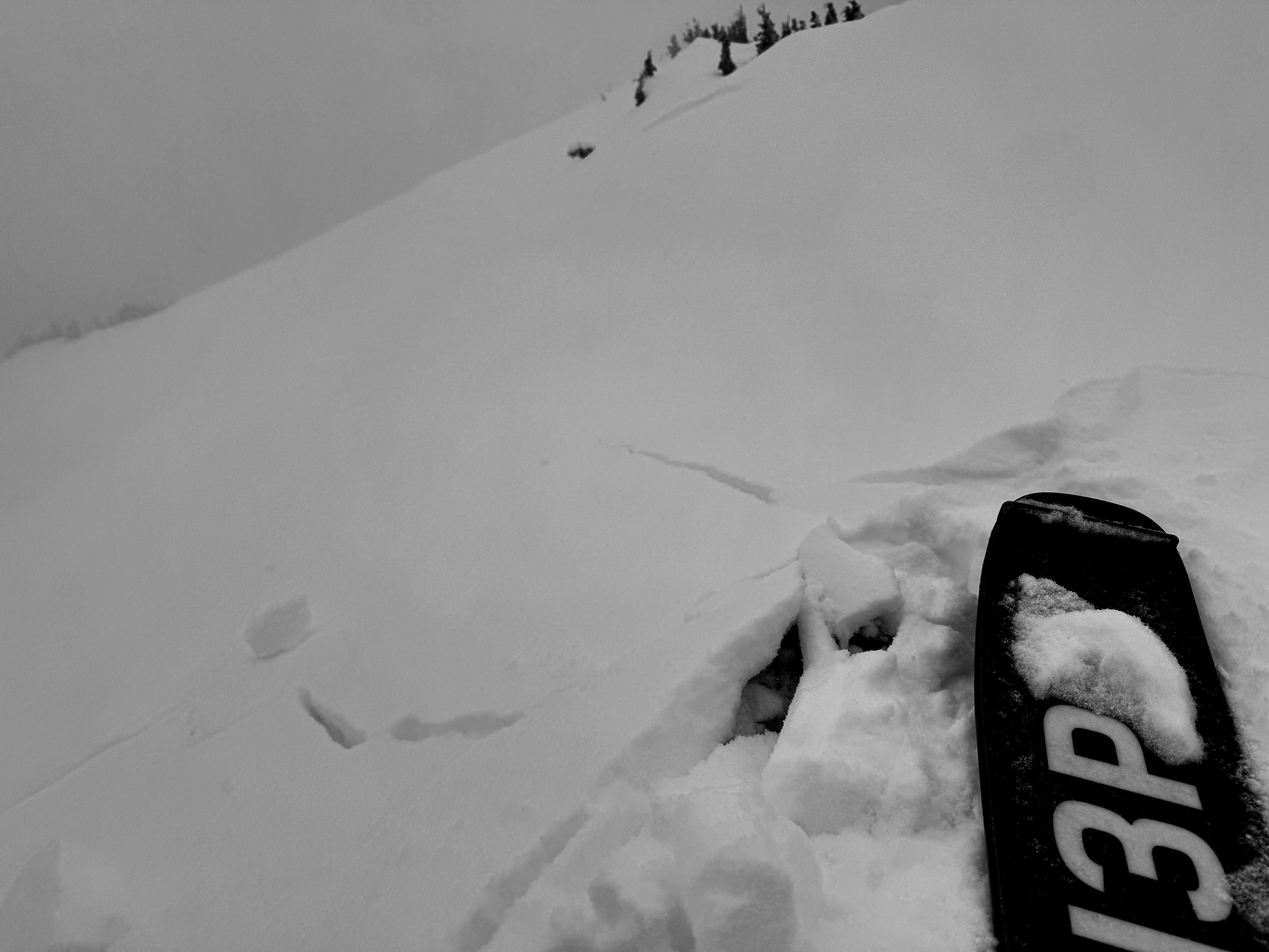
Short shooting cracks were limited to convex rollovers and wind loaded pockets.Weather
- Cloud Cover
- broken
- Wind Loading
- none
- Rain Elevation
- 3500
- Recent Snowfall
- 10
- Snow Avail For Transport
- small smounts
Mostly cloudy skies with a few light snow showers during the day. Mild.
Snowpack
New Snow: Overall, we found about 3-4 inches (10-12cm) of new snow over the 2/13 interface.
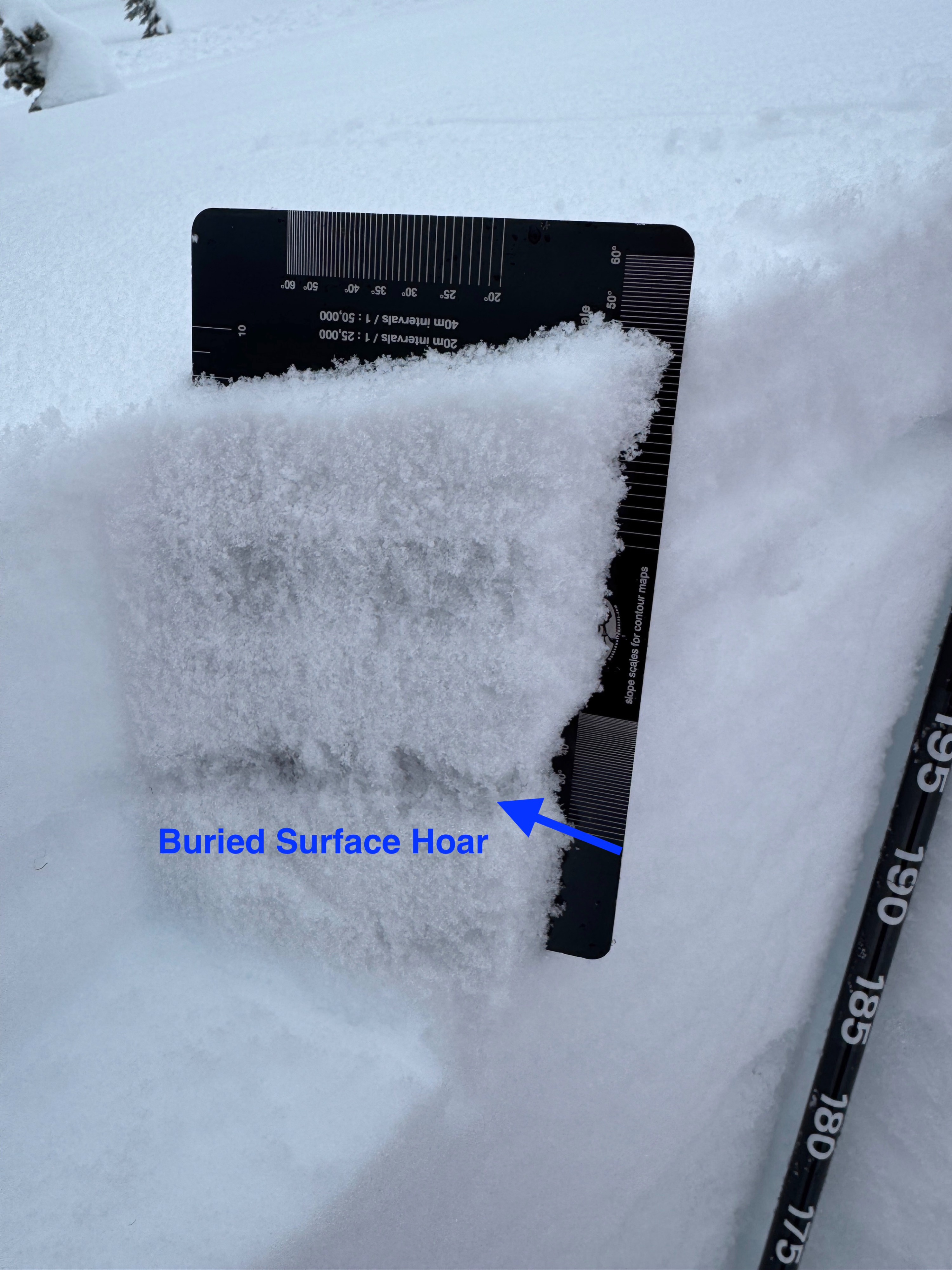
2/13 Interface: We found buried surface hoar and near surface facets at the bottom of the new snow. These weak grains were even seen near the ridgecrest in commonly wind exposed areas. On southerly slopes, the weak grains sit on top of a stout but thin crust. In shaded areas, they present as the classic 'dull gray line." Due to their shallow nature, test results were unimpressive on these grains.
2/7 Crust: This widespread and stout crust was found regardless of aspect. In a few snowpack tests on a NE slope, the snow failed just above this layer near an interstorm crust. In all locations, this layer was very stout and hard to dig through. Where we looked it seemed unlikely a slide could break through this crust.
Wind Loading: Evidence of wind loading was localized right to the ridge crest and the most wind exposed slopes. In a couple of spots, very small wind slabs seem to have formed over the buried surface hoar and facets of the 2/13 crust.
Avalanche
We intentionally triggered a few very small wind slabs 4-8 inches deep in wind loaded areas near the ridge crest.