
Quick report
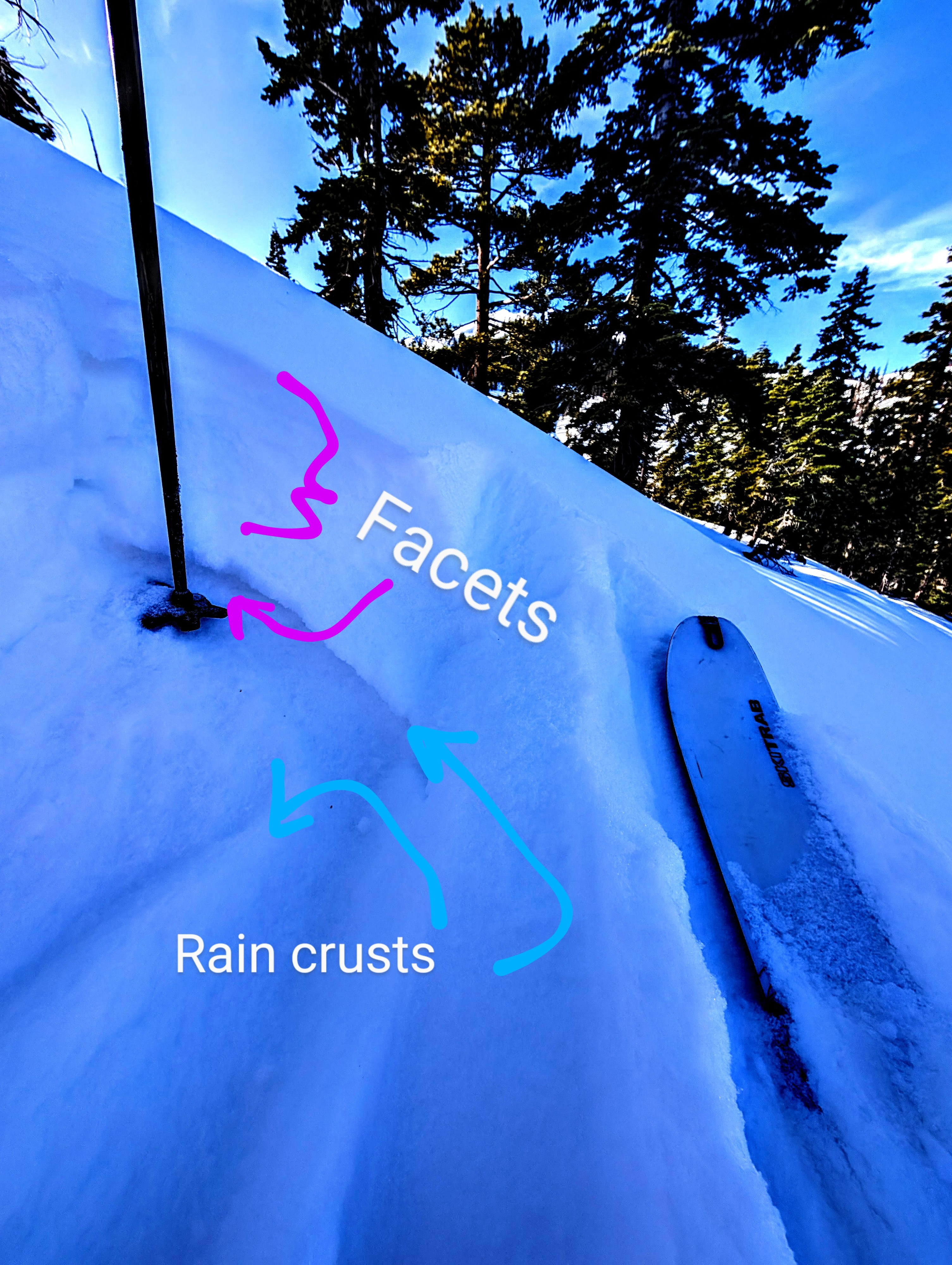
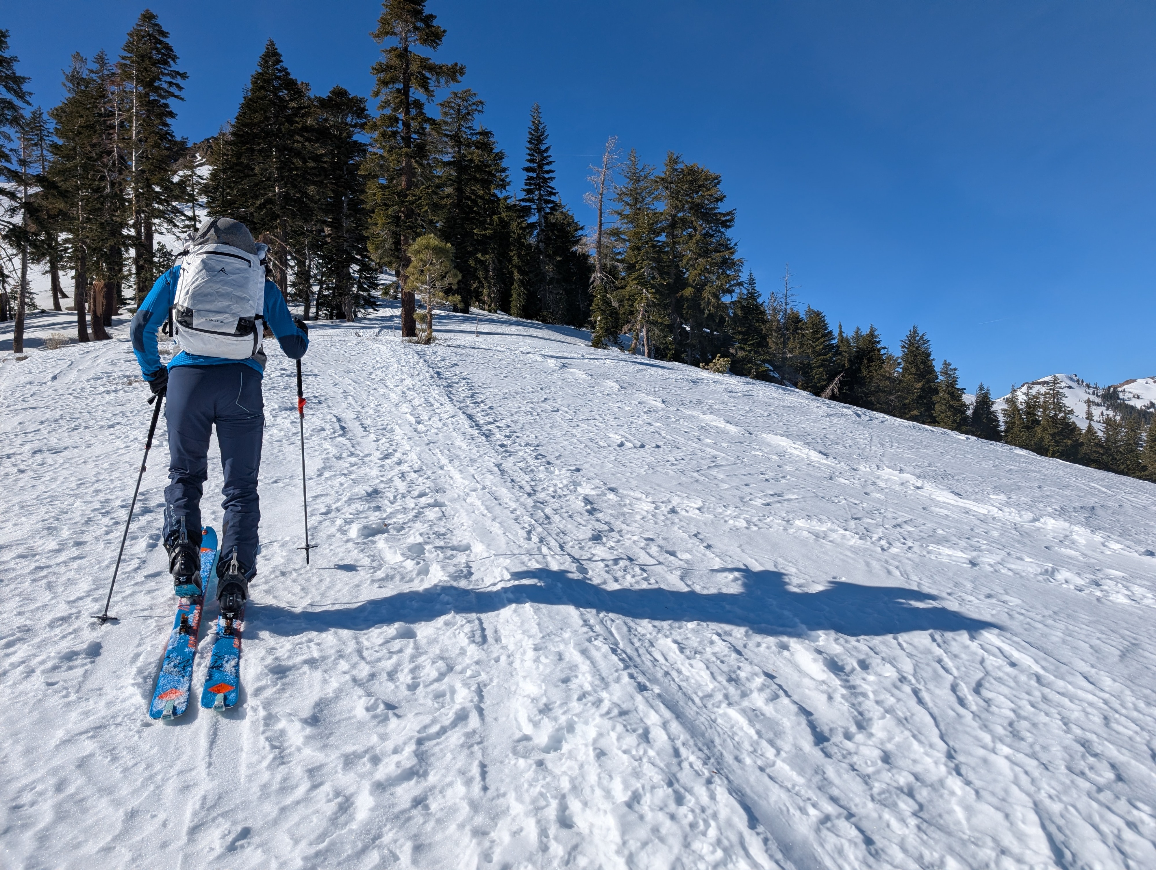
Similar to other places around the forecast region, conditions in the Silver Peak area varied greatly depending on aspect, elevation, and exposure to wind. We found soft, sugary snow (near surface facets) resting on rain crusts in northerly-facing terrain sheltered from the winds. Lower elevations held weaker surface snow and mid-elevation sheltered areas had slightly more supportable surface snow. This slippery combination of facets on a rain crust made skinning uphill more challenging in some places.
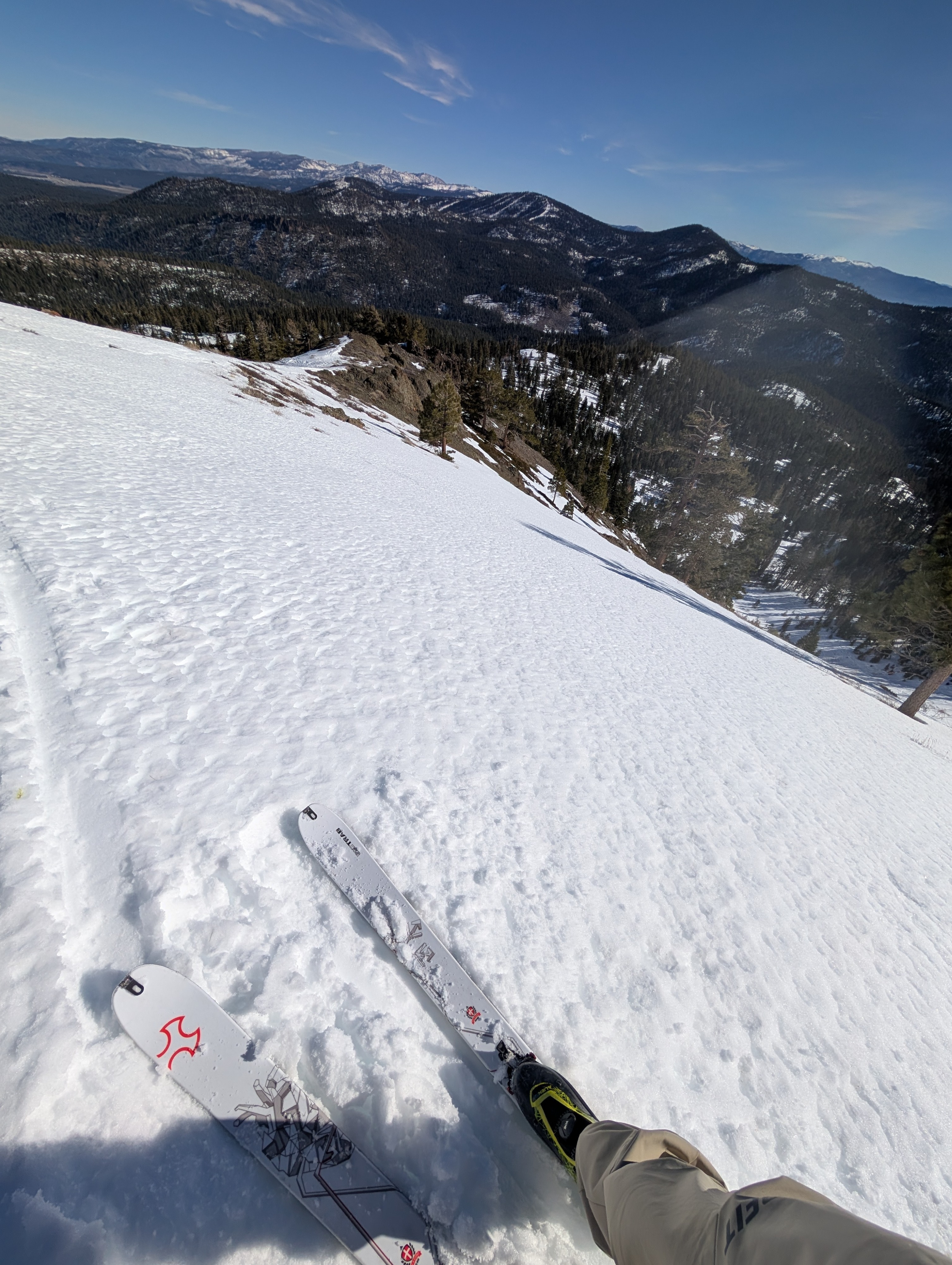
While the wind remained mostly calm today, uneven wind-sculpted snow surfaces and scoured crusts were widespread in open areas near and above the treeline. We also found wind-packed snow and rippled snow surfaces in some open areas below treeline. In some spots, the snow surface looked firm and wind-hammered, but the prolonged cold, clear weather had allowed it to soften (facet).
The snow on the sunny slopes has not been through enough robust melt-freeze cycles to transition to spring "corn" on SE aspects. Due S aspects still had poor coverage with rocks and ground exposed.
Weather
- Air Temp
- 46 °F
- Cloud Cover
- clear
Snowpack
4 to 8 inches of near surface facets on top of a rain crust cap alternating layers of rain crusts and facets in the upper snowpack. For now, this mix of weak layers and crusts just presents an interesting stratigraphy. Still, these could become weak layers and bed surfaces if they linger until the next significant snowfall or loading event.