
Quick report
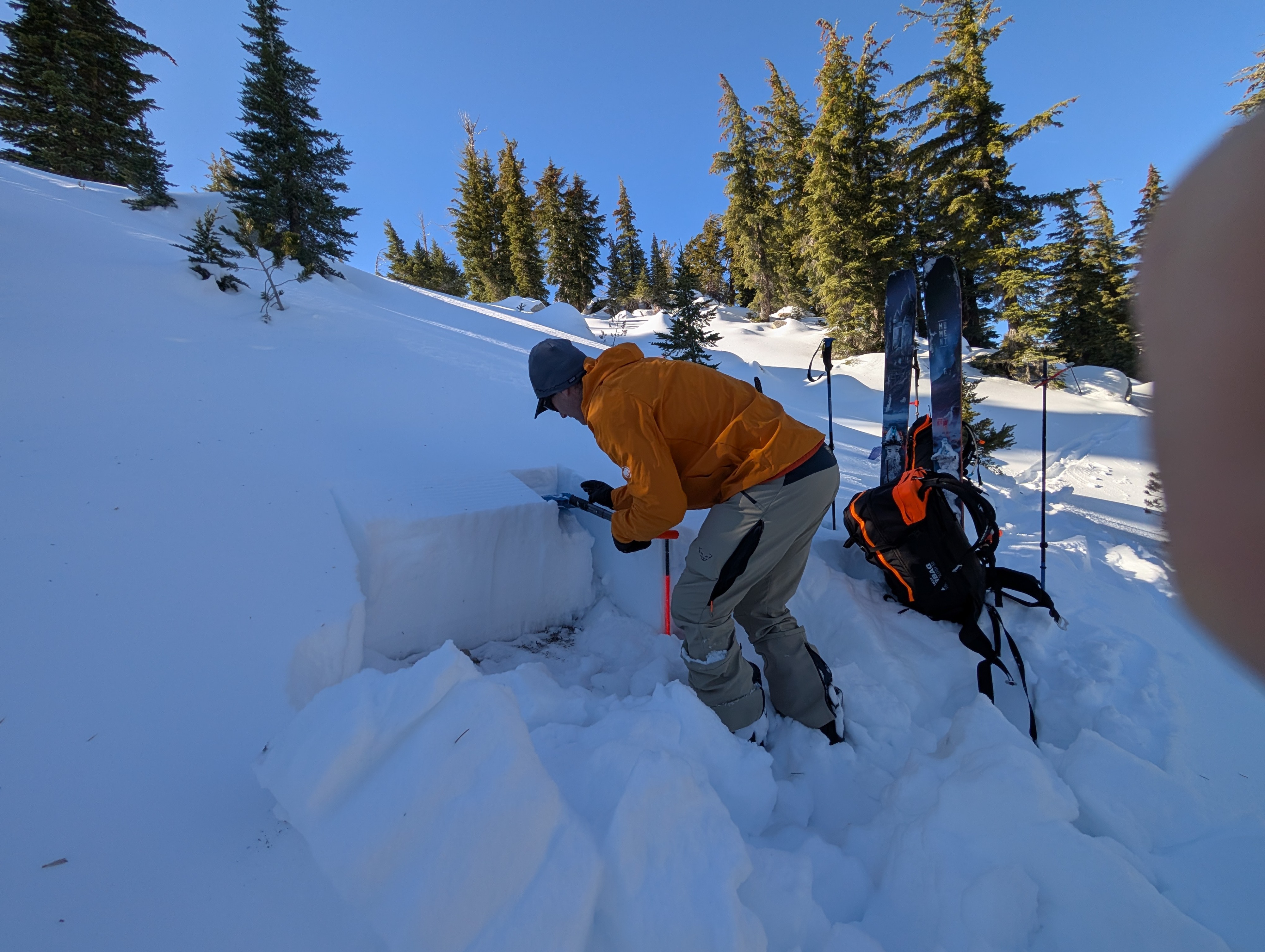
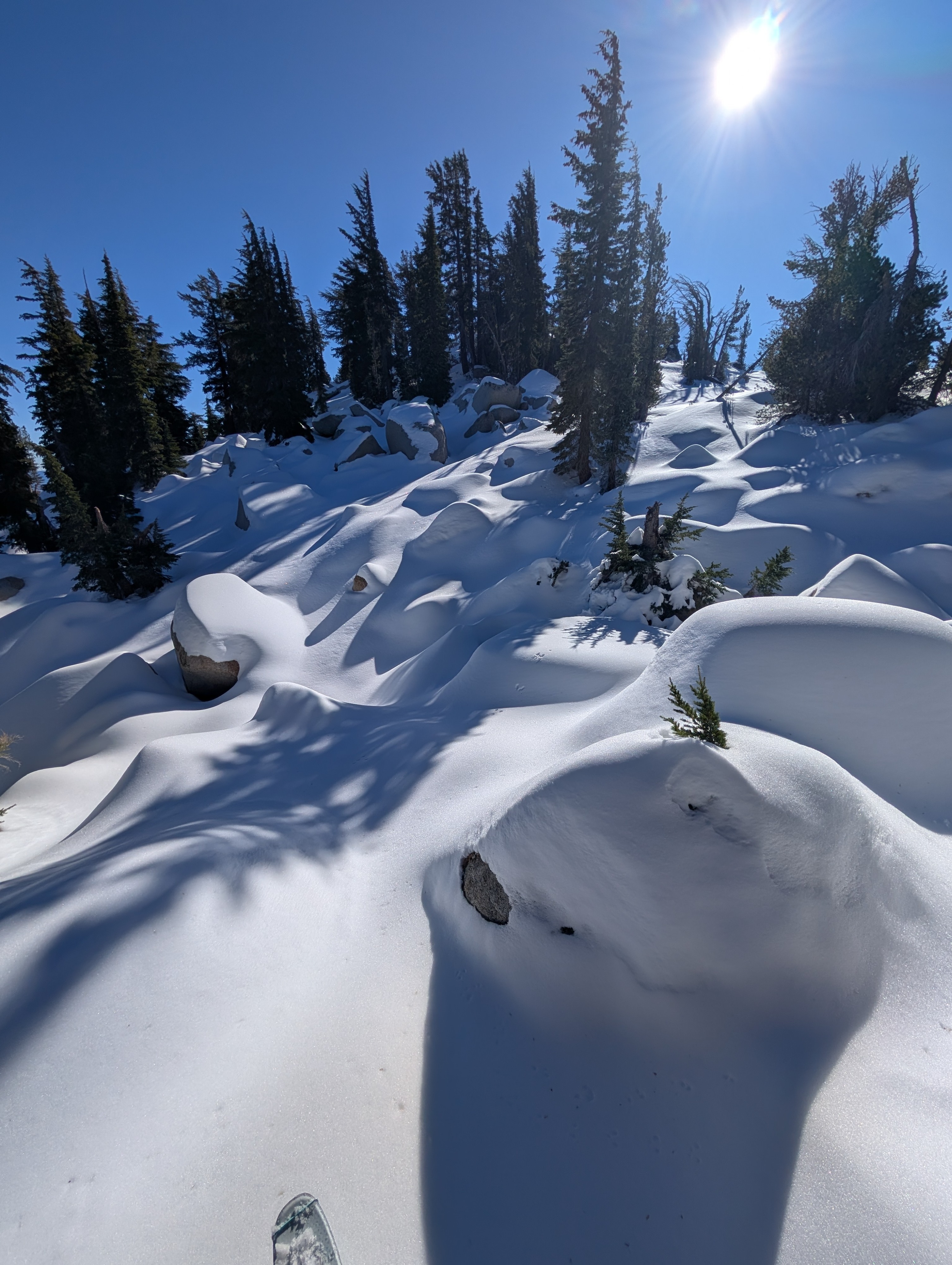
We went to get a look at the snowpack on the eastern fringe of the forecast area. On our arrival we found what was expected, a snowpack that is shallow and weaker than other areas closer to the Sierra Crest. On shaded slopes, sugary depth hoar lingers here at the bottom of the 1.5 to 2 foot deep snowpack. On sunny slopes, surface crust and surface wet snow exist in a diurnal cycle. Snowpit test results suggest that a dormant weak layer of depth hoar lurks here.
Travel was ski supportable with only a couple of inches of ski penetration into the snowpack. While we did not hit rocks on our tour, at times we needed to travel slowly to navigate around exposed rock. Stepping off skis resulted in deep boot pen down through 3/4ths of the snowpack.
Weather
- Air Temp
- 39
- Cloud Cover
- clear
- Wind Loading
- none
- Recent Snowfall
- 0
- Snow Avail For Transport
- small smounts
Clear skies, above freezing air temps, no wind.
Snowpack
As we traveled to the east away from Hwy 431, we could feel the snowpack get weaker underfoot on shaded slopes. The snowpack on the eastern fringes of the northern portion of the forecast area still has deep boot pen on shaded slopes and cupped crystal depth hoar at the bottom of the snowpack. The depth hoar remains loose and dry (dry to moist at best). ECT vs PST results suggest a dormant weak layer.
Snow is only available for transport from a NW-N-NE-E wind direction, not from a W-SW wind due to faceting on polar aspects and melt-freeze on solar aspects.