
Quick report
- Cracking
- specific
- Collapsing
- specific
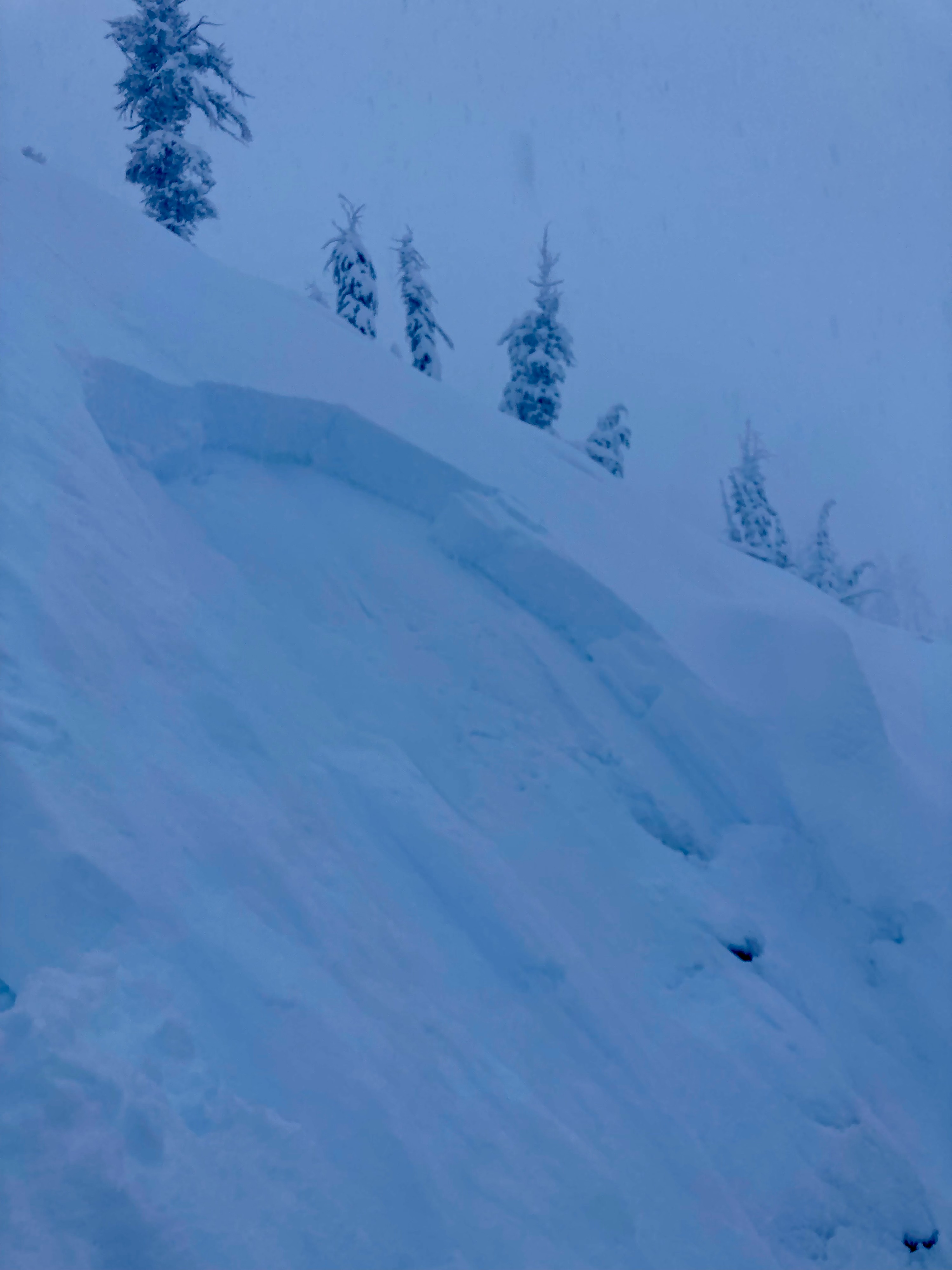
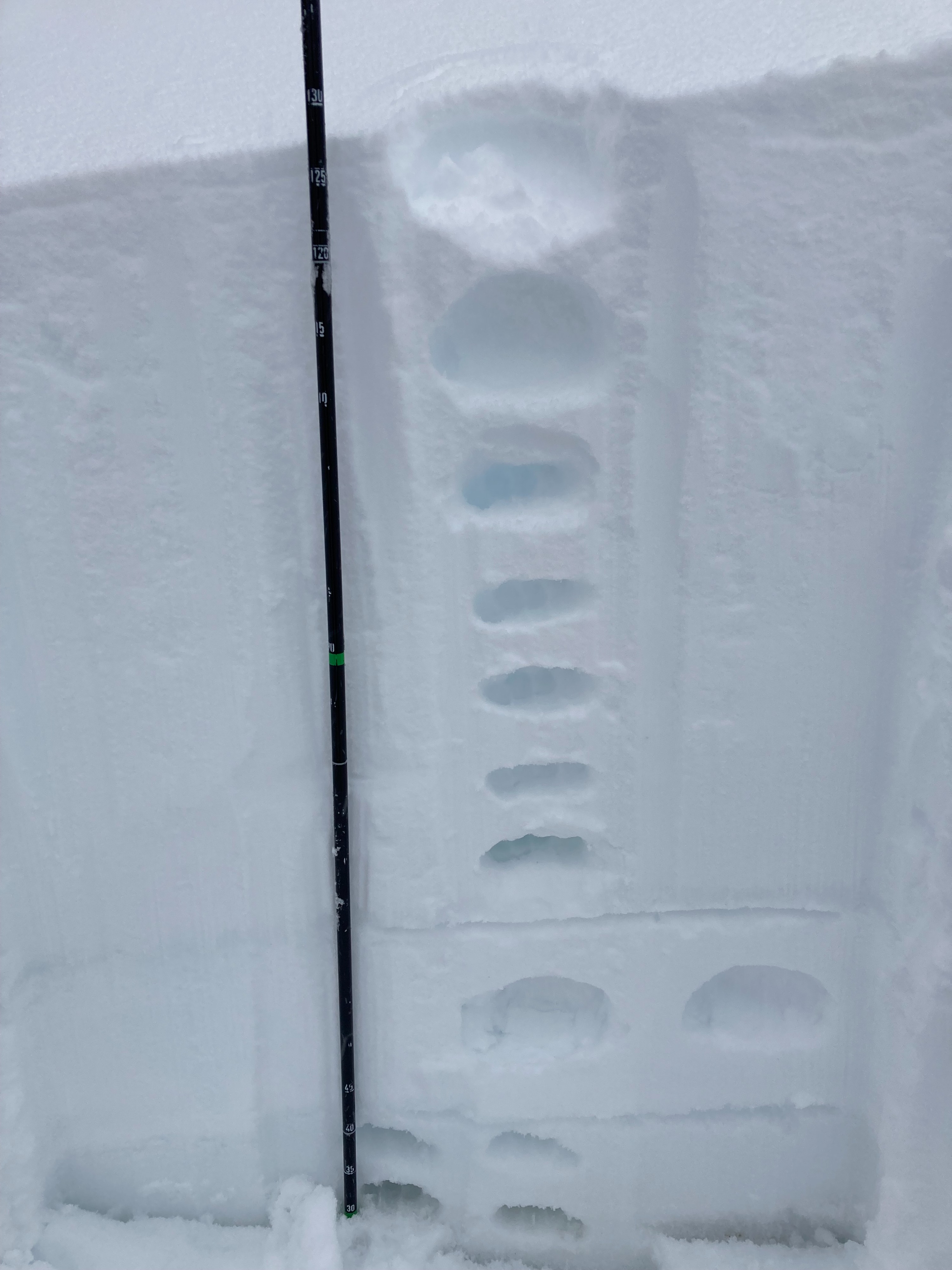
-Went for a afternoon tour in ward canyon starting at 130pm. Our expectation was for the storm to "lighten up" and instead it intensified throughout the afternoon. Large amounts of new snow and rapid accumulation occurred during our time in the field until 430pm. - On our ascent we noticed a significant jump in snow coverage starting at 7600ft, likely from the snow that fell overnight and during early morning while snow levels were higher. - We dug a snow profile (8200ft, NE aspect) after experiencing numerous collapses within the snowpack and wanted to investigate the culprit. We also wanted to check HST. - Results: ECTP22 down 60cm on a layer of fist hard snow. This softer layer below the denser new snow was the layer of concern and verified the reason for the collapses. HST at this location was 70cm, HS was 130cm. - Most notable ob of the day was an intentional skier triggered D1.5 storm slab that failed on that same layer we identified in the snowpit. This storm slab was a smaller pocket (30ft wide) but the crown was 60cm in thickness and the avalanche ran for 100 feet. Location was at around 8000ft , NE aspect on a convex roll.
Weather
- Air Temp
- below freezing
- Cloud Cover
- obscured
- Wind Loading
- moderate
- Recent Snowfall
- 40-70cm
- Snow Avail For Transport
- large amounts
very heavy snowfall rates fluctuating between S5-S10 (2-3 inches per hour), winds below treeline were light, winds at ridgeline were strong from the SW.
Avalanche
- Size
- D1.5
- Aspect
- NE
- Trigger
- AS
- Elevation
- 8000 ft