
Quick report
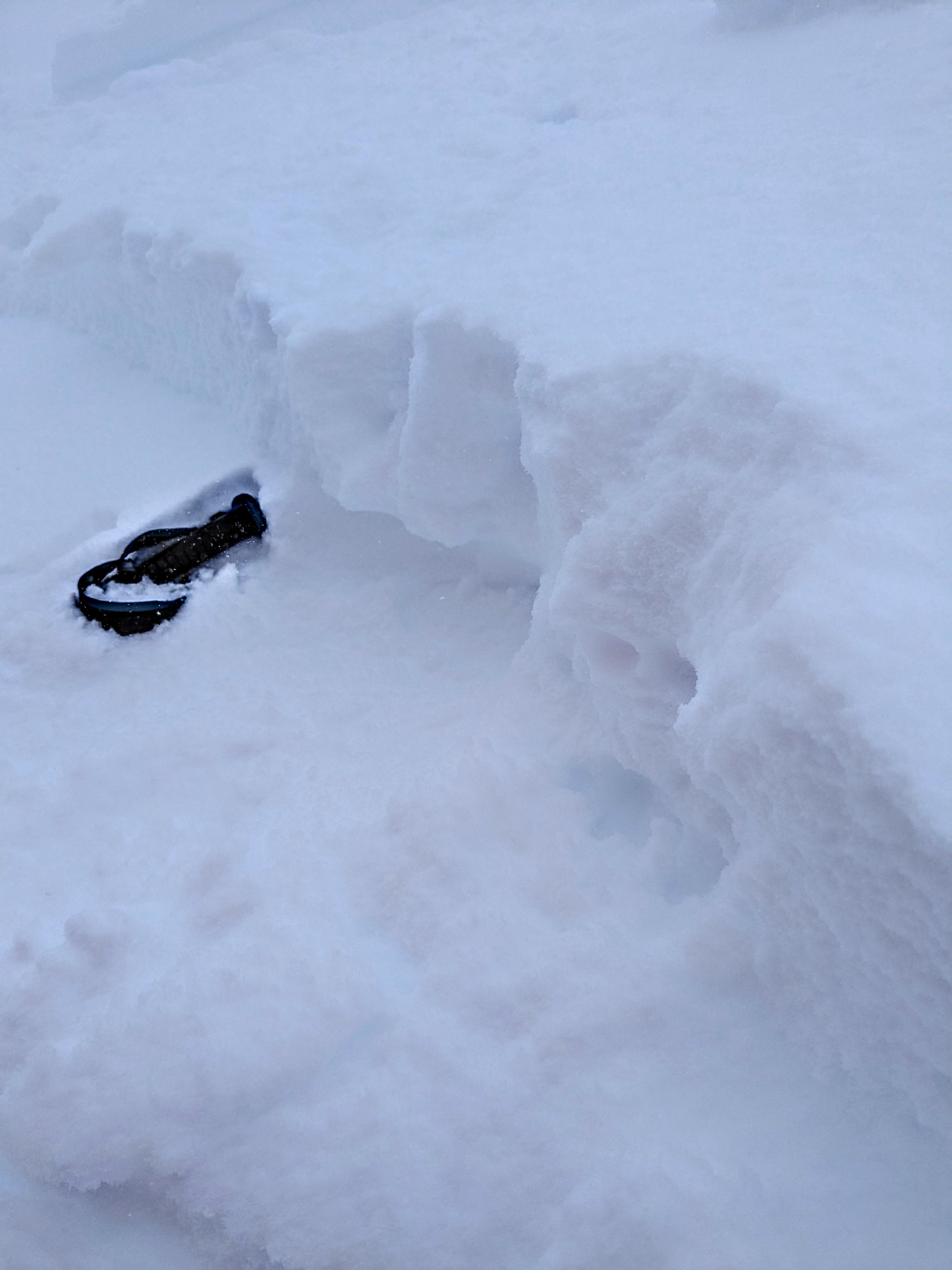
We arrived on Donner Summit with snowfall rates around 2 inches per hour. New snow was right side-up, reflecting the warm to cold progression of the storm. It snowed about 3 inches between 9:15 am and 11 am. Accumulating snowfall stopped abruptly around 11 am with a total of 12 inches of new snow in the area upon our departure just after 1 pm.
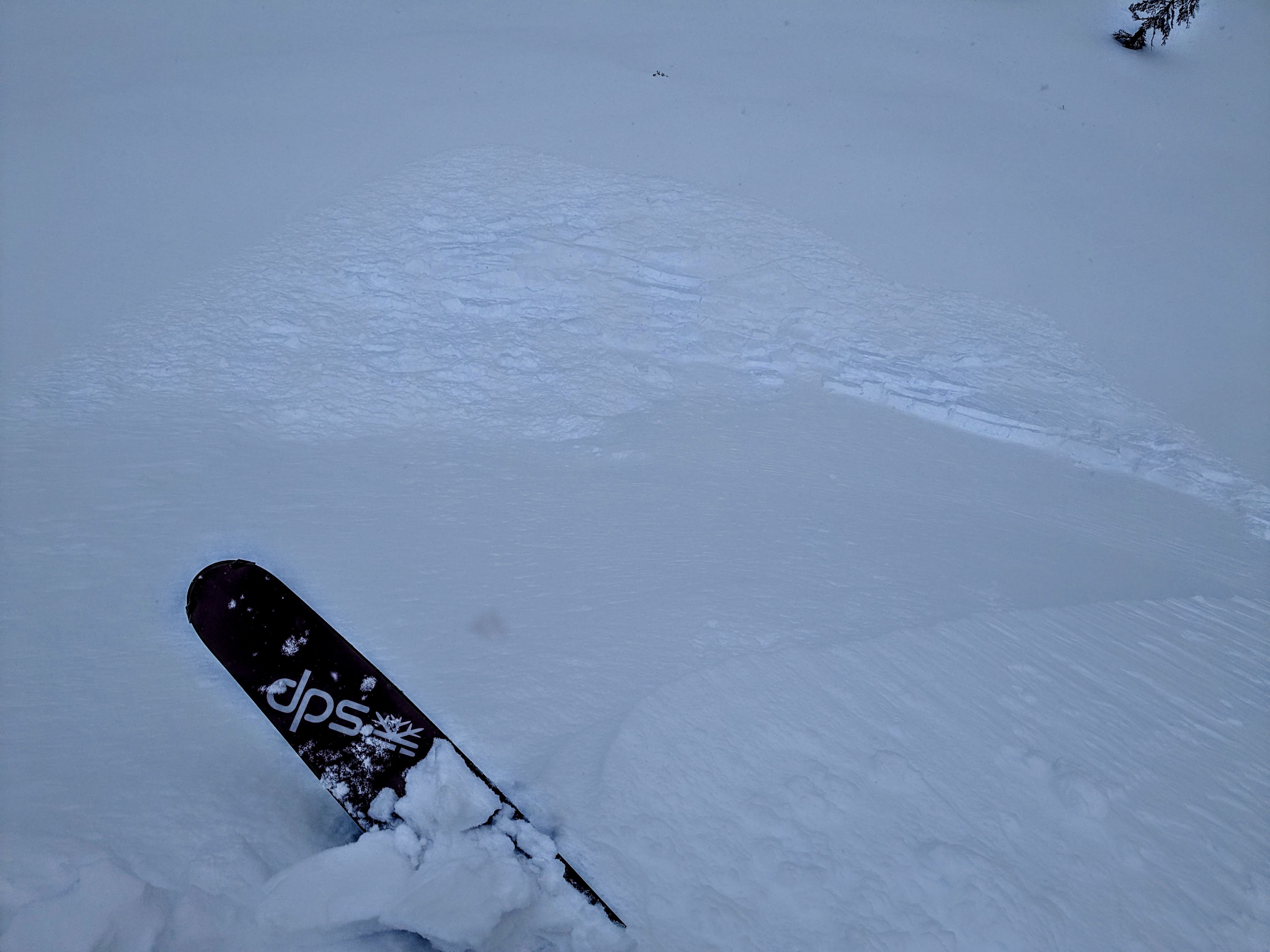
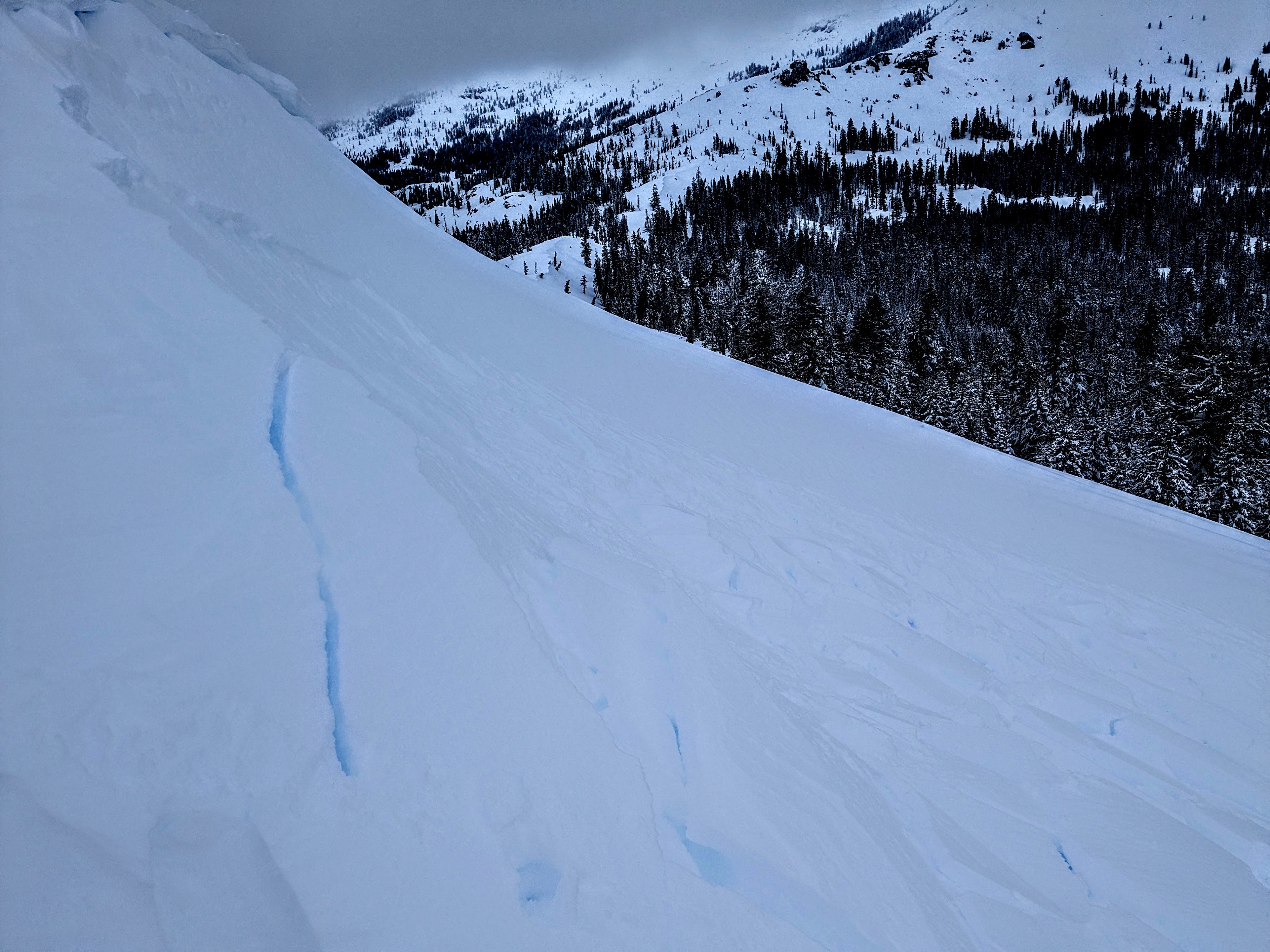
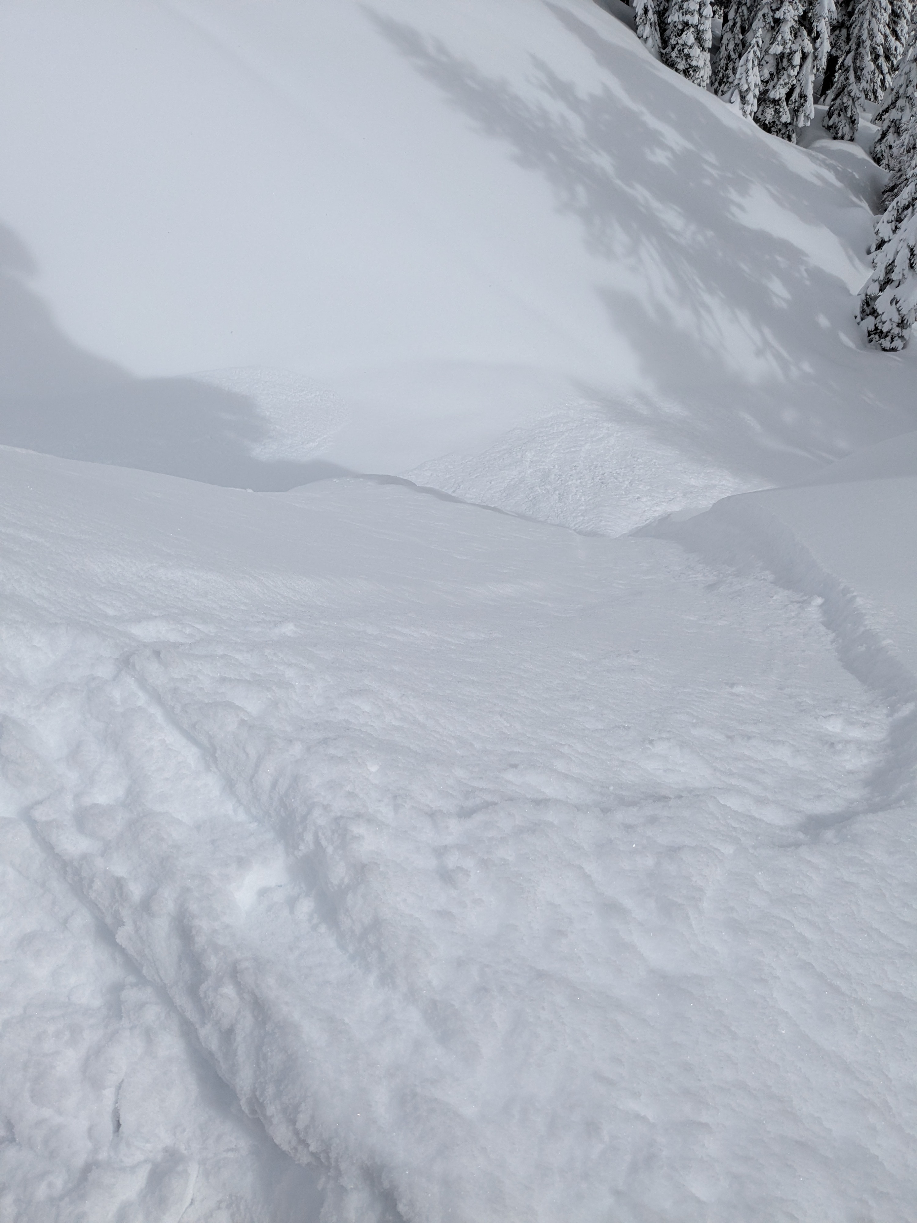
We encountered soft slab conditions only in wind loaded areas near treeline and above treeline. We intentionally triggered shallow soft slabs ranging from 4 to 8 inches deep on three separate wind loaded test slopes. Slabs were F to 4F hard and failed on F+ hard snow at the bed surface. Only the portions of slope with the most direct wind loading appeared reactive. Moderate speed SW winds continued to drift snow along ridgetops thoughout our tour, including after snowfall had stopped. There was enough drifting going on at treeline and above treeline to refill skin track after 1 hour.
We encountered dry loose sluffs and no slab formation in wind protected areas below treeline.
We triggered three soft slabs on separate test slopes in wind loaded areas.Weather
- Cloud Cover
- overcast
- Wind Loading
- moderate
- Recent Snowfall
- 30 cm
- Snow Avail For Transport
- large amounts
Snowfall rates of S4-S5 during the morning, abruptly stopping around 11 am. Occasional snow showers, <S1 observed from 11 am to 1 pm.