
Quick report
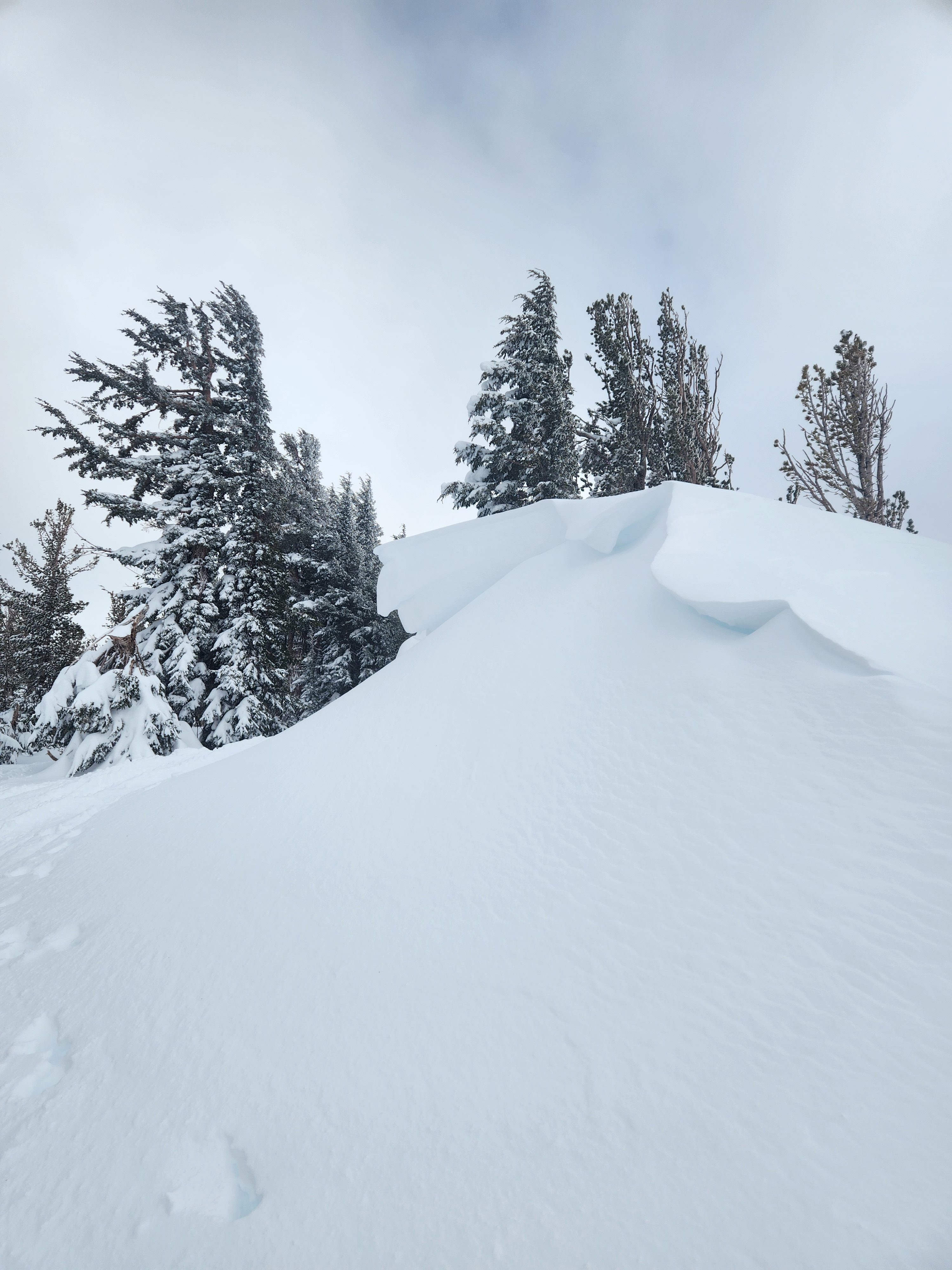
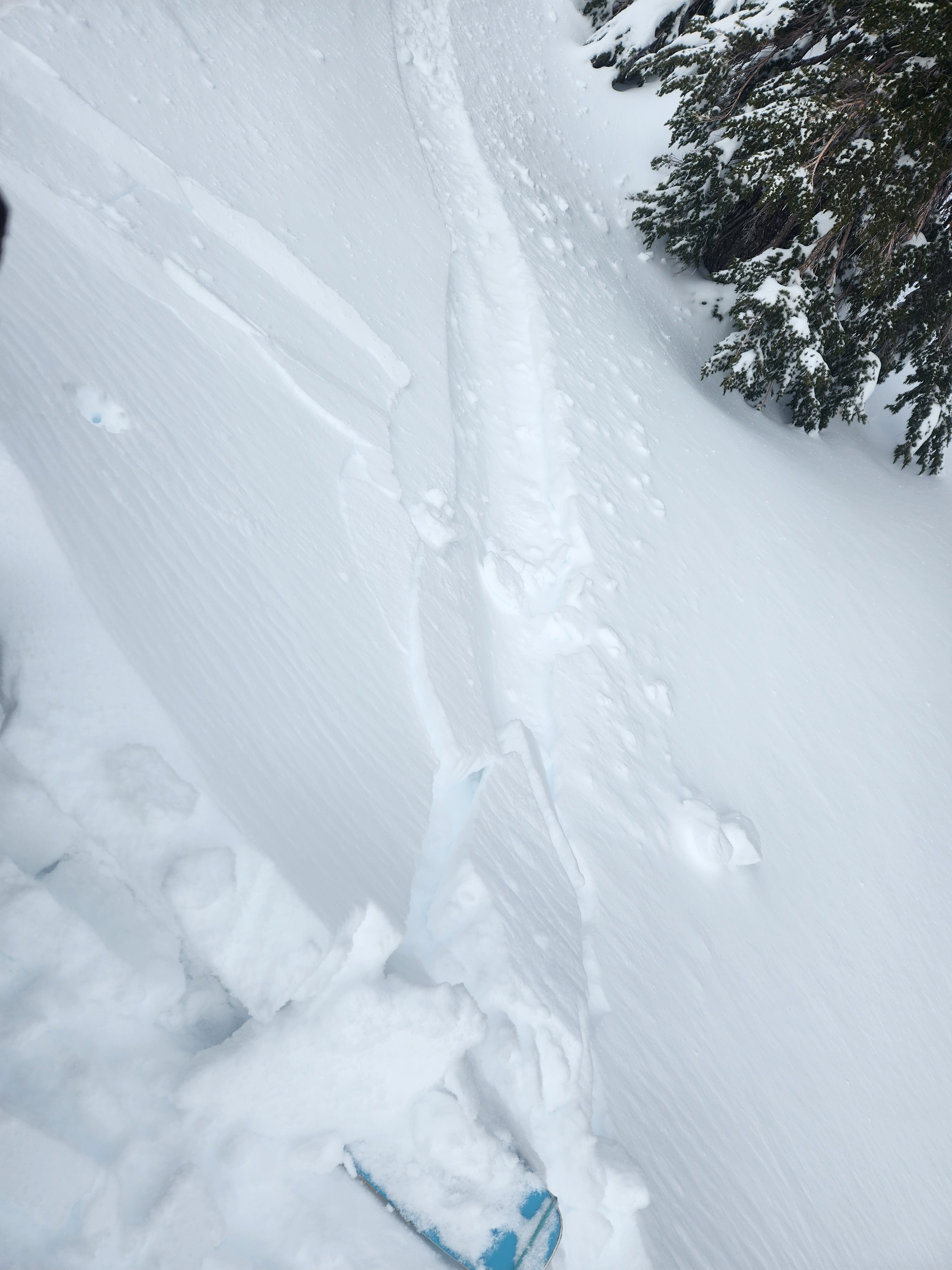
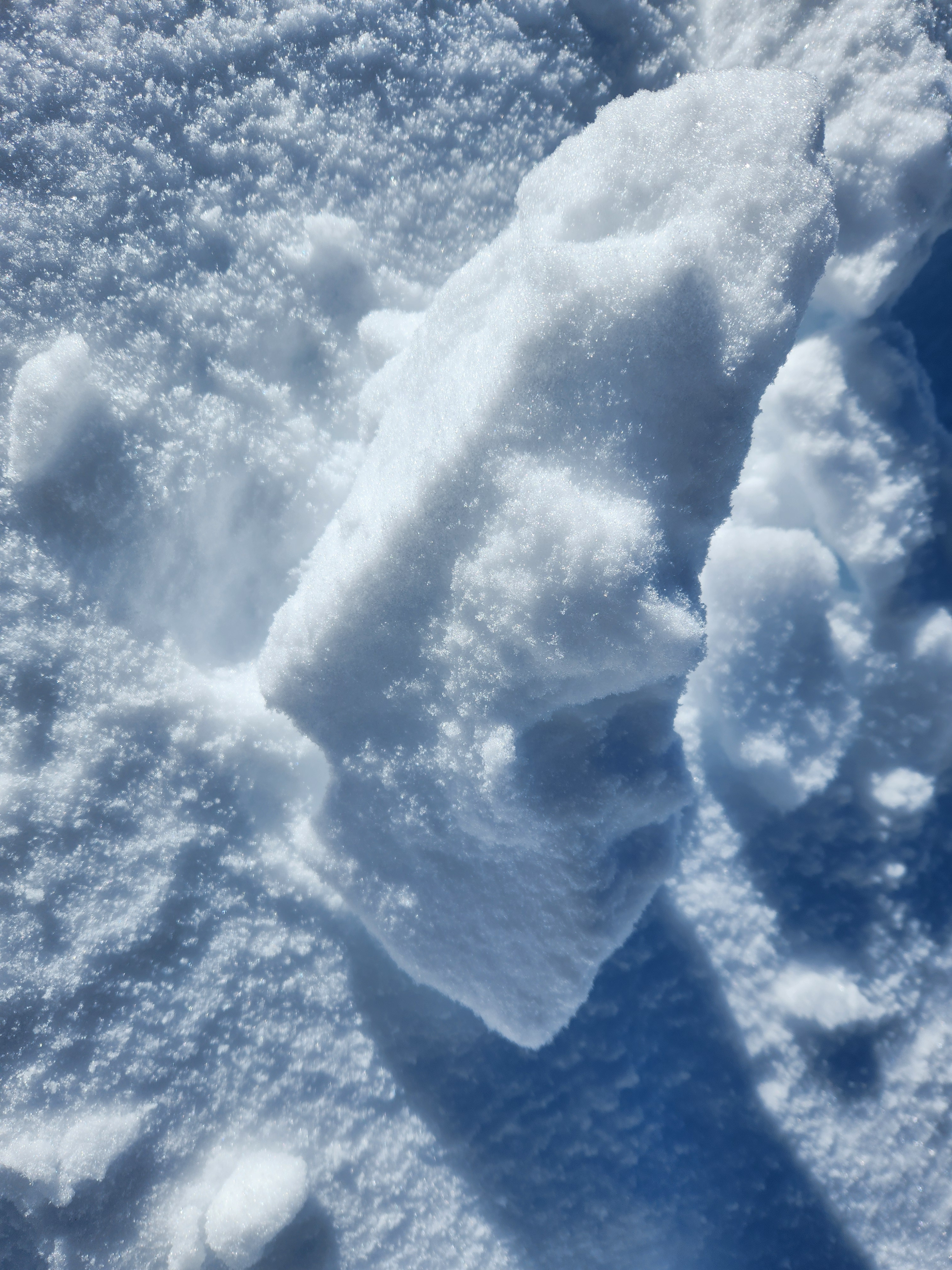
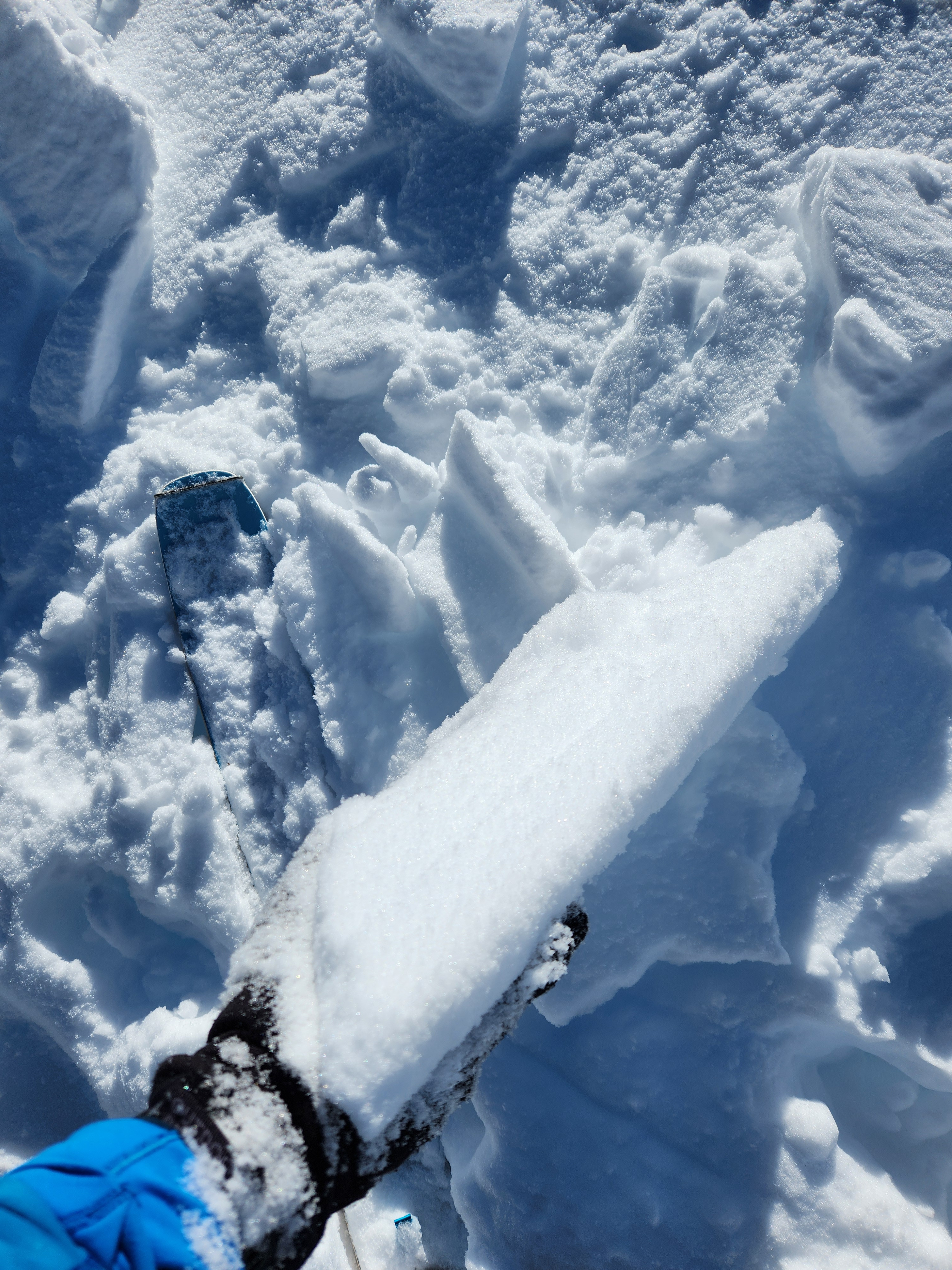
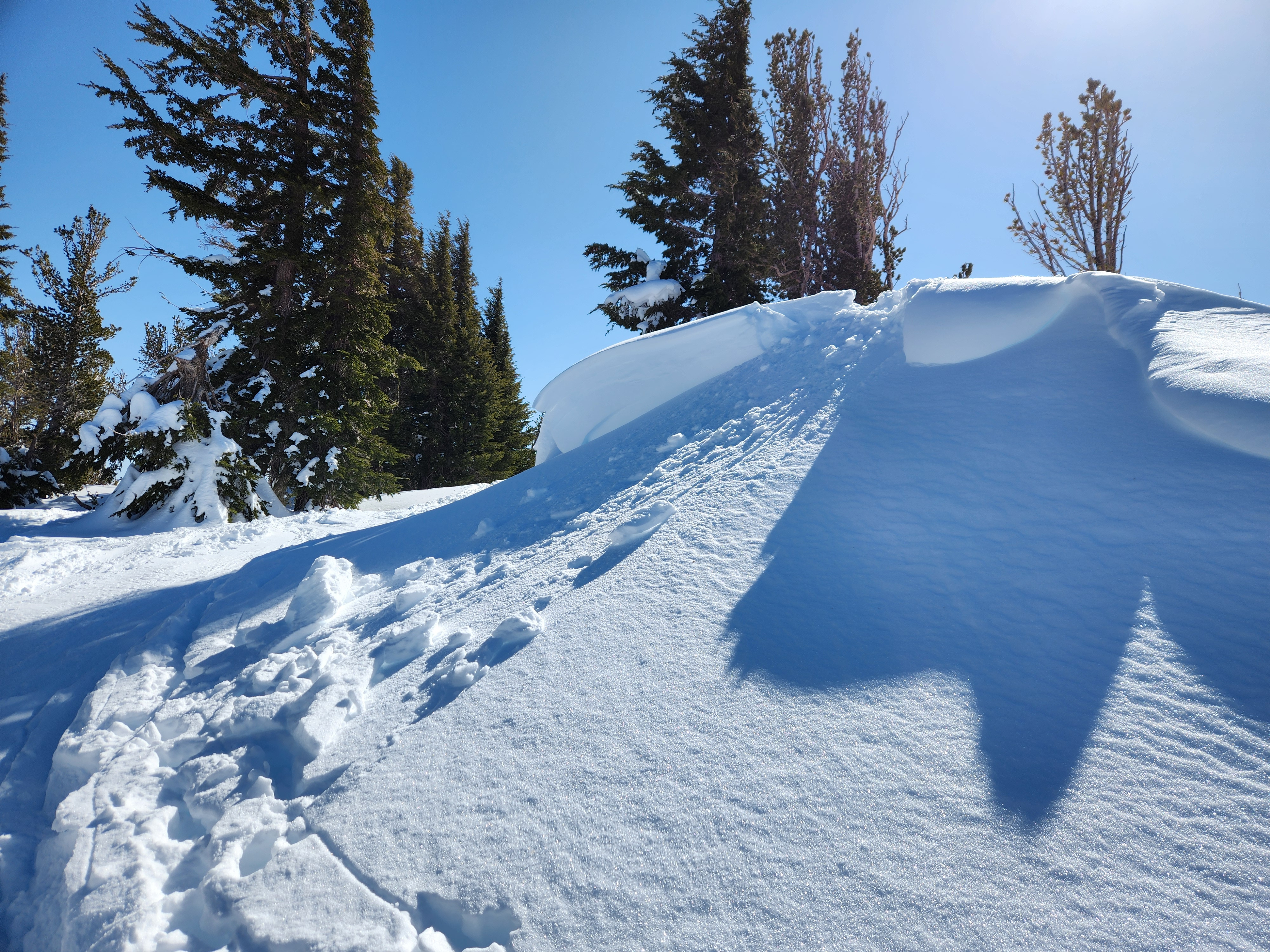
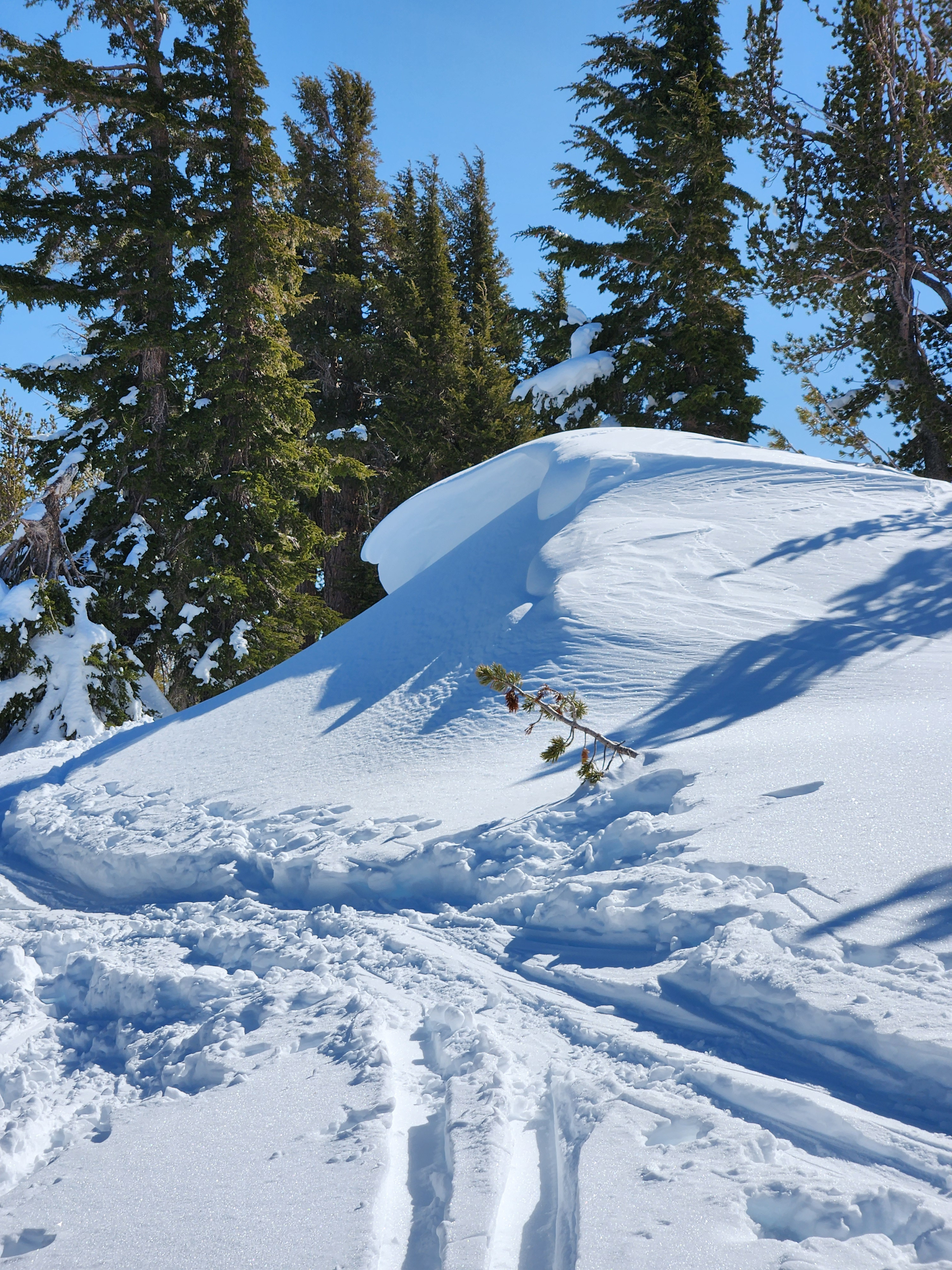
I observed effects of wind activity during the past few days. On Wednesday, there were many small cornices on the peak ridge of Waterhouse, all resulting from SW winds (see Picture 1). When I stomped on a couple of them, a pretty thin layer, about 7 cm thick, broke off fairly easily, but the layer's pieces mostly crumbled as they tumbled down the small hill (see Picture 2). They were like butter cookies. Picture 3 from today is the same cornice as Picture 1. Today, I stomped on a couple more small cornices, including the one in Pictures 1 and 3, and a much more consolidated layer about 14 cm thick broke off and tumbled down in larger pieces (Picture 4). Picture 5 shows the approximate size of the layer, about 14 cm. On the underside of the large pieces was surface hoar/faceted snow (Picture 6). It appears that the upper layer of the snow strengthened and consolidated into a layer over the last three days, while the underlying faceted snow remains weak. I jumped on a couple of small cornices on the ridge on Wednesday, February 21 and then again today and noted the differences.
Weather
- Air Temp
- Mid 40's
- Cloud Cover
- clear
- Wind Loading
- moderate
- Snow Avail For Transport
- moderate amounts
A warm and beautiful day. Very warm in the afternoon, and the snow was definitely getting heavier as the afternoon wore on.
Snowpack
14-20 cm of new snow becoming compacted by warm temperatures.