
Quick report
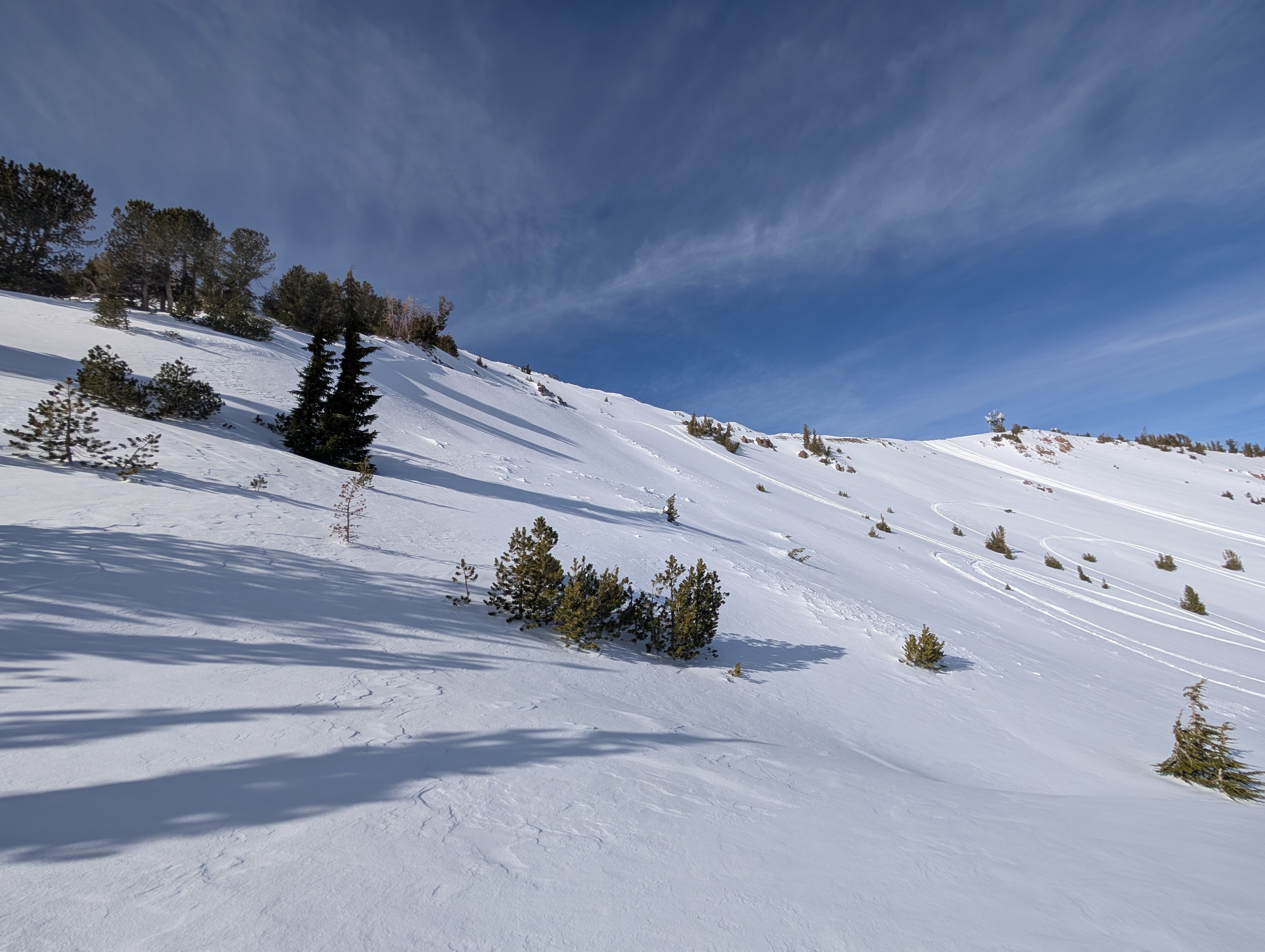
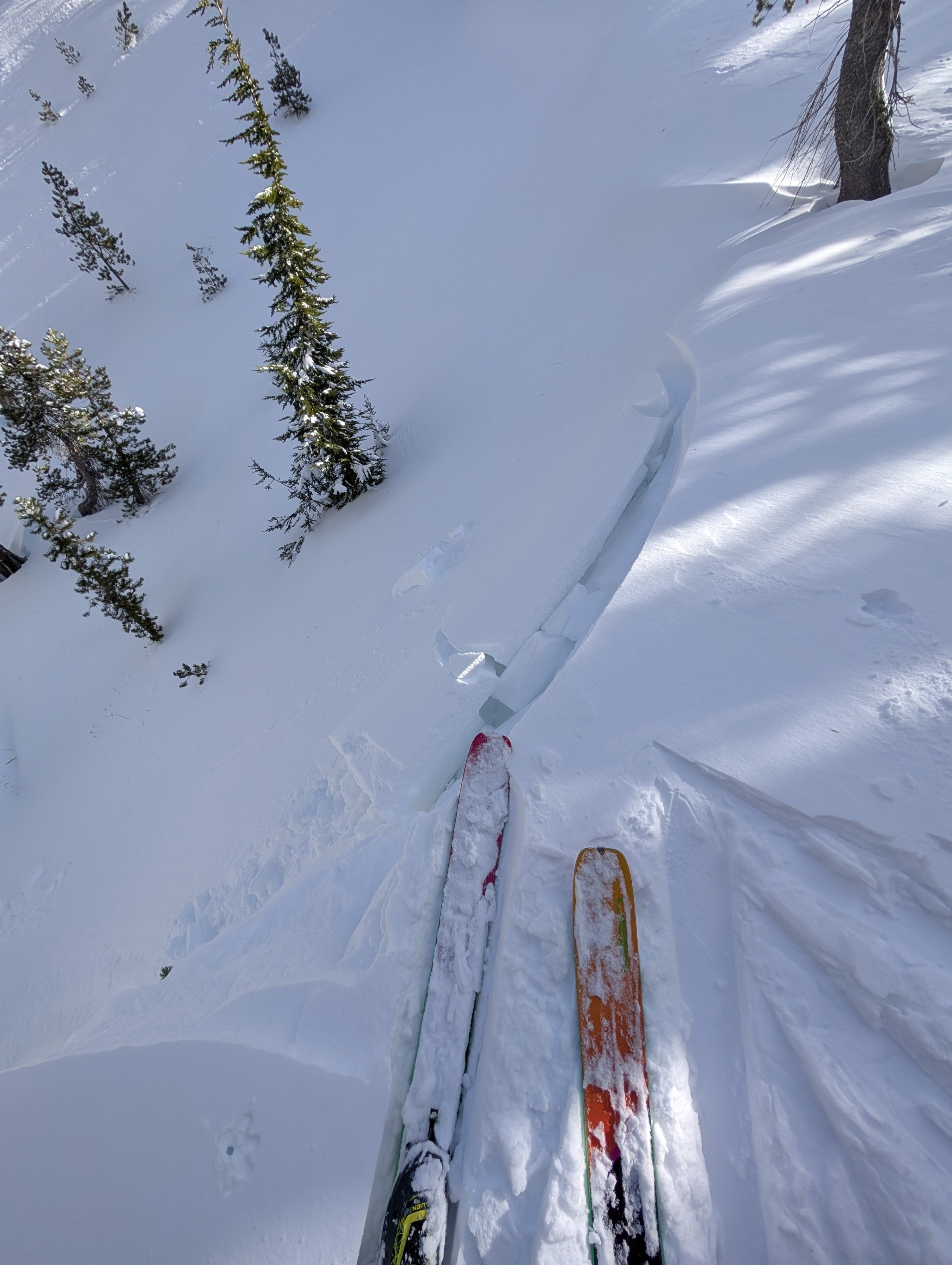
Today, we returned to Relay Peak to look at the human-triggered avalanche from 12/15/24. During our approach, we visited several test slopes that had weak snow on them before this storm. We kicked them; we dropped cornices on them; we jumped off our skis and plunged our feet through the recent snow into the old snow near them. None of these things produced any signs of lingering instability.
When we got up to the avalanche, it had almost been filled in by new snow and drifting snow from yesterday. We also saw numerous snowmobile and ski/snowboard tracks from today that had not triggered additional avalanches in similar terrain. We dug into the snow and found that the avalanche failed on the old snow below the recent storm snow. We also found that this old snow and the storm snow had gained strength since Sunday.
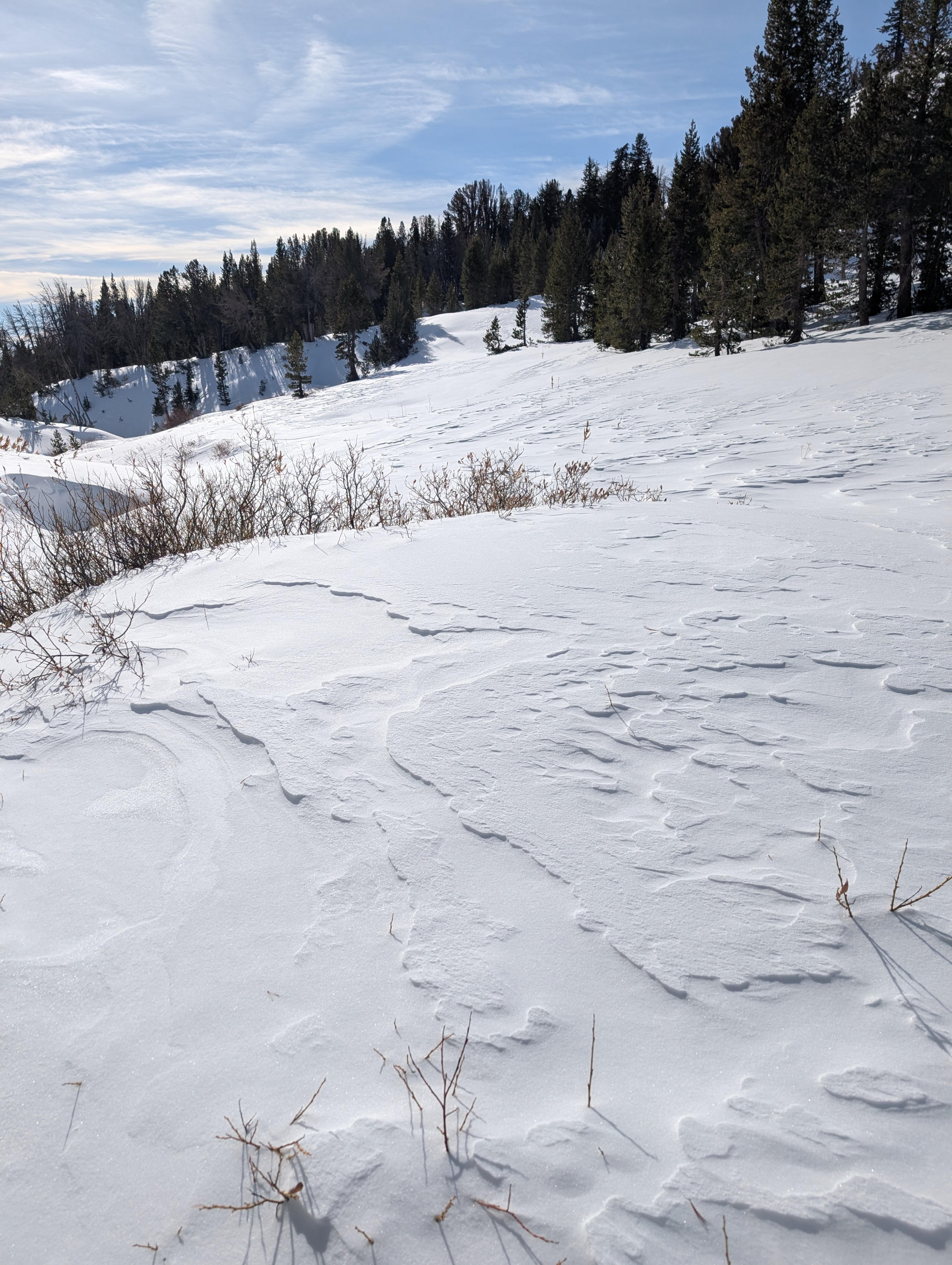
The NE winds remained moderate to light. We only saw intermittent small bursts of blowing snow along the ridges. Still, the combination of these NE winds and yesterday's gale-force winds left wind-affected snow surfaces on any open slope at all elevations in this area. We did not see any signs of rain in this area, but we stayed above 8500 ft today.
Weather
- Air Temp
- 28 °F
- Cloud Cover
- clear
- Wind Loading
- moderate
- Recent Snowfall
- 10 cm
- Snow Avail For Transport
- moderate amounts
It was a clear, sunny day with light to moderate NE winds and minor amounts of snow blowing near the ridges.
Snowpack
The snowpack consisted of 2-3 feet of recent storm snow resting on top of old snow layers. Tests and observations indicated that the entire snowpack is gaining strength.