
Quick report
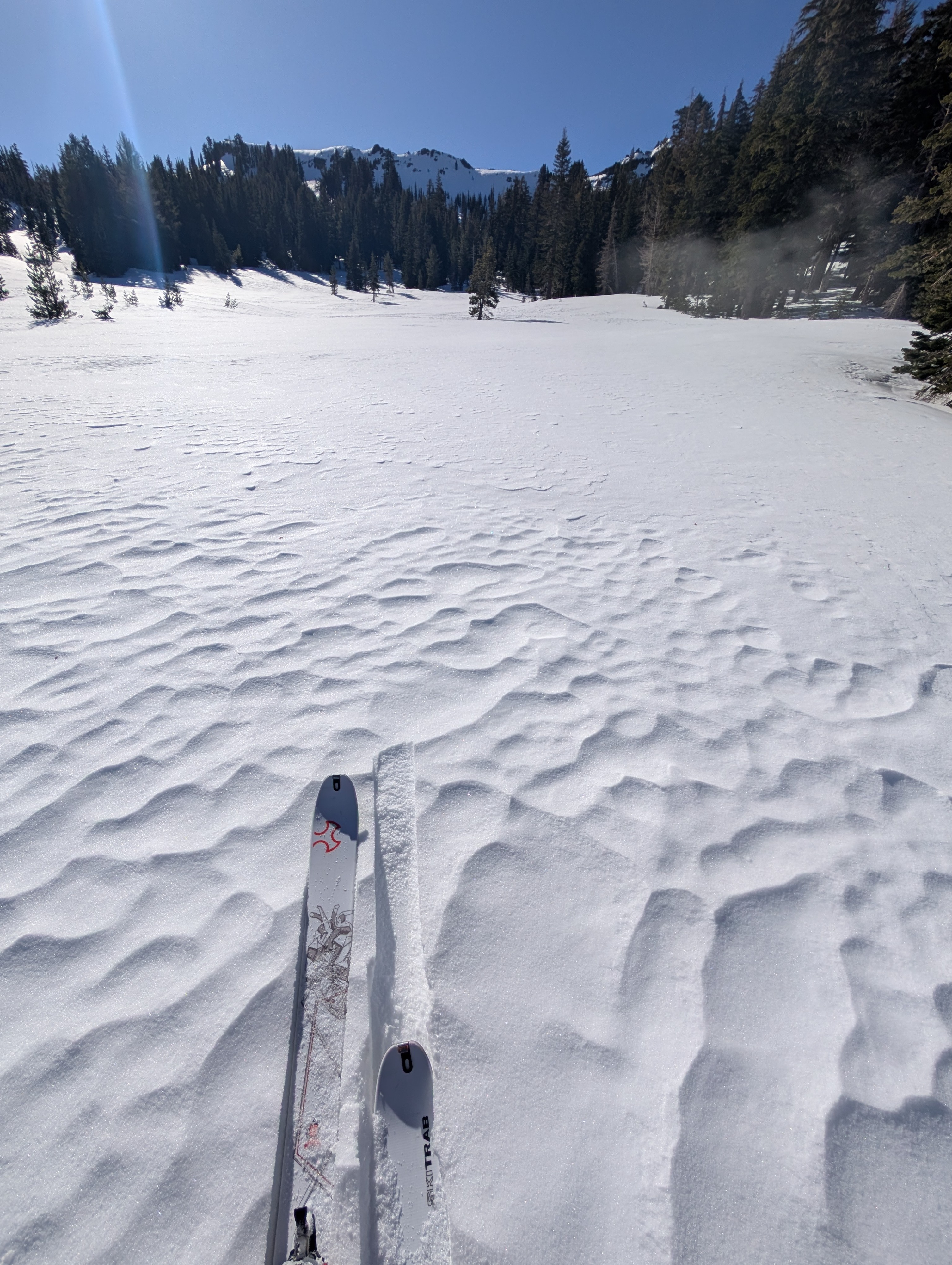
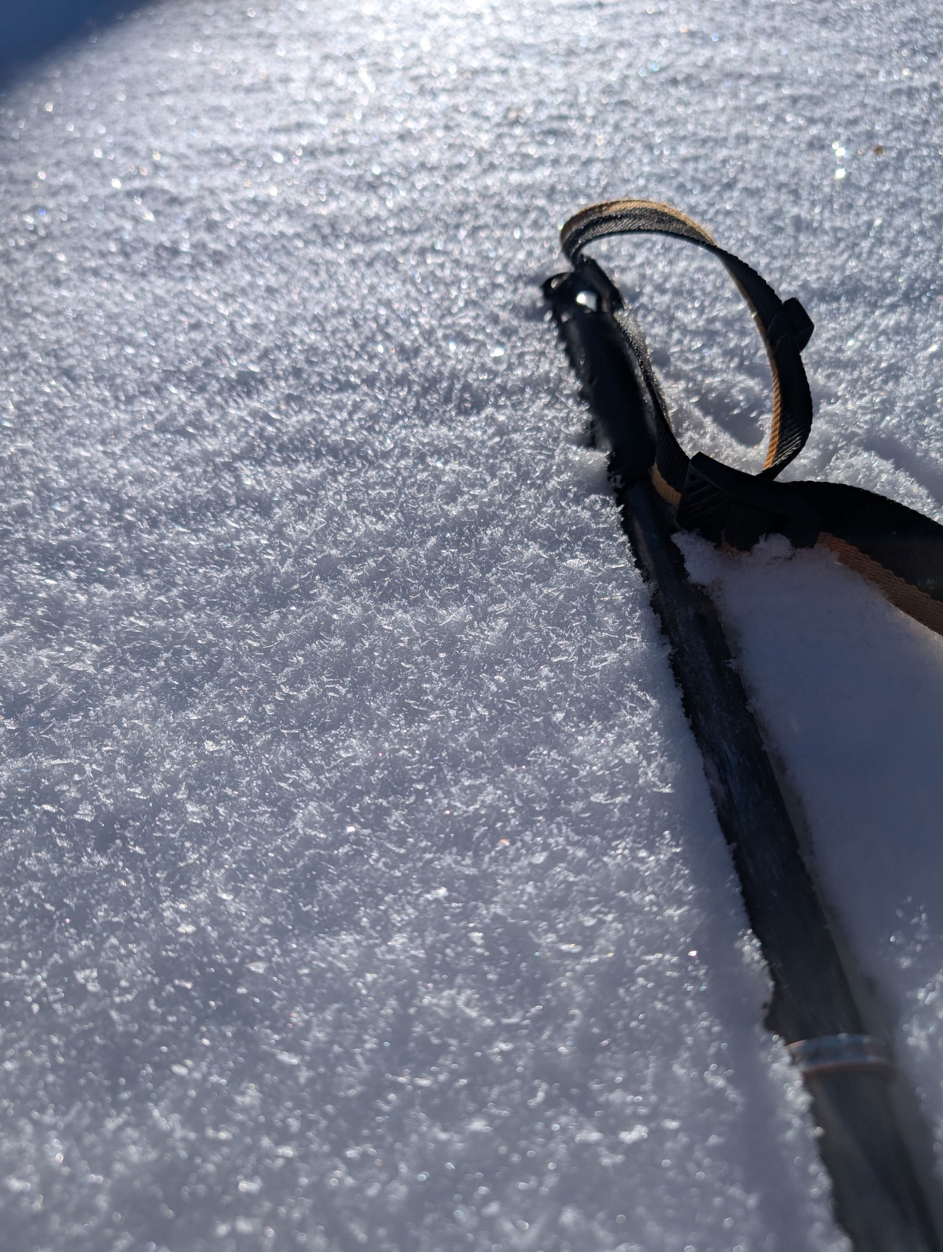
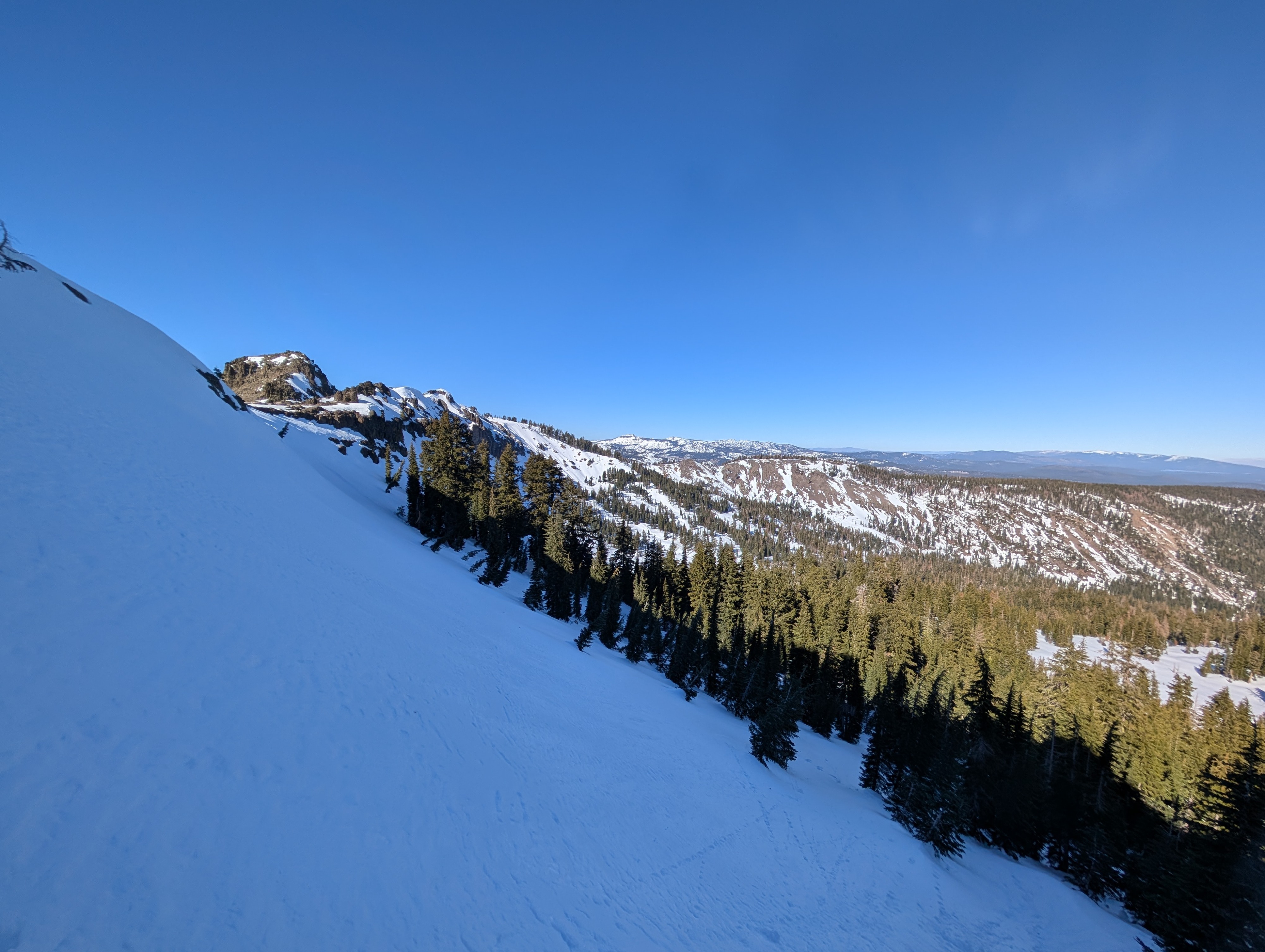
Snow totals from the weekend storm did not amount to much in the Deep Creek area. We found some areas with up to an inch of new snow, but others only had a trace. This new snow did not cover up previous snow surfaces. Soft, weak snow still lingered on sheltered N-facing slopes. More exposed areas had variable conditions, including wind-scoured surfaces, crusts, and wind-carved features. Some of the surfaces have also started to facet and get softer. While we saw plenty of potentially weak snow on icy bed surfaces, we still lack a slab on top of the weak snow.
Weather
- Air Temp
- 28 °F
- Cloud Cover
- clear
Snowpack
The snowpack consists of soft, weak surface snow (facets) resting on alternating rain crusts and softer snow. The near-surface facets are weak and may break under future snow loads. Tests targeting the weaker snow between the rain crusts below the surface did not produce unstable results.