
Quick report
- Cracking
- widespread
- Collapsing
- widespread
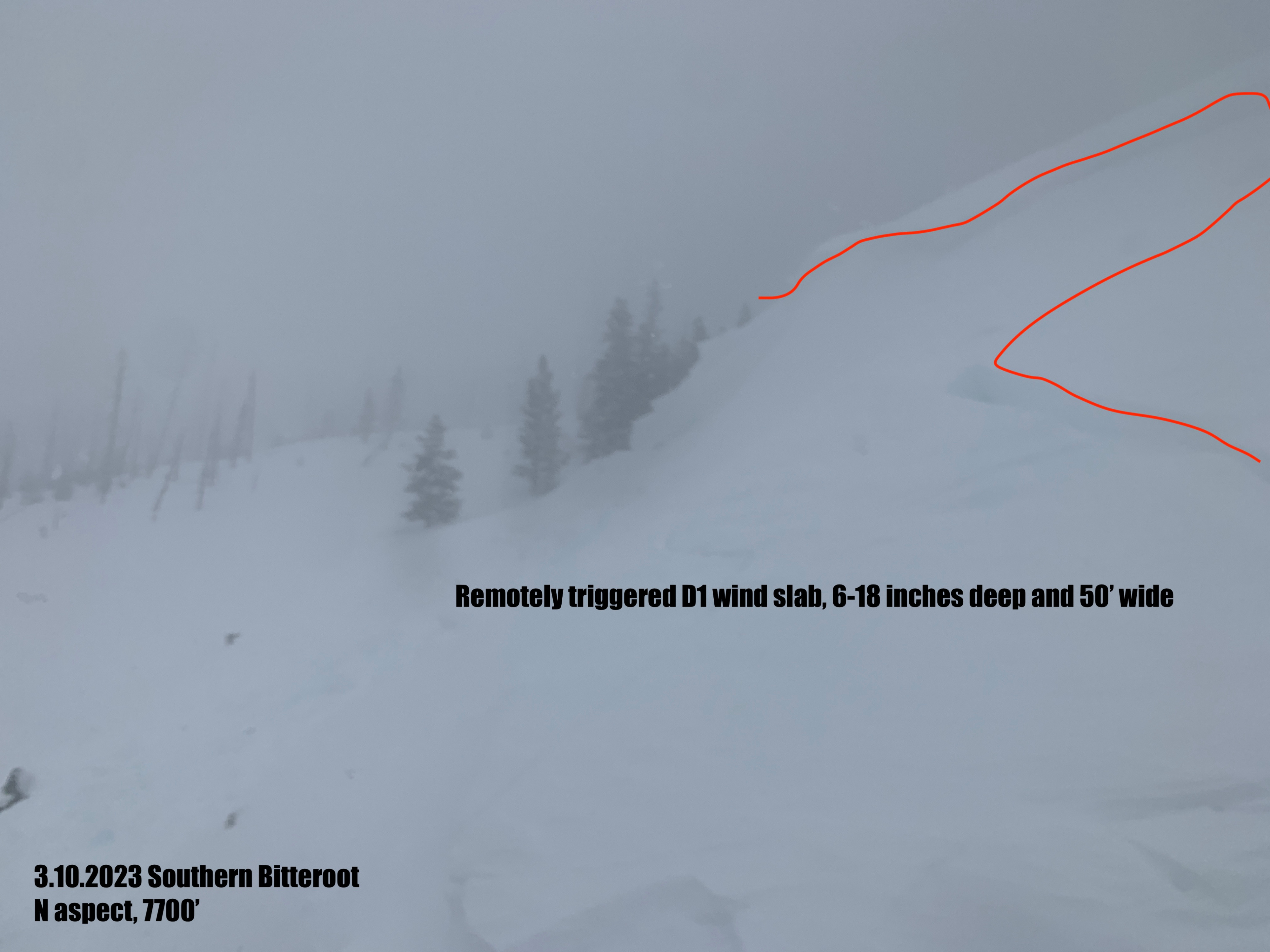
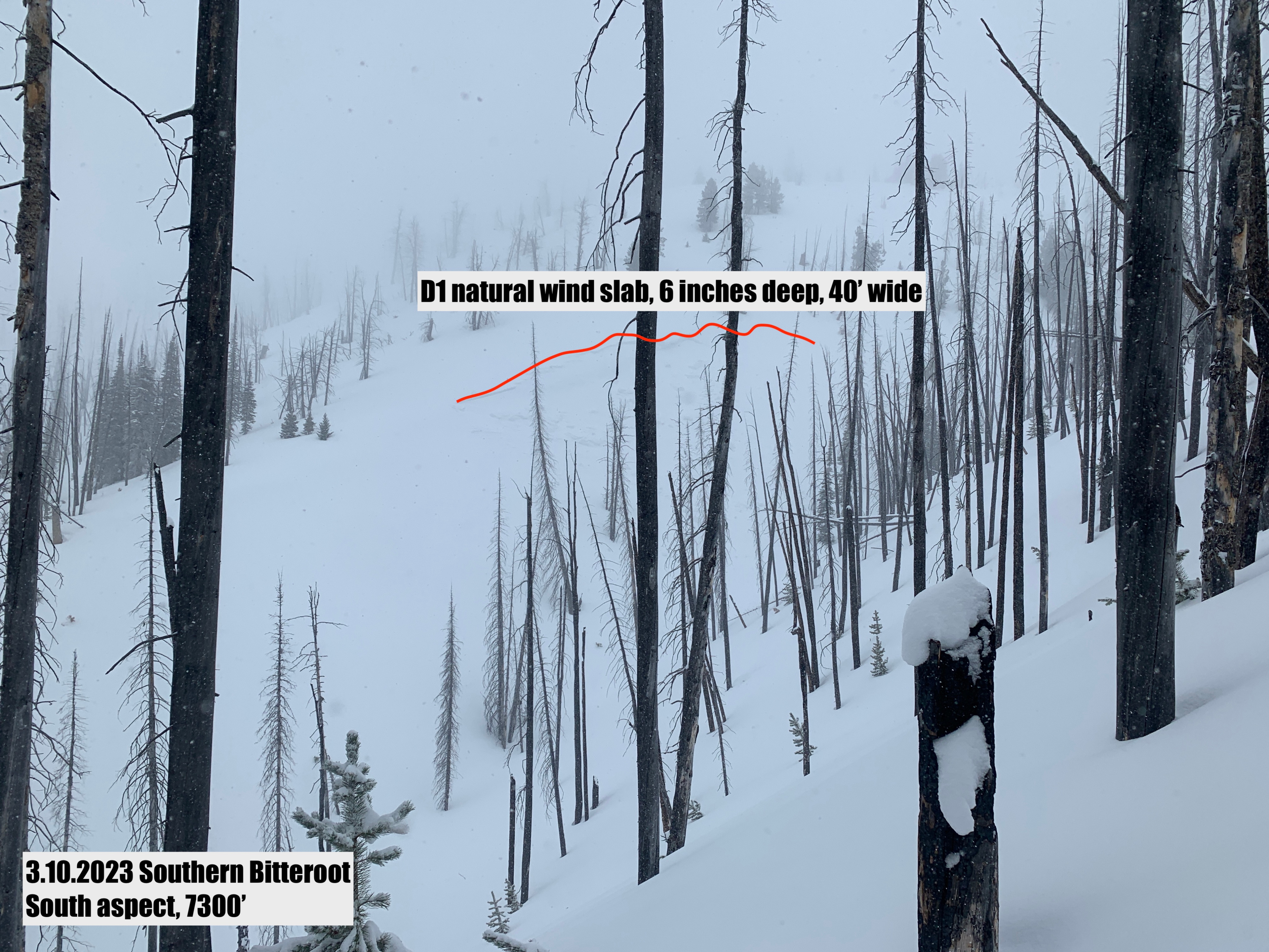
Very touchy wind slab 6-12 inches deep. Easy to trigger on rollovers and test slopes. One natural avalanche observed mid slope on a cross loaded subridge. Visability was very poor and I suspect there were more natural avalanches hidden from view.
Weather
- Air Temp
- Mid 20s
- Cloud Cover
- overcast
- Wind Loading
- intense
- Rain Elevation
- n/app
- Recent Snowfall
- 3 inches
- Snow Avail For Transport
- moderate amounts
Strong to very strong southwest winds. Tree snapping winds along ridgelines. We found 8cm (3.1 inches) next to the SNOTEL at 1100 which was reporting 3 inches of new snow at the time. By the end of our field day, new snow totals were 5-7 inches total. Mid day visability was less than 100 yards in open areas. At 1500 hrs, the storm left and skies turned blue but the wind remained. Strong flagging off all exposed peaks and evidence of wind transport through mid elevation along highway.
Snowpack
We dug a full depth pit in sheltered terrain and did not find any layers of concern within the snowpack. All instability is isolated to within the new snow and associated wind slab. Fresh wind slab was forming on all aspects as the winds moved around terrain features. With how strong the winds were blowing I suspect it is gouging into old snow and more than 6" was available for transport.