
Quick report
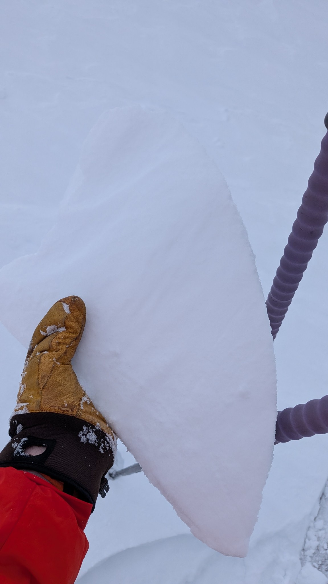
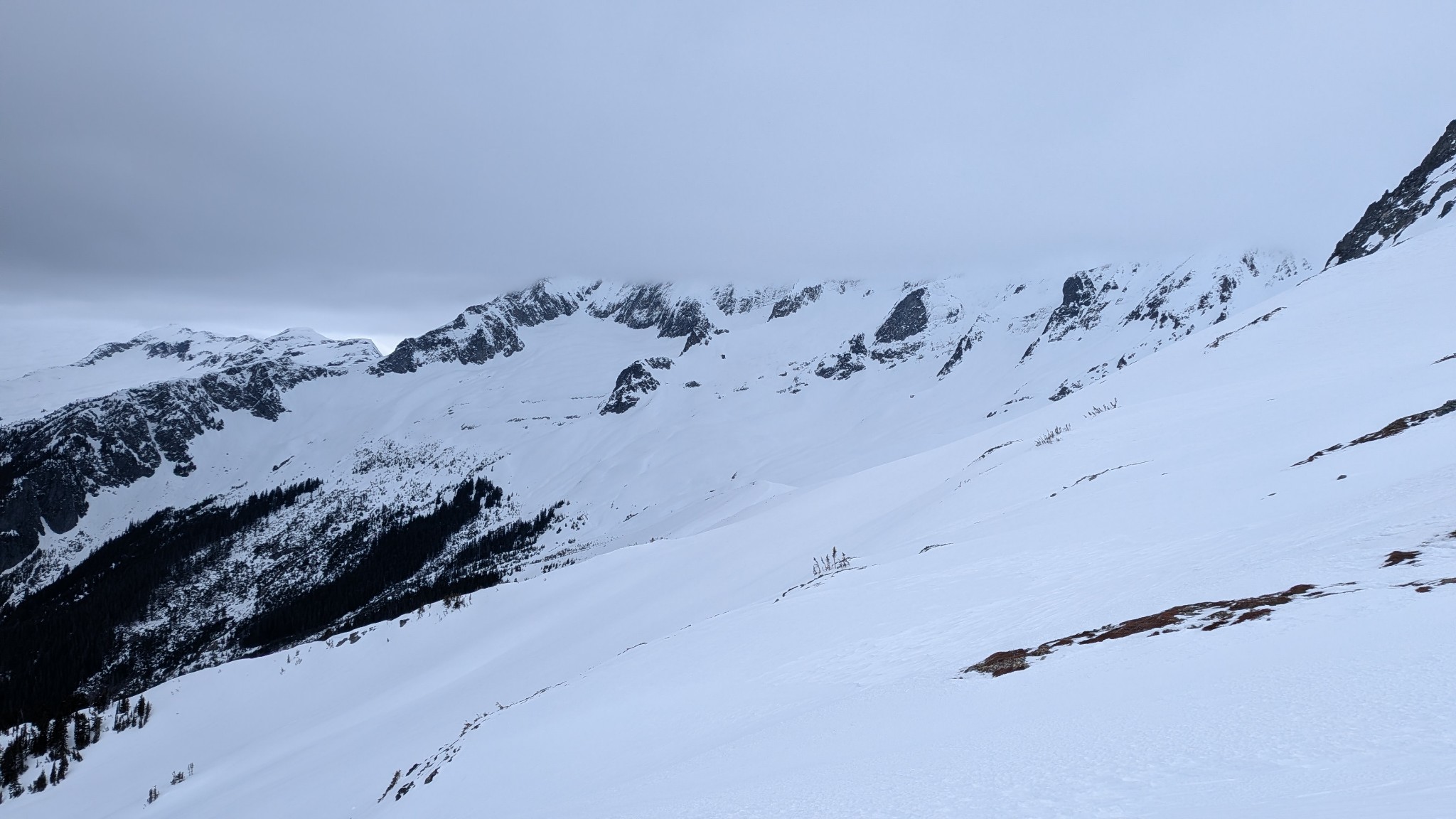
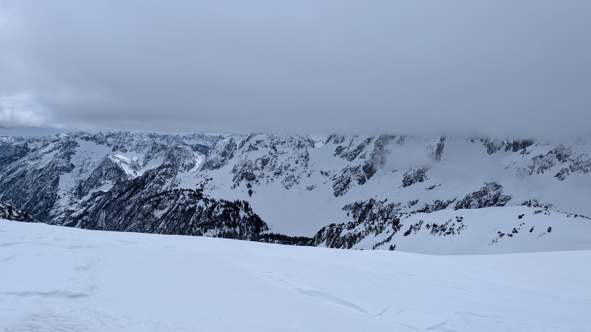
We observed much less snow than anticipated. Likely 2-4" since Wednesday, although due to wind, the snow surface was highly variable, in places scoured down to the previous melt/freeze crust and in places drifted to 6-8" deep. Nowhere did we find a drift more than 8" deep, even in protected gullies in Boston Basin. All aspects were highly variable, but north aspects appeared most wind loaded. Wind/sun crusts were ubiquitous as well, travel and ski conditions were poor, and by 11am the cloud deck was ~7500' and by 2pm it started precipitating on the road walk back to the car.
Avalanche
- Size
- D2.5
- Type
- WS
- Aspect
- N
- Trigger
- N
- Elevation
- 6000 ft
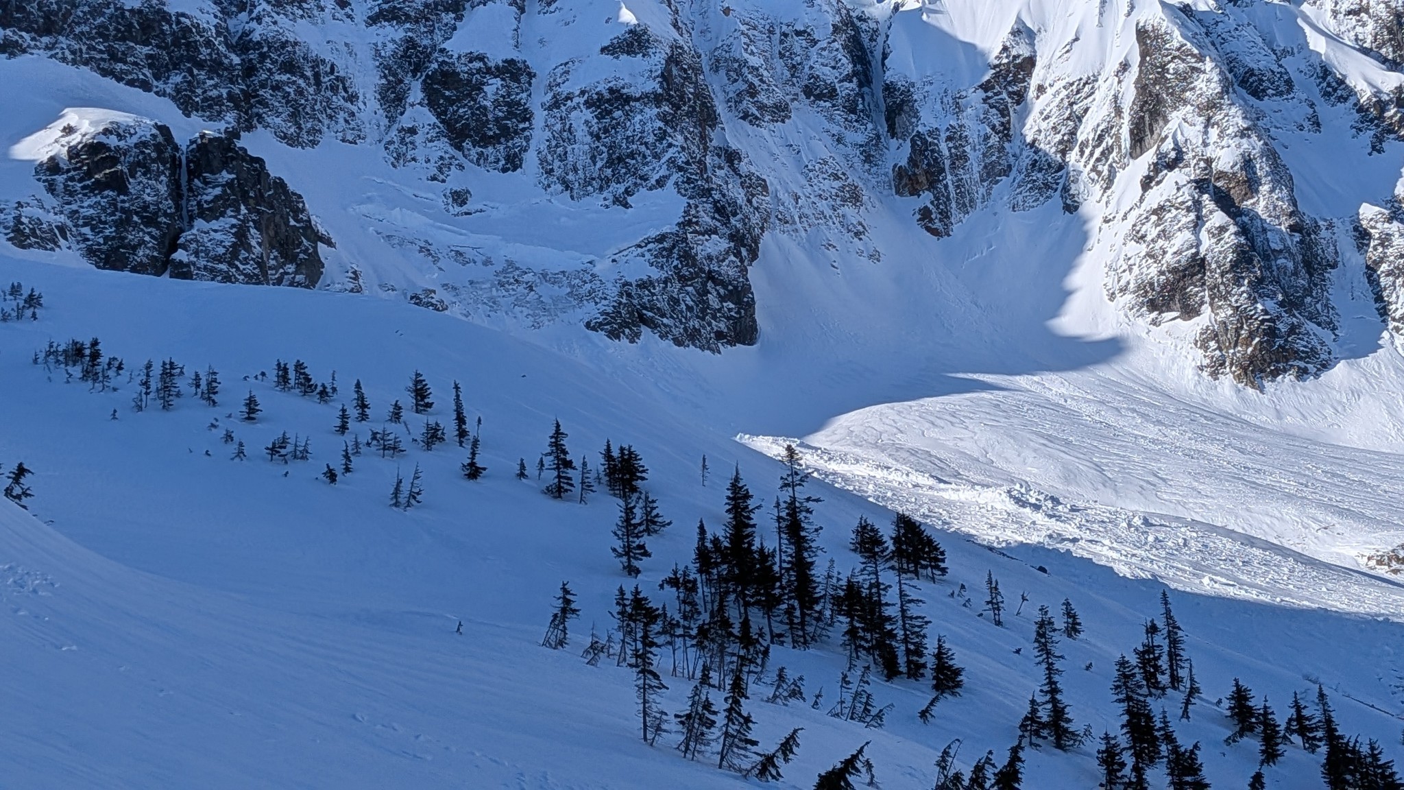
Glide avalanche that likely ran during the 3/25 rain event adjacent to the apron of the first mixup couloir. Additional glide cracks still visible above the crown.