
Quick report
- Cracking
- widespread
Today's tour was to Peagravel Ridge to get a sense of how all the storm snow from the last few days has settled, especially with the influence of heavy winds. The snow was wet and dense at lower elevations, which left us with little hope for good skiing ahead. Once on the ridge, we found an elevation sweet spot somewhere between 5,200' and our high point at 6,000'. We were high enough that the 2-degree drop in temperature kept the surface snow light but not quite high enough to be above treeline where the wind could turn the dry snow into a wind-slab. This narrow elevation band provided pretty good ski quality on both east and west aspects.
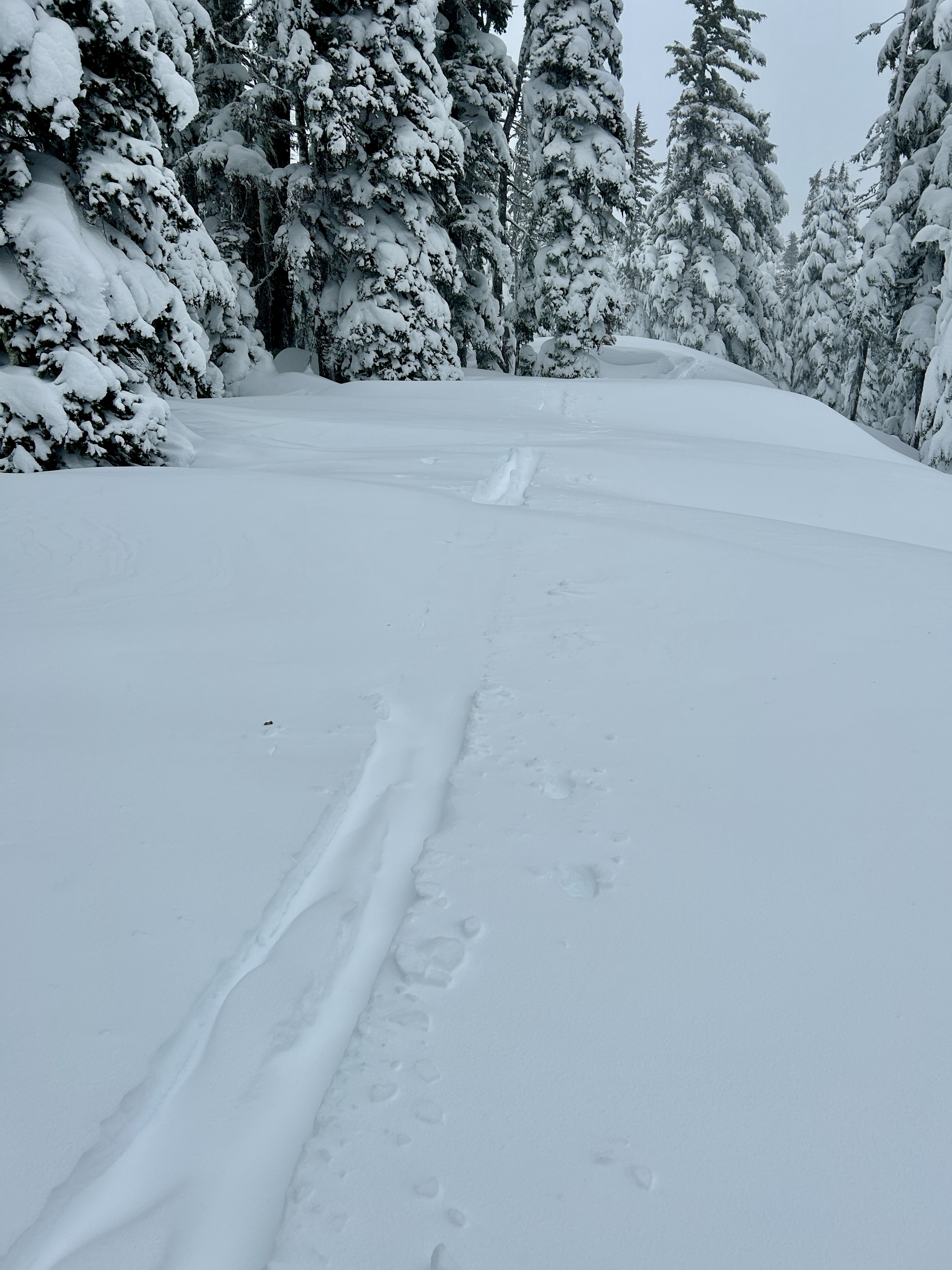
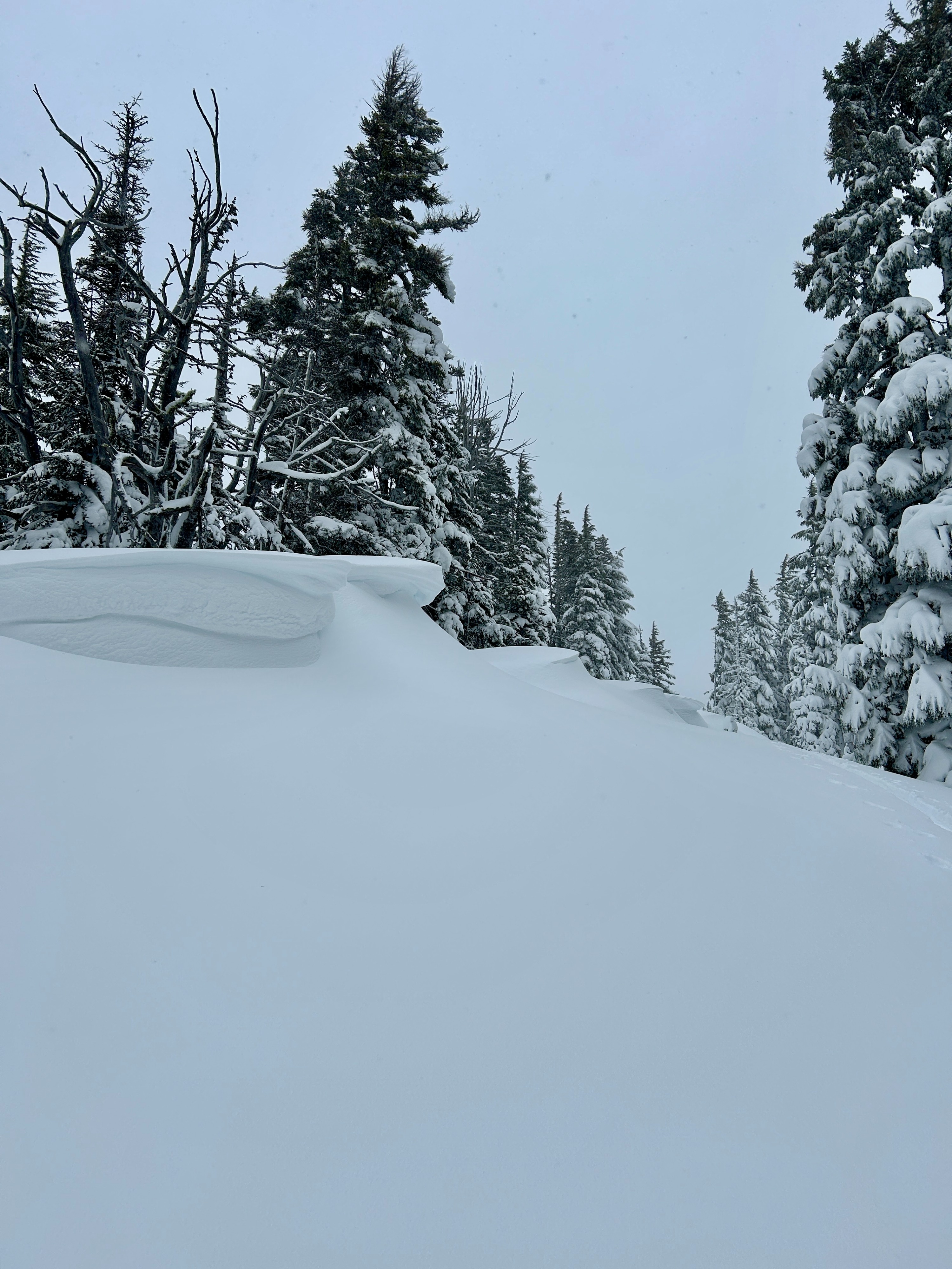
However, there was still plenty of evidence of wind-affected snow below treeline. Cornices had formed on the ridgeline and heavy amounts of snow were transported when it gusted. We followed a skin track from a party that was about an hour ahead of us and portions of their track had been filled in by blowing snow.
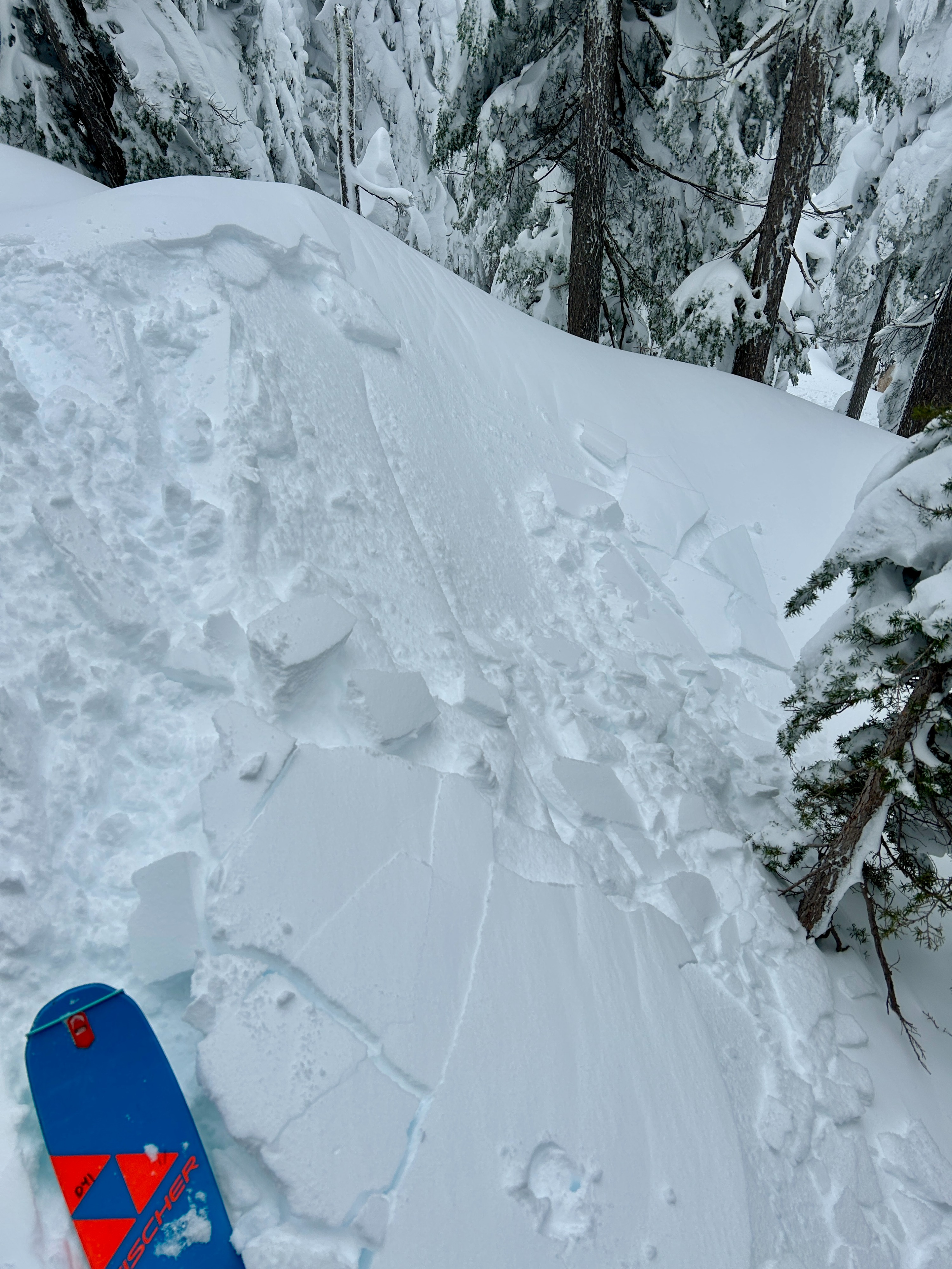
As we neared treeline, we found touchy, hard, and progressively deeper wind slabs on both the west and east aspects. We quickly decided that an exit lower on the ridge and well below treeline would provide safer and more pleasant ski conditions.
The snow surface became denser and more clearly wind-affected as we approached treeline. Shallow wind slabs became prevalent near treeline with associated shallow shooting cracks. Above treeline, the wind slabs were deeper and denser.Weather
- Air Temp
- 30
- Cloud Cover
- obscured
- Wind Loading
- moderate
- Recent Snowfall
- 20
- Snow Avail For Transport
- large amounts
It was just below freezing with moderate precipitation throughout the morning. The wind felt light from the west in Lower Heather Canyon runout but became moderate with heavy gusts as we gained elevation towards treeline. Precipitation tapered off around 11 am.
Snowpack
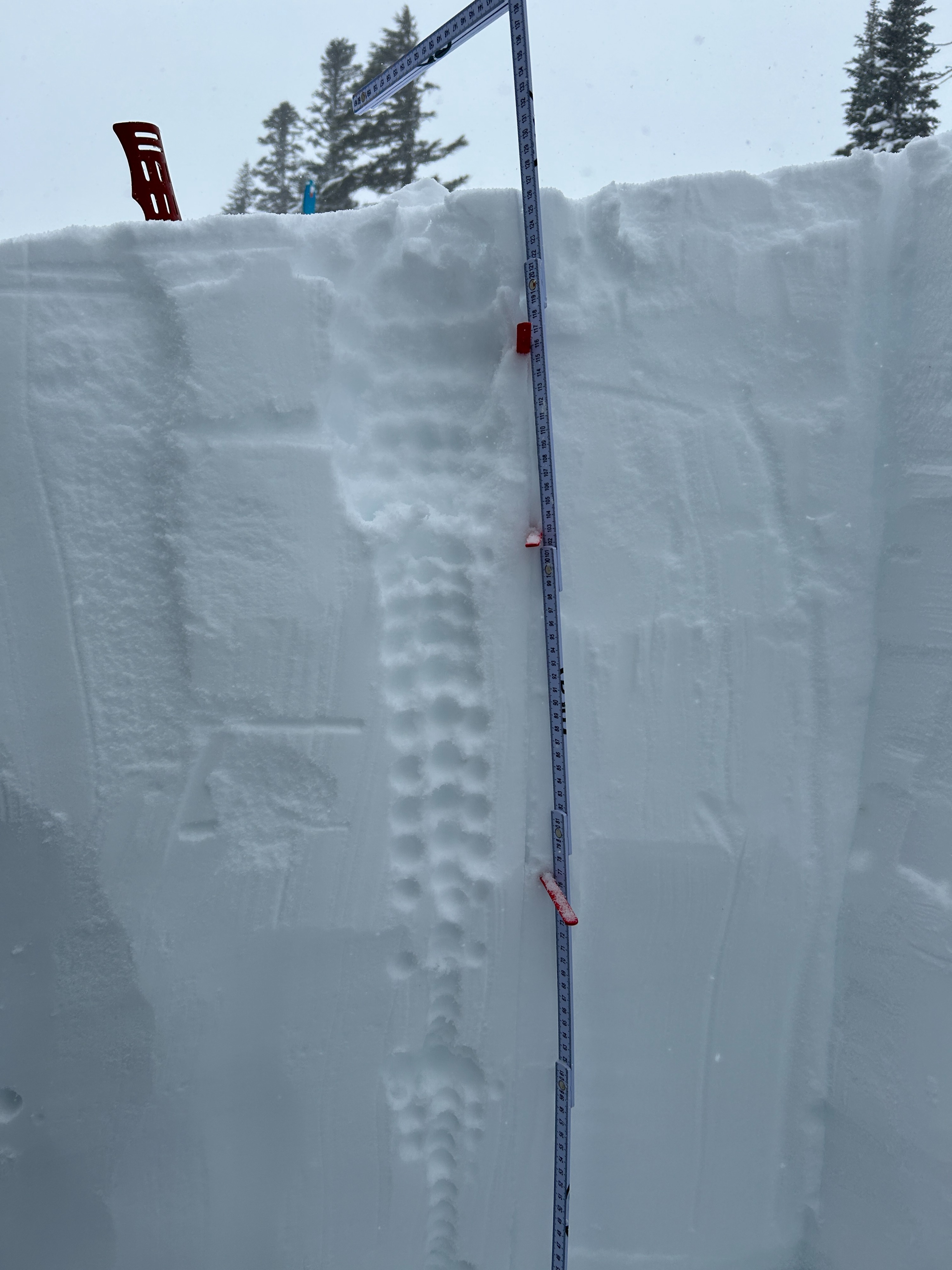
We dug a pit at 5,200' on an eastern aspect. Surprisingly, there were no signs of buried or surface-level wind slabs but we were below treeline in a well-protected area. We dug down to the Early February Crust (EFC), which was about 50 inches below the surface. 35 inches of that is storm snow that has fallen since Monday. The storm snow appeared to be right side up with the lowest density snow sitting on top of progressively denser snow, which is on top of a thick melt-freeze crust. Our snowpit tests showed weaknesses at the density changes within the storm snow but not at the interface between the melt-freeze crust and the storm snow from Monday. We found that the EFC and the crust above it are weakening in this location but there were no notable failures in this layer resulting from snowpit tests.