
Quick report
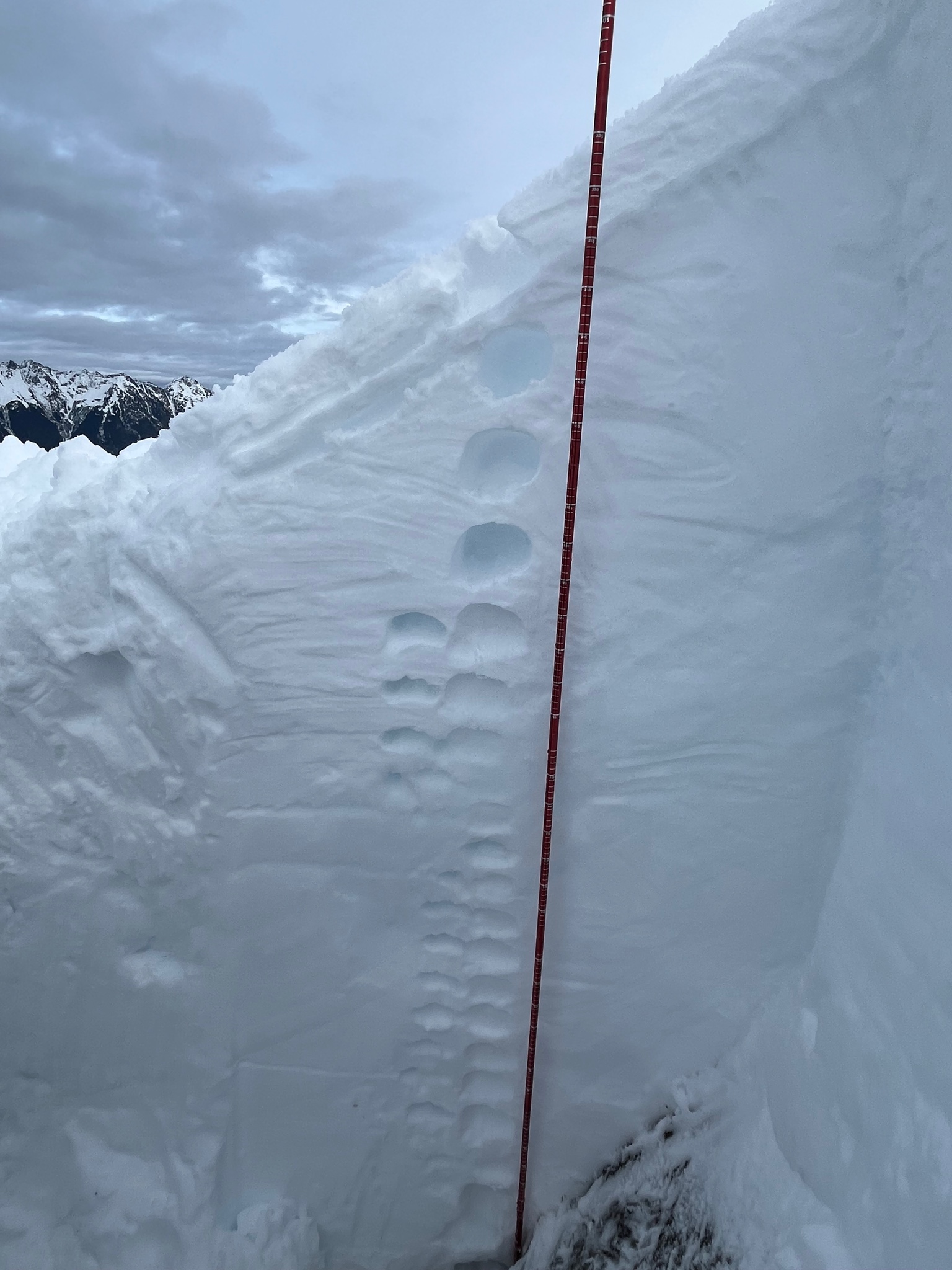
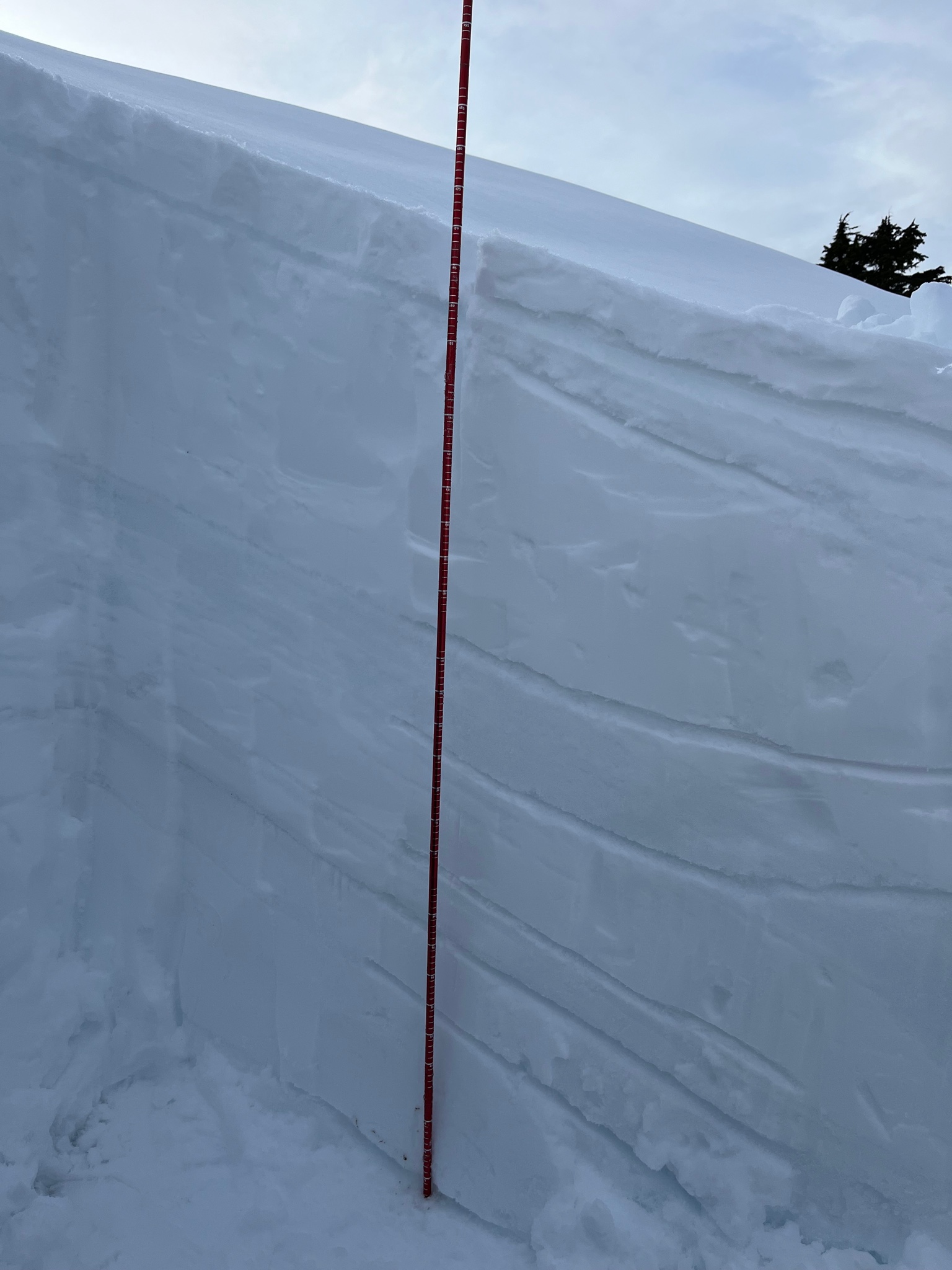
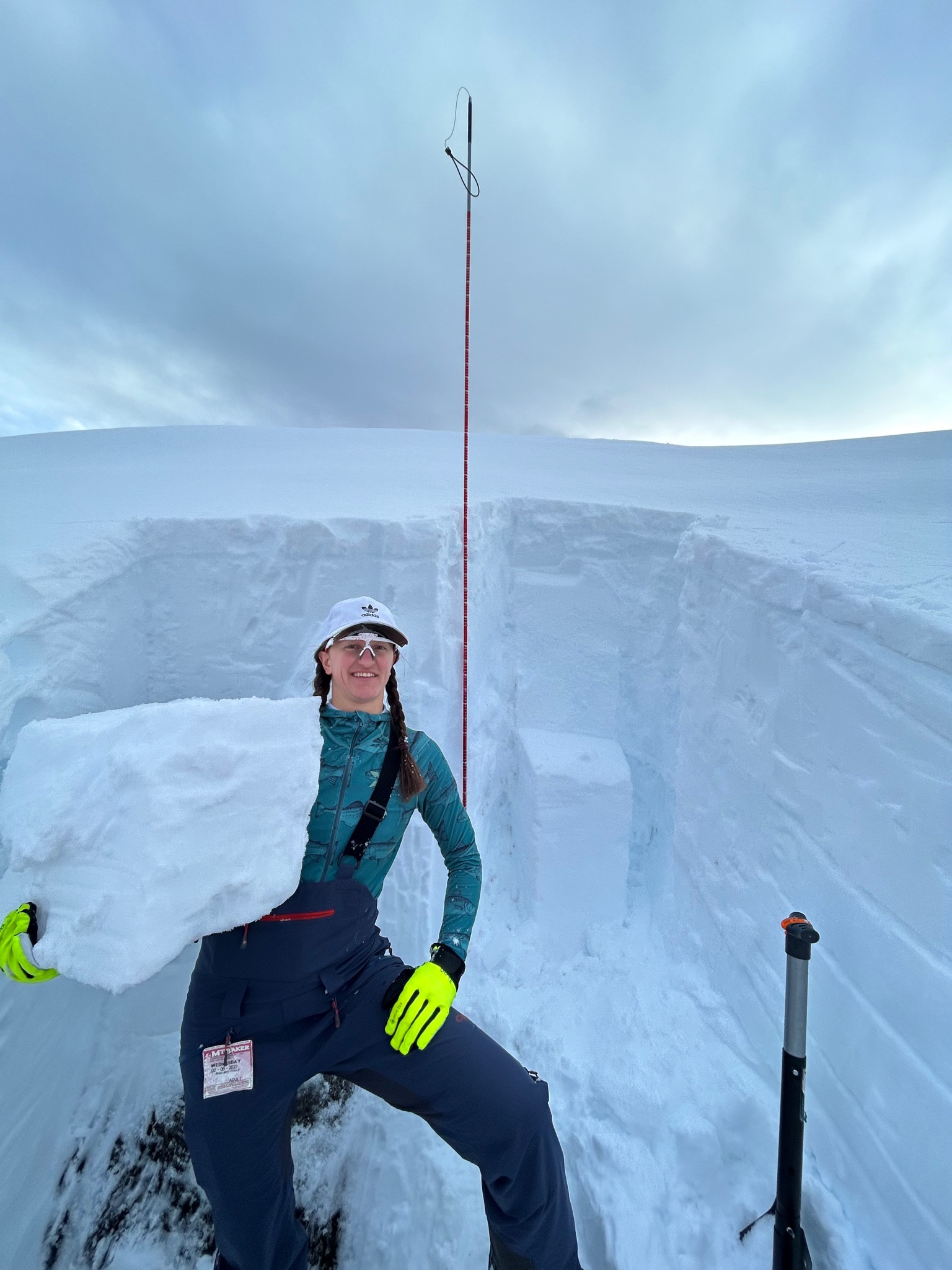
We dug a snow pit to the ground at 5,075 ft elevation on a N-NW slope between Artist’s Point and Huntoon Point. The pit depth started at 200 cm. There were visible crust layers seen in the pit (see picture). At 162 cm there was an identifiable crust that extended down 10-15 cm in the snowpack. This was felt while touring throughout the terrain today as a punchy layer when gliding with skis or planting poles. However, it did not react during our compression test. At 125 cm there was a change in the snow density from pencil penetration to 4F penetration. This layer proved to be resistant planar (RP Q2) during the deep tap compression test. The layer compressed during the arm taping phase of the test but did not fail. Although there was no visible sliding at that layer, a large block of snow was easily removed when going to test the layer below. This was identified as our weakest layer of concern. Grains appeared to be faceted rounded particles. Everything below that layer was well bonded and cohesive.
Avalanche
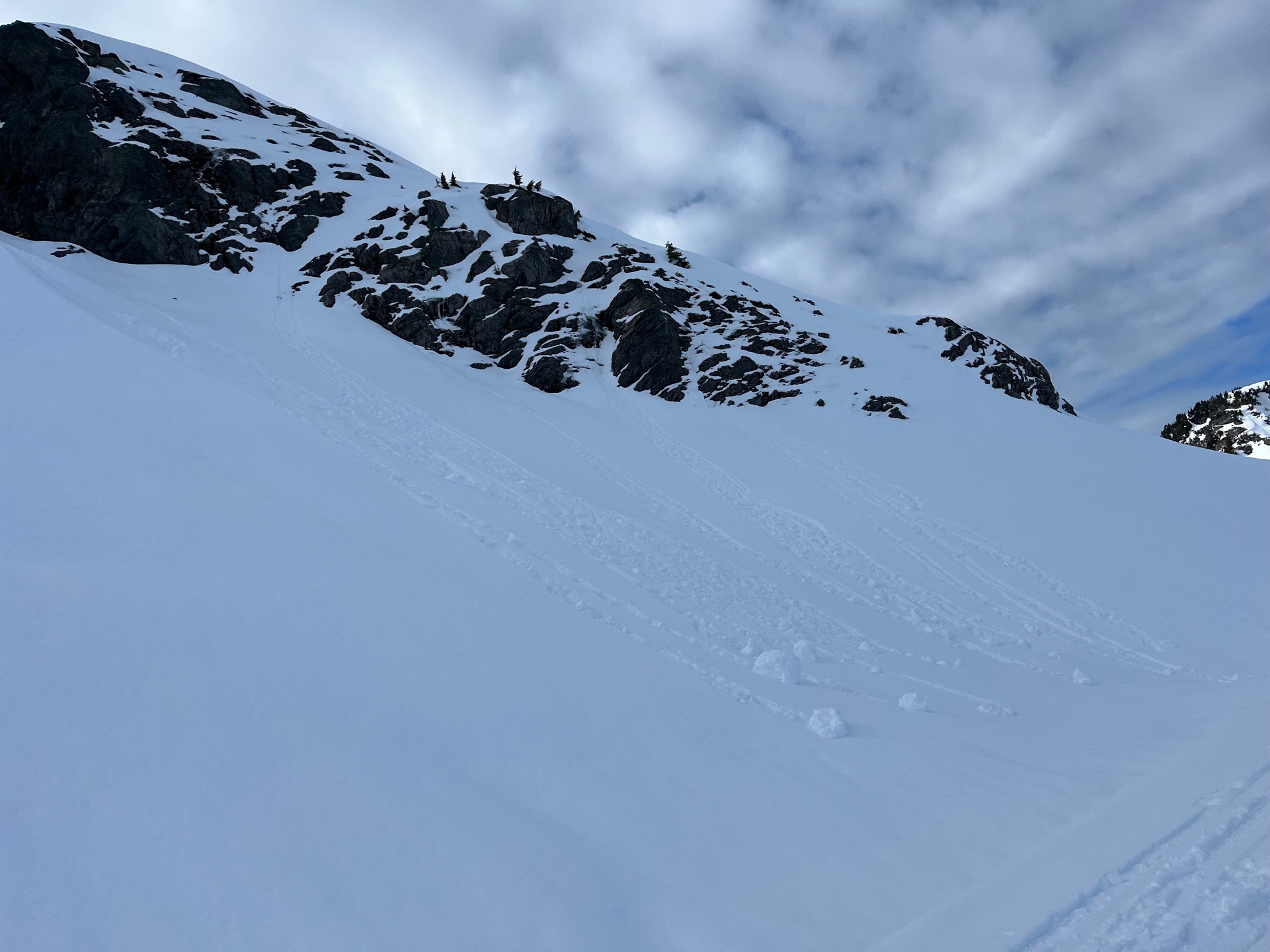
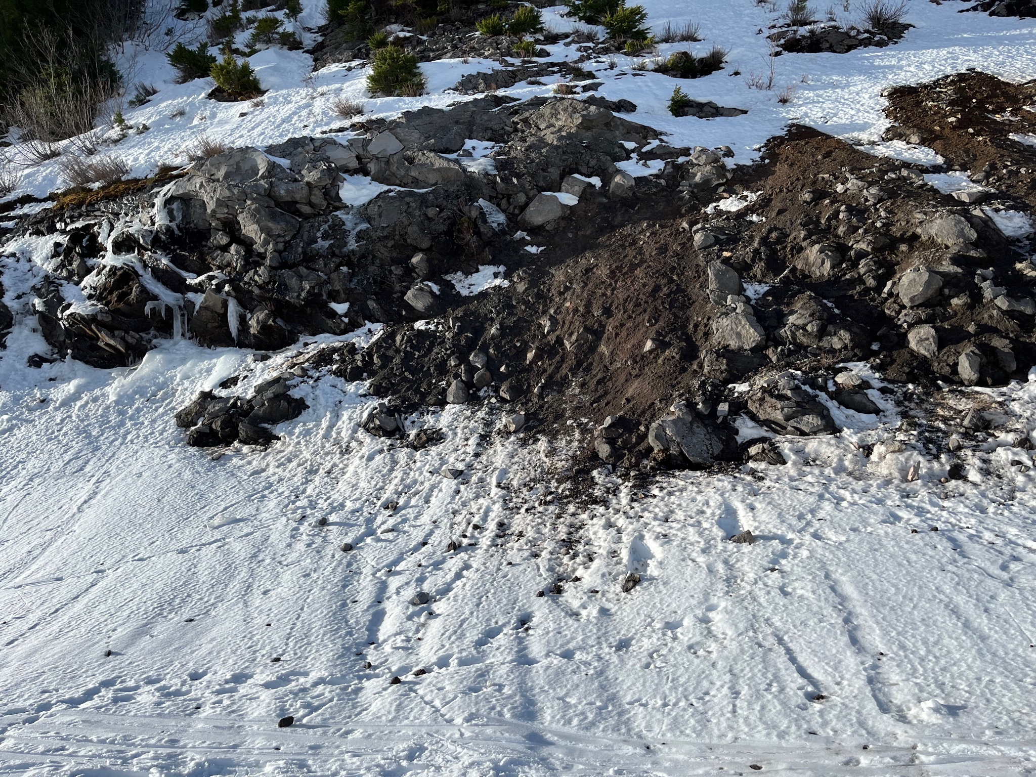
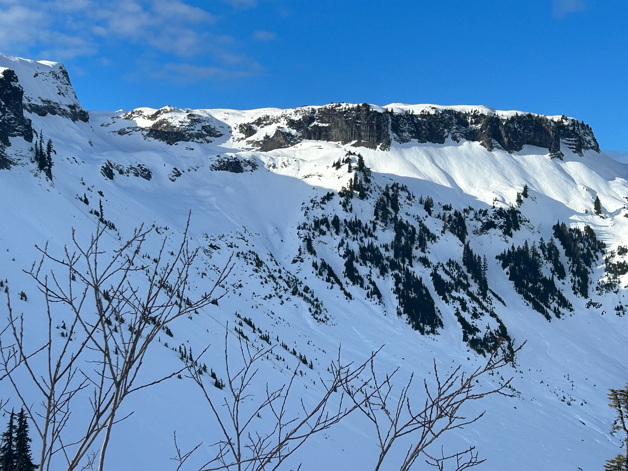
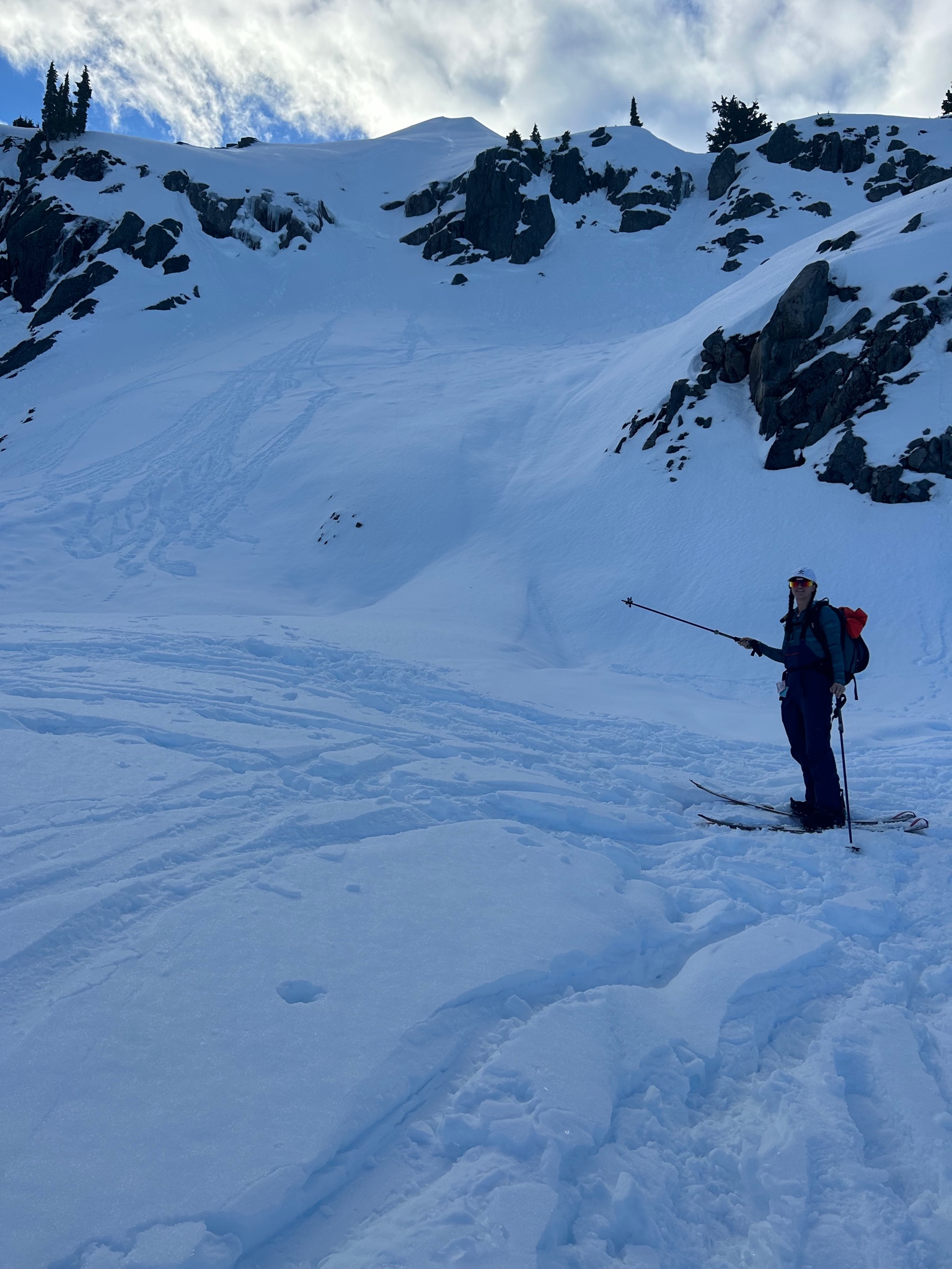
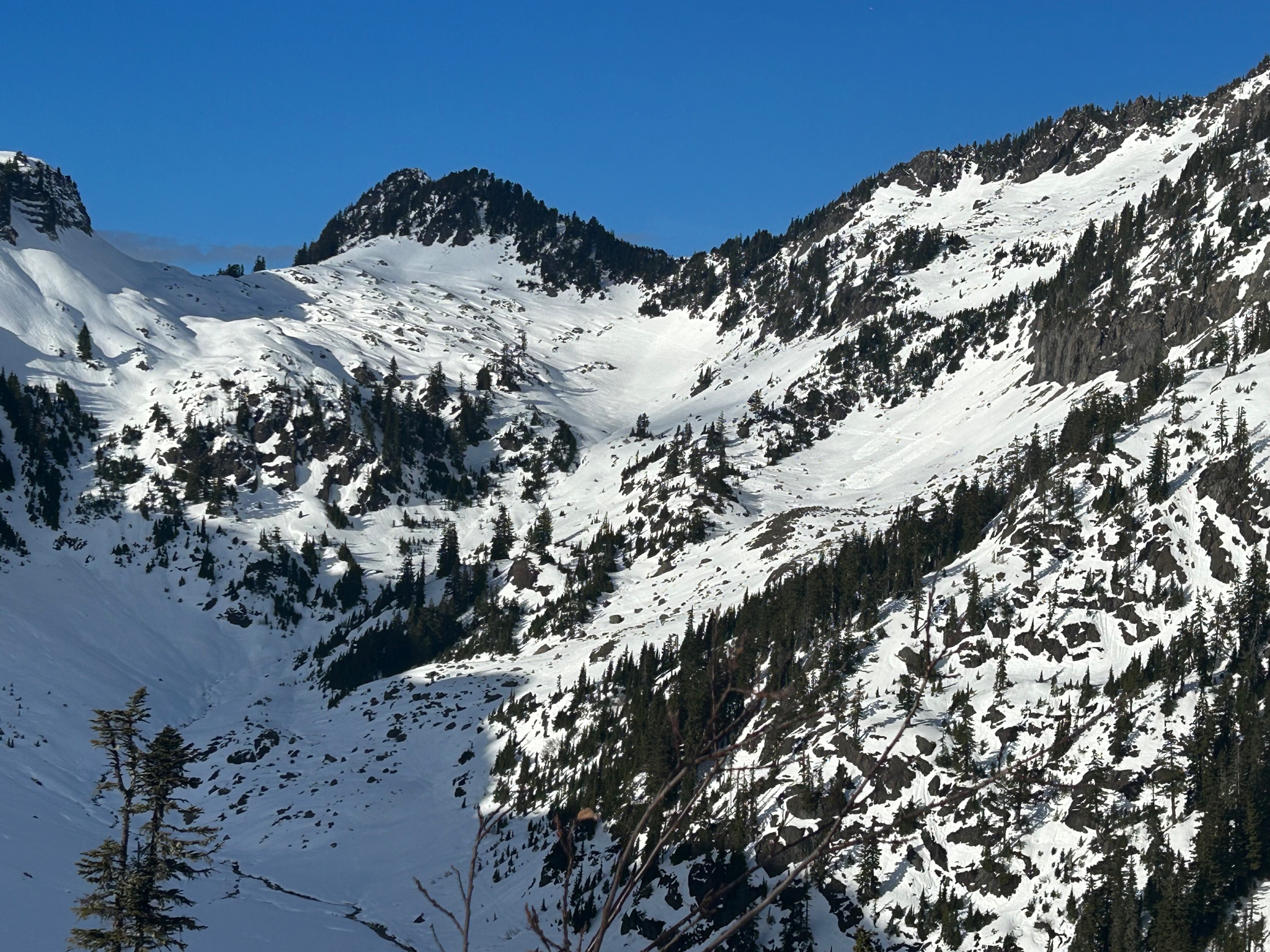
There were many signs of recent naturally occurring wet avalanches on S, E, and NE aspects in the Baker backcountry at 5,000 ft and below today. Most were fan shaped with roller-ball debris.