
Quick report
- Cracking
- isolated
Isolated pockets of wind drifted snow above 6000 ft.
Weather
- Air Temp
- 32
- Cloud Cover
- overcast
- Wind Loading
- moderate
- Recent Snowfall
- 0
- Snow Avail For Transport
- small smounts
The morning started fairly clear but quite windy. As the morning progressed, skies closed up and south winds ramped up. At my transition point at noon, snowfall picked up in the S2 range.
Snowpack
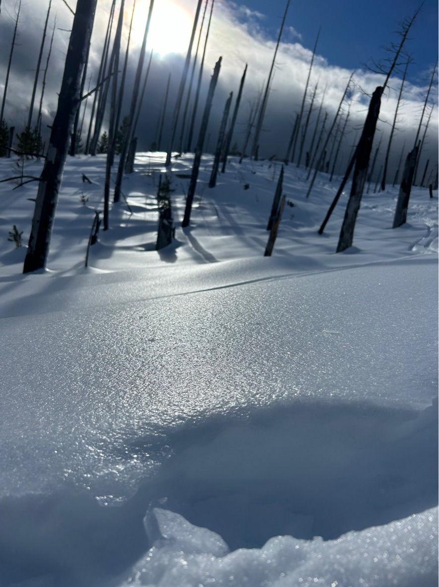
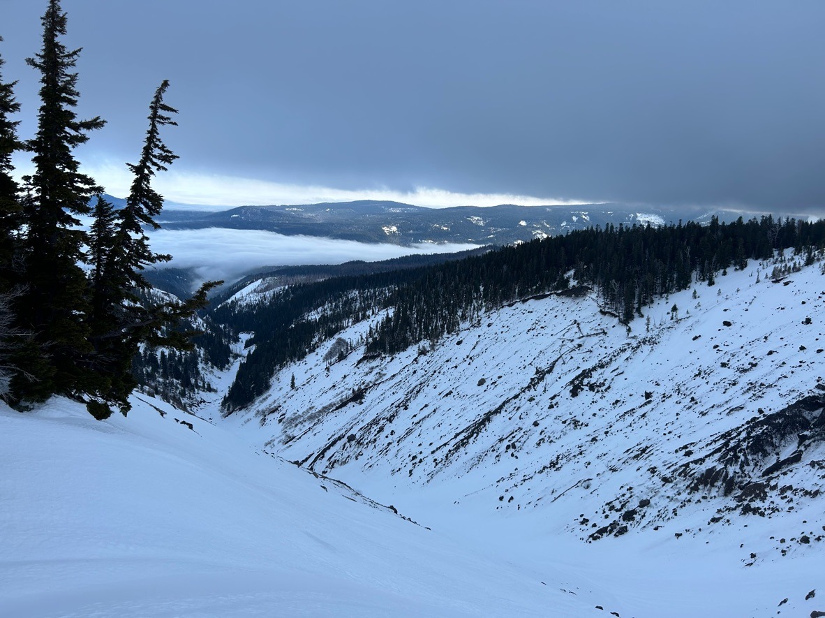
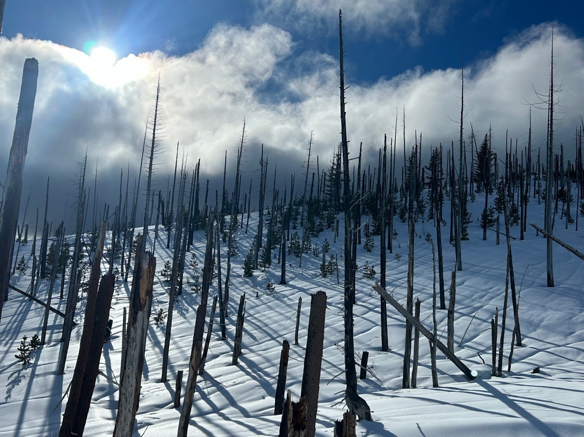
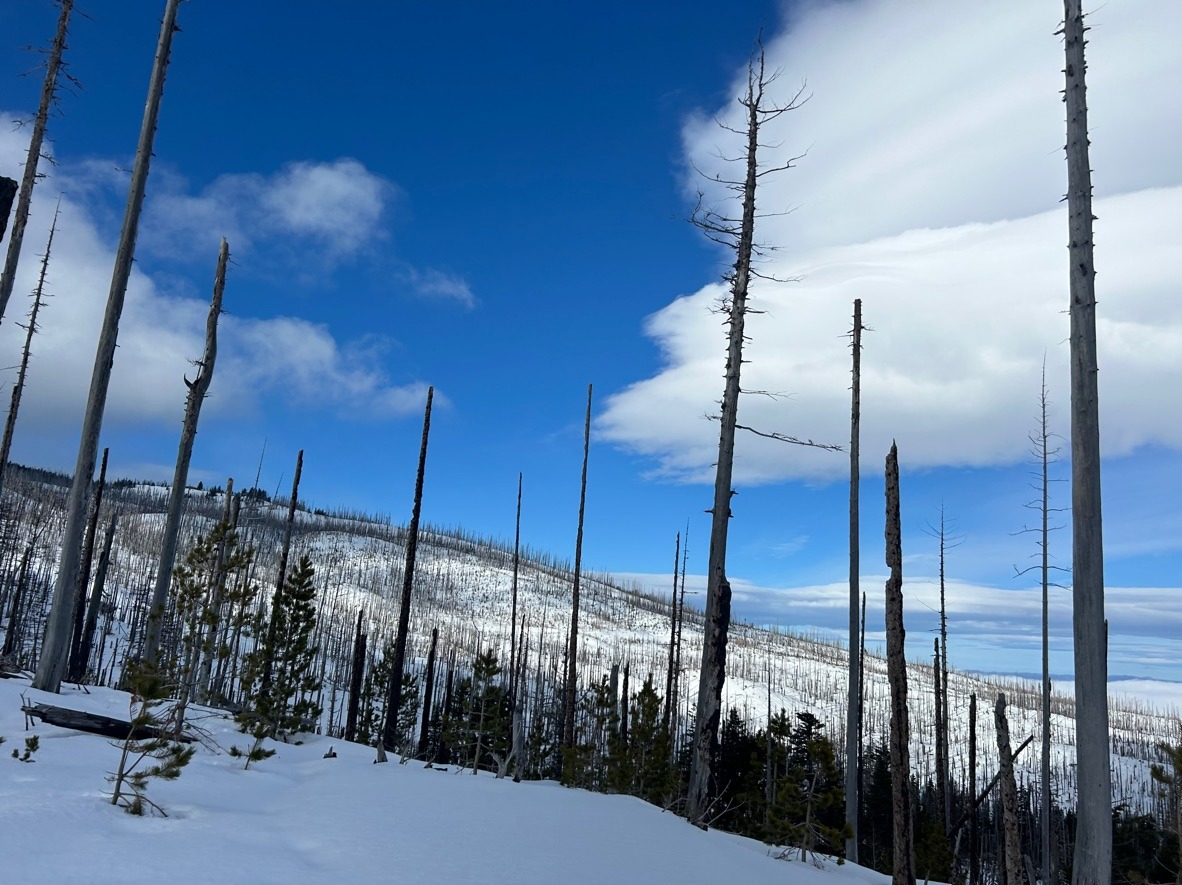
I found highly variable conditions based on elevation. Below 4500 ft, I found decent ski quality with a very brittle surface crust present. As I climbed above 4500 ft, travel conditions deteriorated, and I started noticing a 1 cm thick breakable rain crust in most areas, except for solar aspects - which held soft, mushy snow. This crust extended up to my high point at 6500 ft. Although around this elevation, I started observing isolated pockets of dry, drifted snow and moderate drifting as south winds ramped up.
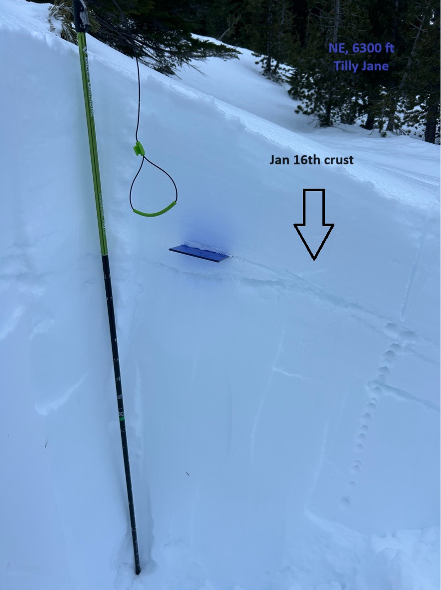
In a test profile on a NE aspect @ 6300 ft, I found an HS of 260 cm. Column tests produced sudden planar results on the 1/16 crust, 25 cm (10 inches) below the snow surface, but didn't propagate with ECTs.
I found the most forgiving ski quality in the old-growth trees, where the surface crust was slightly less pronounced. Otherwise, I'd describe the overall ski quality as 'trash.'
Look for changing conditions with more precipitation knocking on the doorstep in the coming days.