
Quick report
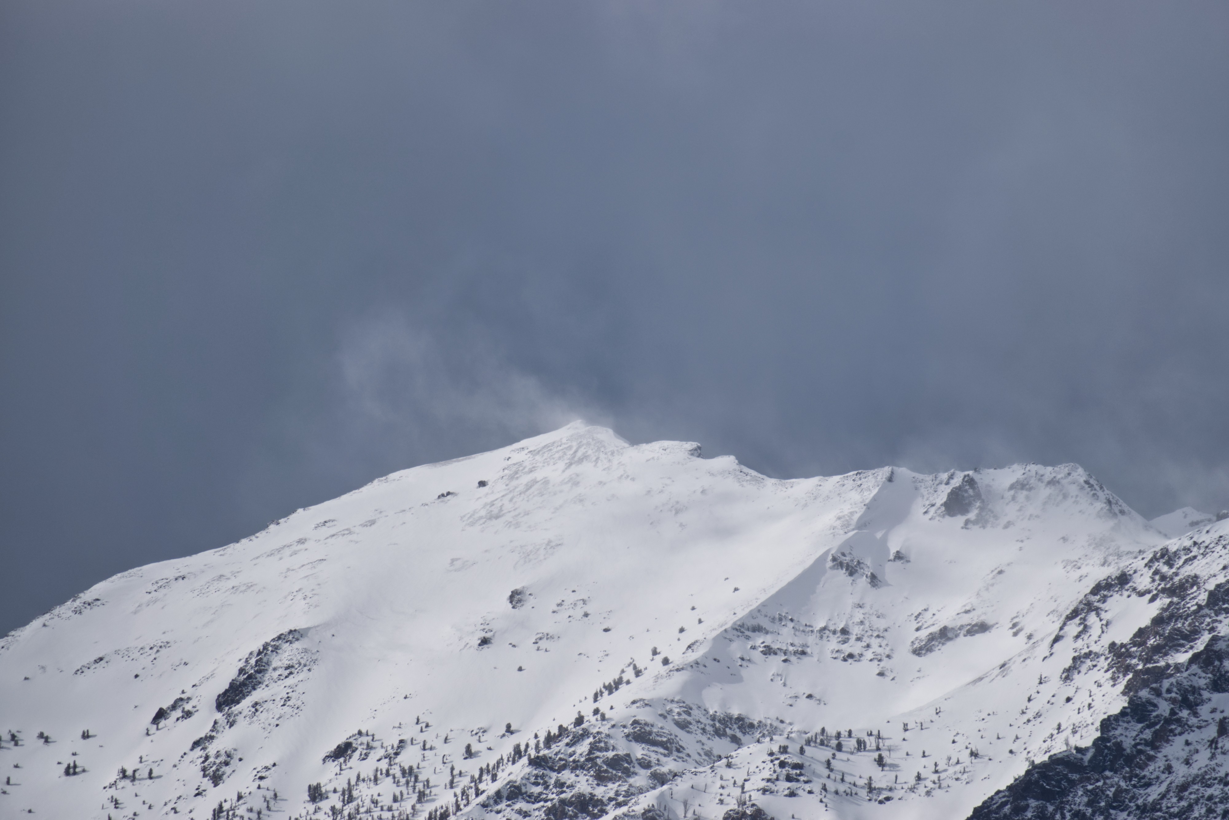
The E Fork of Baker picked up 14-17cm (5-7in) of new snow overnight. The SW wind created small slabs in exposed mid-elevation terrain. I was able to kick some cornices and create quick, moving loose avalanches on eastern-facing slopes that were absorbing solar gain through pockets of openings. They traveled fast on top of the previous crust layer. The wind appeared to shift direction (NW) in the late afternoon based on the plume off Easley Peak. In the afternoon, scattered snow showers brought brief squalls with little accumulation.
Snowpack
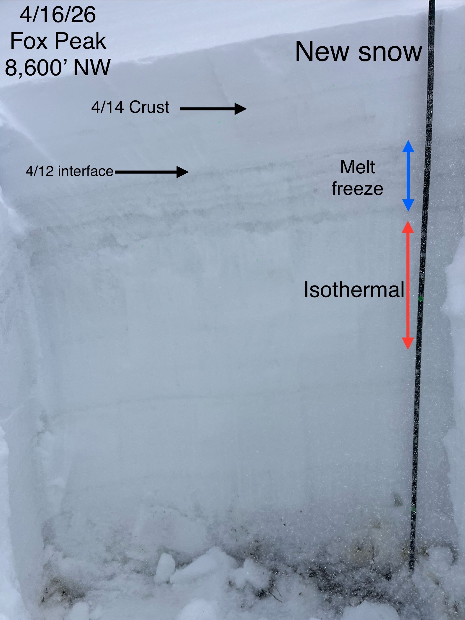
The top layer was light density 14-17cm on top of a thin crust (4/14?), below that is storm snow from 4/12 that was in the process of melting during the periods of clearer weather. It was moist. Below that was a thick (15-20cm) series of melt freeze crusts with about 35-40cm of isothermal snow below it. See photo below.
Avalanche
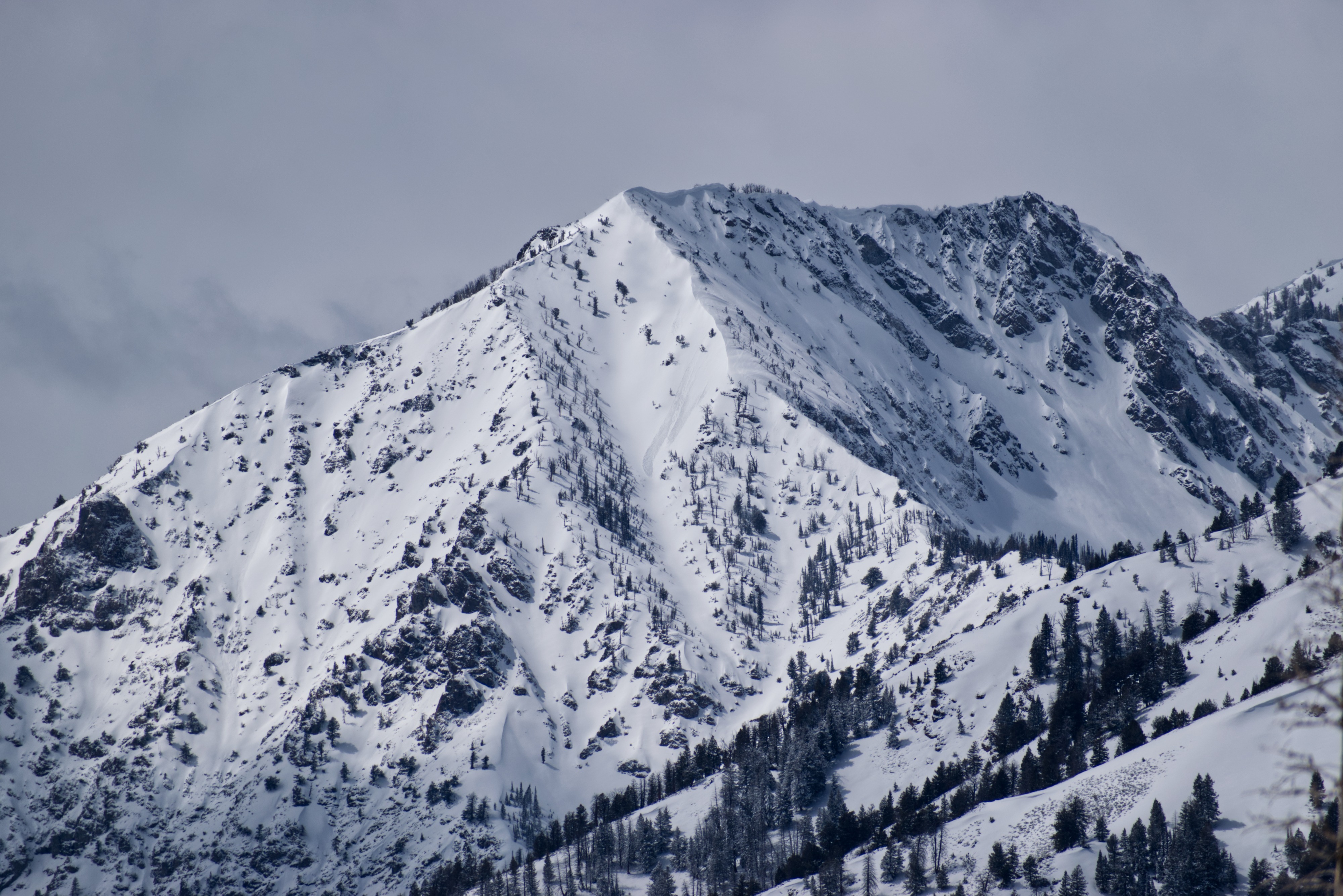
I saw a couple of wet loose avalanches that looked sun-induced. I was able to drop some cornices that entrained moist snow and slid fast on the crust below.