
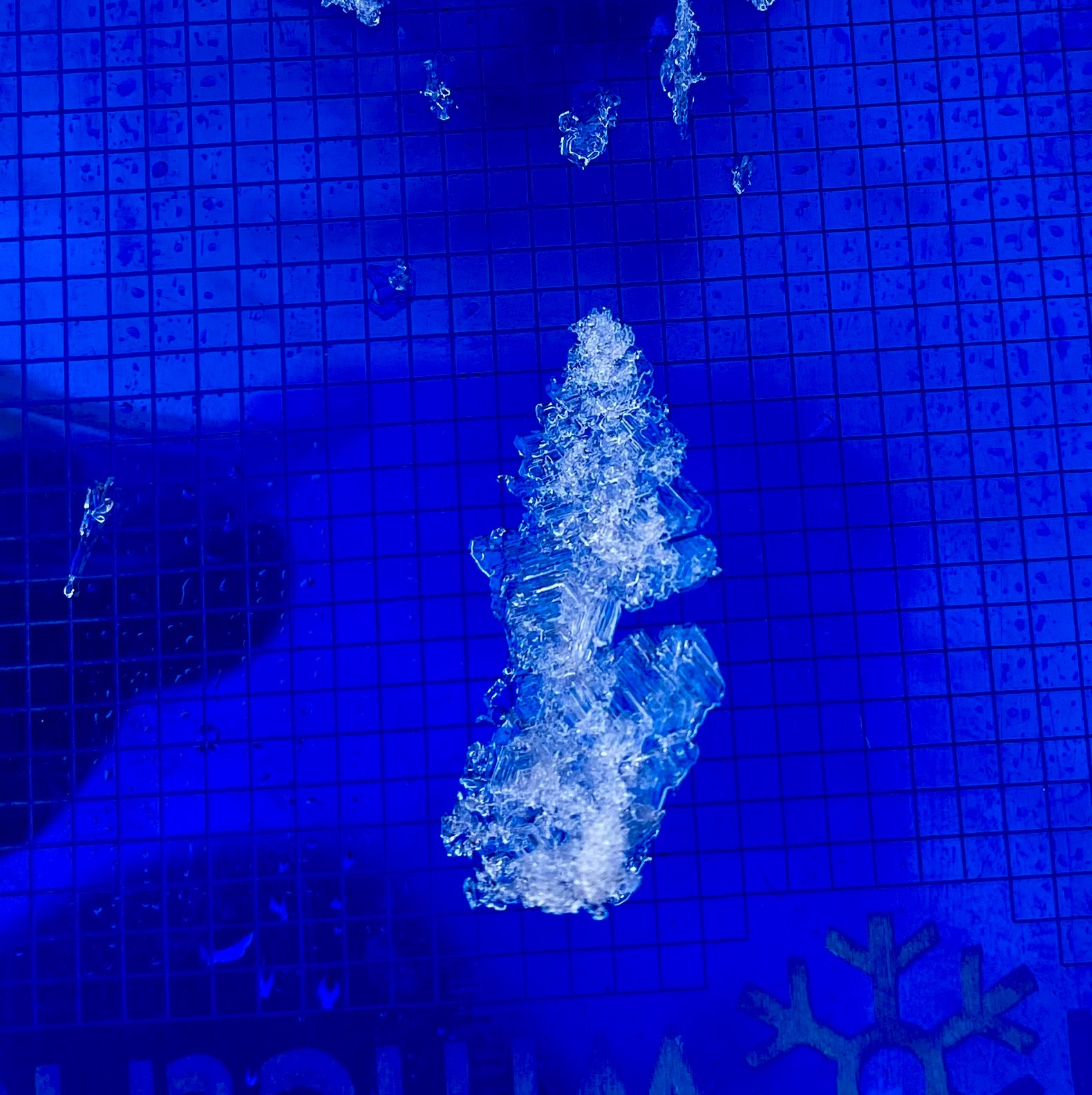
Quick report
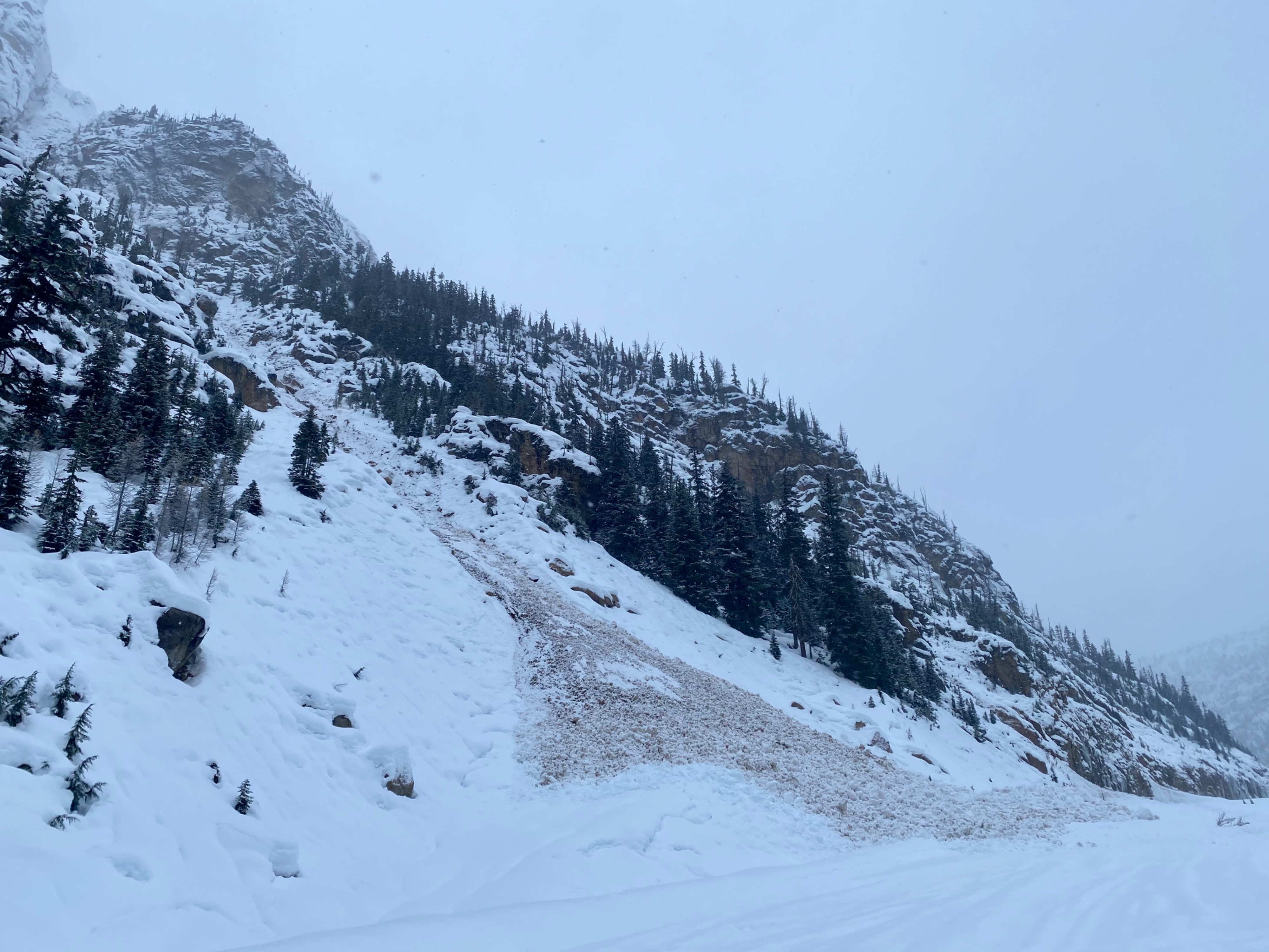
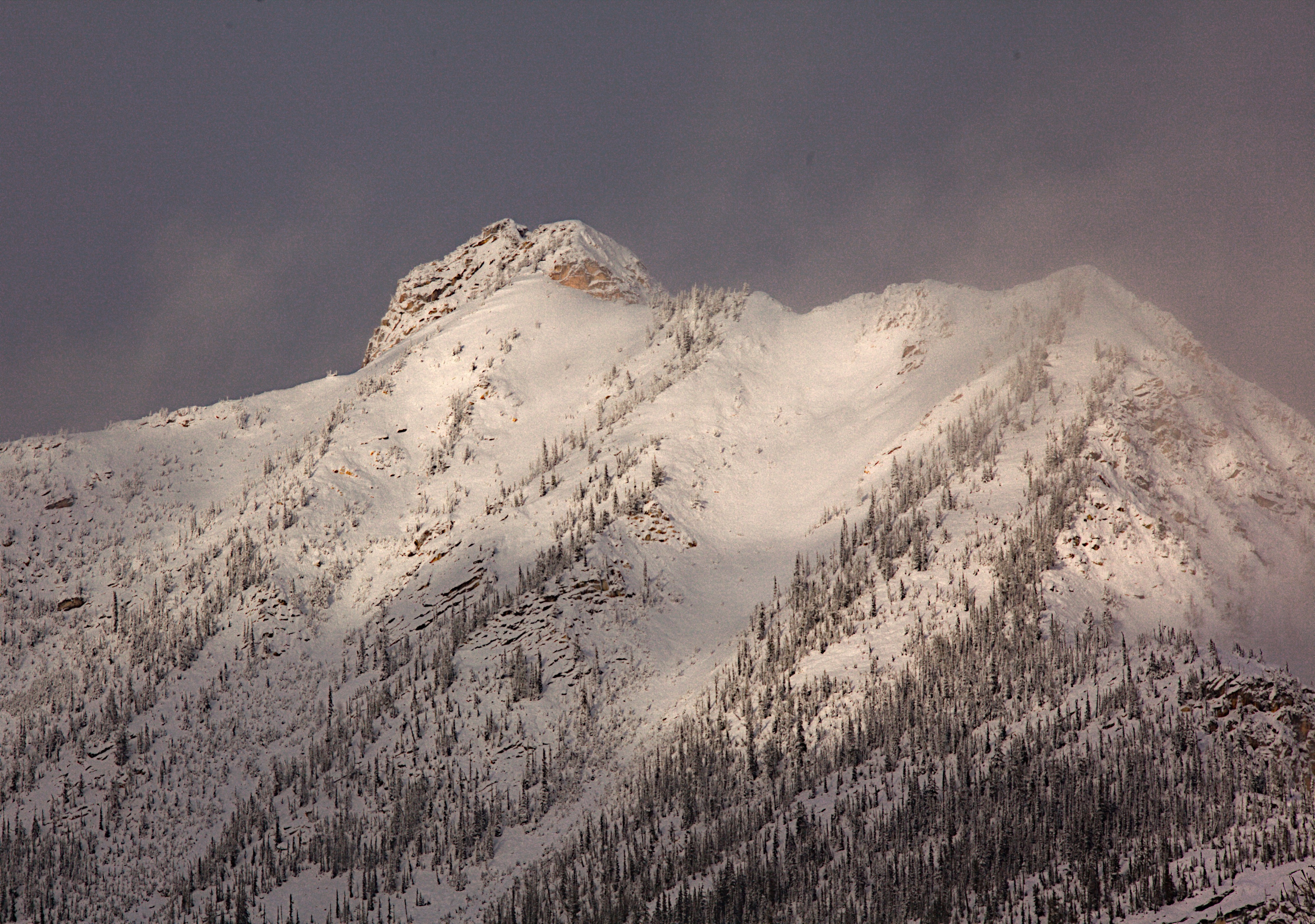
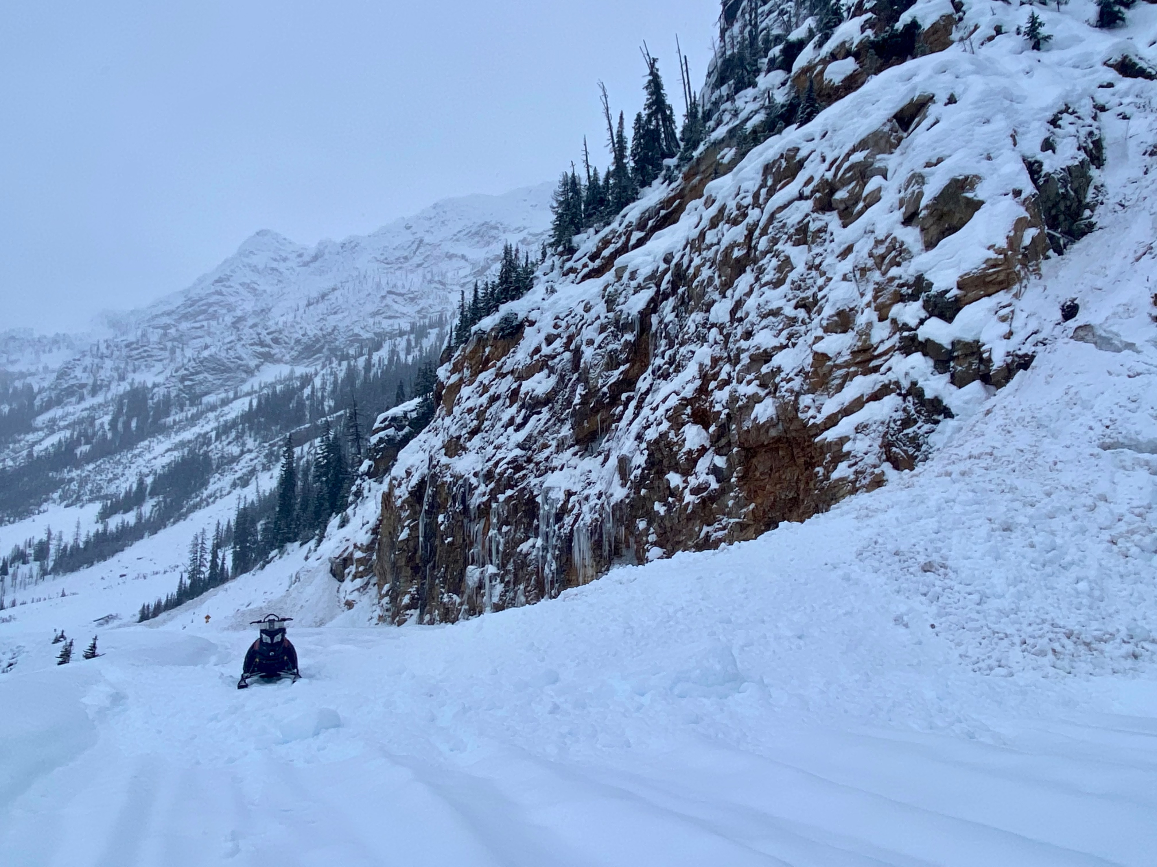
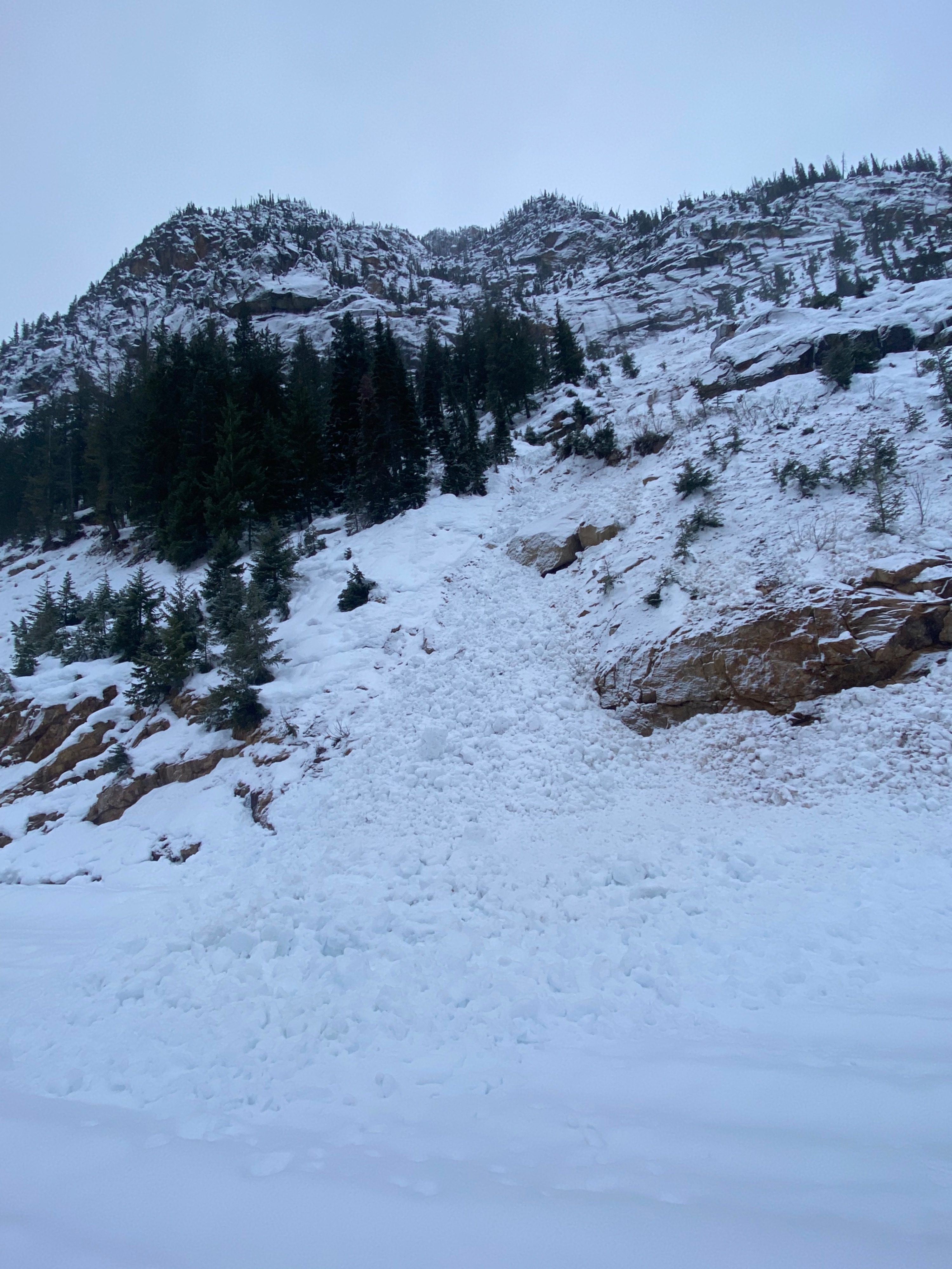
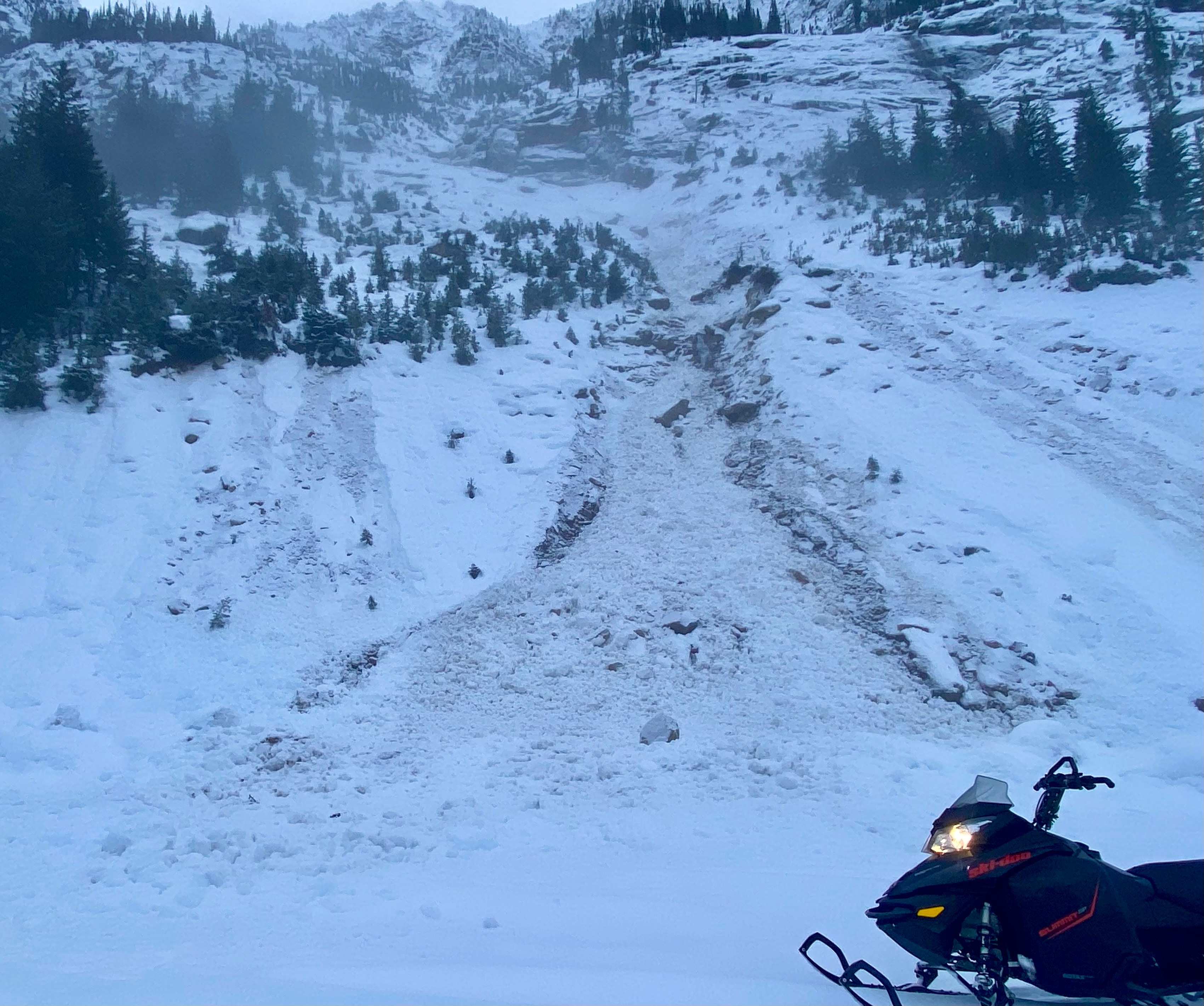
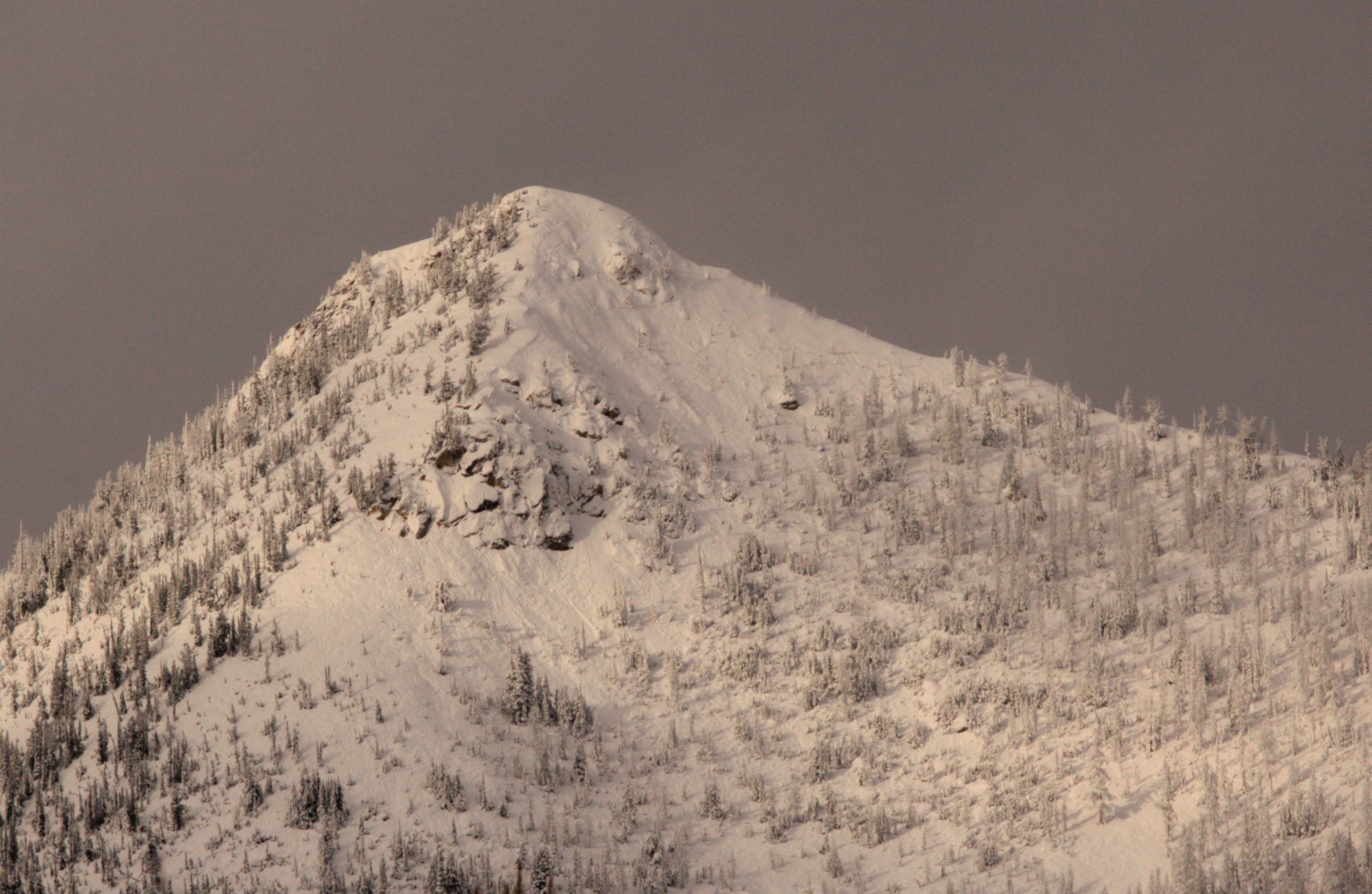
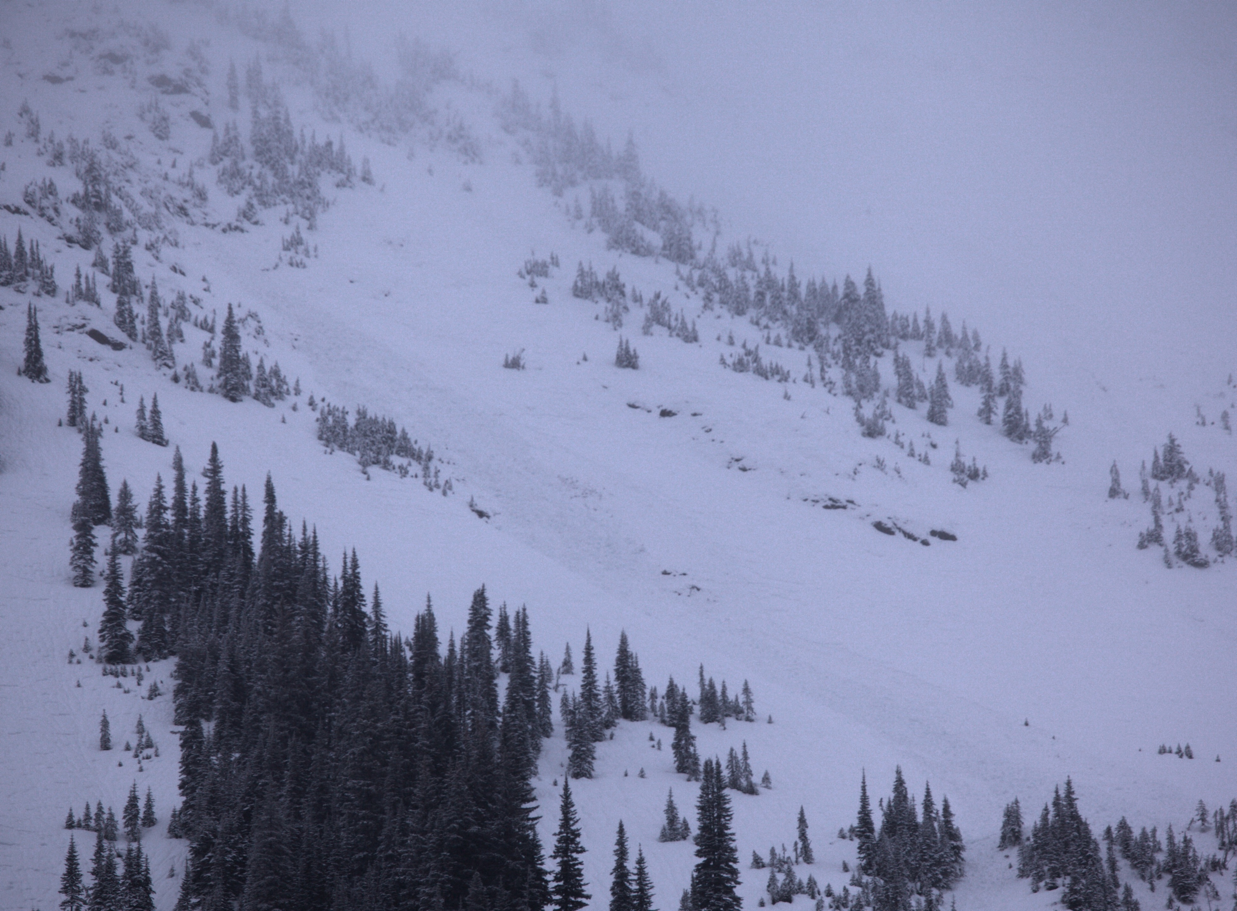
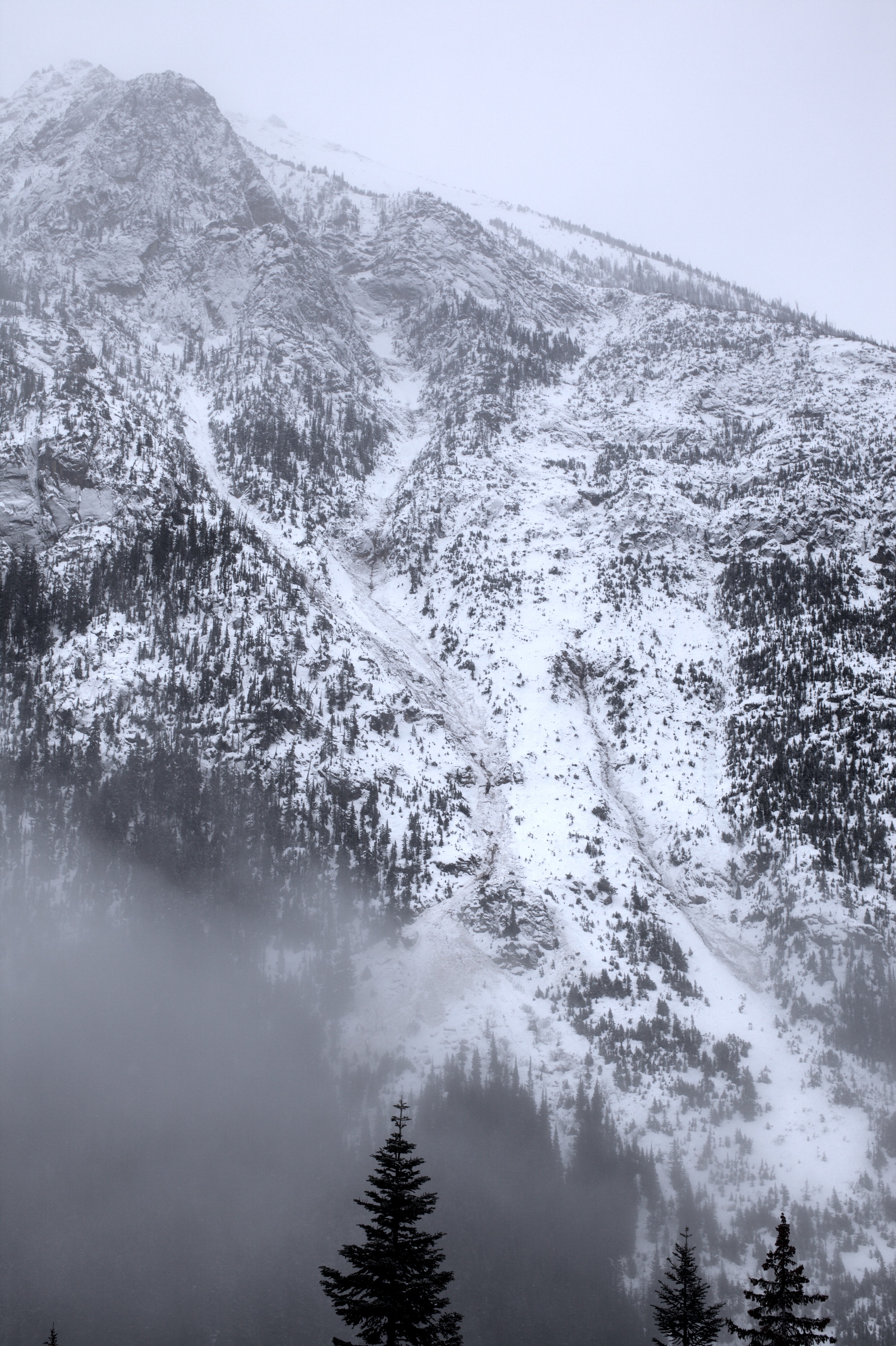
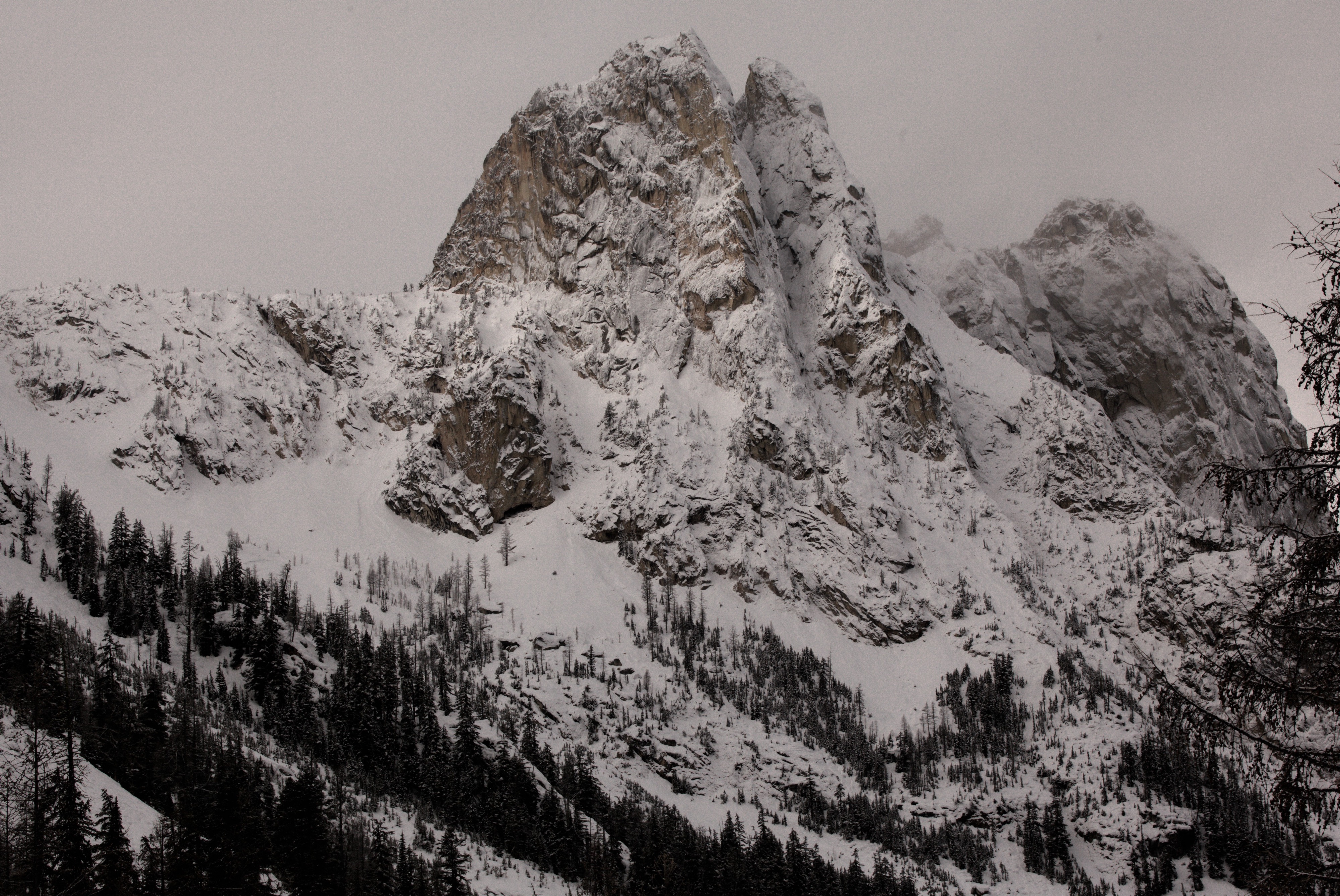
I sledded from Silver Star gate to Rainy pass and mostly avoided skiing on the semi-breakable crust. From Monday night into Tuesday, numerous D1 - D2.5 wet loose avalanches ran in the midde elevation band from 6500' to 5000' with debris over the highway in places. I looked at higher elevations for signs of recent avalanches, but saw no signs. I am curious if any large wet slab avalanches occured in higher terrain during the Monday/Tuesday warmup. I had limited views of upper elevation terrain. I did see wind sculpted features in Upper elevation terrain that show W and SW winds.
Weather
- Air Temp
- 28
- Cloud Cover
- overcast
- Recent Snowfall
- 4
Overcast skies in the morning with patchy sun breaks by the middle of the day. Light west winds at pass level with snowfall around 1-2 cm an hour.
Snowpack
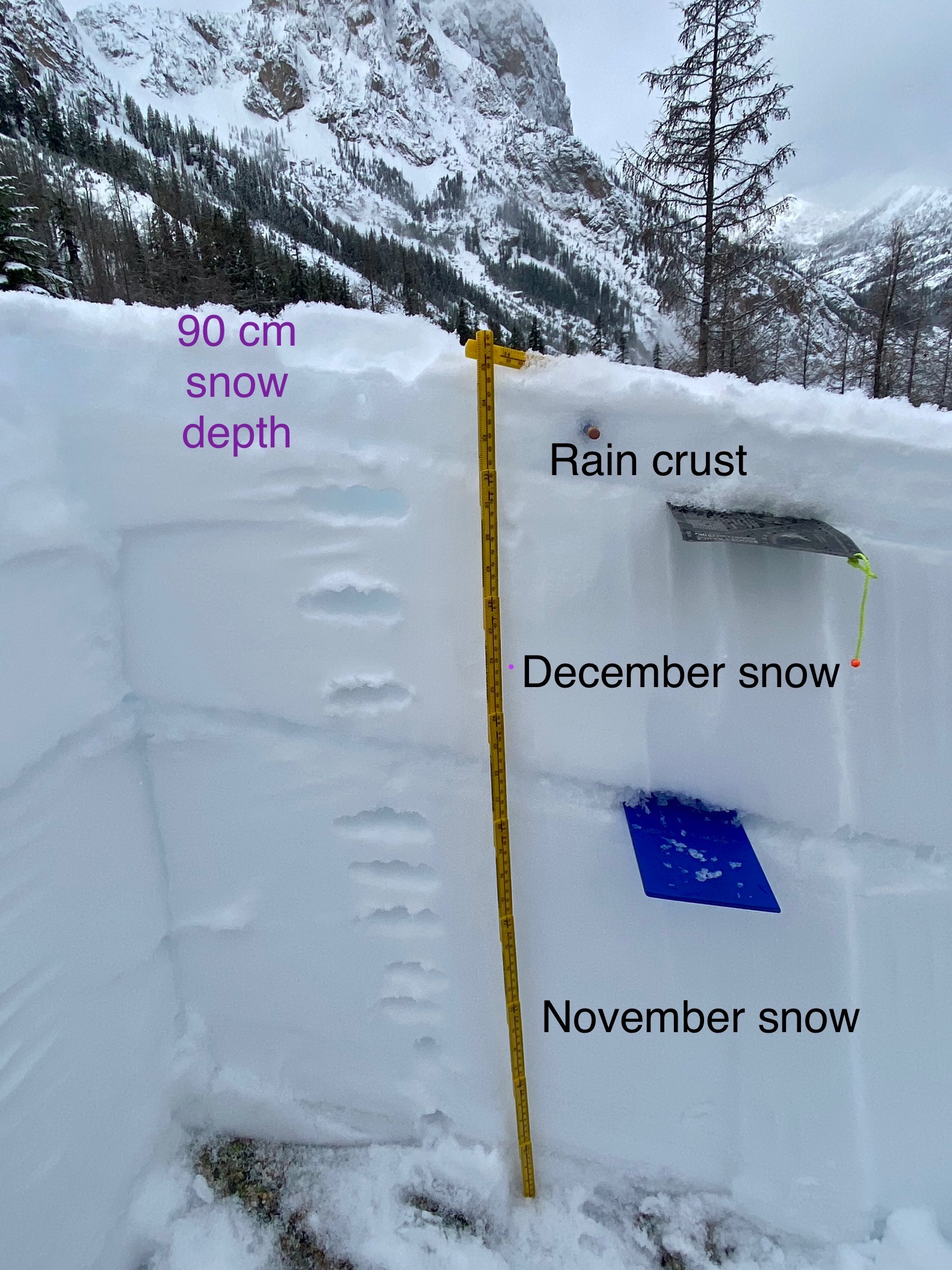
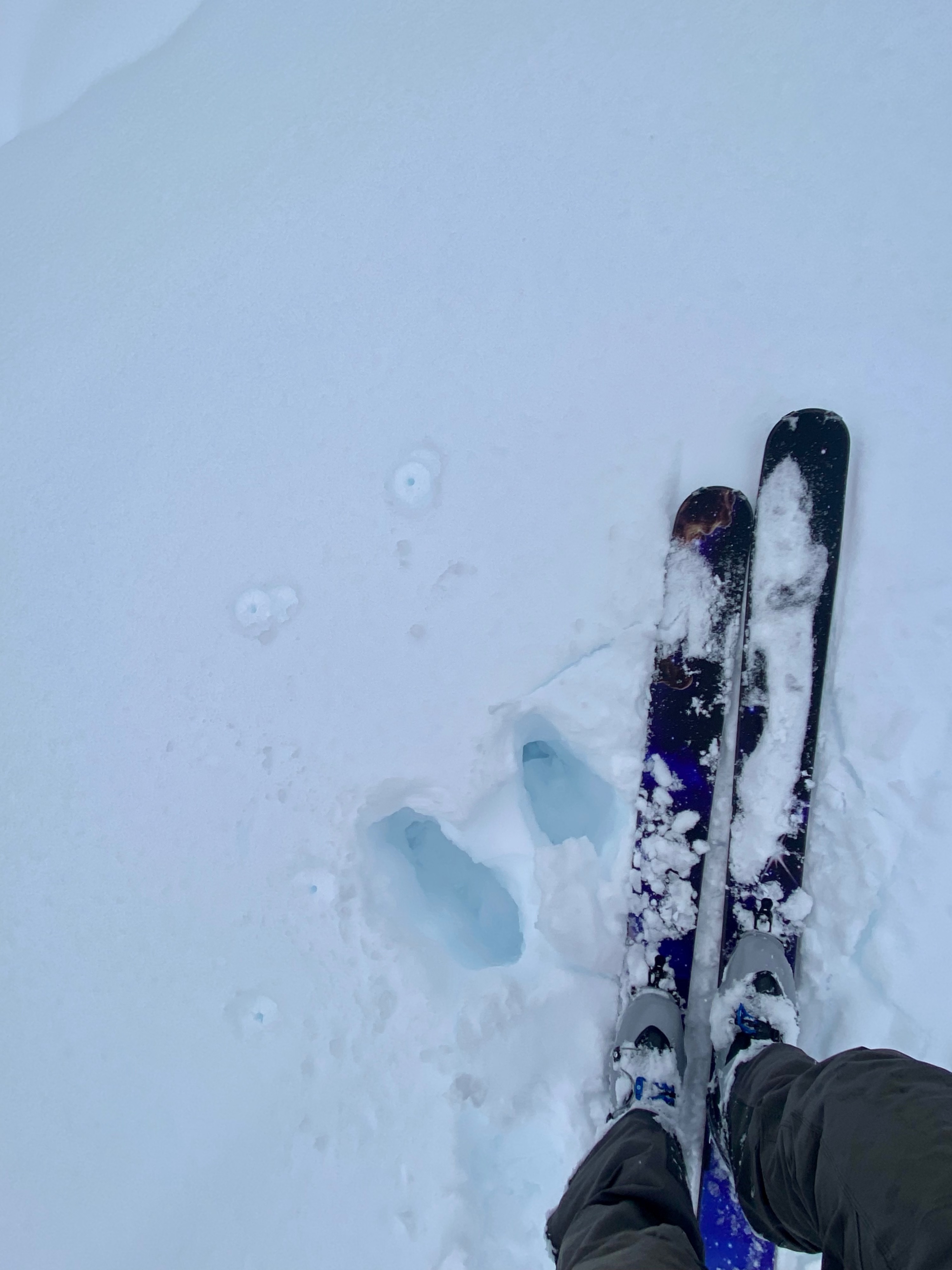
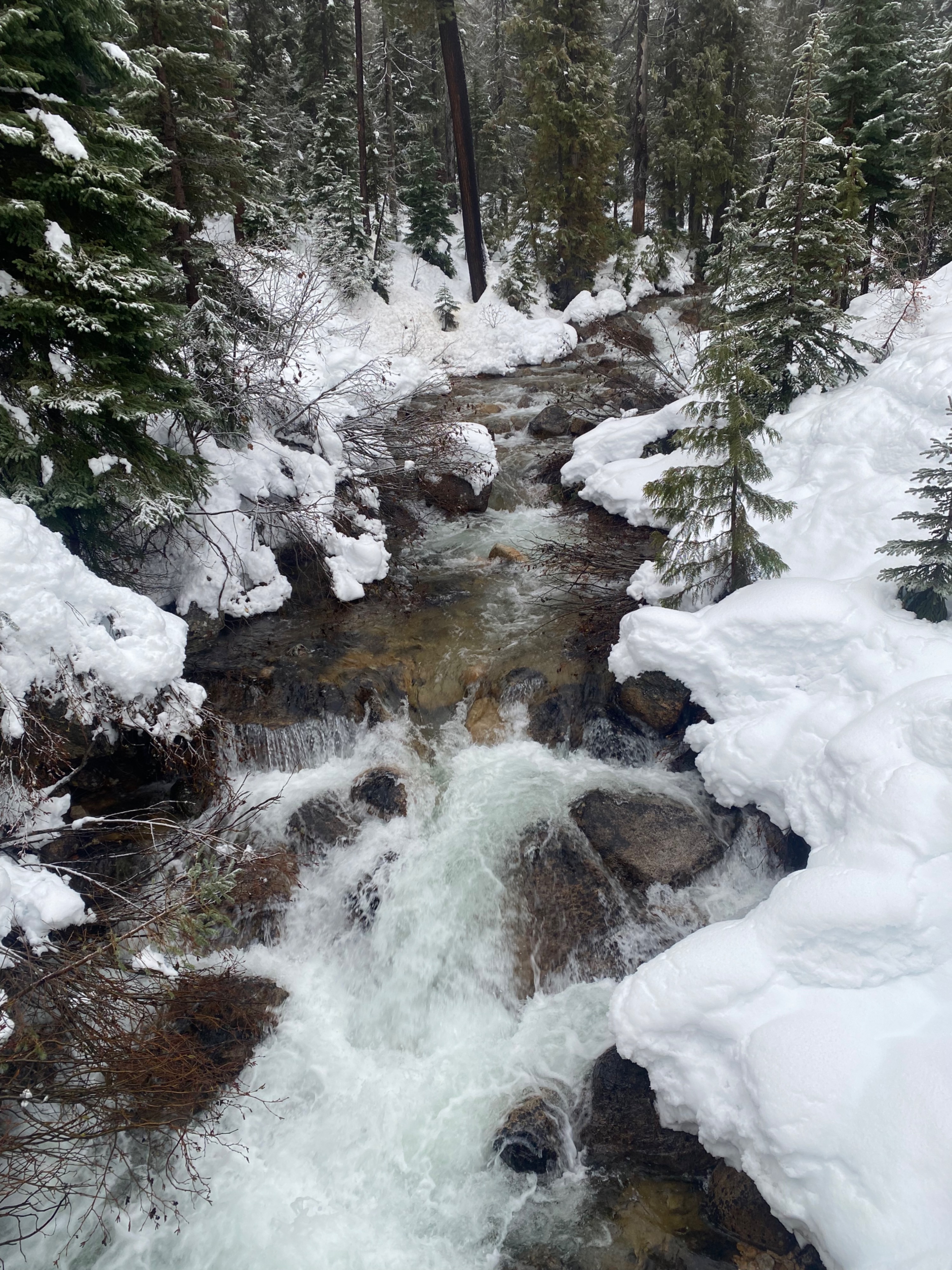
The heavy rainfall from Monday night and Tuesday has created a thick crust at the top of the snowpack. Around Rainy and Washington Pass new snow is accumulating on top of this crust. There are rain runnels in the snow surface. I was curious to see how deep into the snowpack the water percolated. It looks like the ~2" of rain we got made it about 7-10 cm down. The rain crust fully supports a skier on skis, but breaks under ski boots or a snowmobile. In a protected meadow in the hairpin valley you could still find preserved buried surface hoar about 45 cm down, but this was not seen else where. The snowpack seems to be more thoroughly wetted further west at Rainy Pass.
Avalanche
- Size
- D2
- Type
- WL
- Aspect
- S
- Trigger
- N
- Elevation
- 6500 ft
There was widespread wet loose avalanche cycle during the rain event from 12/4 into 12/5. They ranged in size from D1 to D2.5. Generally the start zones were between 6500' to 5000'.