
Quick report
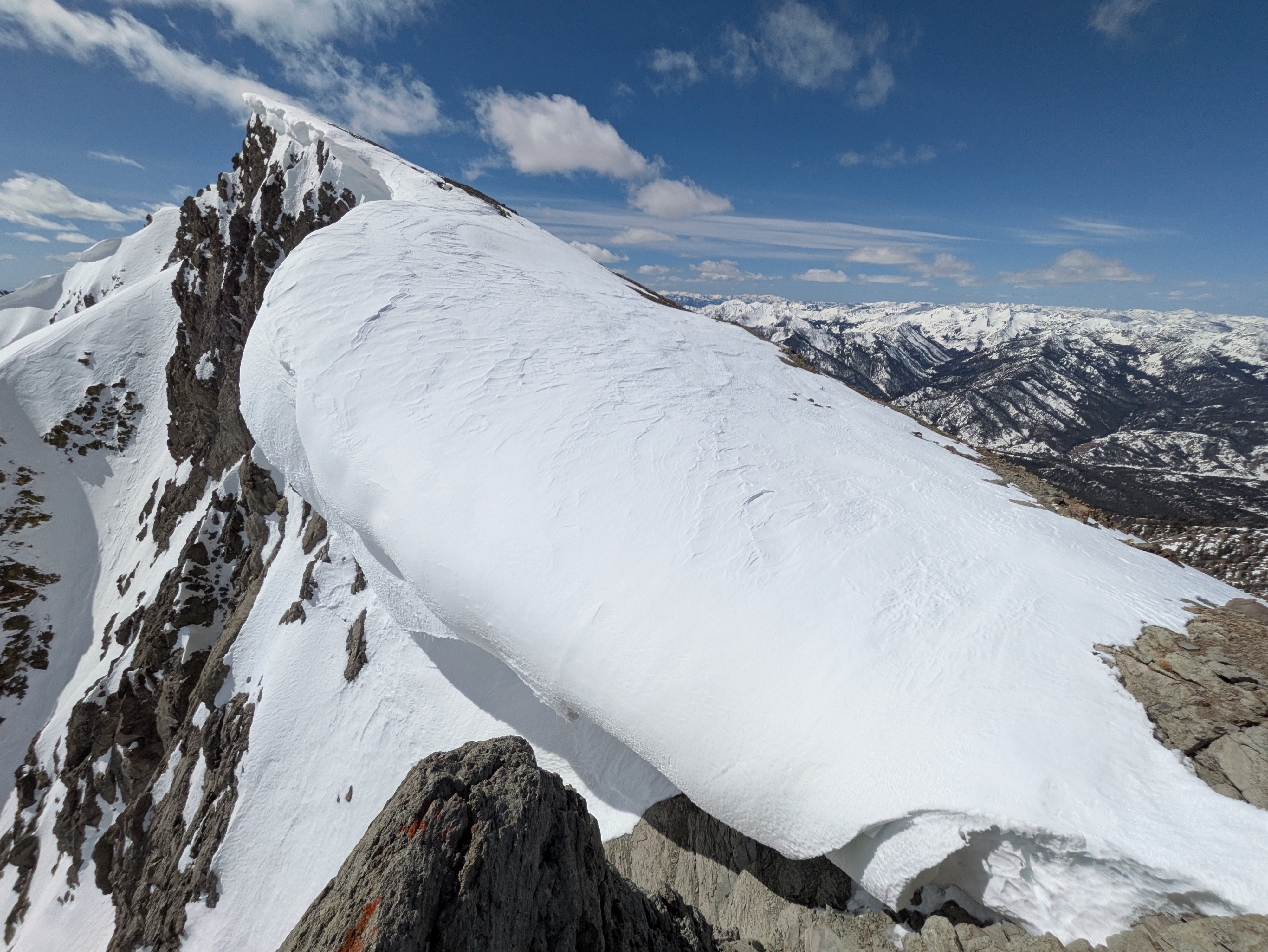
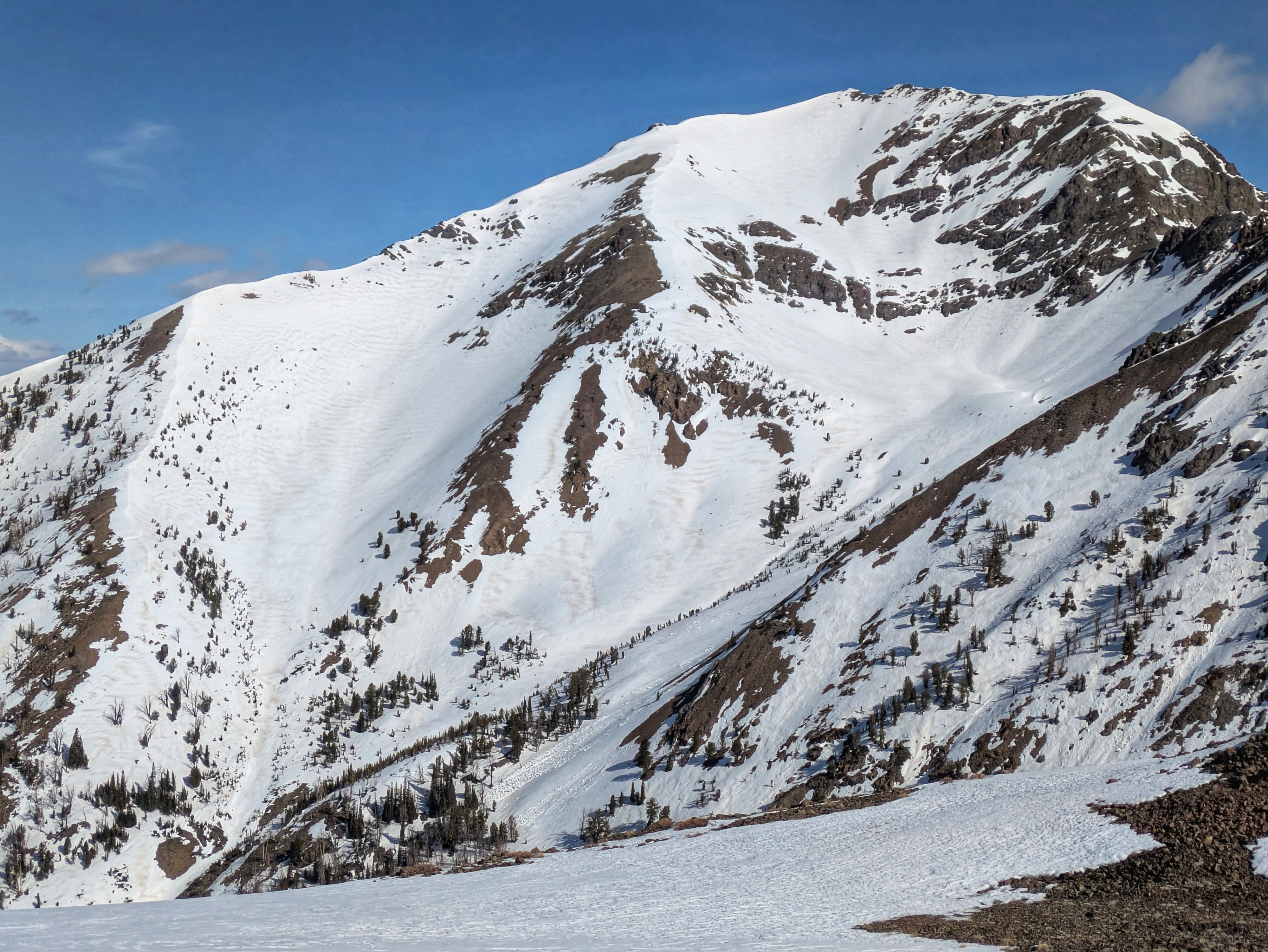
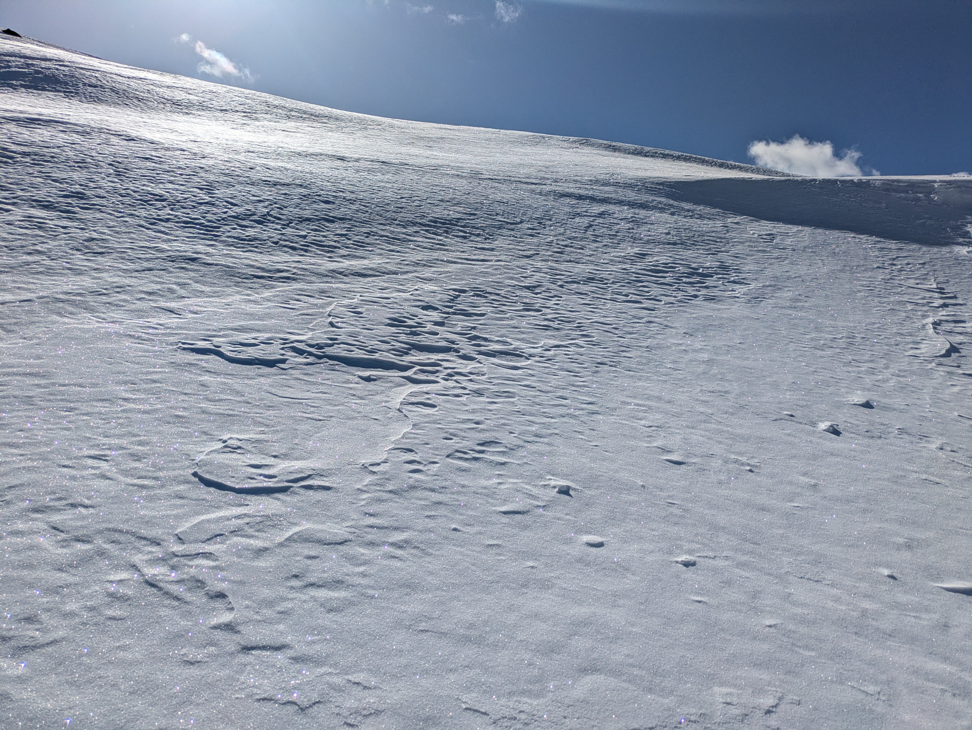
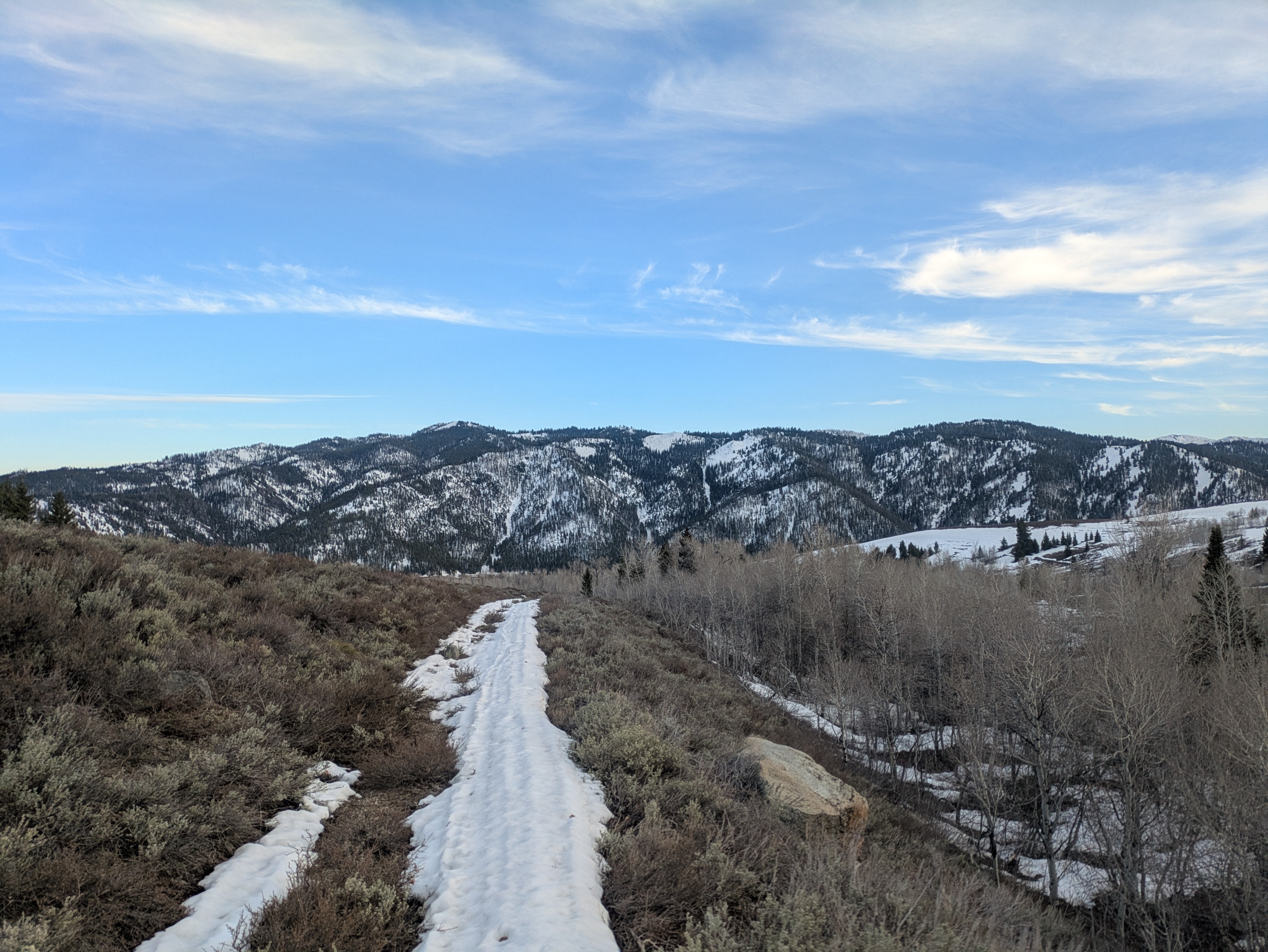
I was out all day and did not encounter any wet snow problems. I have not observed nor triggered any new wet avalanches in my travels in the past 10 days. Increasing cloud cover in the middle of the day slowed down the melt significantly and winds helped to keep things cool and wick away some of the moisture. I traveled through a lot of terrain and did not find anything that I would describe as a wind slab. Shaded slopes above ~9,500' have a bit of residual dry snow at the surface (this snow fell on 4/17) and skiing here is good as long as the winds didn't beat things up too much...otherwise its a little ugly. Strong winds blew out of the N during and after the 4/17 precip so there are not that many un-winded surfaces here. Upper elevation solars that saw significant wind deposition during the 4/17 storm are still holding partially cooked dry snow that is distinct from the older, icy snow underneath. Surface conditions are highly variable; most slopes would hold up well to a rapid load of snow but there are some isolated patches of rough but faceted snow surfaces on upper elevation shadies and a mish-mash of crusts with faceted snow above and below in places where more snow accumulated on 4/17. The snowpack on solar slopes has been through many melt-freeze cycles and is impressively strong (provided it freezes well the night before). The snowpack had a great freeze this morning, I was able to ride a mountain bike with 2" wide tires on ungroomed snow at valley bottom at sunrise. Corn on upper elevation slopes was slow to develop. E/SE were coming in around 10-11, S around 12-1, SW around 2-4, W corning up briefly around 4-5, with surfaces refreezing and becoming slick by 7. Dust is having a significant affect on melting and on corn quality. On slopes where the dust was evenly distributed the effect is minor, but on slopes where the dust was restacked by the wind shortly after it was deposited there is a zebra-stripped pattern of dust and clean snow (see photo of south side of Galena below). Corn quality is not nearly as high as it was last week (still very fun), but travel conditions are excellent for linking together big traverses. Most of the large cornices that formed this winter have done their thing over the past few weeks. I found a few large cornices that warranted concern, but this was the exception and not the rule (see attached photo of the most concerning cornice I observed, a real whopper). Looking ahead it looks like it will be getting harder and harder to get solid overnight freezes after this weekend. It has been an excellent few weeks of skiing and corn, but we may be on the tail end of those conditions... Enjoy it while you can!
Weather
Mostly clear skies at sunrise. Cloud cover built during the morning hours, peaking in the early afternoon with overcast skies. Cloud cover decreased in the afternoon, just some thin, high clouds at sunset. Calm winds to start the day, increasing into the afternoon, then decreasing into sunset. Temperatures stayed cool all day long.