
Quick report
This was the day that the forecasted avalanche danger increased from low to moderate due to a storm. It wasn't much of a storm, unfortunately...powder day for ants! I found 1-2cm of new snow that the wind had broadly scattered. I did not encounter any wind slabs, the deepest wind deposits I found were about 10cm thick, quite isolated, plastered into the terrain, and showed no signs of instability. The storm did not increase the likelihood of triggering an avalanche in the terrain I traveled in today and did not affect the ski quality. I'm spending a lot of time looking at snow surfaces in anticipation of it actually snowing. In my travels, the ugliest snow surfaces I've found are at low and middle elevations on shaded slopes where stacks of weak facets have developed at the snow surface on top of a firm layer of snow. This set-up is at its worst on slopes where the snow cover is thin and gradients are steep. Old bed surfaces from avalanches that failed during the multiple avalanche cycles in February are particularly weak and suspect (one of many reasons that tracking slope-scale avalanche activity through a season is important). I triggered a dry loose avalanche composed of facets on one of these old bed surfaces, a clear indicator of significantly weakened snow. As you climb into upper elevation terrain, surfaces have been pretty beat up by the wind and are rough and rugged. They are significantly faceted (which makes for fun, firm, and easily edgeable skiing). Solar aspects have generally looked quite friendly; the vast majority of the crusts I've encountered here are rough and rugged and icy with lots of surface convolutions. On this day I didn't see any slopes that I would describe as "slick." I think if this storm had produced more snow it would have bonded well to the solar surfaces I traveled over today. At the margins between solars and polars (W-ish and ESE-ish), variable, icy crusts have formed, with weak facets below. These could also be problematic with a significant load. On a slope with those characteristics, the slide would likely be breaking underneath the crust. There is a ton of snowpack variation with changes in aspect and elevation. Low and mid elevation solars have transitioned to more of a springlike regime, but above ~8500' even direct solars are still in the middle of transitioning. Shaded slopes remain cold and dry; it's a winter snowpack here.
Weather
- Recent Snowfall
- 1-2
Avalanche
- Size
- D1
- Aspect
- NW
- Trigger
- AS
- Elevation
- 9300 ft
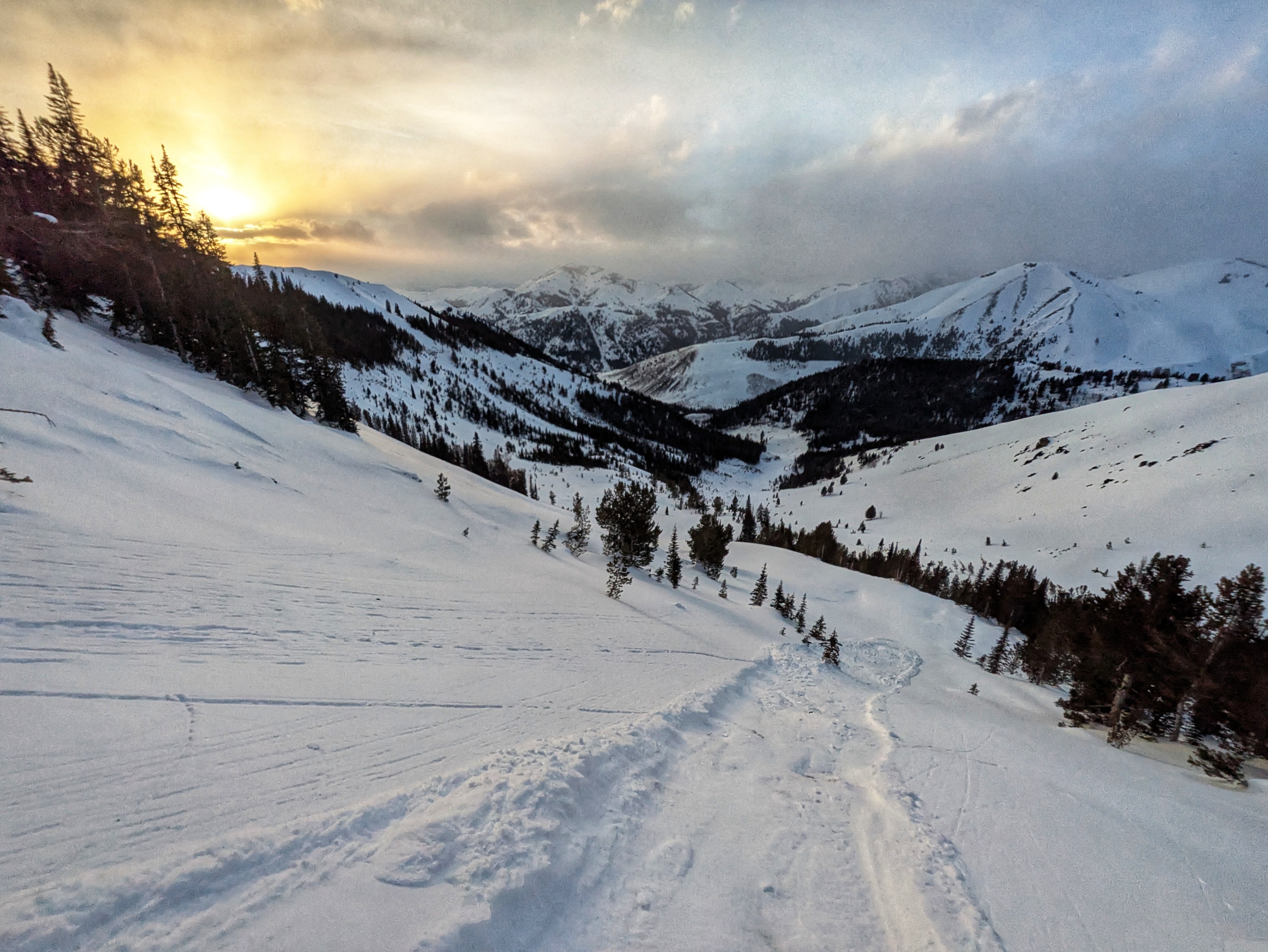
I intentionally triggered a small dry loose avalanche composed of facets and the 1cm of new snow on a steep NW facing slope at 9,300' in the Galena forecast zone (top of middle elevation there).