
Quick report
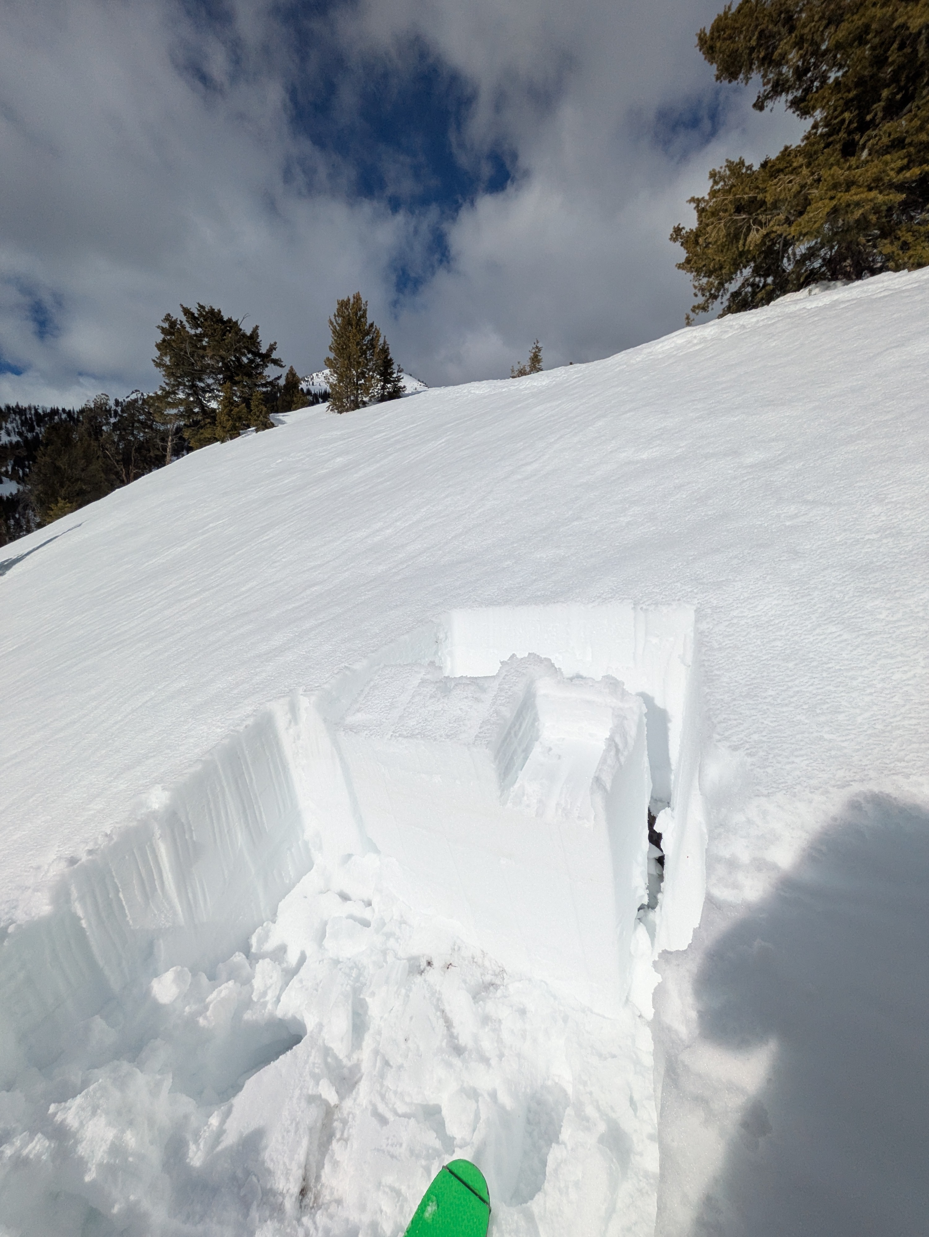
I went out for a short afternoon bop to check in on the persistent slab problem, to gather some information on how deeply water was moving through the snowpack, and to keep the ski streak alive. I dug on a SW aspect at 8,800' (middle elevation) and found a snowpack that had seen water moving all the way through it down to the ground. Water was pooled around crusts throughout the snowpack, the facets and depth hoar near the base of the snowpack were wet, and the ground was wet and muddy. I performed three ECTs, all of which produced unstable propagating results - ECTP 26, ECTP 28, and ECTP 31 (column failed with one additional hit from the shoulder). These all failed near the base of the snowpack, down 70-80cm in a 100-110cm snowpack. It was impressive to see repeated propagating results under such a dense slab. When dealing with deeper wet snow issues you're thinking about both how much water is being pushed down into the snowpack, and how much water is already lingering in the snowpack from earlier melting. We've got plenty of water hanging in the snowpack, but yesterday's clouds and breeze slowed down the amount of meltwater production at the surface (at least in the Boulders...it was very sunny in the Sawtooths). Despite that, the snowpack I encountered was thoroughly wetted and concerning. I would not have wanted to encounter a snowpack that looked like that on a steep slope. I don't think we are out of the woods yet for human-triggered wet snow problems, particularly during the heat of the day. I traveled more cautiously and with wider margins today than I did on my last trip up here on 2/23 during a storm when the danger was rated considerable. I'm optimistic that stability will eventually improve as the snowpack drains and refreezes, but we weren't there today.
Weather
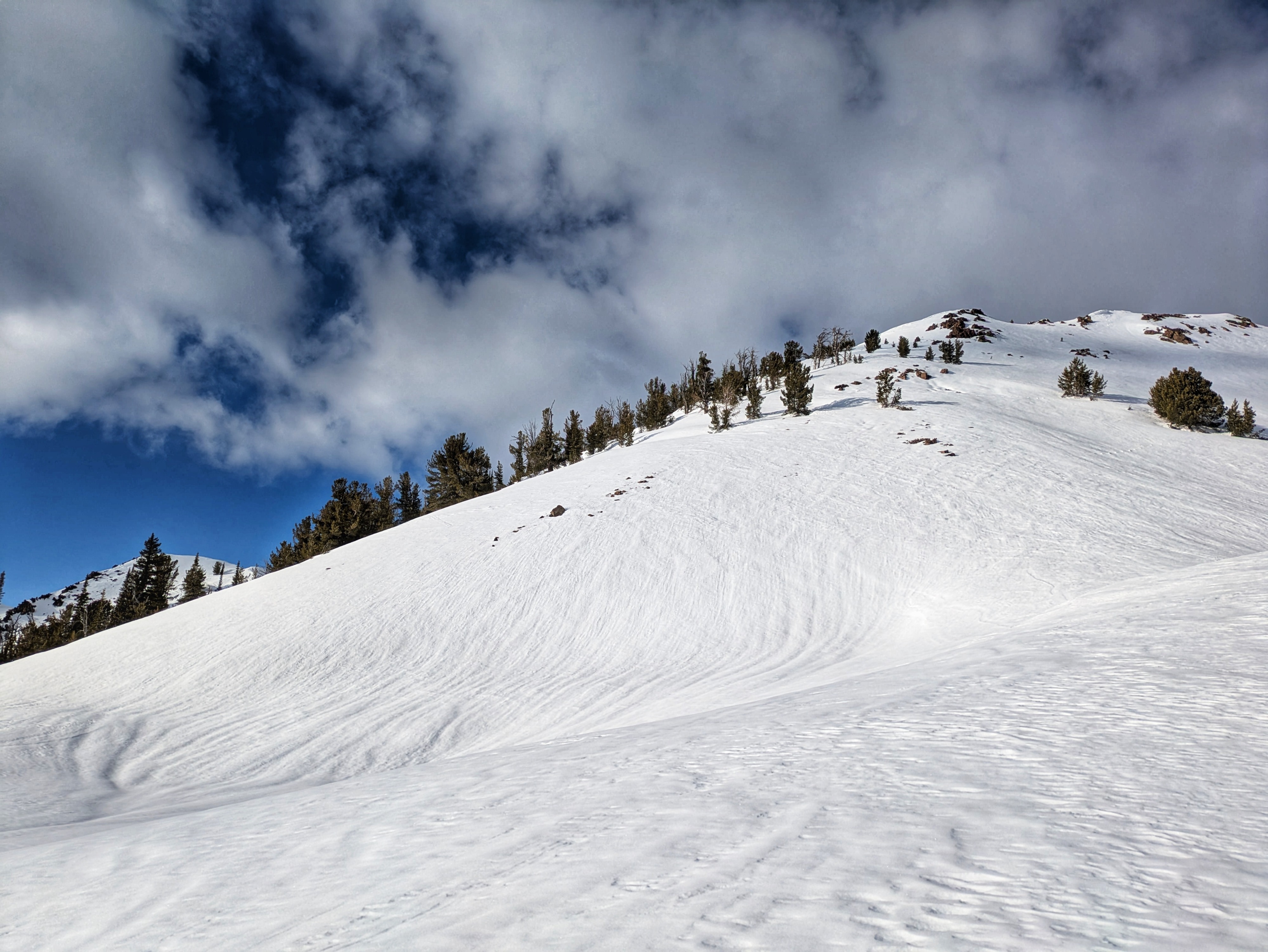
On night of 3/2, skies became overcast around sunset and stayed that way for much of the night. Lots of direct sun all day in the Sawtooths on 3/3, we definitely saw some significant meltwater production going on there today. Partly to mostly cloudy skies along the Boulders and easterly winds thanks to backdoor/wrap-around moisture.
Snowpack
On night of 3/2, skies became overcast around sunset and stayed that way for much of the night. This made for a much weaker freeze than seen in recent days. There is a ton of water hanging in the snowpack on solar aspects, slowly working its way down. This can create surprising conditions where the surface is somewhat frozen but crusts and facets lower down in the snowpack are wet and weak. Yuck. These are the kinds of conditions that create somewhat rare corn-alanches, where the surface "feels good" and skis good but where ugly wet slabs failing deeper in the snowpack are possible.
Avalanche
- Size
- D2
- Aspect
- NW
- Trigger
- N
- Elevation
- 6900 ft
I observed this slab avalanche on evening of 3/3 while driving. I did not find it in the avalanche database so I'm entering it here. Pretty hard to say what the timing was as I haven't been driving this road and glassing, but sometime during Feb storms involving the 1/31 weak layer seems reasonable. SAC forecasters may have a better idea on timing based on their driving observations through the area on 2/15, 2/23, and 2/28. This is a small D2 or big D1.5, but notable due to the sheltered, lower elevation terrain involved.