
Quick report
- Cracking
- isolated
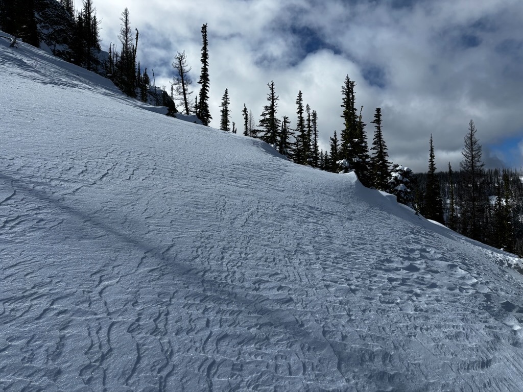
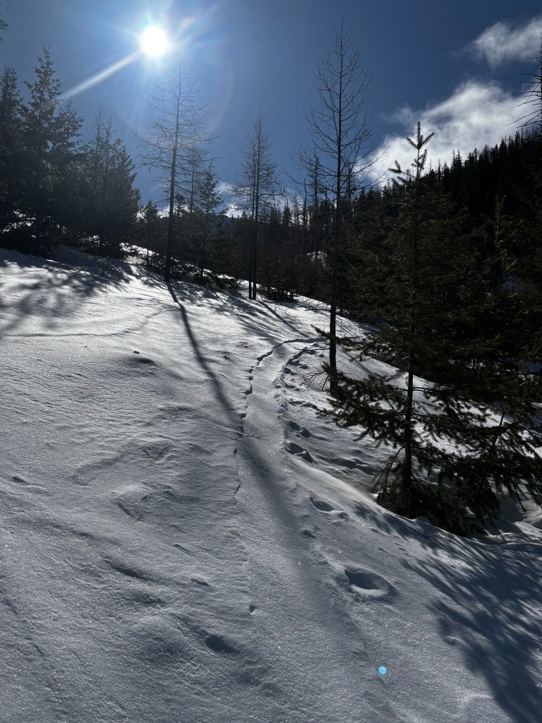
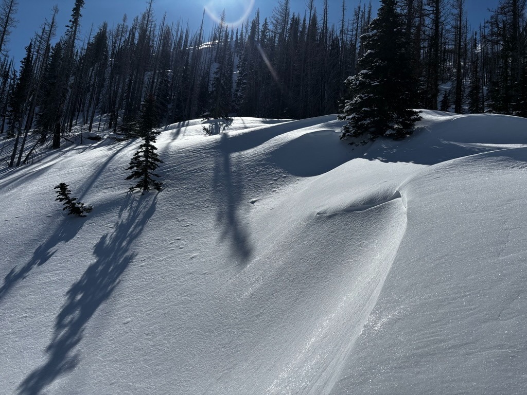
Monday was a pleasant day for a look around Blewett Pass. I didn't have to go far to find wind-affected surfaces from the windy, stormy weekend. Once in open areas above 4600 ft, any old skin tracks from Sunday drifted over, which was a good indication of overnight loading. Once I crested near the ridgetop, there were plenty of soft wind-etched surfaces, dune-like drifts, and scoured areas. Wind slabs at these middle elevations generally appeared more stubborn.
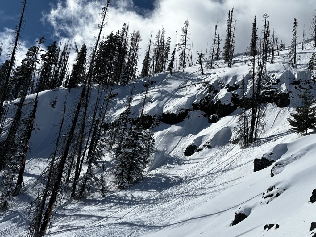
Solar aspects definitely warmed with Sunday's solar input. These aspects had a thin, breakable surface crust during the morning hours. There was a good amount of small wet loose on steep, rocky solar aspects.
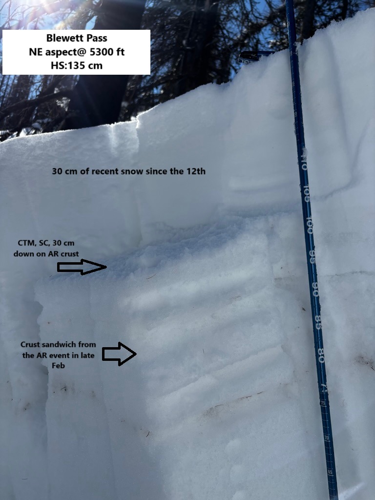
Instability was confined to wind-loaded features and the new snow above the crust AR crust from late February.Weather
- Air Temp
- 20s
- Cloud Cover
- scattered
- Wind Loading
- light
- Recent Snowfall
- 0
- Snow Avail For Transport
- small smounts
Snowpack
The lower/mid snowpack on shaded aspects is generally strong and moist. In some locations, I found some old layers of rounding facets around crusts from earlier winter, but these were moist and unreactive with snowpack tests. My main focus was the new snow that rests over the AR crust from late February. This interface produced CTM, SC results and ECTN's in a couple different locations. While this interface isn't too concerning at the moment, its worth keeping an eye on as new snow builds over it.
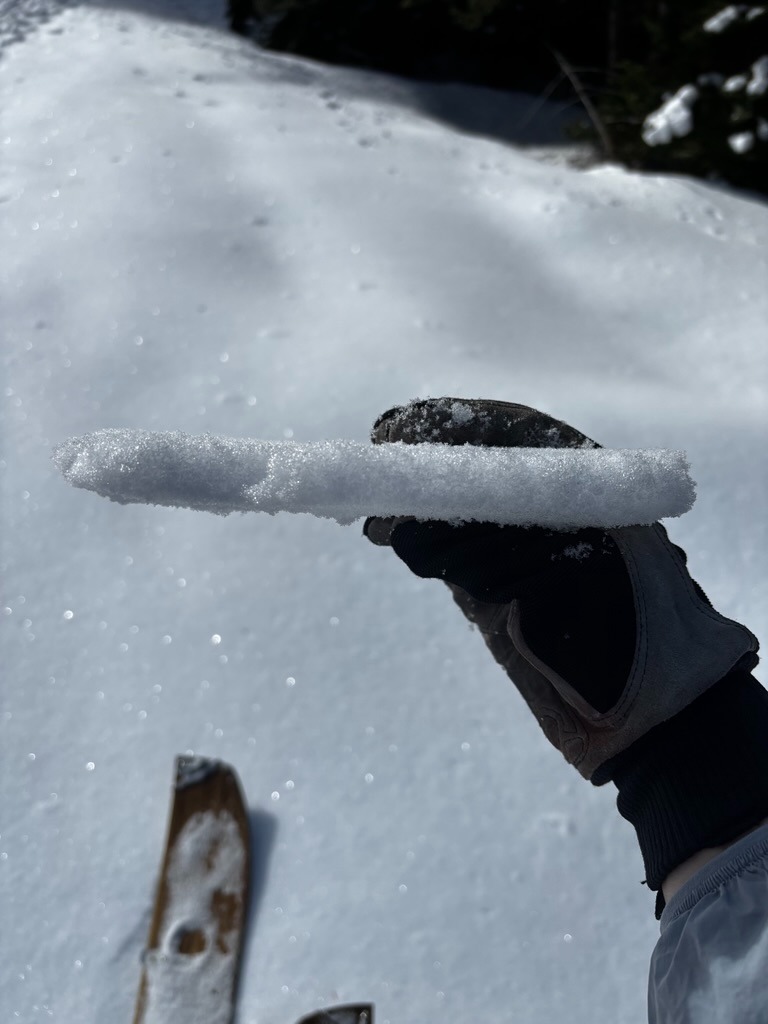
The surface is a mix of crusts on solars, settled powder on northerlies, and wind affected surfaces in more exposed terrain. In some sheltered, open areas, I found some small-grained SH kicking around.