
Quick report
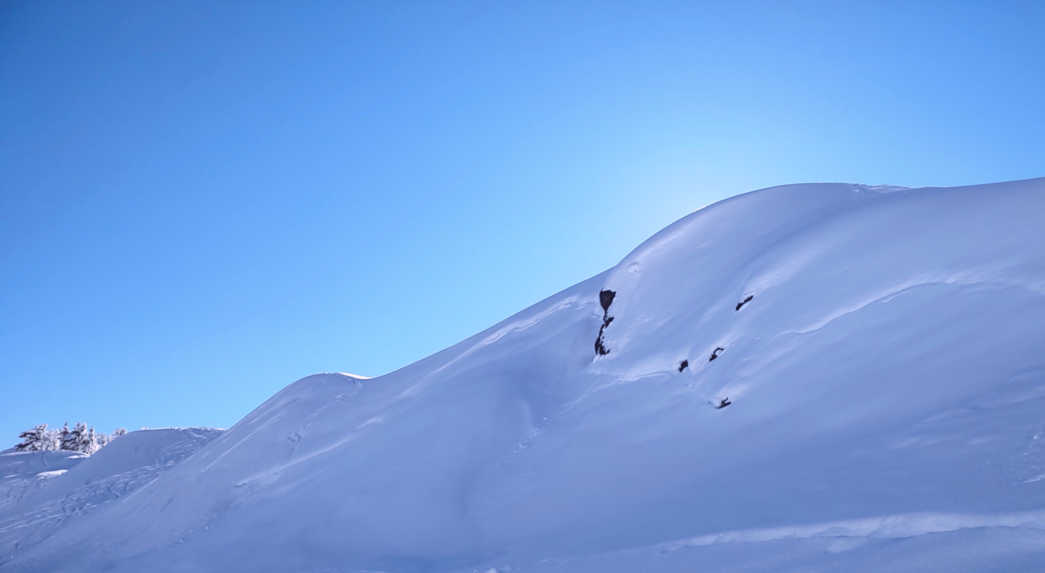
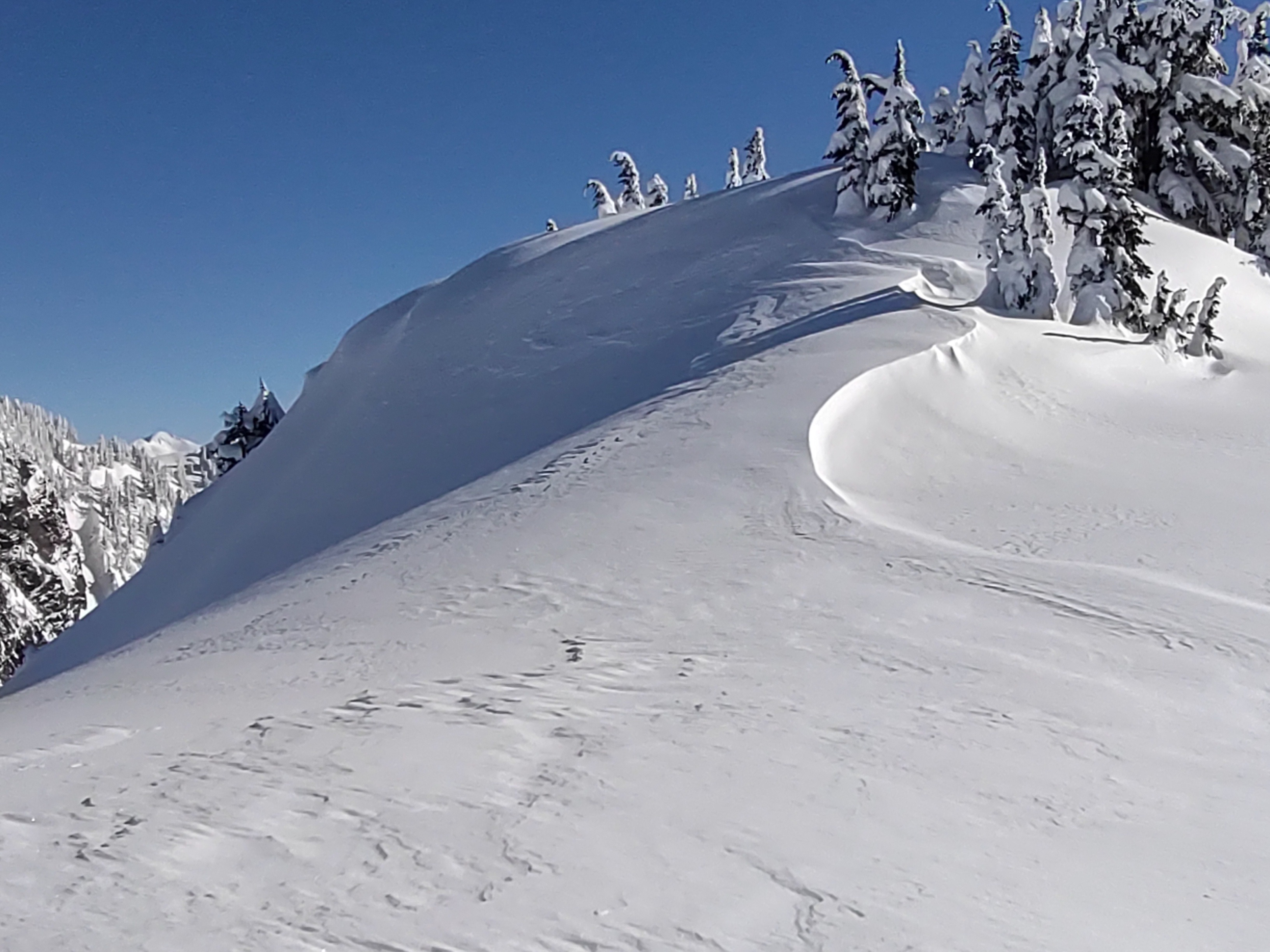
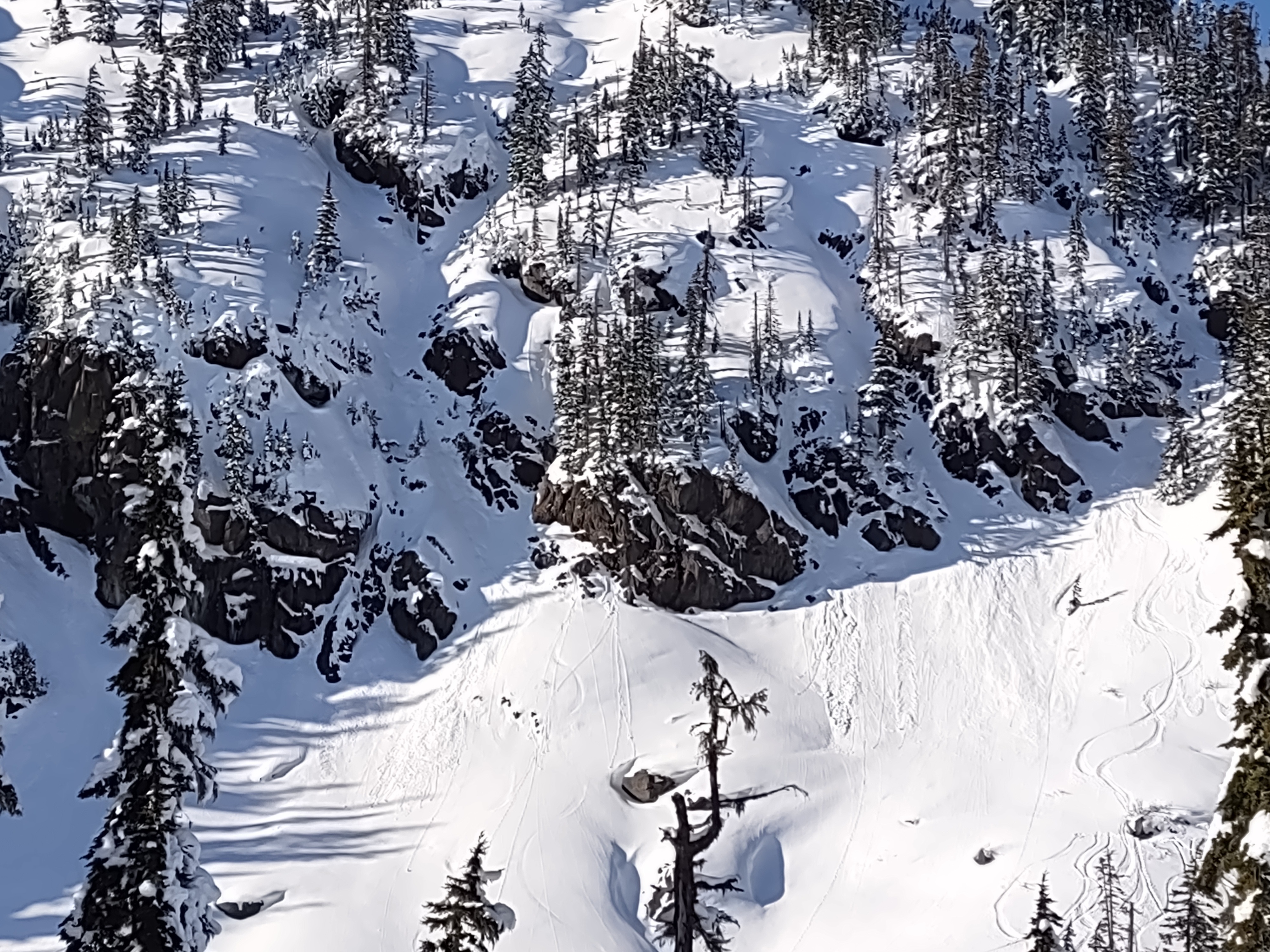
We enjoyed a beautiful and cold day on the mountain. Snow quality is still fantastic on all aspects. On solars and in direct sun, snow was becoming a bit heavier, but not wet. It was just to cold. There is a thin crust on some solars from Sunday, but this was minimal and hardly detectible or non existent. Winds were mostly light, but enough to produce some wind effect along the Ridgeline. No blowing snow visible from Shuskan or the typical areas in NE winds. A number of small loose avalanches, and old slab avalanches are visible, but I did not note any activity that I can say is new nor recent. The top foot of snow is beginning to undergo some degree of faceting.
Weather
- Air Temp
- 10s
- Cloud Cover
- few
- Wind Loading
- light
- Snow Avail For Transport
- large amounts
Sunny, clear and bluebird in the baker backcountry and mountains north near Canadian border but cumulus clouds were present southeast towards Anderson/Watson and highway 20. Cold temperatures.
Snowpack
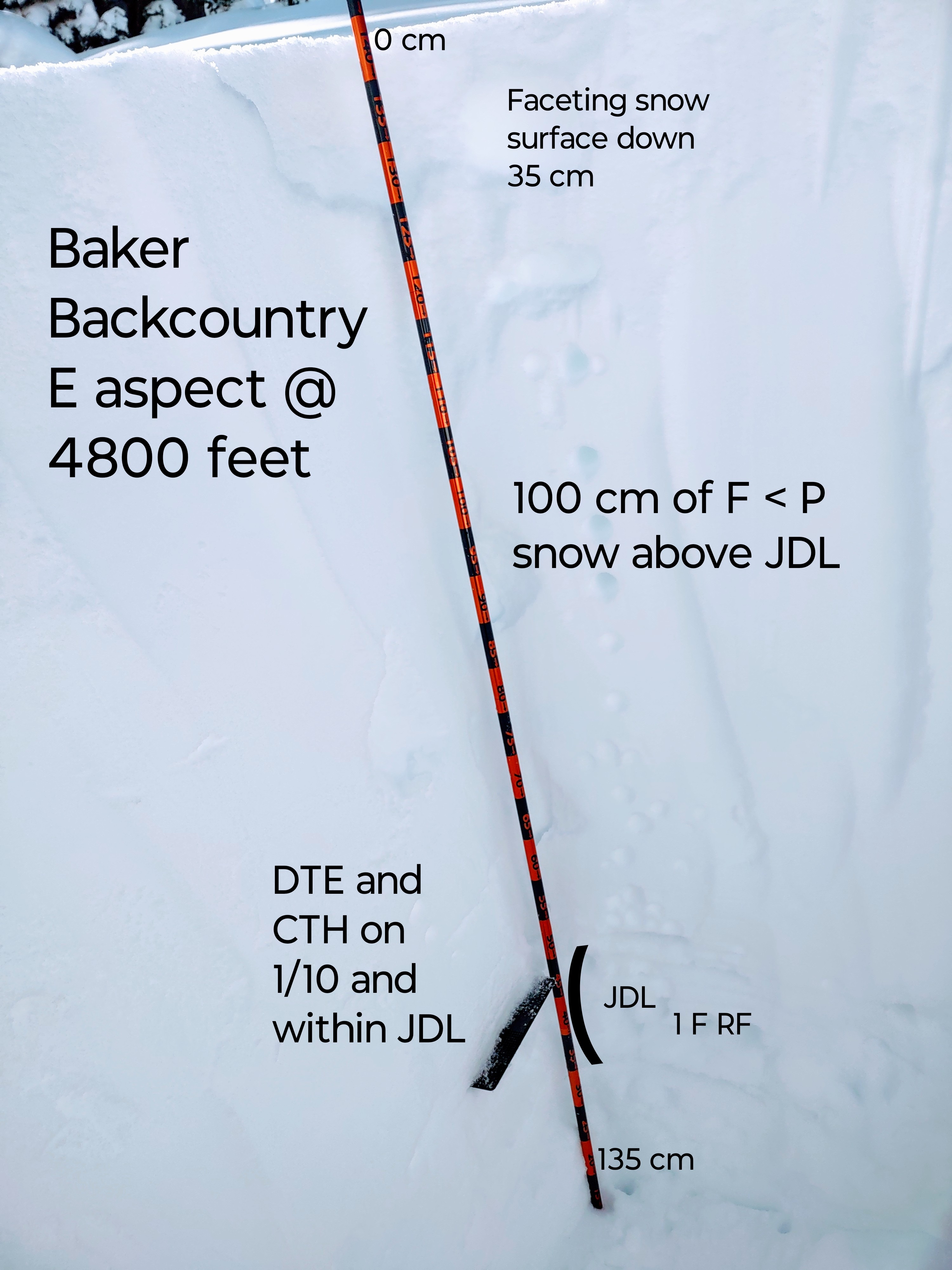
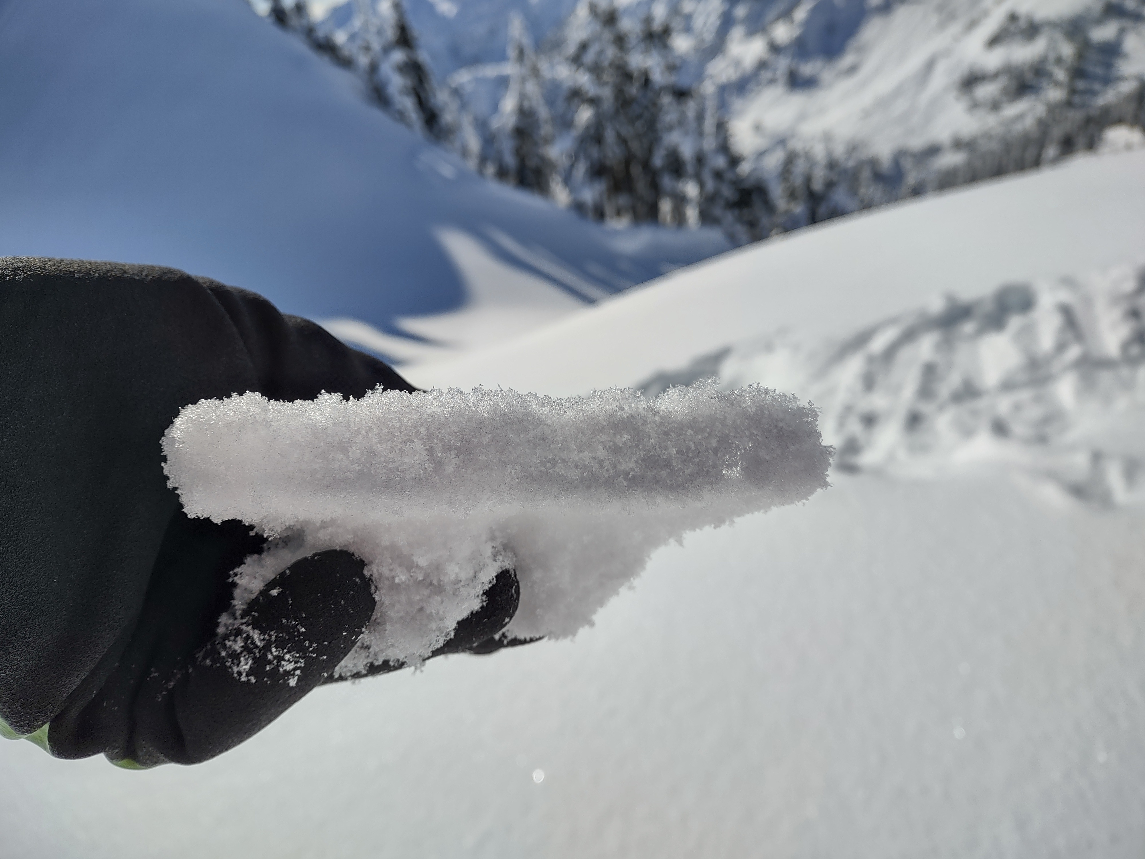
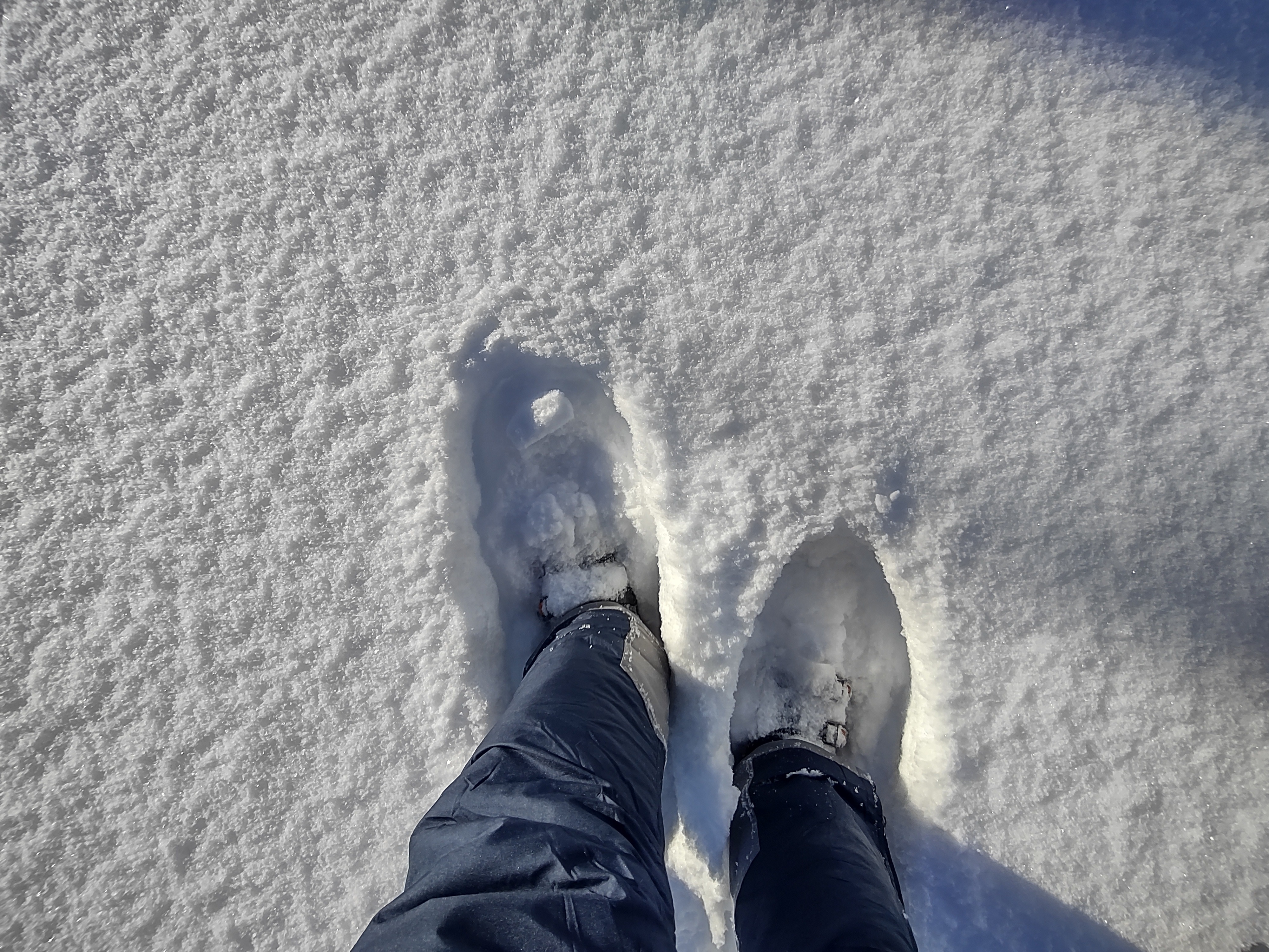
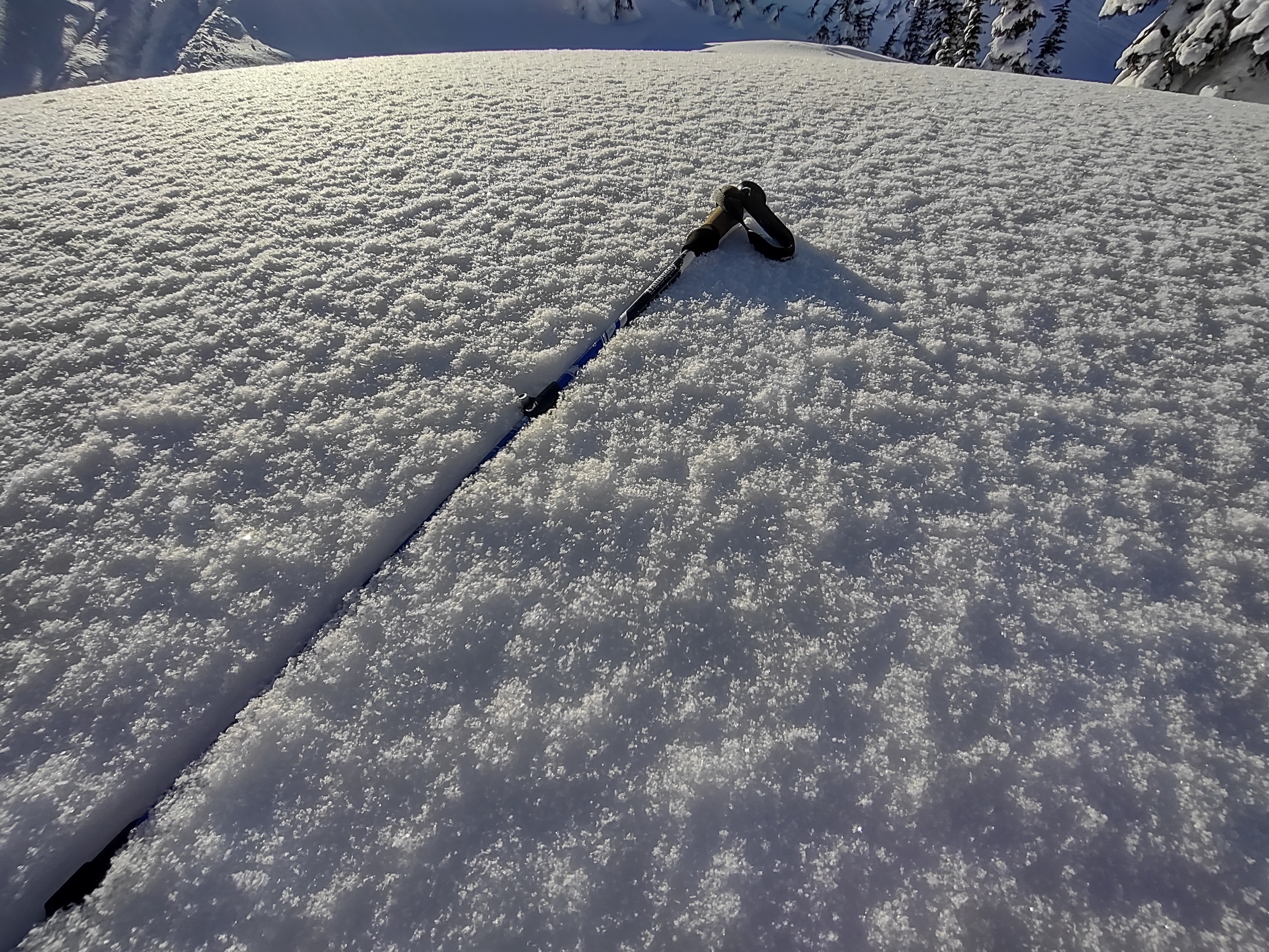
Still soft powder on all aspects, with faceting near the surface down 35 cm. The top foot of snow is very low density. Exceptions for a very thin crust 2-3 cm on some isolated solars. I also noted a separate thin crust down a bit below the surface on solars, which I believe may be from Feb 4th. Dug a pit on an east aspect at 4800 feet, targeting the JDL. In this location it was about 100 cm deep, and presented as a crust with weaker 1 F rounded facets above the 1/10 crust in between. DTT produced DTE5 SP result. CTH27 in a separate column on 1/10. The snowpack above the JDL is right side up F - P. A few storm interfaces were also identified, but not reactive to tests.