
Quick report
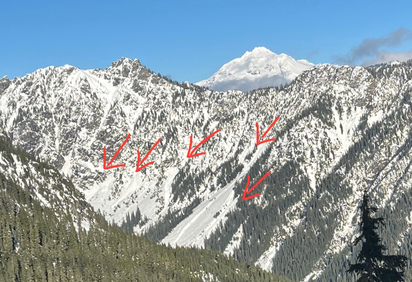
Treacherous skiing was the most notable part of the day. It felt hot in the sun when the sun broke through low and mid elevation clouds around noon. Crusts were present on all aspects up to about 5500ft, although they broke down at lower elevations and on sunny slopes. Despite the crusts breaking down, I couldn't find or trigger any new wet loose avalanche activity on steep, sunny slopes. Old wet loose avalanche activity was visible from Sunday and Monday, and there are a few shallow slab avalanches which also likely occurred early Sunday.
Weather
- Air Temp
- 33
- Cloud Cover
- few
- Wind Loading
- previous
- Rain Elevation
- 3500
- Recent Snowfall
- 1
- Snow Avail For Transport
- none
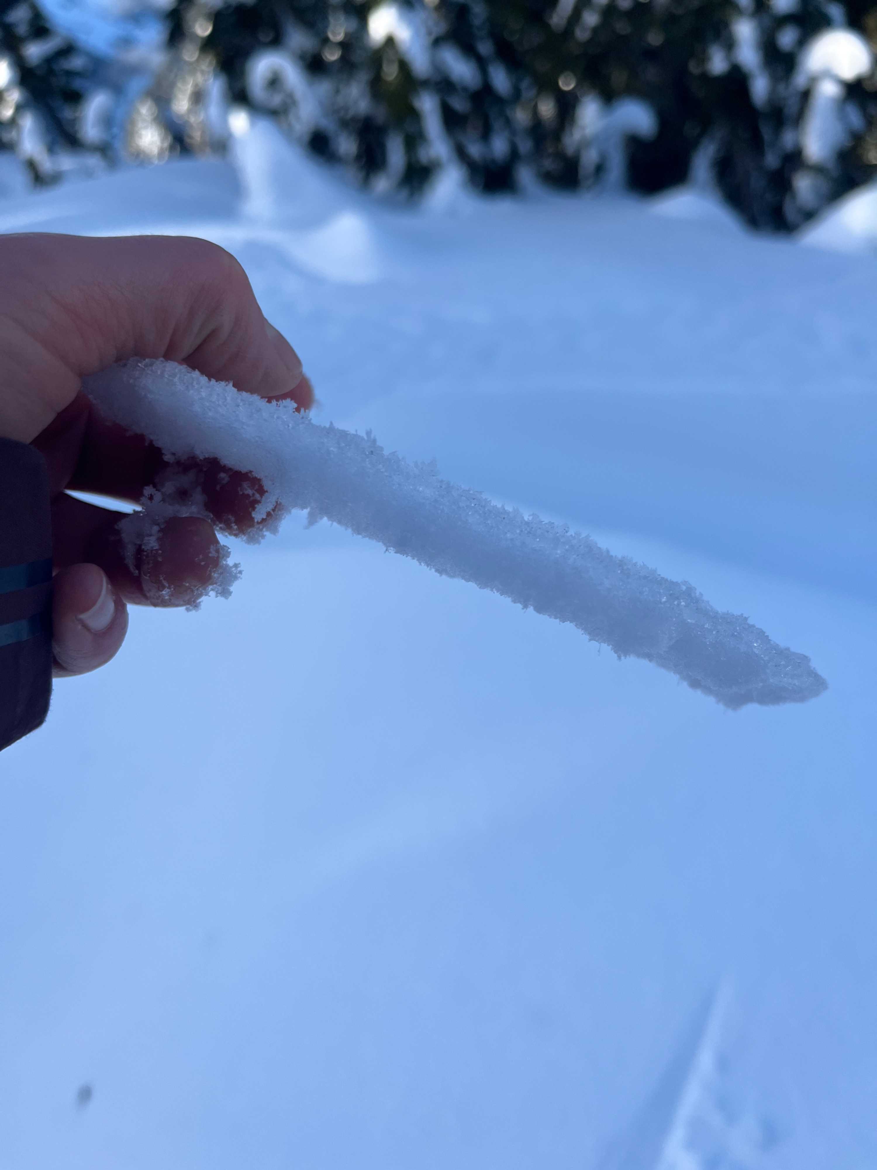
Low and mid level variable clouds that reached up to at least 5500' opened up at about noon and we had clear skies for a couple hours at 5000ft. The clouds continued to drift around, increasing again at about 2pm. Less than an inch of snow fell overnight, but at 5100ft in the shade there was a thin melt freeze layer on the surface.
Snowpack
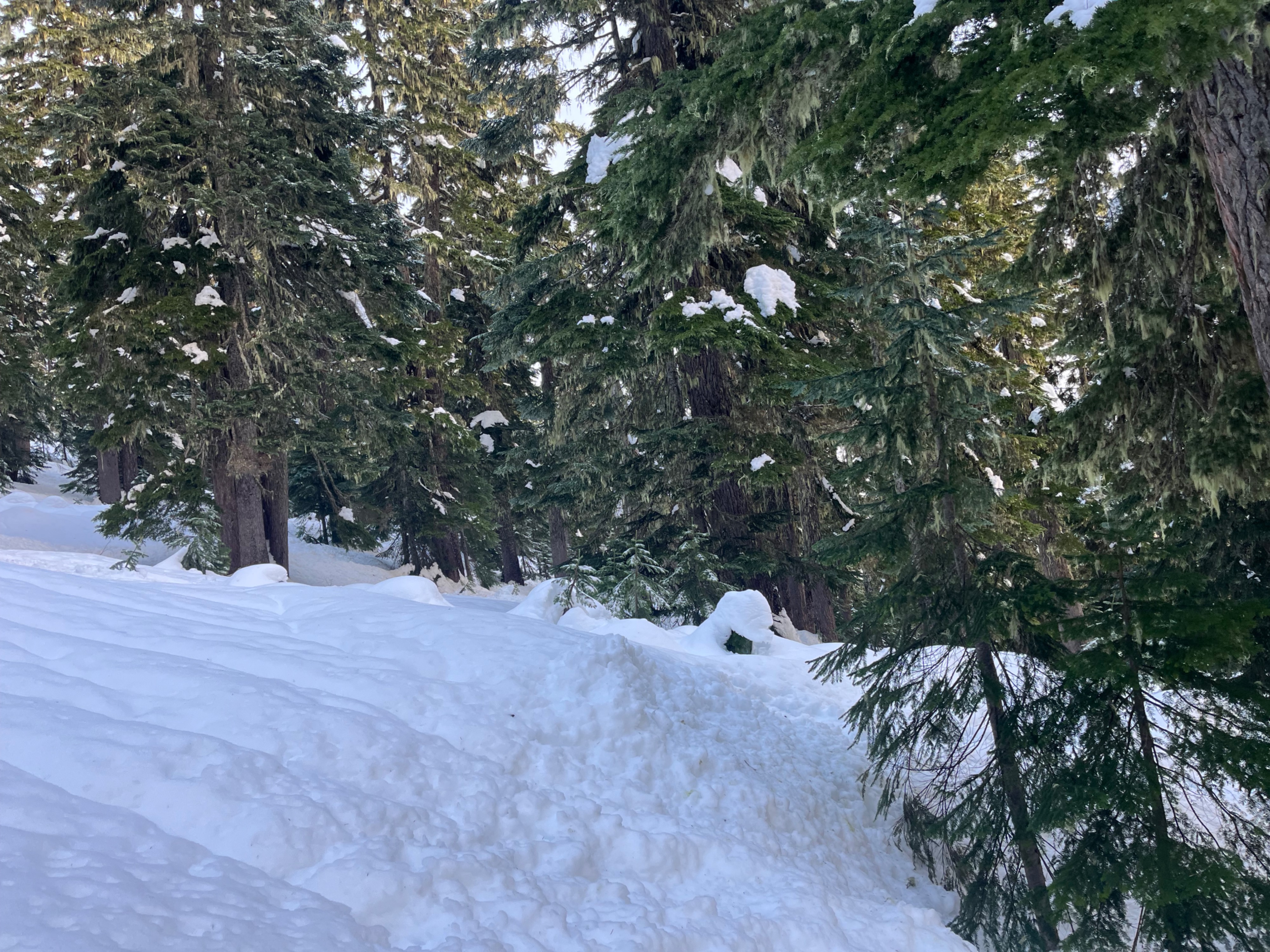
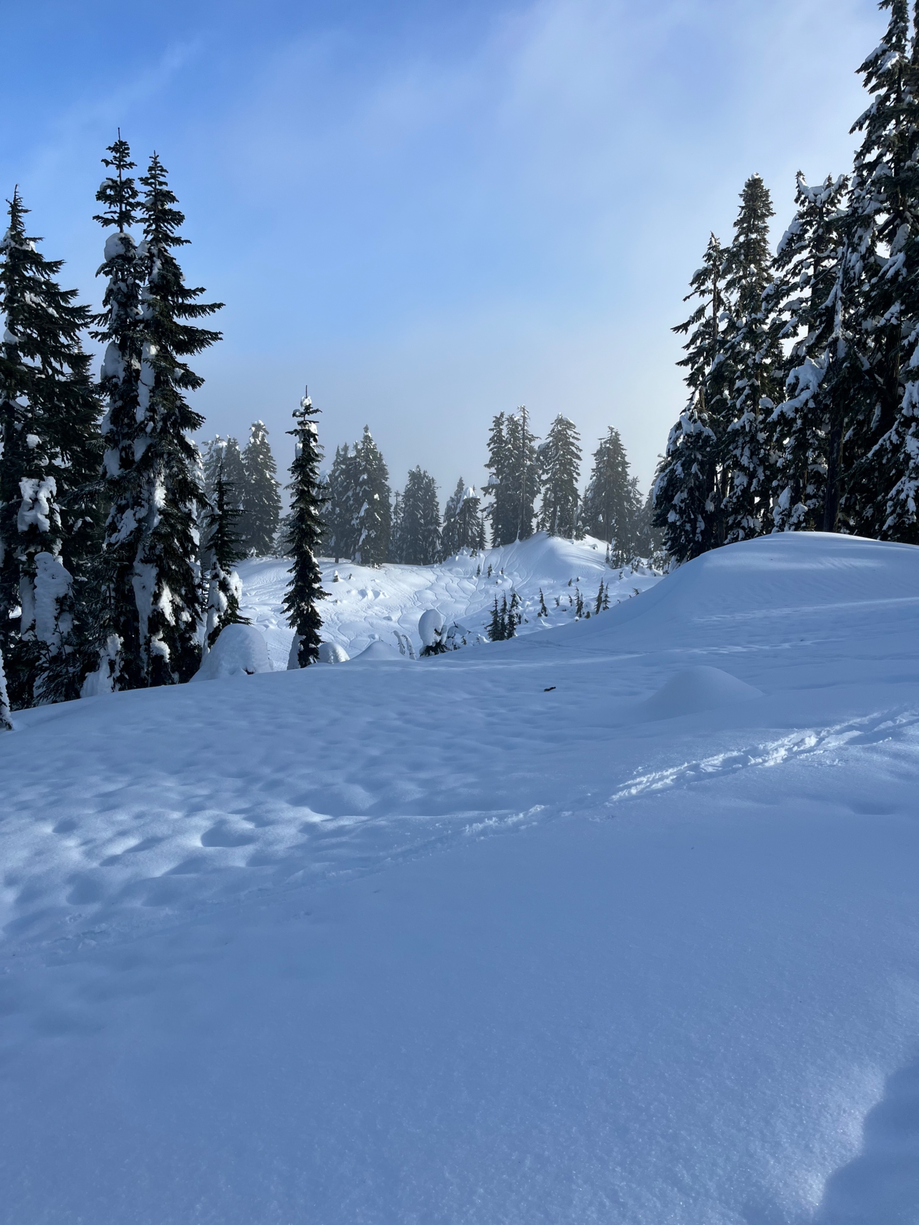
Snow started in thick trees at about 2500ft. Lower elevation snow was moist, and lacked a crust until about 3500ft. Upon my descent around 2pm, crusts had softened up to 4500ft in shady treed areas. All the way to my max elevation just over 5000ft a breakable crust was present on all aspects. It softened on south, then west aspects as the sun came out around noon. Skiing was treacherous everywhere, whether due to a breakable crust or sticky snow.
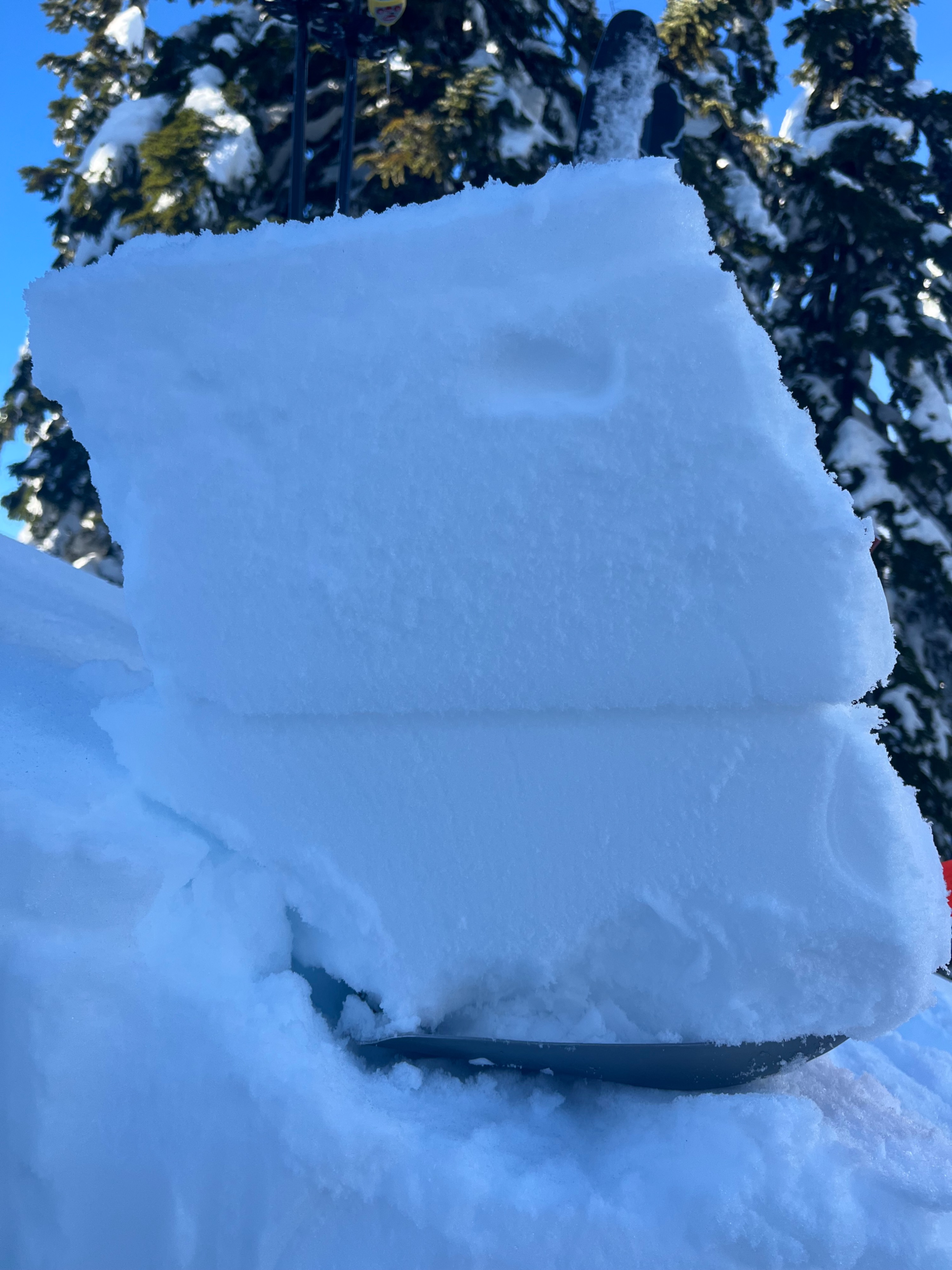
Snow heights at 5000ft were around 250cm and the solstice crust was down 100-150cm. I dug two pits, on a west and north aspect at about 5000ft. Both pits produced the same results, moderate compression tests, resistant planar, on a storm interface just under a foot below the surface. No propagating results occurred. This is the same result as what I saw at Stevens Pass yesterday. At the surface there were actually two crusts- the thicker crust from the warm storm that concluded on Sunday, then there was a thin layer of needles and decomposing forms and then another much thinner surface crust.
Avalanche
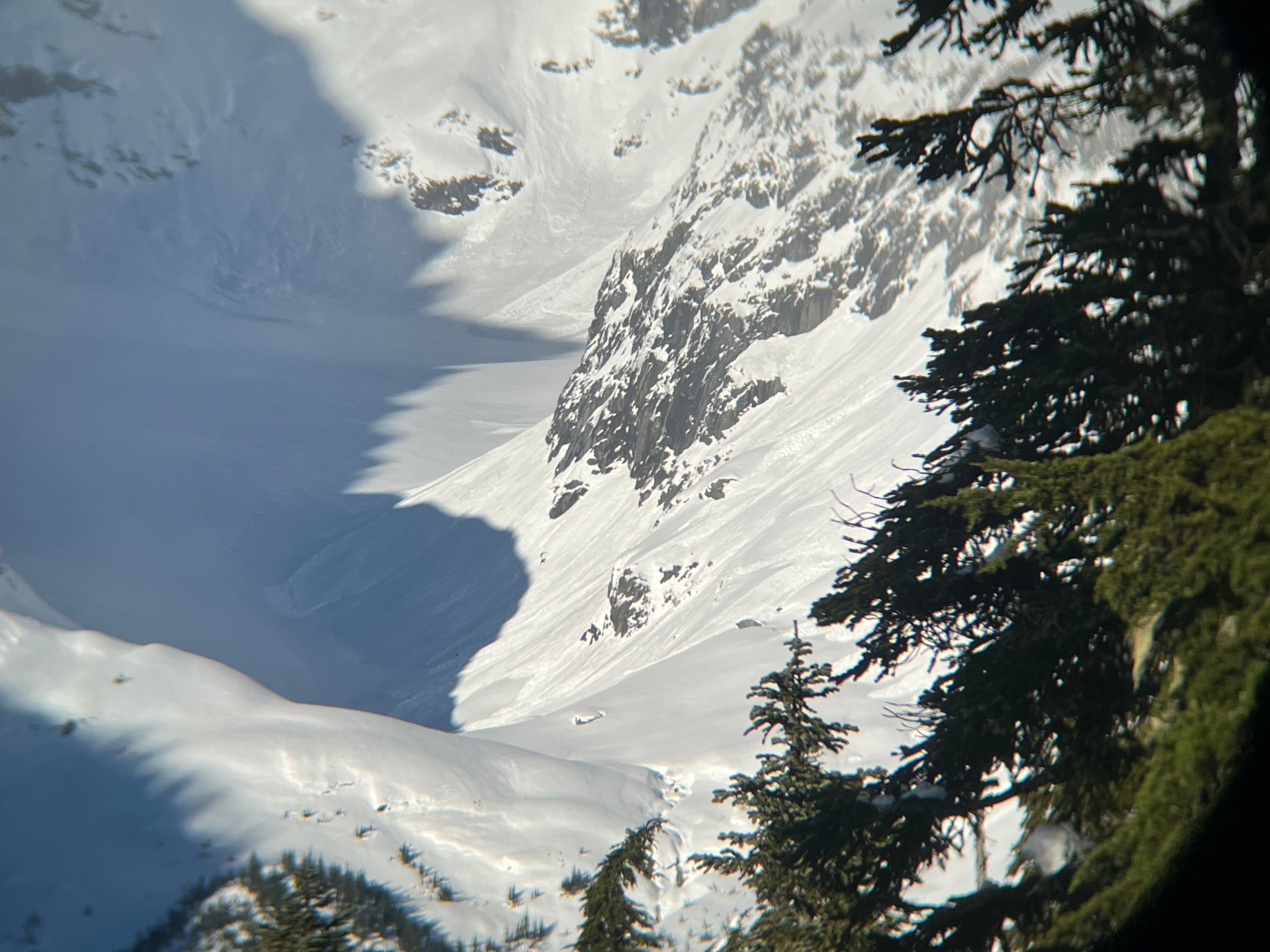
I saw several old wet loose avalanches, almost all of which had inititiated from very steep rock bands. There were plenty of locations where I've previously seen slides but there hadn't been any activity on these slopes in recent days. There were also a few shallow slab avalanches, which likely ran at the end of the storm, early Sunday. I didn't see any new avalanches from today. Even the snow that got wet was very stubborn and didn't want to move anywhere with my pushing it on steep slopes. No recently wind transported snow was visible anywhere, even at higher elevations.