
Quick report
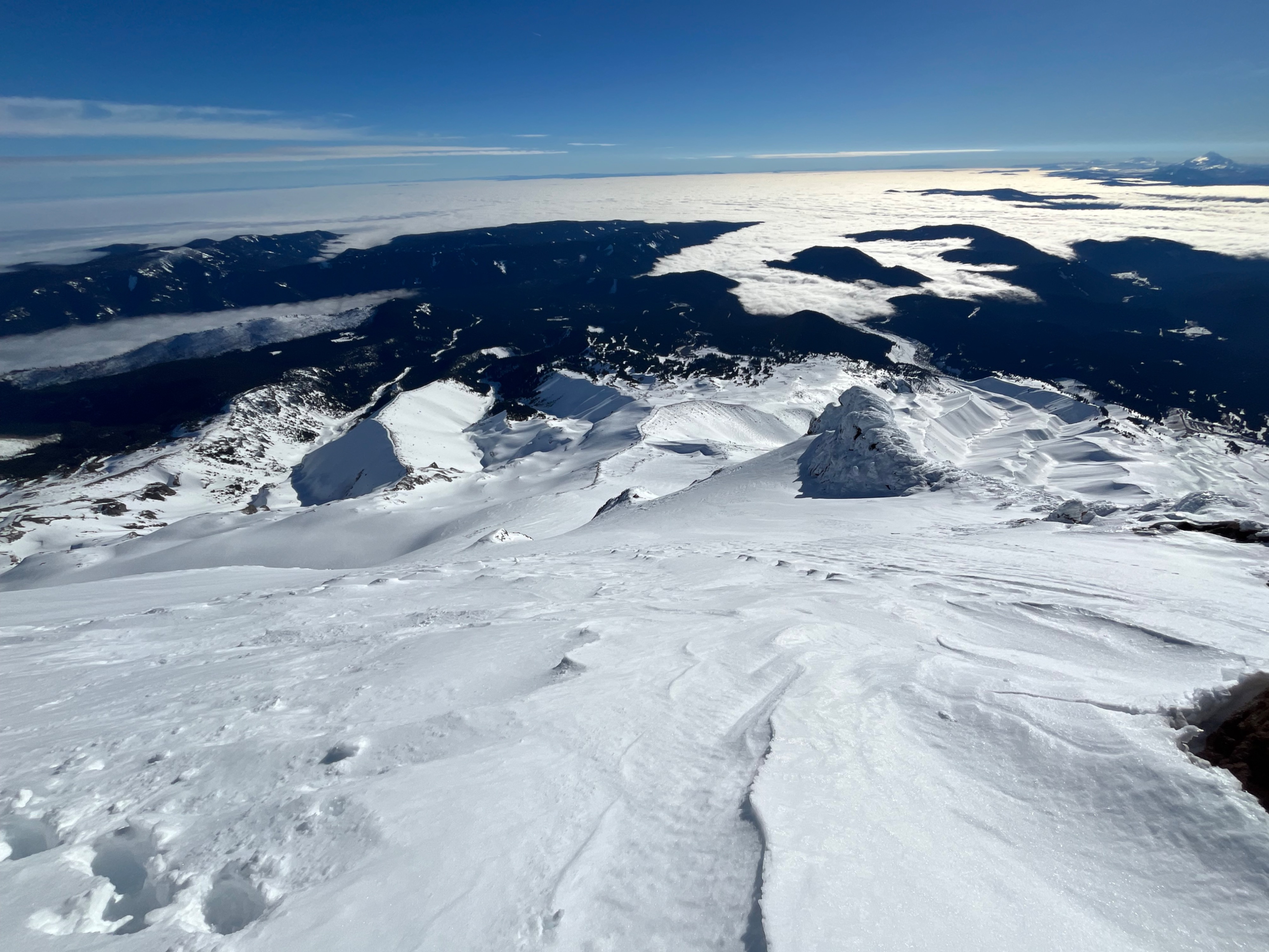
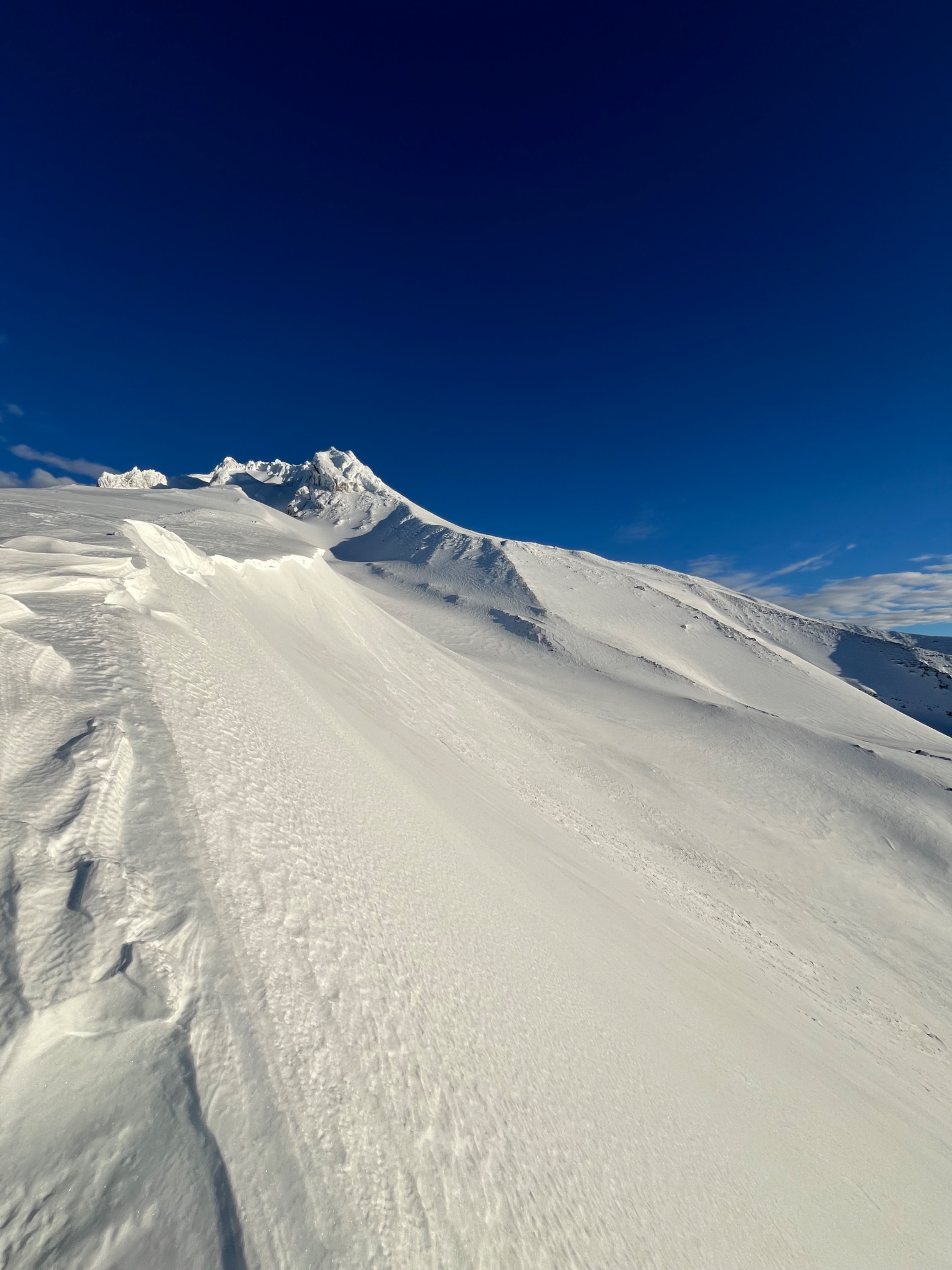
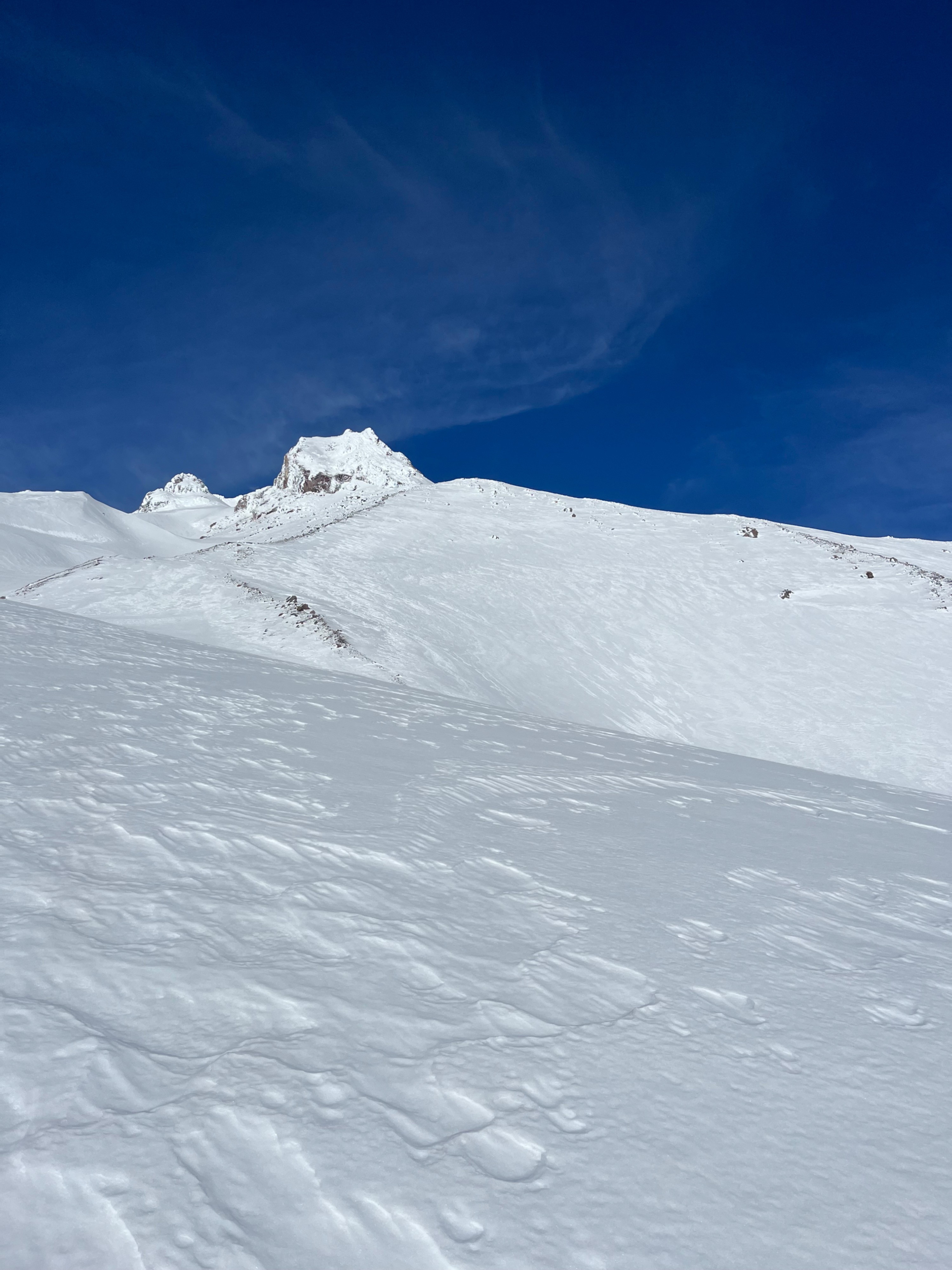
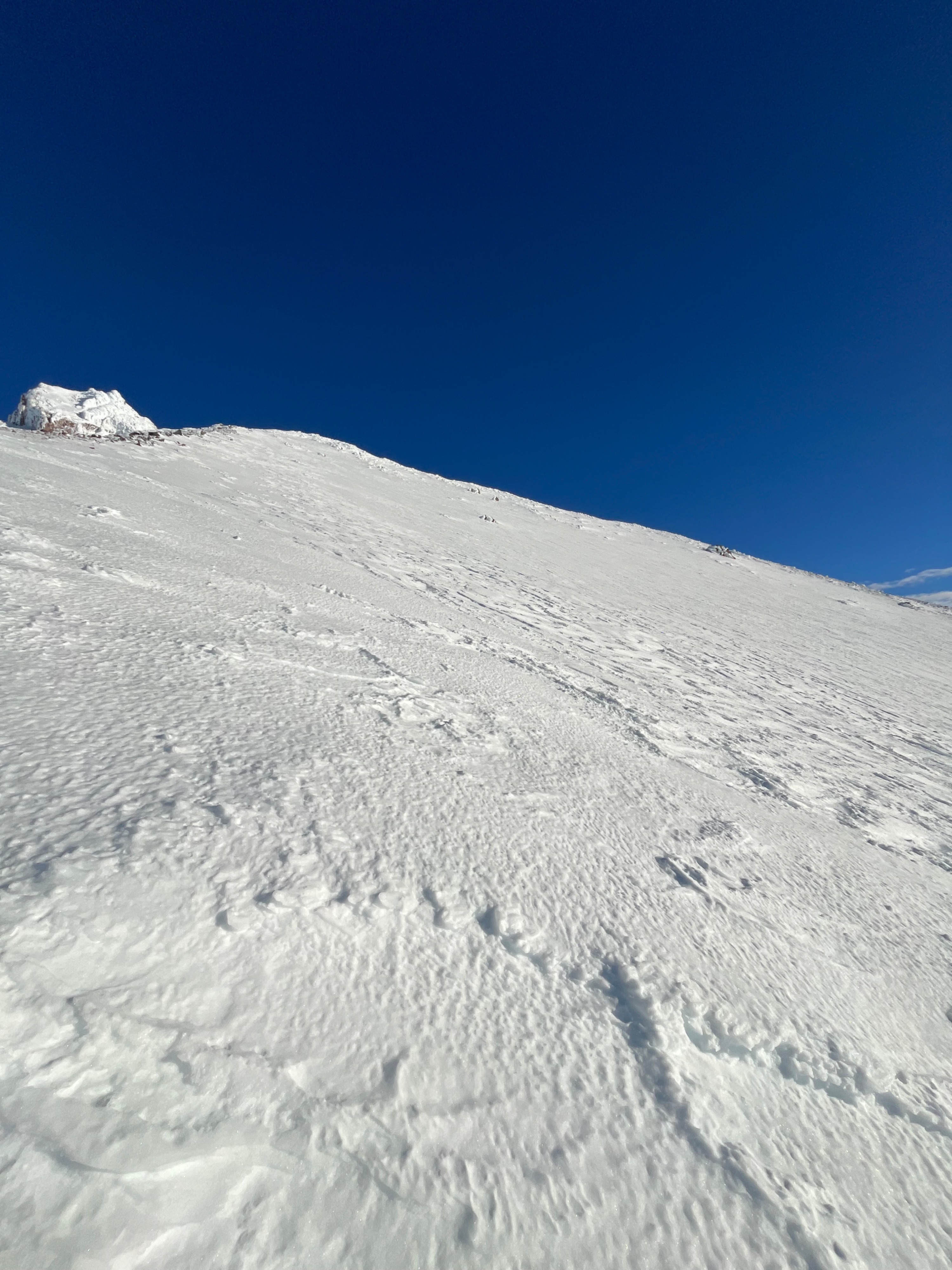
The rain crust was pervasive in the low elevation, specifically on low angle slopes, which have not been receiving much energy from the low angle winter sun during this week’s period of high pressure. On steep slopes above 8k’, I found wintery snow which had been wind affected, but had developed a thin crust which was breaking underfoot in the morning, and decomposed by 1230. Above 9k’, the crust had abated and boot pen was consistent at about 10cm, and travel was smooth and consistent. From ~ 9.5k’-10.5k’, there were isolated pockets of wind drifted snow. At times boot pen increased to 25cm, this snow was warming, forming easy snow balls and not staying adhered to the interface below. No entrainment or wet activity observed due to a light wind keeping the surface cooler than just below. Ski quality was good on steep, solar slopes. Slight aspect shifts away from direct sunlight were cooling from the morning sun. Crossing the flats in white river, the crust still existed on shady and low angle slopes at 1230. My questions for the low pressure period coming this weekend will be how the new precip affects or bonds to the variable surfaces across the mountain.
Weather
- Air Temp
- Above freezing
- Cloud Cover
- few
- Wind Loading
- none
- Rain Elevation
- ~8k’ in white river
- Recent Snowfall
- NO
- Snow Avail For Transport
- none
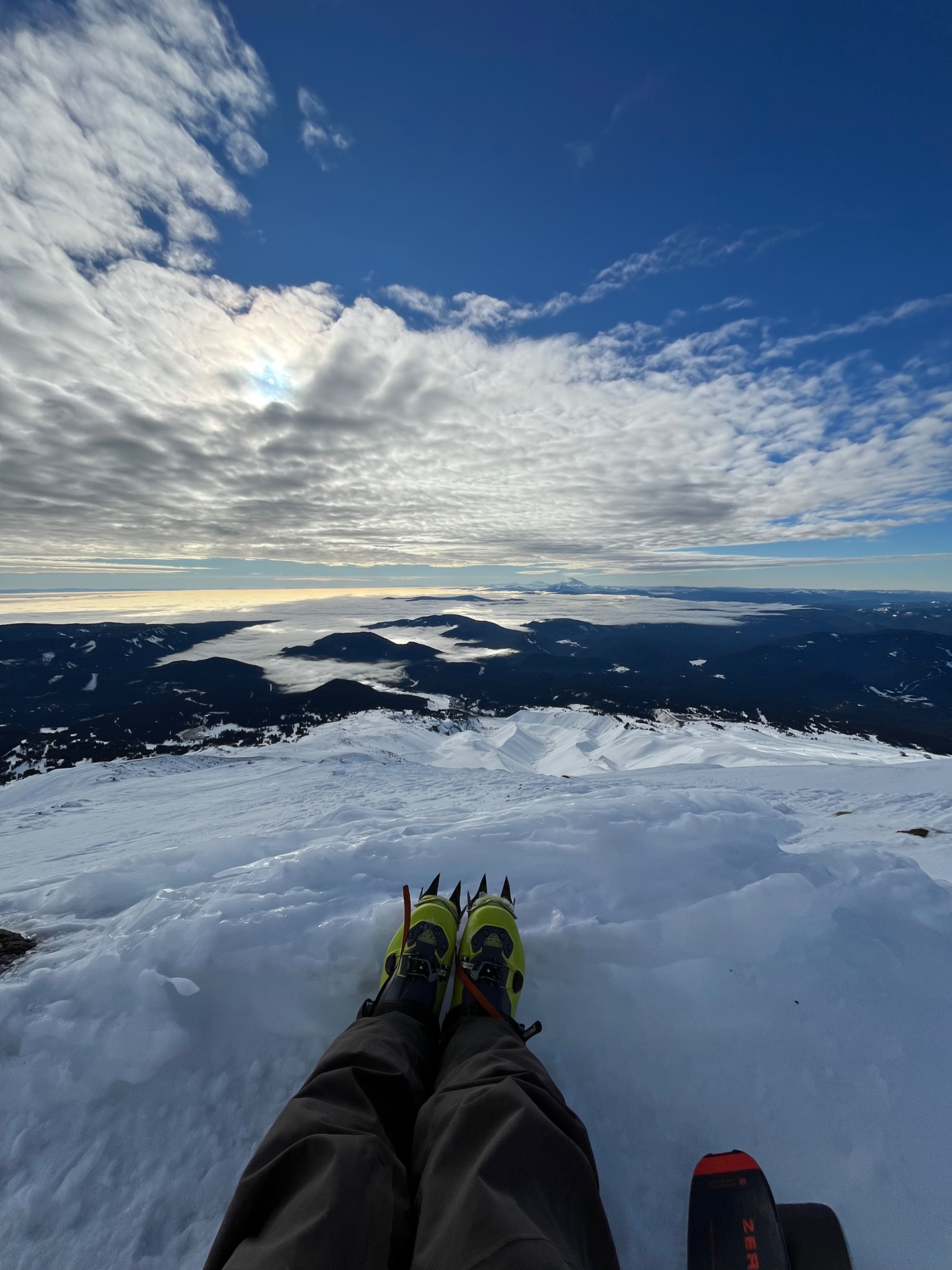
A pleasant day. Mostly sunny and calm day, interrupted by a brief period of cloud and moderate wind at 1030.
Snowpack
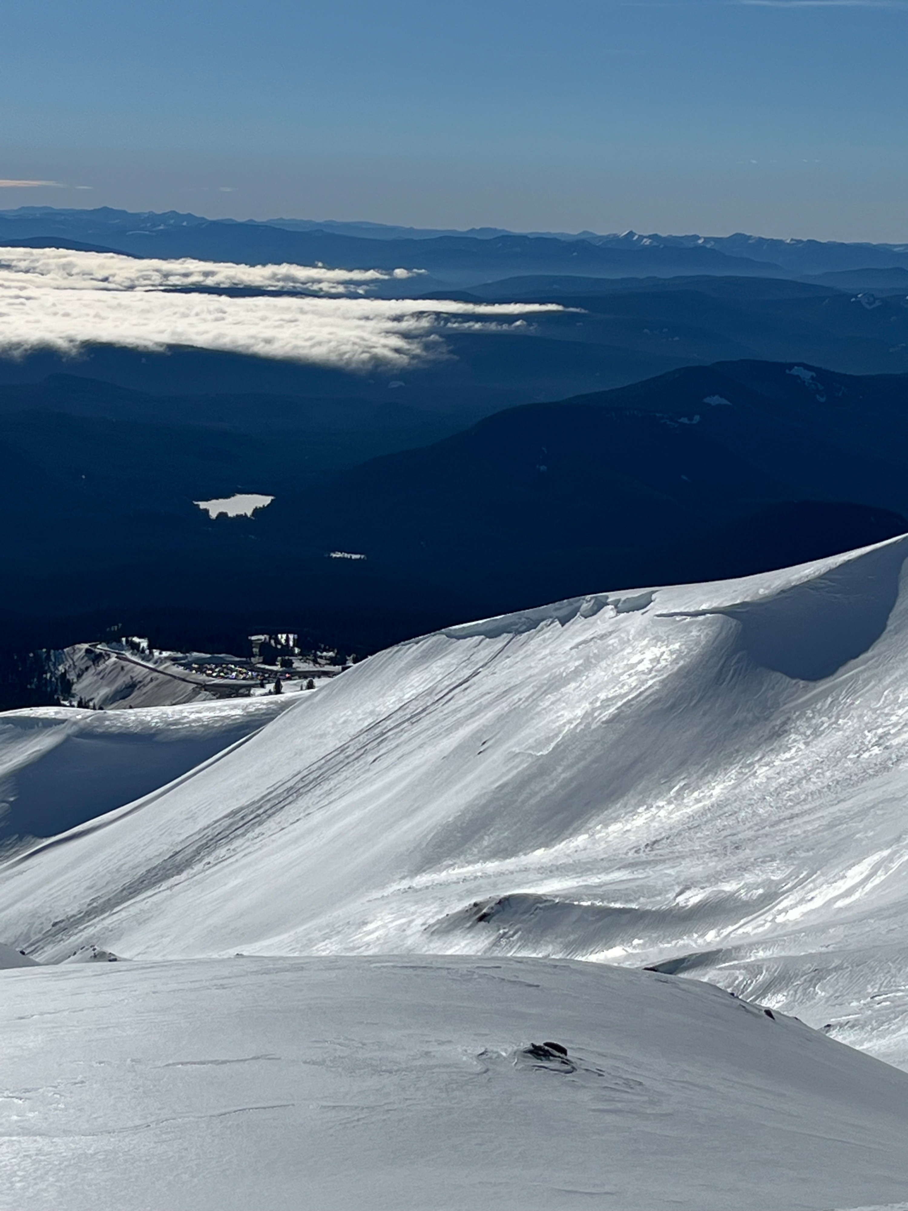
Stable snowpack. No signs of instability observed. Wintery snow exposed at high elevations above 8k’. Rain crust preserving winter snow at mid elevations. Saw two old failed cornices in White River.