
Weather
- Cloud Cover
- overcast
- Wind Loading
- previous
- Recent Snowfall
- 3
- Snow Avail For Transport
- moderate amounts
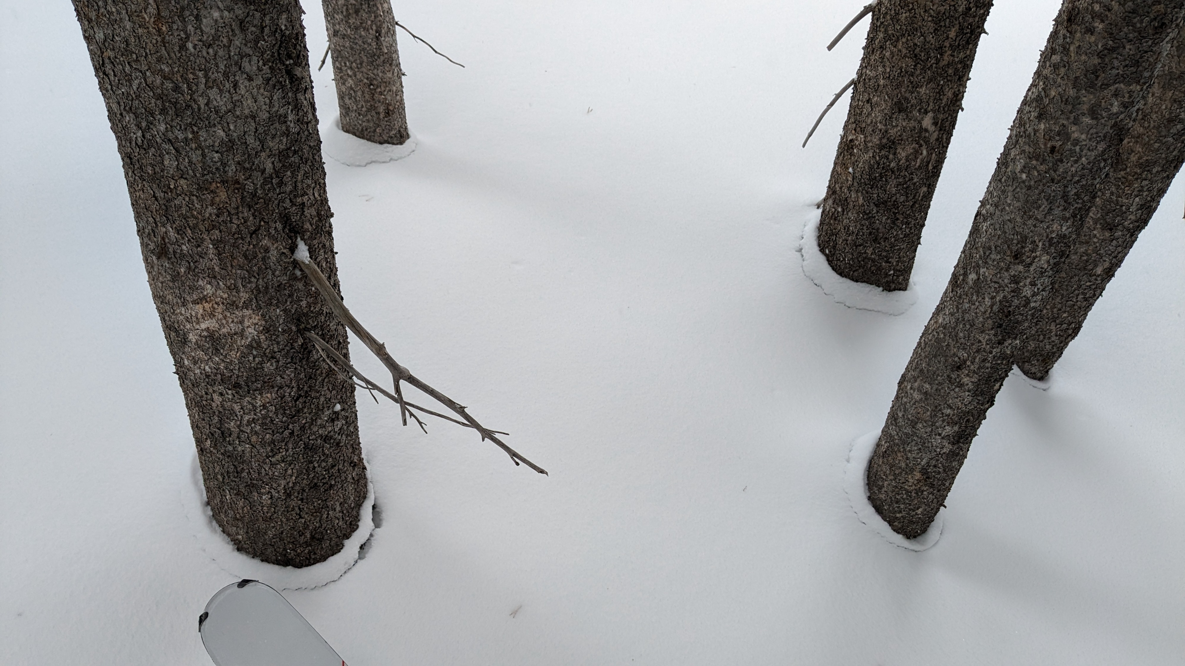
Very light snowfall today with cloudy skies. SW winds were increasing into the moderate range throughout the day with some wind transport occurring.
Snowpack
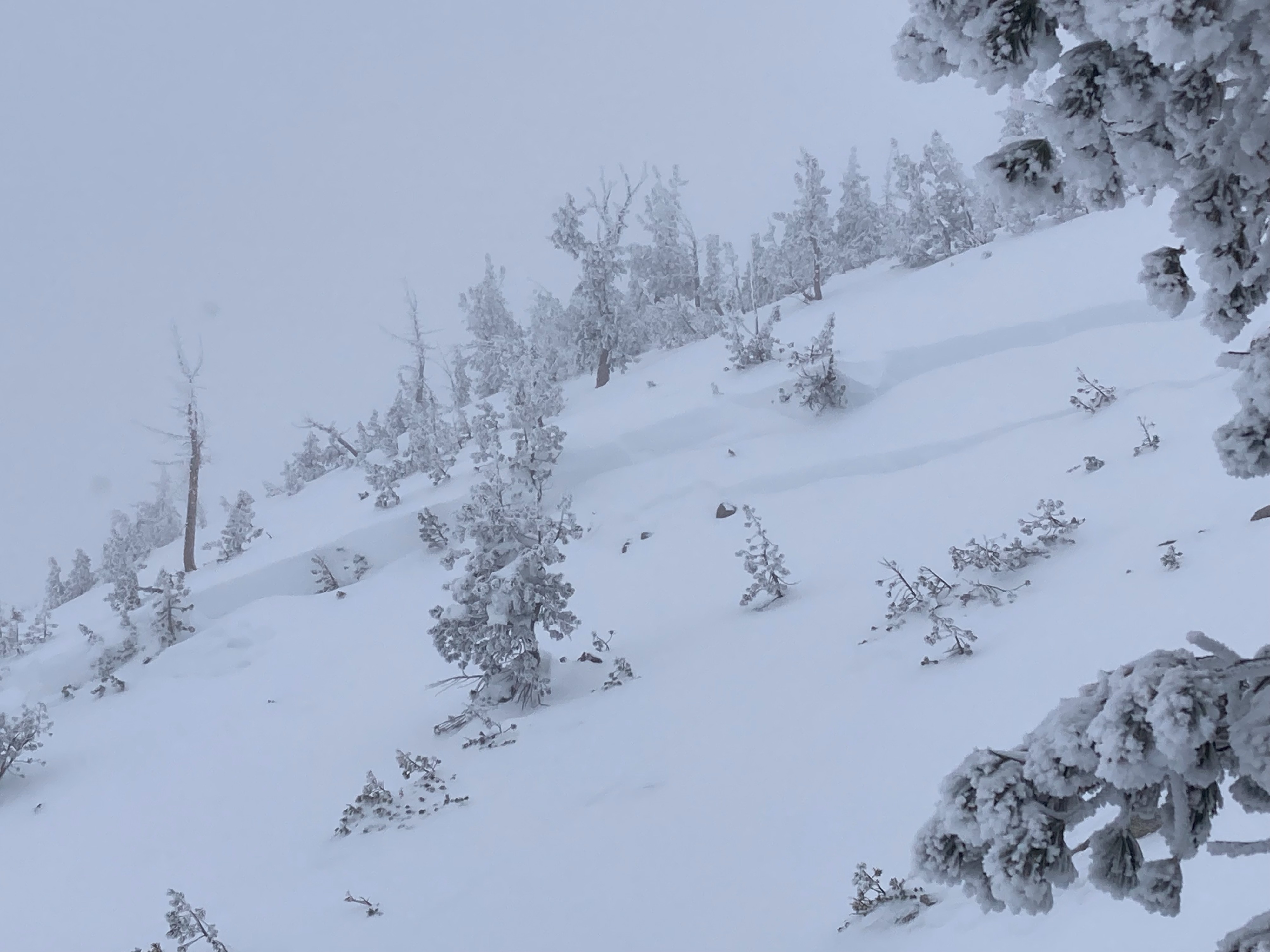
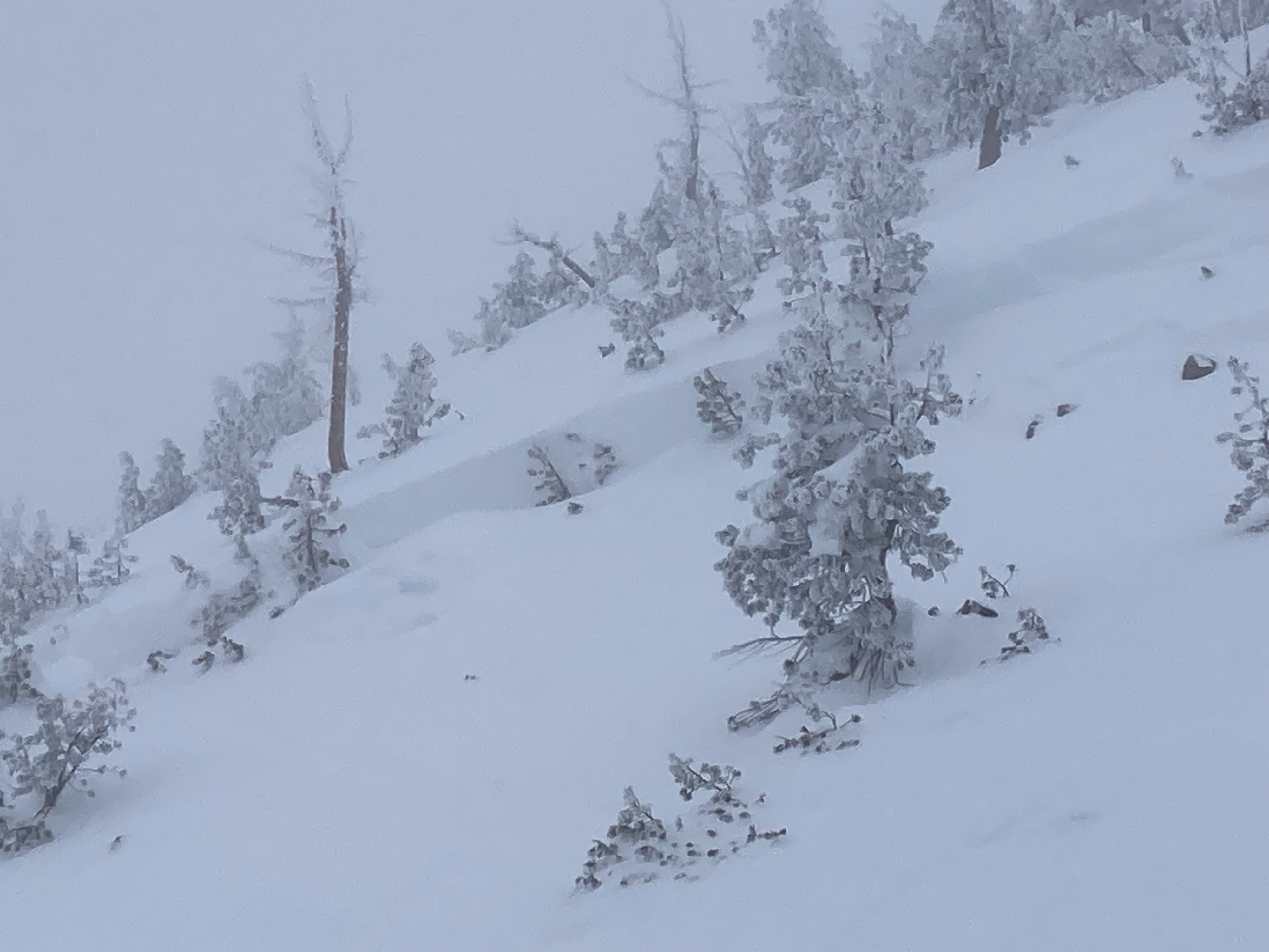
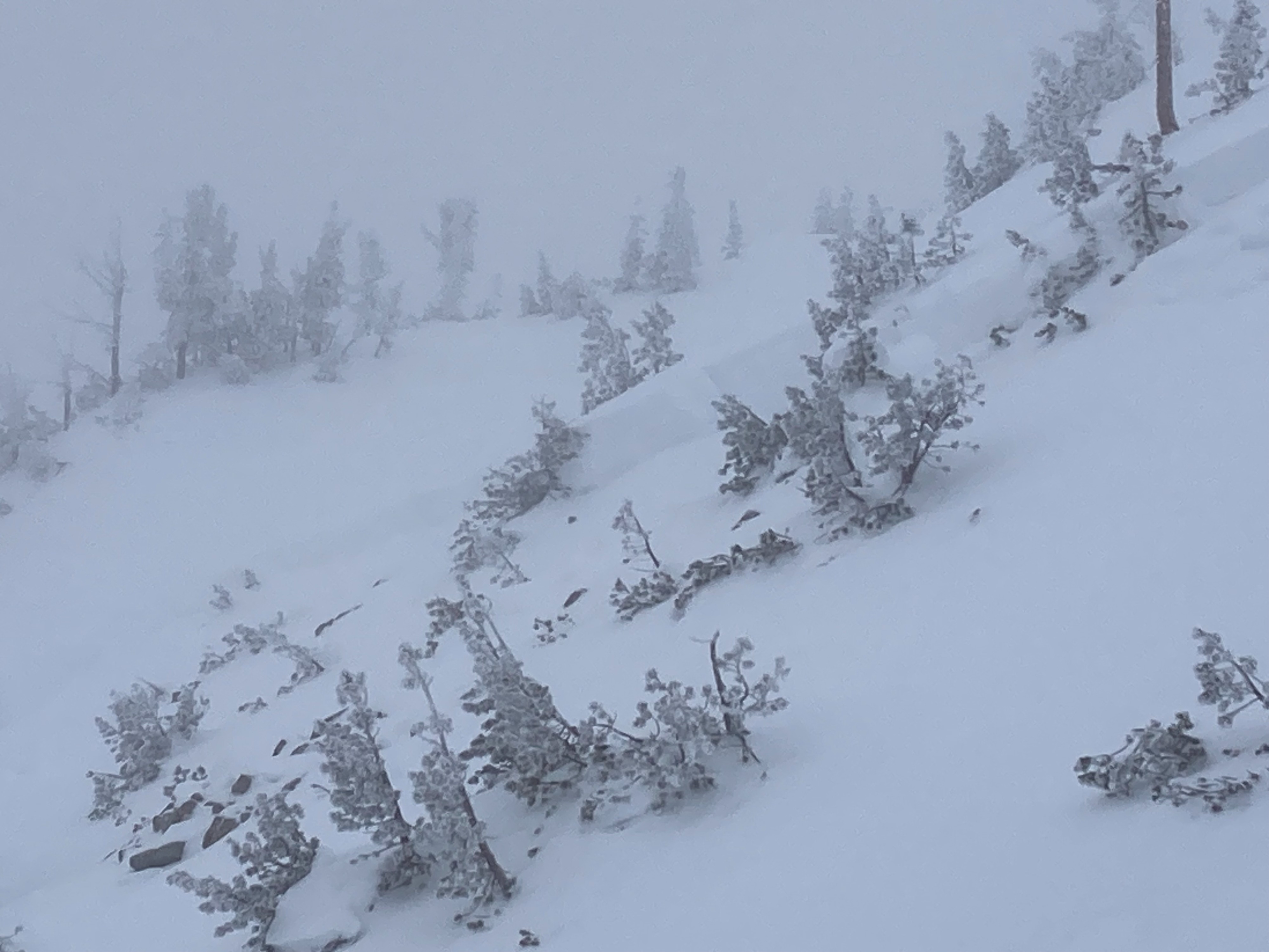
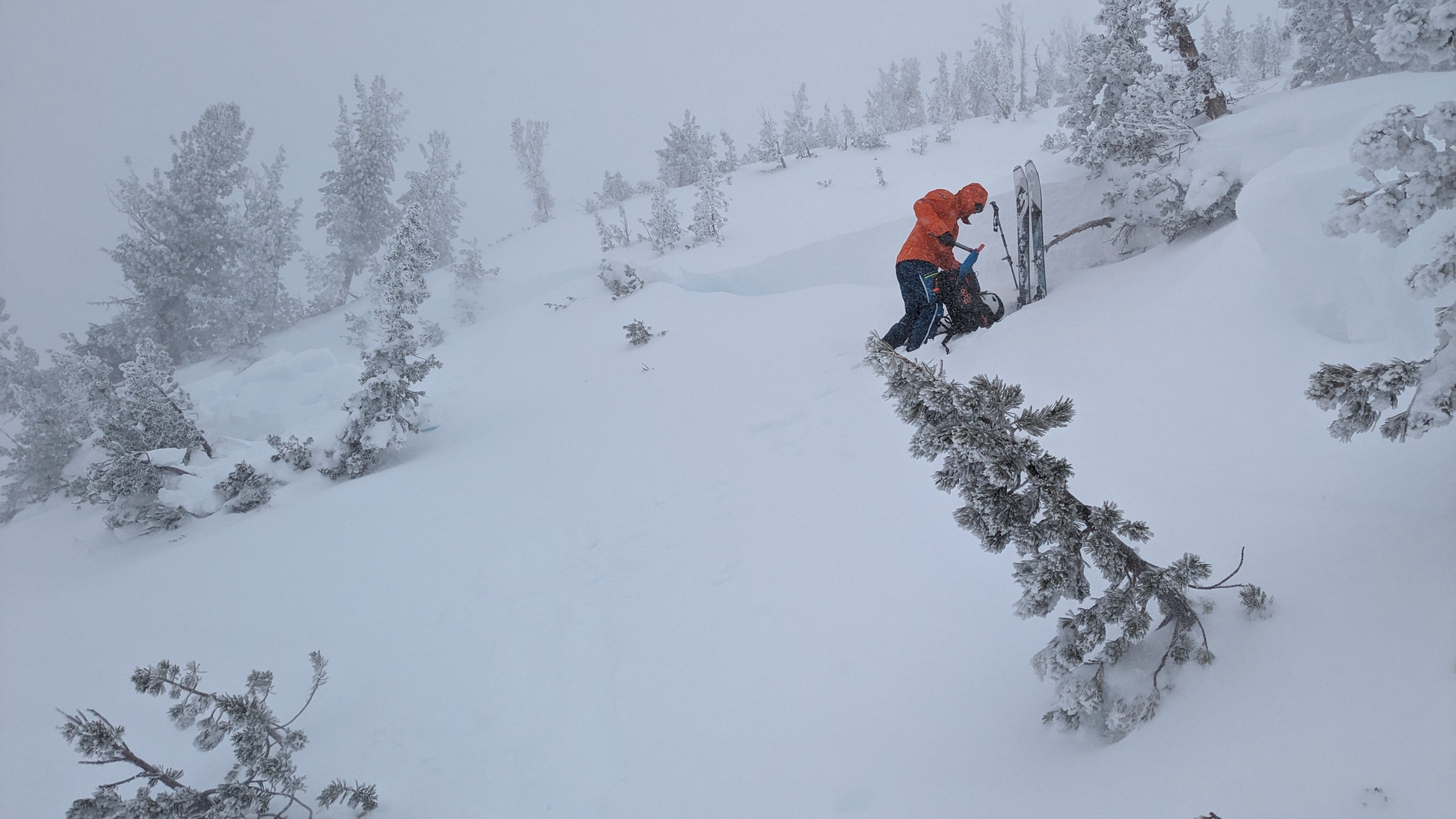
We went to Relay Peak in the Mt. Rose area to investigate the deep slab avalanche that was reported on Monday February 5. This D2 avalanche was approximately 300' wide and ran around 150' downslope, with the crown line around 4 to 5 feet deep. As we were approaching the crown line, we found the bed surface to be a firm crust which turned out the be the Dec 19 rain crust. Back in December, weak faceted snow formed on top and below this rain crust. During the Feb 4-5 large storm loading event, this avalanche was snowmobile triggered by a group riding on the slope Monday afternoon. Snowpack tests and informal observations today did not show any continued weakness on or around the Dec 19 pwl-see the snow profile for more detailed information. Additional snow and blowing snow since the afternoon of Feb 5 did partially covered up the avalanche and debris.
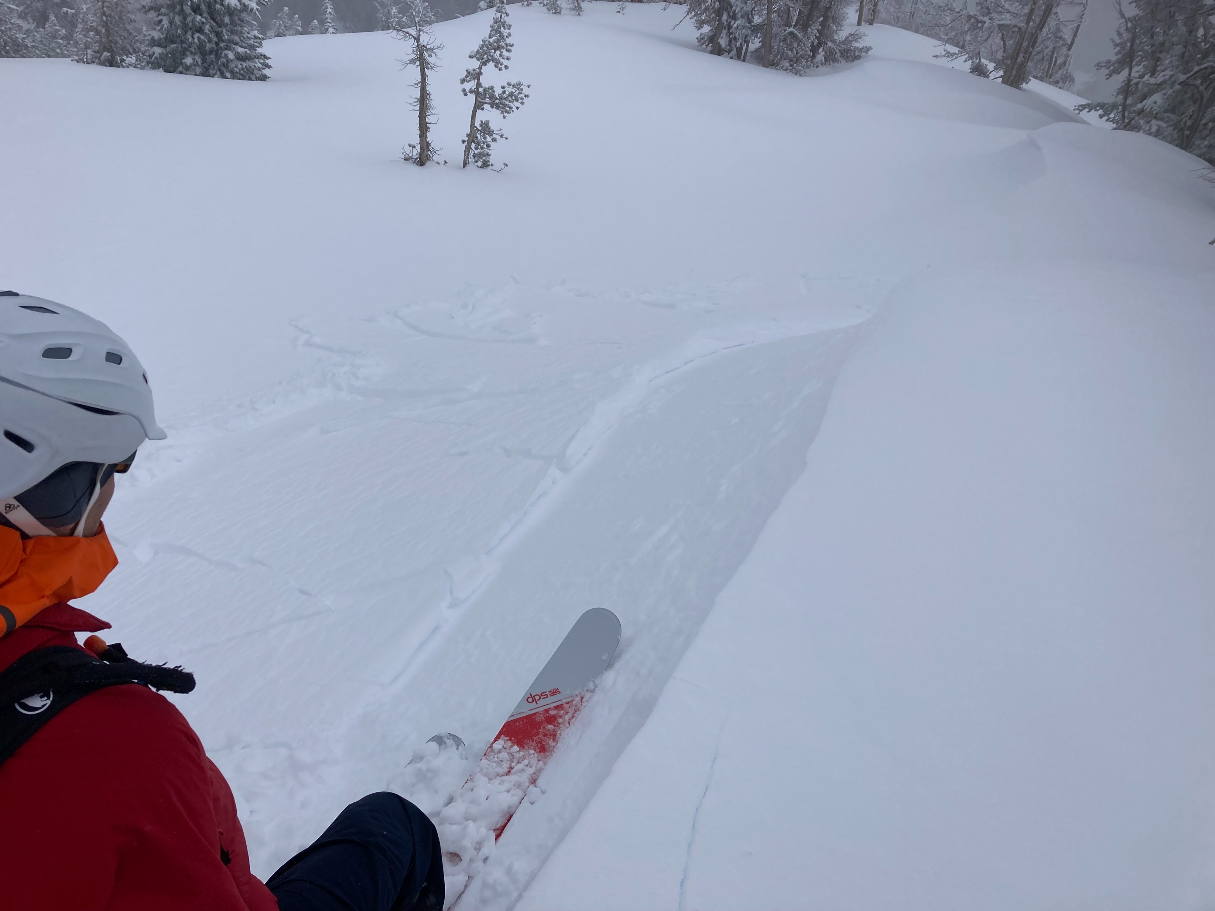
Winds were increasing today with some blowing snow occurring. Previous wind transport had formed small and reactive wind slabs in this area. These wind slabs were easy to trigger on small test slopes.
Avalanche
- Size
- D3
- Type
- HS
- Aspect
- N
- Trigger
- AM
- Elevation
- 9900 ft