
Quick report
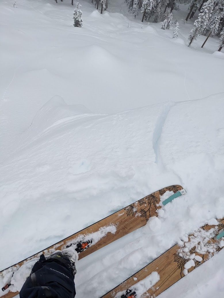
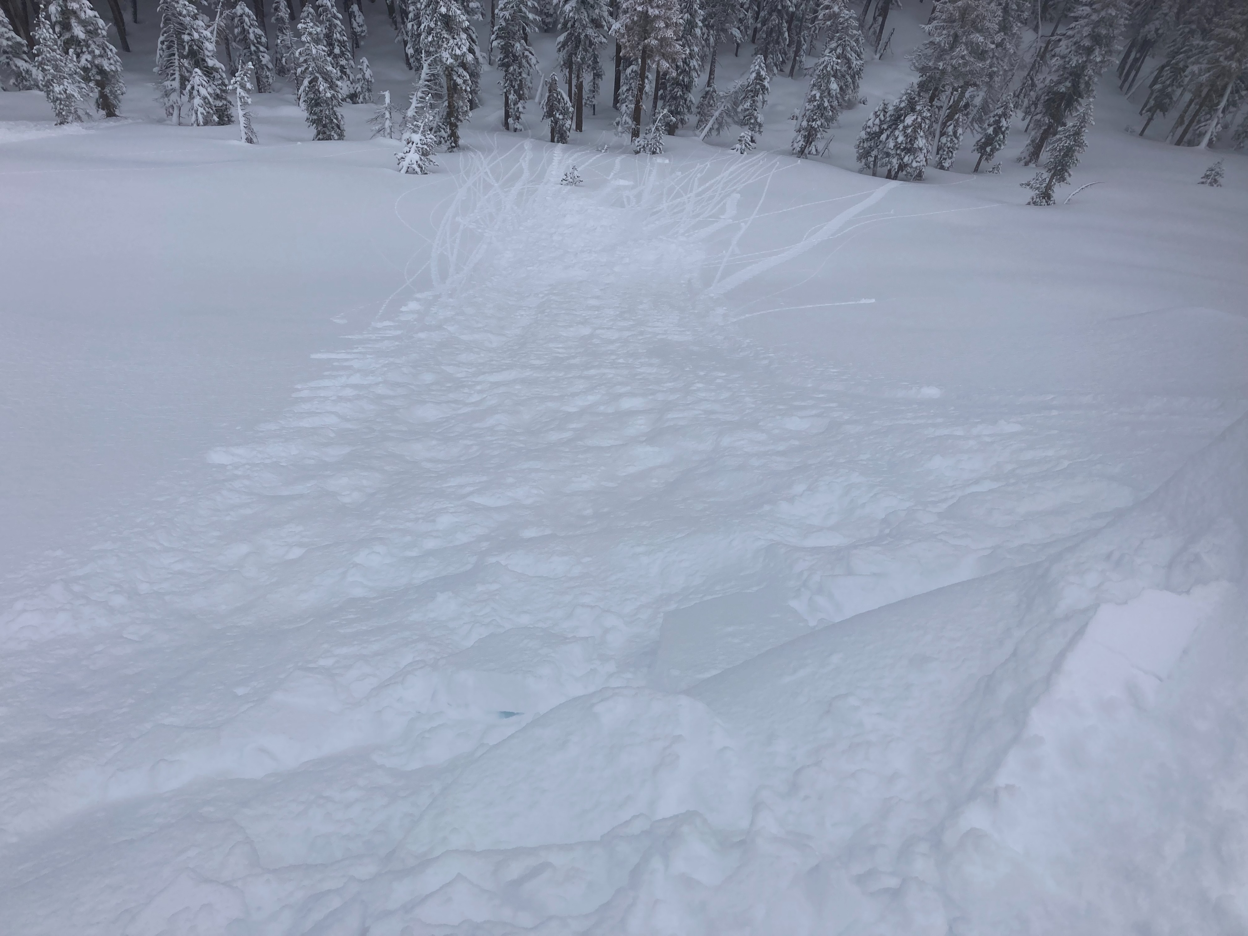
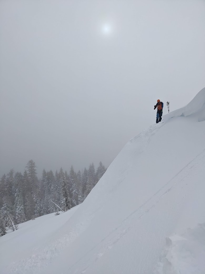
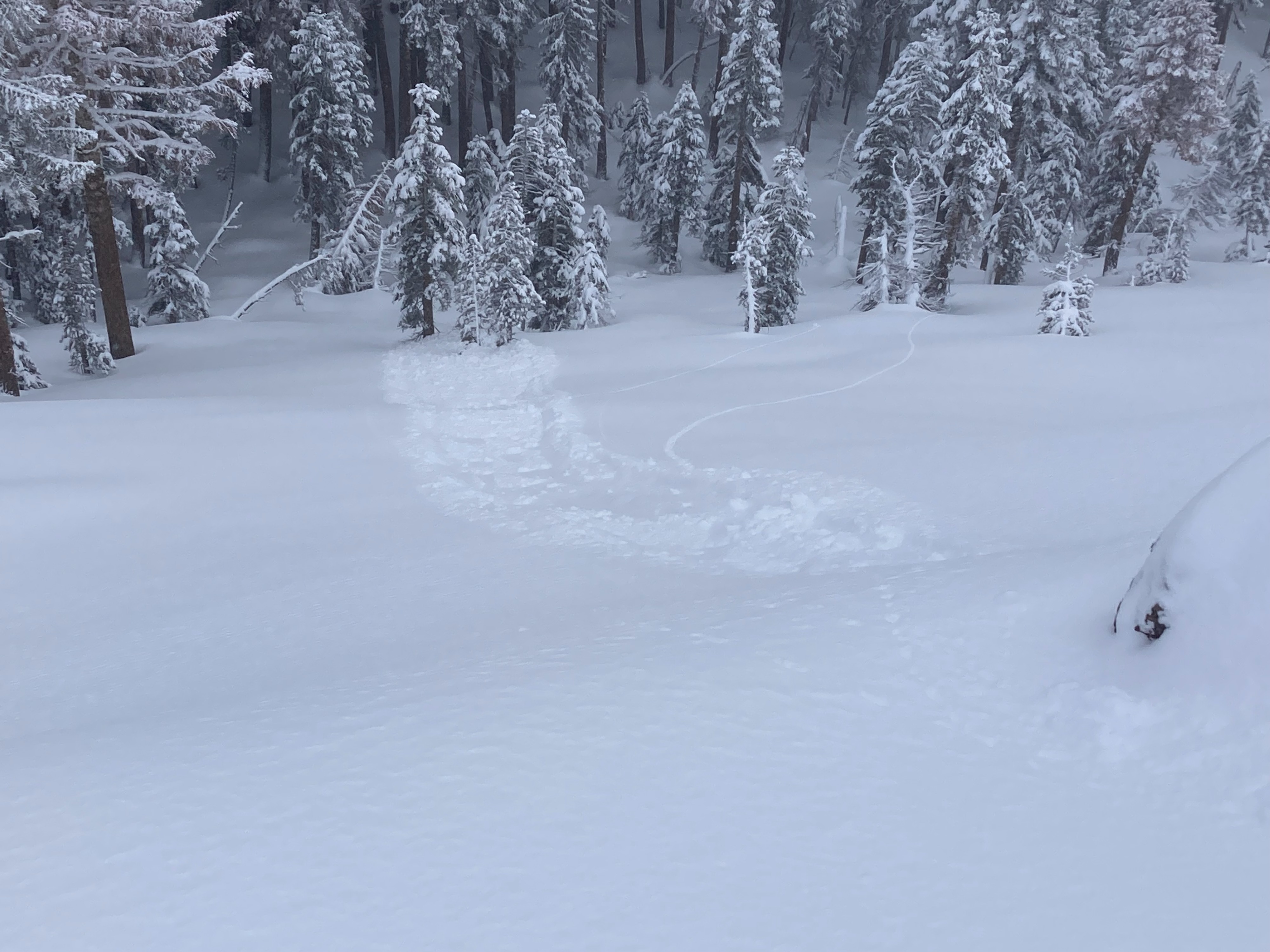
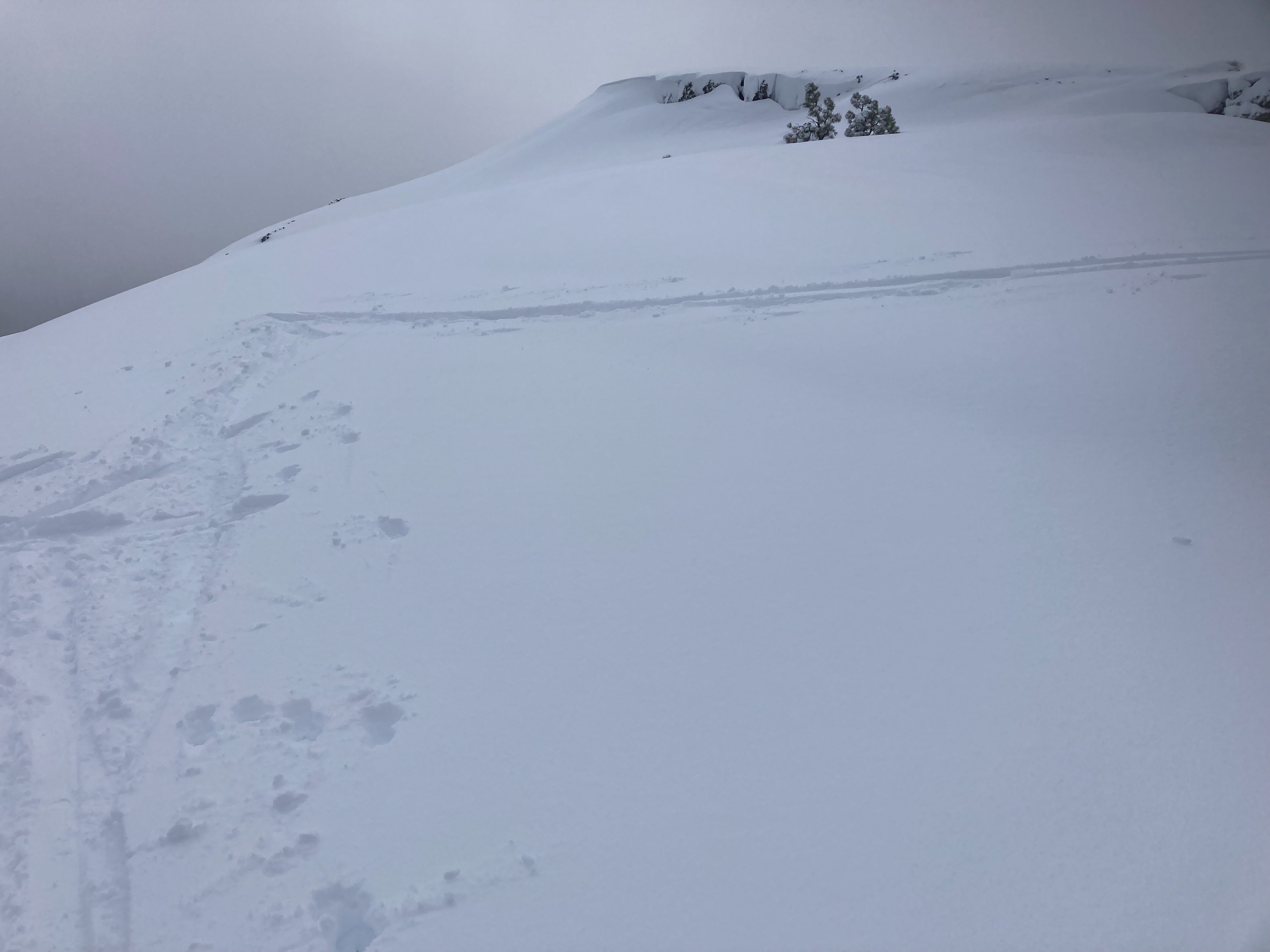
We went to Andesite Peak today to check out the new storm snow and wind slab development overnight and through today. 6 to 8'' of new snow existed in this area with little additional accumulation today. South winds were mostly light during our field time with limited signs of previous wind scouring and transport present. We observed very few small cracks in wind loaded terrain with minor wind slab development in this area. Some small cornices did form overnight and were fragile to ski kicks. These small blocks resulted in dry loose sluffing involving the top few inches of storm snow which ran downslope. We experienced some light misting while in thin low level clouds near the peak. This along with an increase in temperatures during the day resulted in slightly heavier and denser snow, mainly below 7500'.
Weather
- Cloud Cover
- overcast
- Wind Loading
- light
- Recent Snowfall
- 15-20cm
- Snow Avail For Transport
- moderate amounts
6 to 8'' of new snow was found in this area this morning. Very light on and off snow continued for most of the day with little accumulation. Wind speeds were light most of the day with limited signs of wind scouring and transport along upper ridges off of Andesite Peak.