
Quick report
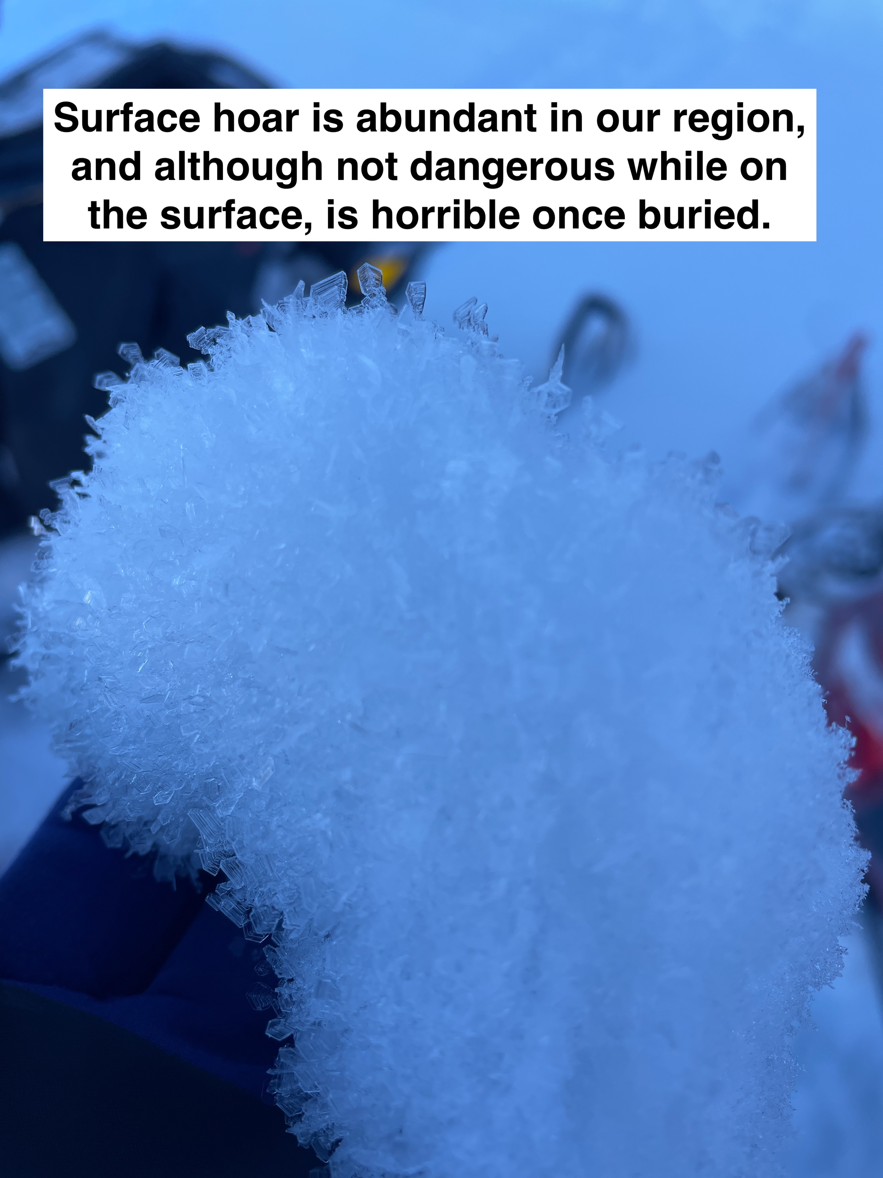
With the extended period of high pressure and little change in the weather affecting the snow stability, we have entered a period of Low Danger. On slopes that are affected by the sun, a melt-freeze crust can be found on some slopes. Shady slopes (N-E aspects) are still hanging onto cold snow, which is becoming more faceted by the day and capped with surface hoar. At 6,500' and below it's easier to feel the 1/3 rain crust.
Weather
- Air Temp
- 16
- Cloud Cover
- scattered
- Wind Loading
- light
- Rain Elevation
- 6500
- Recent Snowfall
- 0
- Snow Avail For Transport
- small smounts
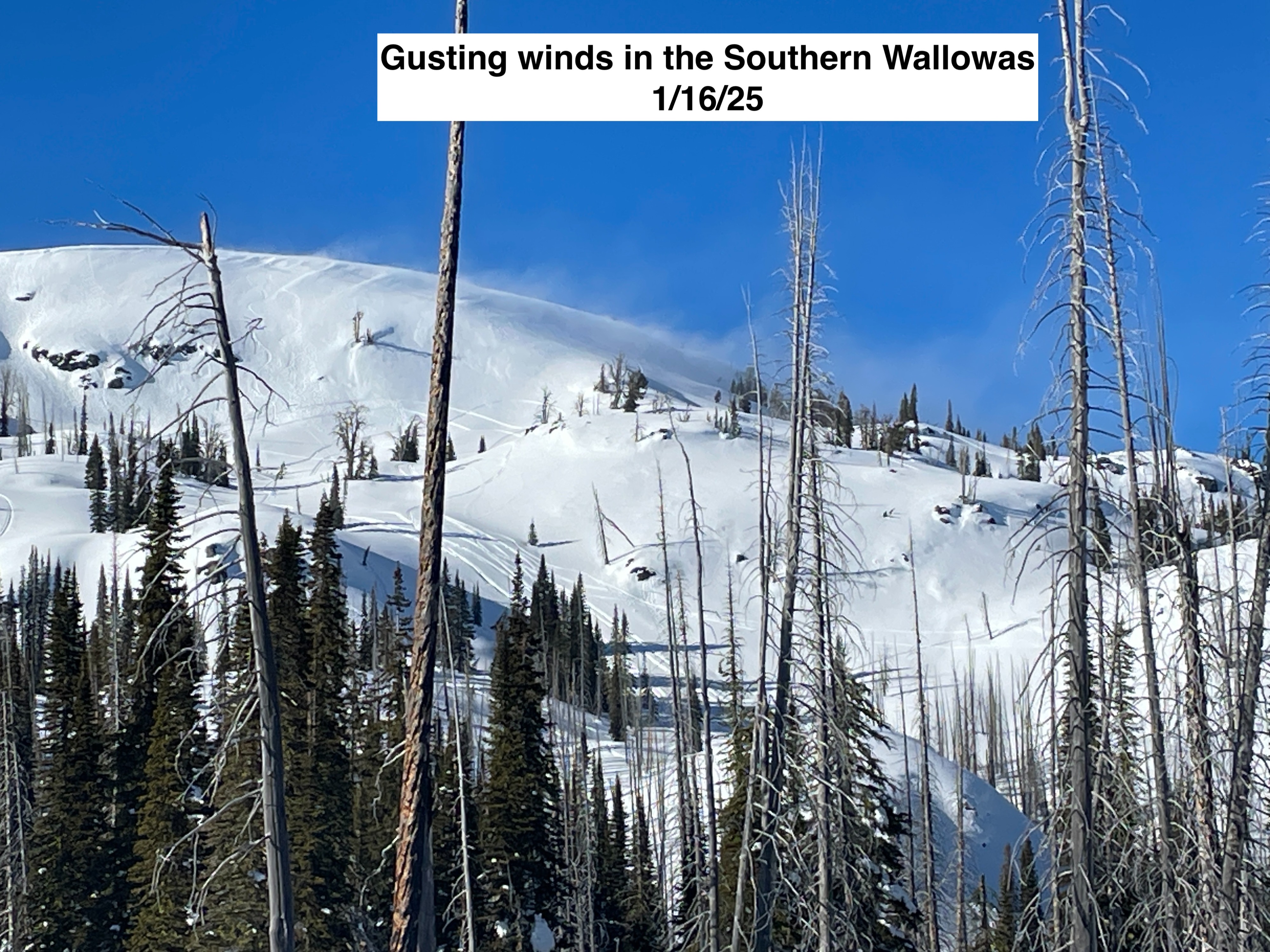
Generally clear skies from 1/15-1/18 except 1/18 with partly cloudy skies. Temperatures getting progressively colder during this time period. Winds primarily from the NW in the light category with some moderate gusts at times. A few snowflakes on 1/18.
Snowpack
After digging numerous snowpits, we have a right-side-up and stable snowpack at this time in the areas observed. The 1/3 rain crust is well defined around 6,500' and below, but hardly noticeable once you get to 7,000'. We did find some facets above and below the 1/3 crust in one snowpit on an NW aspect at 6,500'. There is a strong temperature gradient in the upper snowpack (top 8") which is transforming the surface snow into near-surface facets. Below 7,500' Surface Hoar growth on the current snow surface has been widespread.