
Quick report
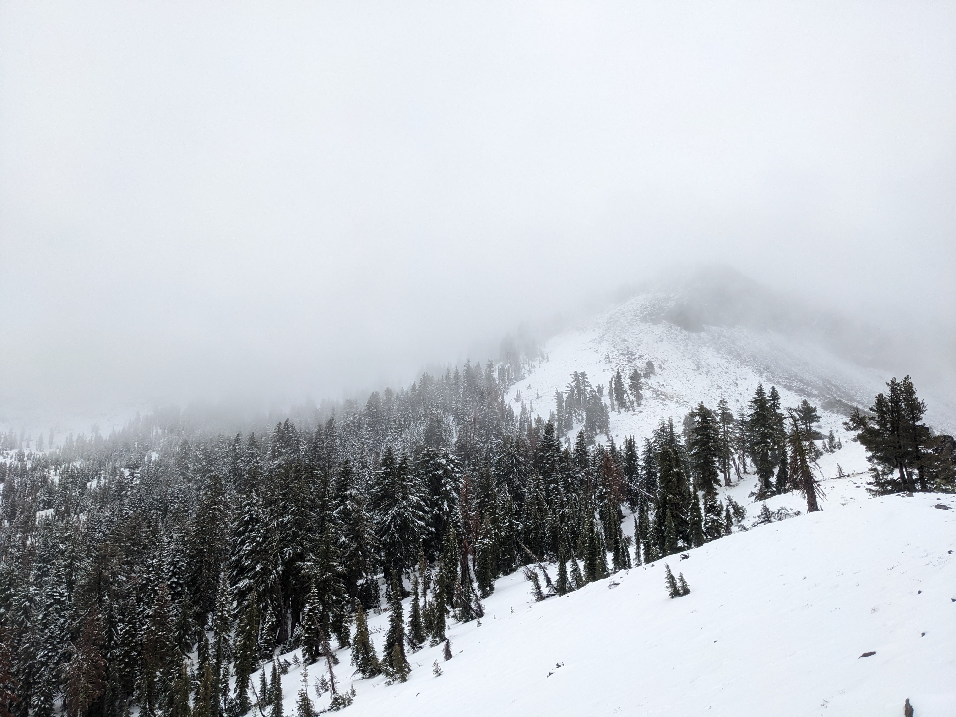
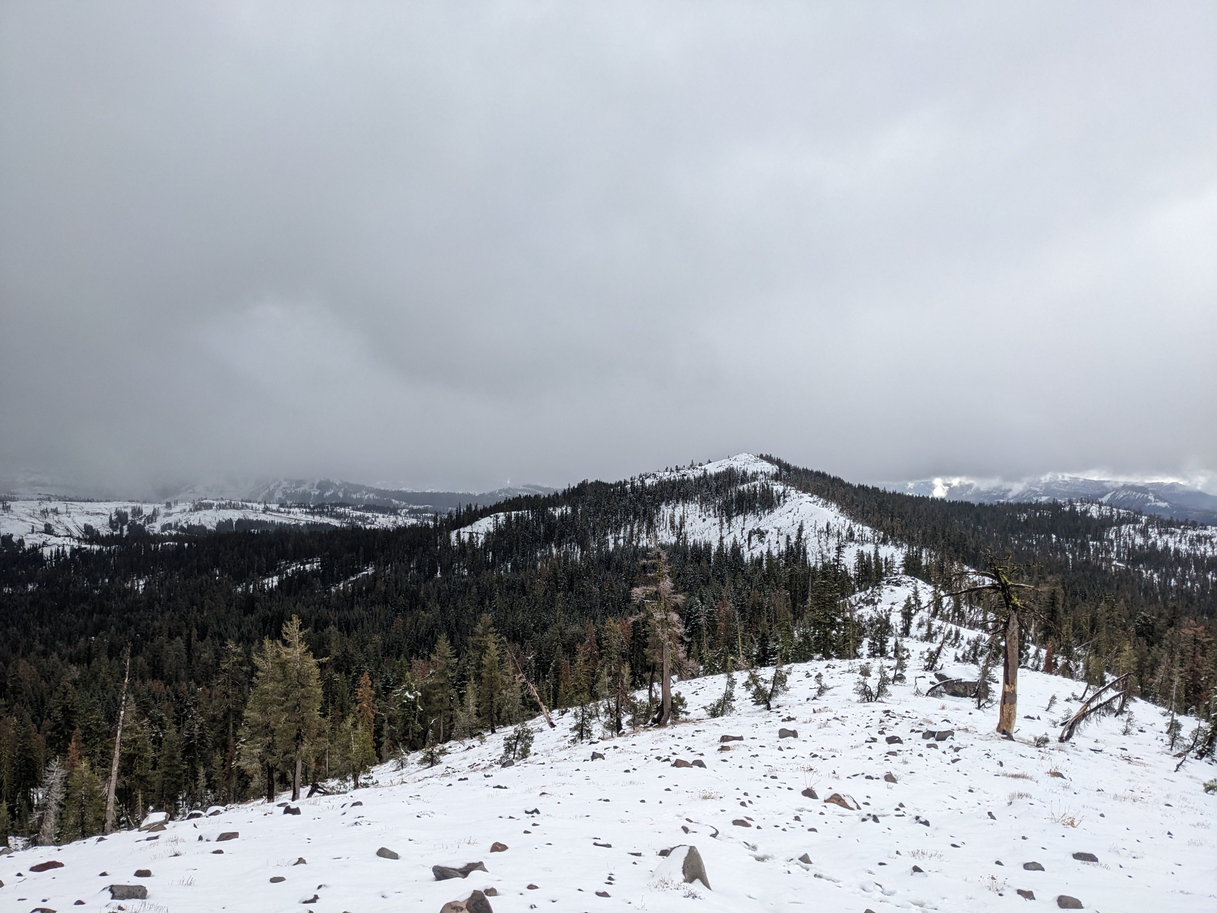
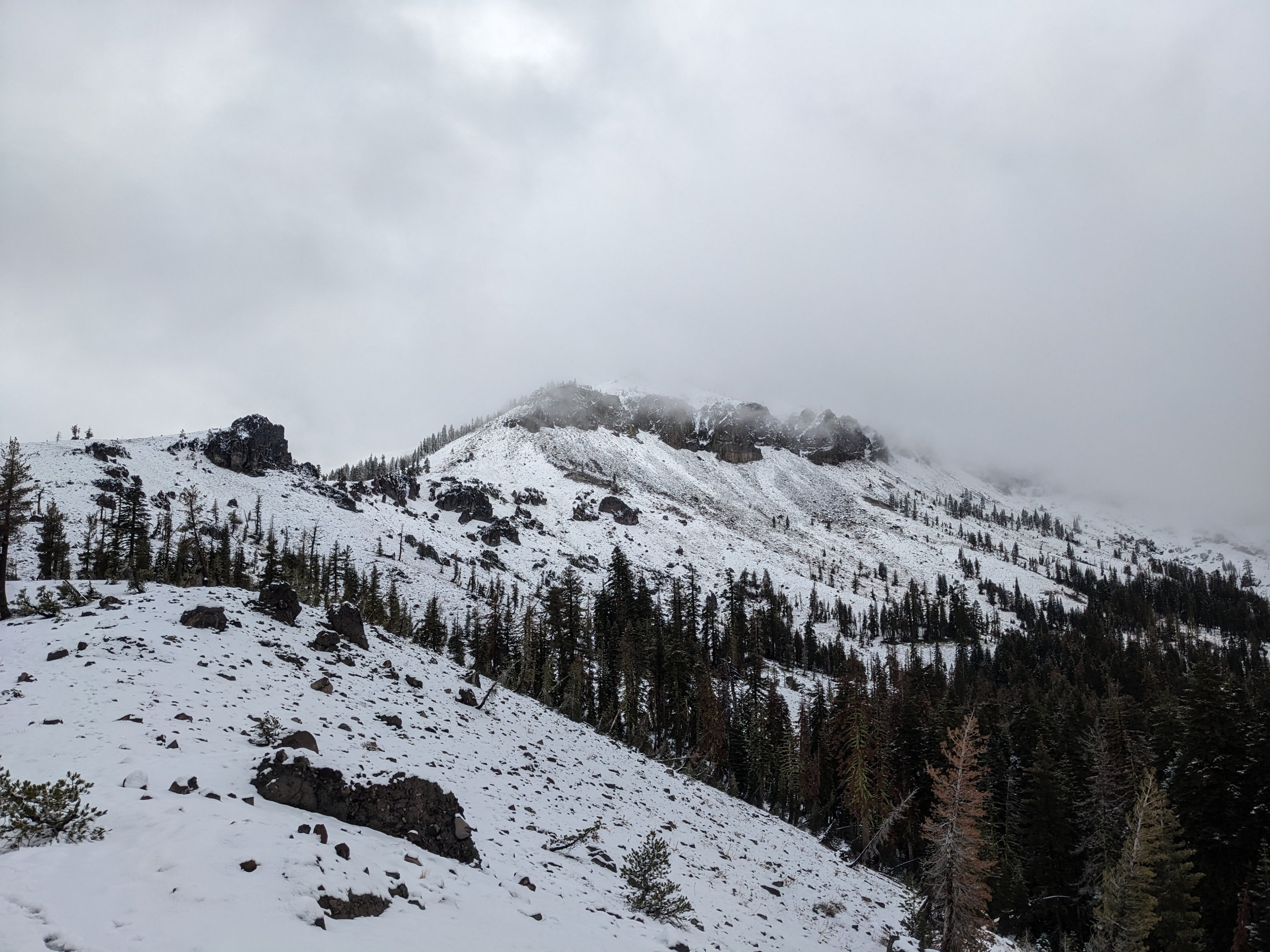
Overall most areas have very little snow cover, and the 1-2 inches of wet snow mixed with rain during this storm did little to change that. The places that did have previous snow cover still remain shallow and numerous obstacles remain exposed.
Weather
- Cloud Cover
- overcast
- Wind Loading
- light
- Rain Elevation
- Fluctuating between 8000 ft and 8200 ft.
- Recent Snowfall
- 5
- Snow Avail For Transport
- small smounts
Several squalls passed through the area while I was there. They produced rain below 8000 ft and a mix of rain and snow up to about 8200 ft. Between the squalls, skies were partly cloudy.
Snowpack
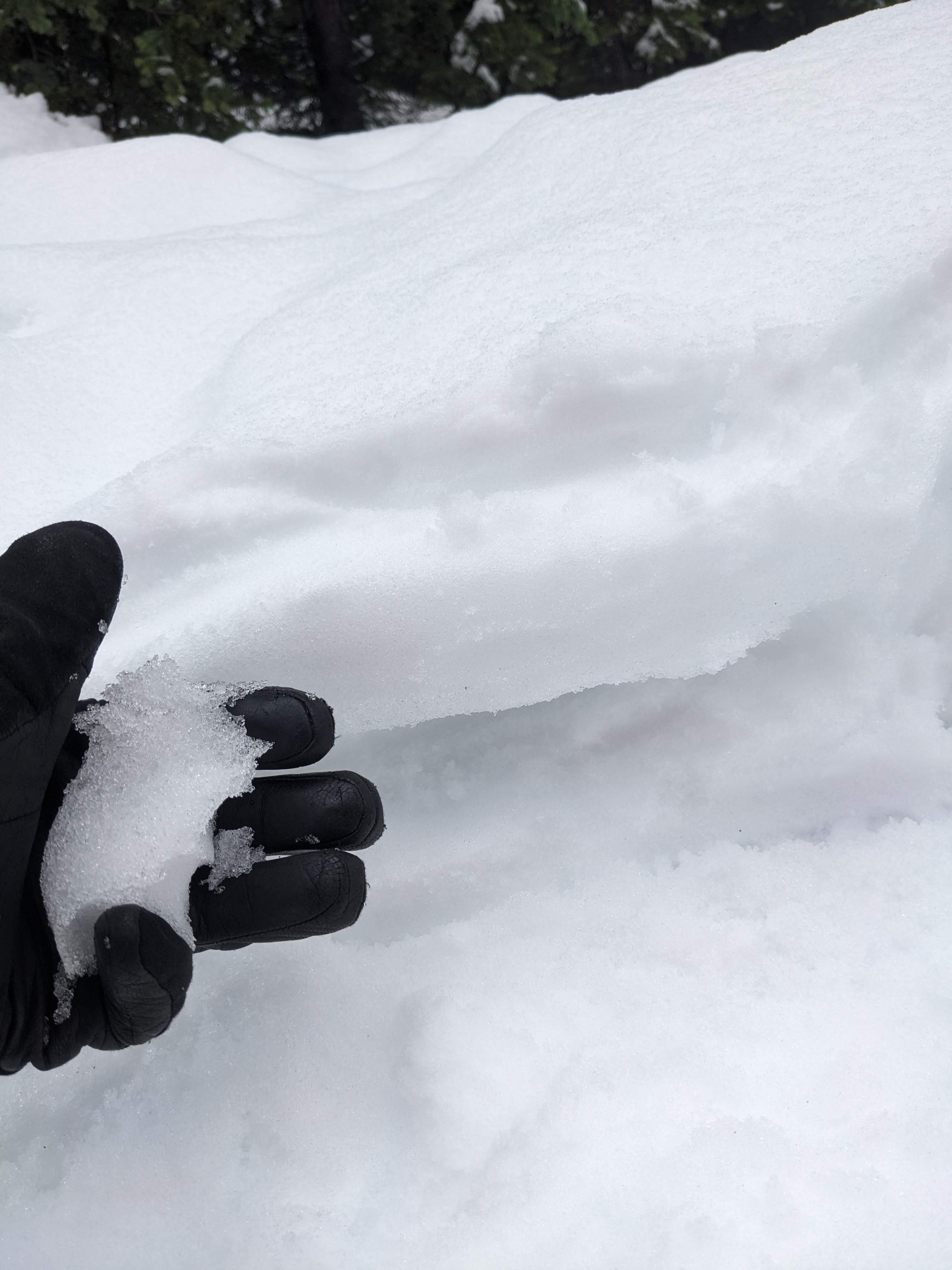
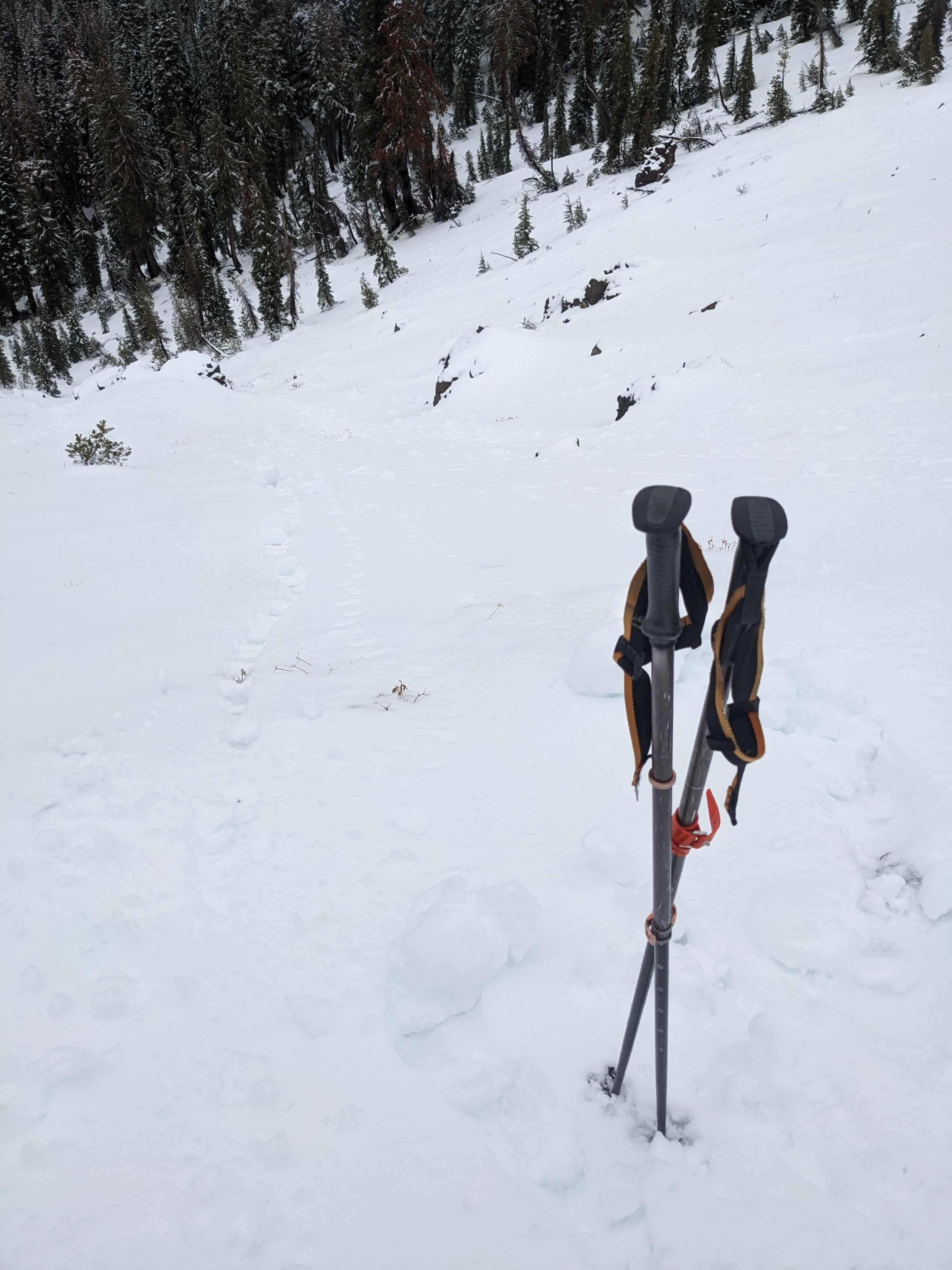
On the northerly facing aspects above 8000 ft, where snow existed before this storm, the snowpack measured between 8 and 12 inches in depth. Due to the warm temperatures and rain, the snowpack has become wet up to at least 8200 ft in this area. I even saw some roller balls and pinwheels on a NNW aspect at 8200 ft. The previously weak sugary snow (facets) below the surface have gotten wet and now easily clump together when squeezed. A layer of 1-2 inches of new wet snow existed on the surface. In areas where this new snow fell on exposed ground, it barely covered the surface.