
Quick report
- Cracking
- isolated
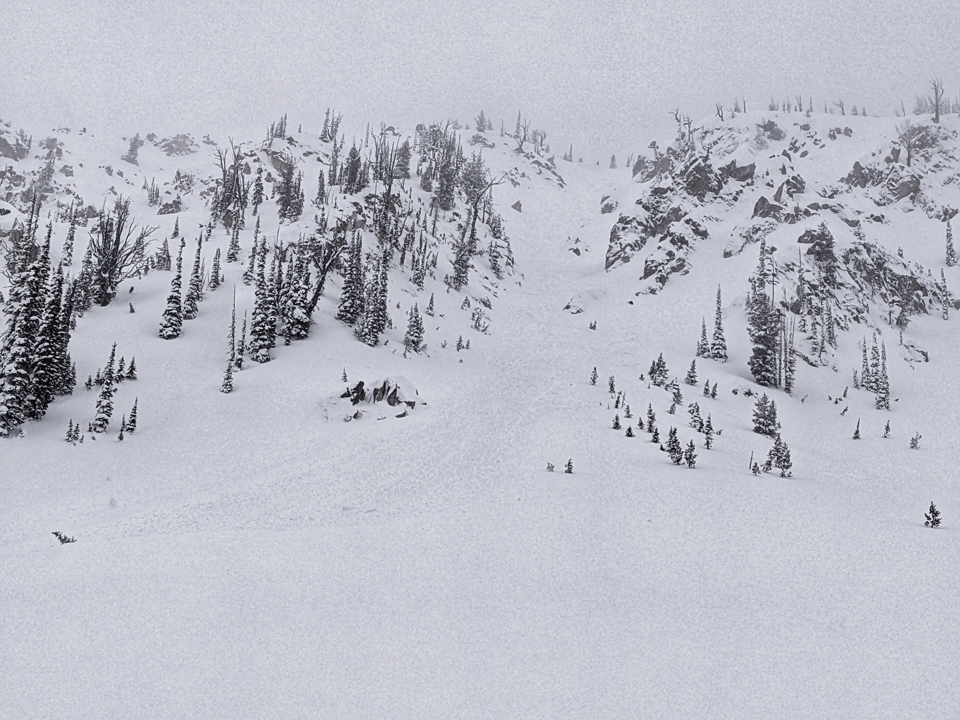
This was a tour to look at the snowpack in the Banner Summit zone to get a sense for how the weather of the past week has played out up here.
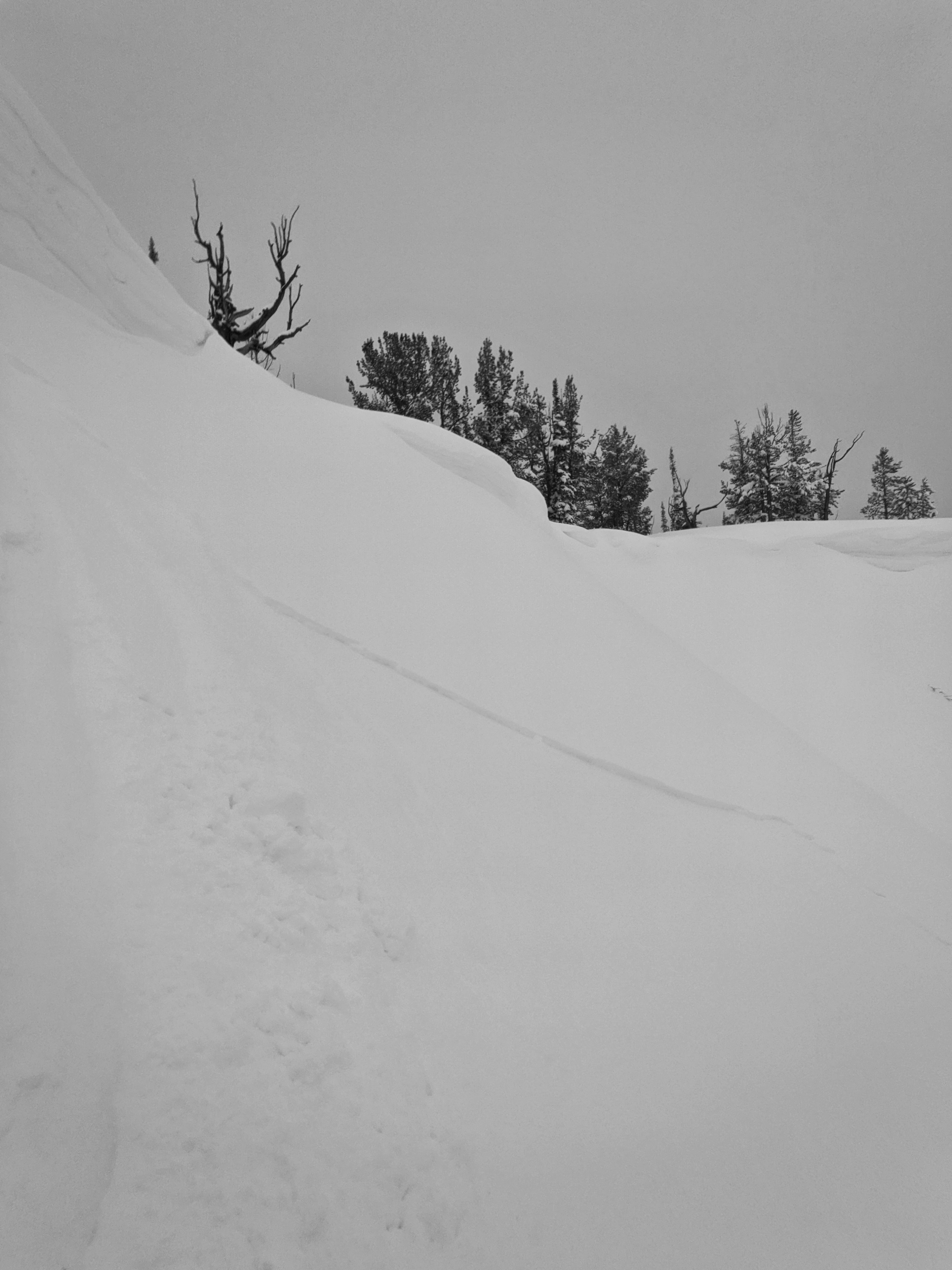
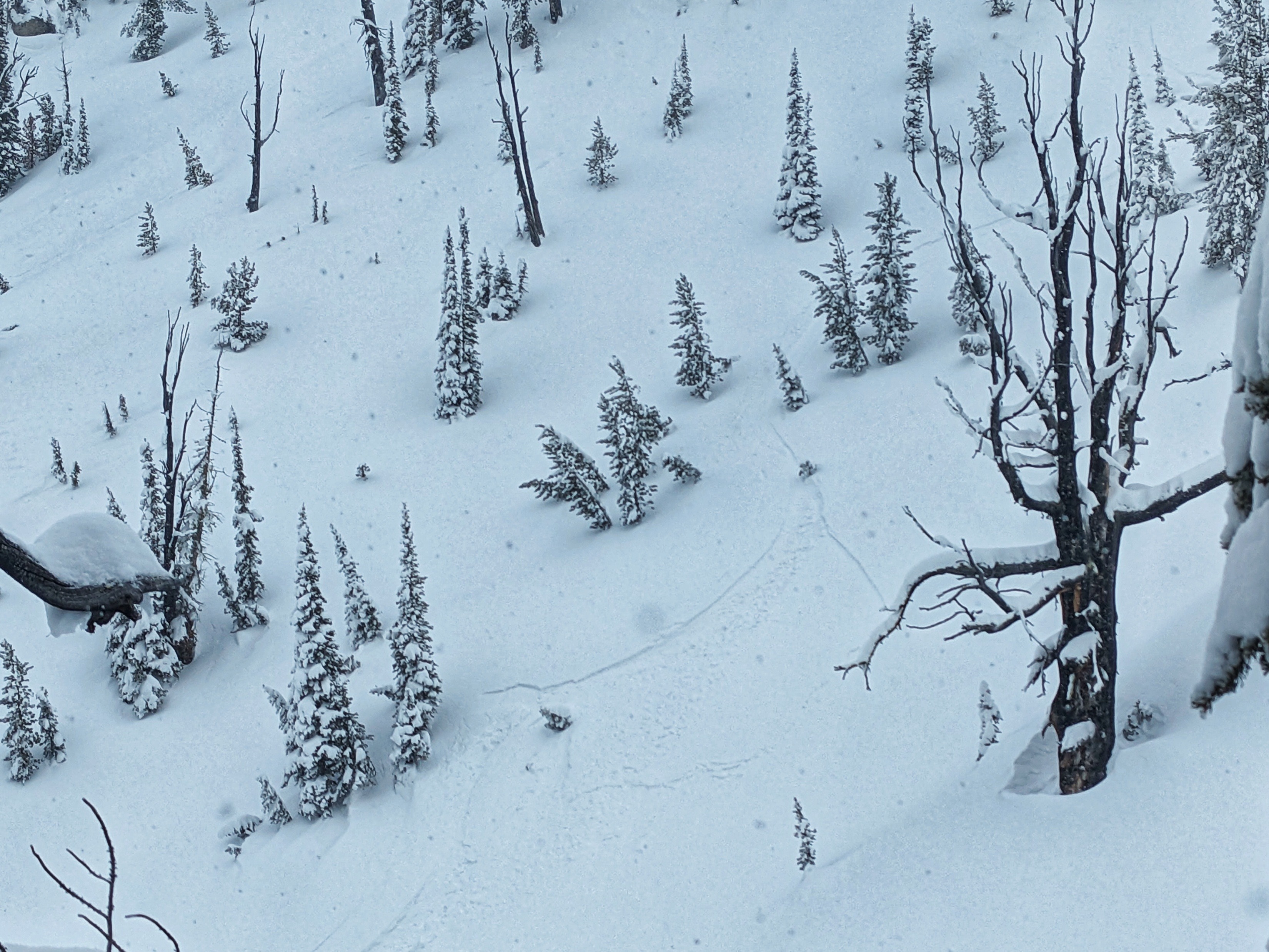
I moved through a lot of untracked terrain and did not experience any collapsing. I did experience some cracking and minor avalanching in the actively forming wind drifts in the evening. The largest slab I triggered was on my final run before I exited the field at 2000; this would not have been large enough to bury you, and may have knocked you off your feet if it hit you from above with some speed.Weather
- Recent Snowfall
- 7-8
- Snow Avail For Transport
- large amounts
1330-2100 wx obs: Periods of diffuse sunshine and snow alternated throughout the day. During snowier periods, I observed precip rates up to S4, though mostly in the S-1 to S2 range, for a daytime accumulation of around 7-8 additional cms up high and 2-3 cm at hwy level. The last few hours of the day brought the most intense pulse of moisture and the most consistent winds. There was some minor, localized loading going on in exposed terrain.
Snowpack
As expected and observed the previous day on Galena, there is significant variability in the snowpack by elevation. There is still a ton of water in the low elevation snowpacks that need to drain. However, the crusts and areas with the most pooled water are not completely lacking in strength; the snow is generally boot supportable with boot pen less than 30cm. I don't think we will see wet snow concerns related to this without the input of a large amount of additional liquid water. Climbing higher, the upper snowpack is holding less liquid water and has dealt with the rain reasonably well. However, there is a ton of SAFM (snow available for melting, that sweet sweet water factory baby) above ~7,500'. I'm anticipating that this will hold on through another day (Sunday) before we really get to melting it on Monday.
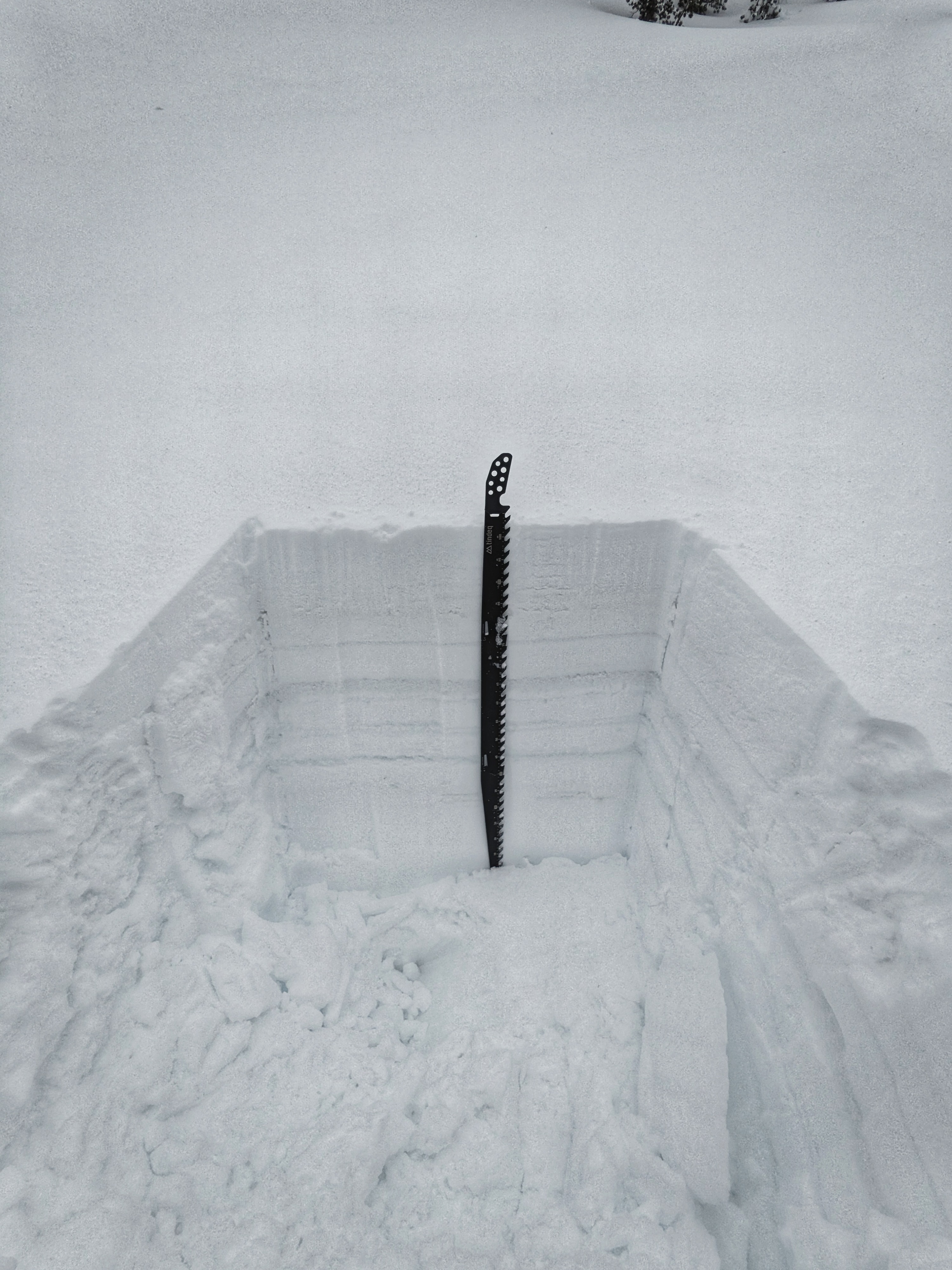
Pit 1:
7000', ENE aspect
HS=120cm
7-8cm of very dense/wet new snow and glop (estimated at 15-18% density).
There is water present throughout the snowpack. In some narrow bands it was possible to squeeze liquid water out of the wet snow.
continuing upwards, I found 12cm HN on top of the rain-soaked crust at 7200', 15cm at 7400', 20cm at 7,600', and 30cm at 7950'.
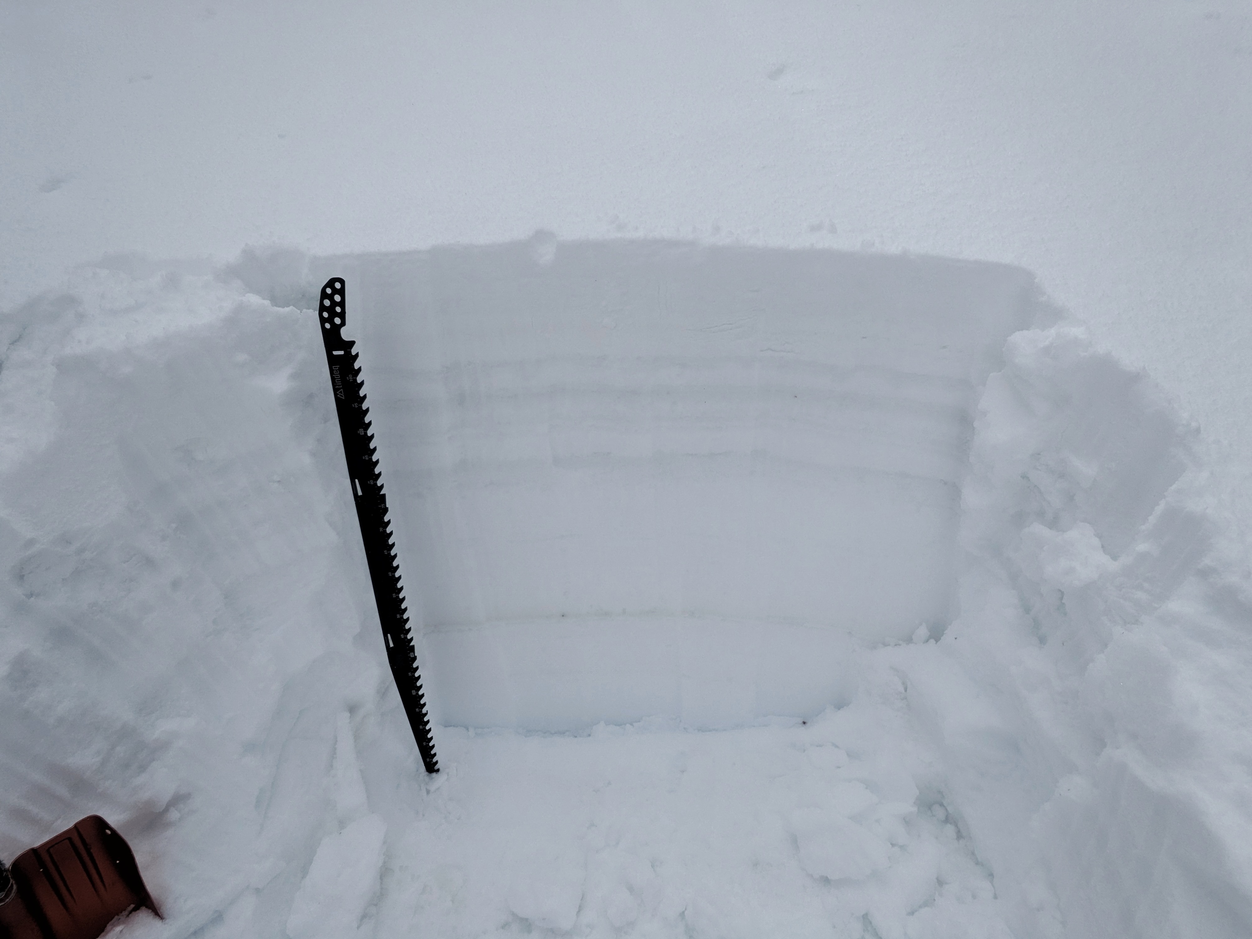
Pit 2:
7950', ENE aspect
4/3 crust is down 30cm, the snow above still has an interval of rain in it
3/23 crust down 45cm
2/29 dust layer down 90cm
Snowpack was significantly deeper here (>2.25m) and the wet intervals were not nearly as wet as the first pit. General impression was that this once-dry snow had done a good job of sponging up all the rainwater
Pit 3:
8300', NE aspect
First crust down 40cm, it isn't entirely clear if this is the the 4/3 or if it is the base of the 4/5 and 4/6 snowfall. It becomes harder to differentiate the numerous wet crusts in the upper 60cm of the snowpack. I did not find the 2/29 dust layer (quite obvious in previous pit) in the upper 120cm of snow here.
There is some pooled wetness at crusts/density changes in the snowpack, but generally it is doing a good job of sponging recent rainwater. I did not look deeper than 120 cm here, HS was at least 2.5m.
Avalanche
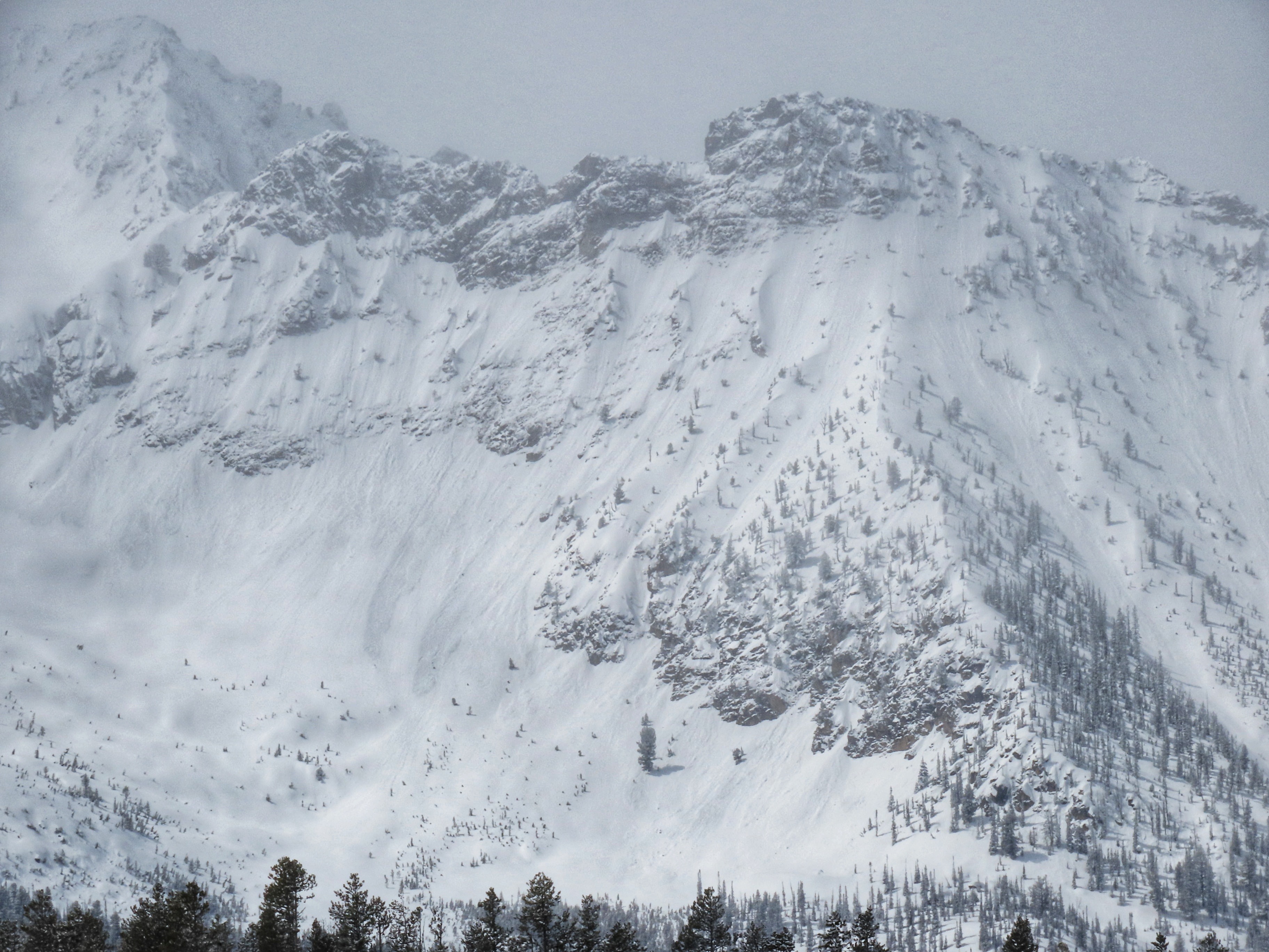
I triggered several very small slabs (up to 5cm thick, 2-4m wide), and one slightly larger but still small slab (still a D1, crown was 8-10cm thick and broke across 20m of terrain. On my drive north the visibility was poor, but during a brief window I could see a handful of solar-triggered wet/moist loose slides in Meadow bowl.