
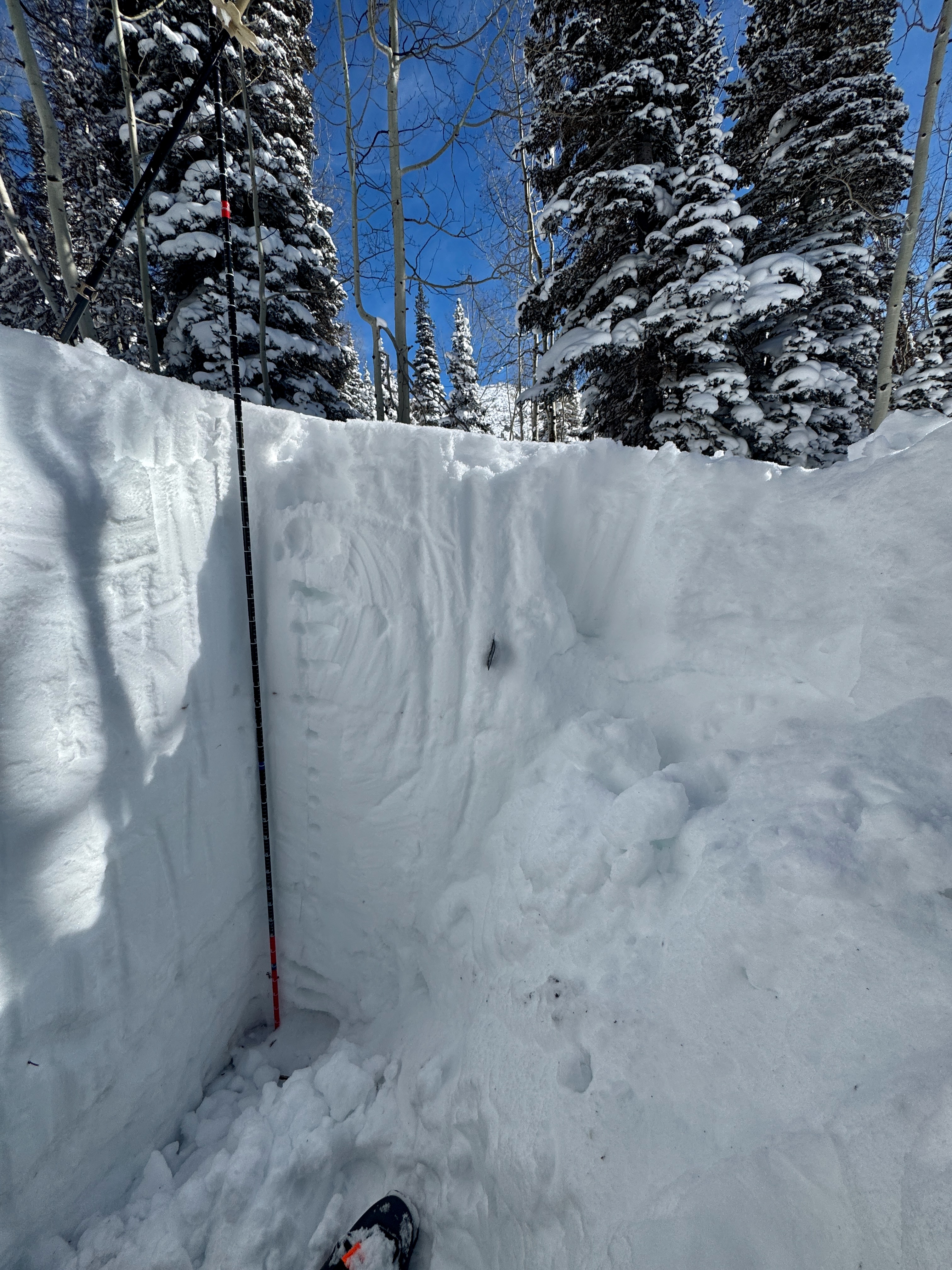
Quick report
- Aspect
- South
- Red Flags
- Recent Avalanches, Wind Loading, Rapid Warming
- Elevation
- 2682 m
- Slope Angle
- 6°
Hand dug snowpit above and Atwater SNOWPACK Modelling below:
Atwater temperature profile graph below:
Below Chart of Atwater Weather Station including surface temp:
The above is a combination of the SNOWPACK Modeling tool, snowpack temperatures from Atwater and a manual snowpit from SnowPilot. The goal is to continue to put manual snowpits in and see how closely they correspond to the SNOWPACK Model. This is still a work in progress and is a lot of information to process. My thermometer is not calibrated to either the thermocouplers or the SNOWPACK model, and you can see it doesn't pull the surface temperature as well as the Atwater plot does (-12.6°C). We should see the same trend within the Snowpack model and Snowpilot. Same goes for trends with hand hardnesses and such. Notable today was the 0°C subsurface temp compared to the -6 °C air temperature and the Atwater surface temp of 12.6°C. There was no crust near the surface when I was digging, but the surface was starting to get some moisture and I imagine will have a surface crust ( and possibly some near surface facets) later today into tomorrow.
Read more about this project HERE.
Links:
Snowpack
- Instability Comment
- <p> I observed one avalanche (photo below) around 1:00PM on a southerly facing slope around 9,900'. This avalanche was shallow 6"-8" deep and maybe 30' wide running 100' vertical feet. It was a natural trigger and started as some sort of dry/wet loose in the steep rocks and then fanned out. It was a combination wet/dry avalanche that was right on the verge of both. I would imagine at lower elevation it would have been a wet avalanche. There was some wind drifted snow on southerly aspects above 10,000'. This was shallow and not much of a concern for today. </p> <p>I also observed this avalanche in High Ivory on an east facing slope around 10,000' in elevation.</p> <p> </p>
Snow surface on southerly facing slopes was starting to get damp and will be crusty tomorrow. Protected shady slopes were still soft.