
Quick report
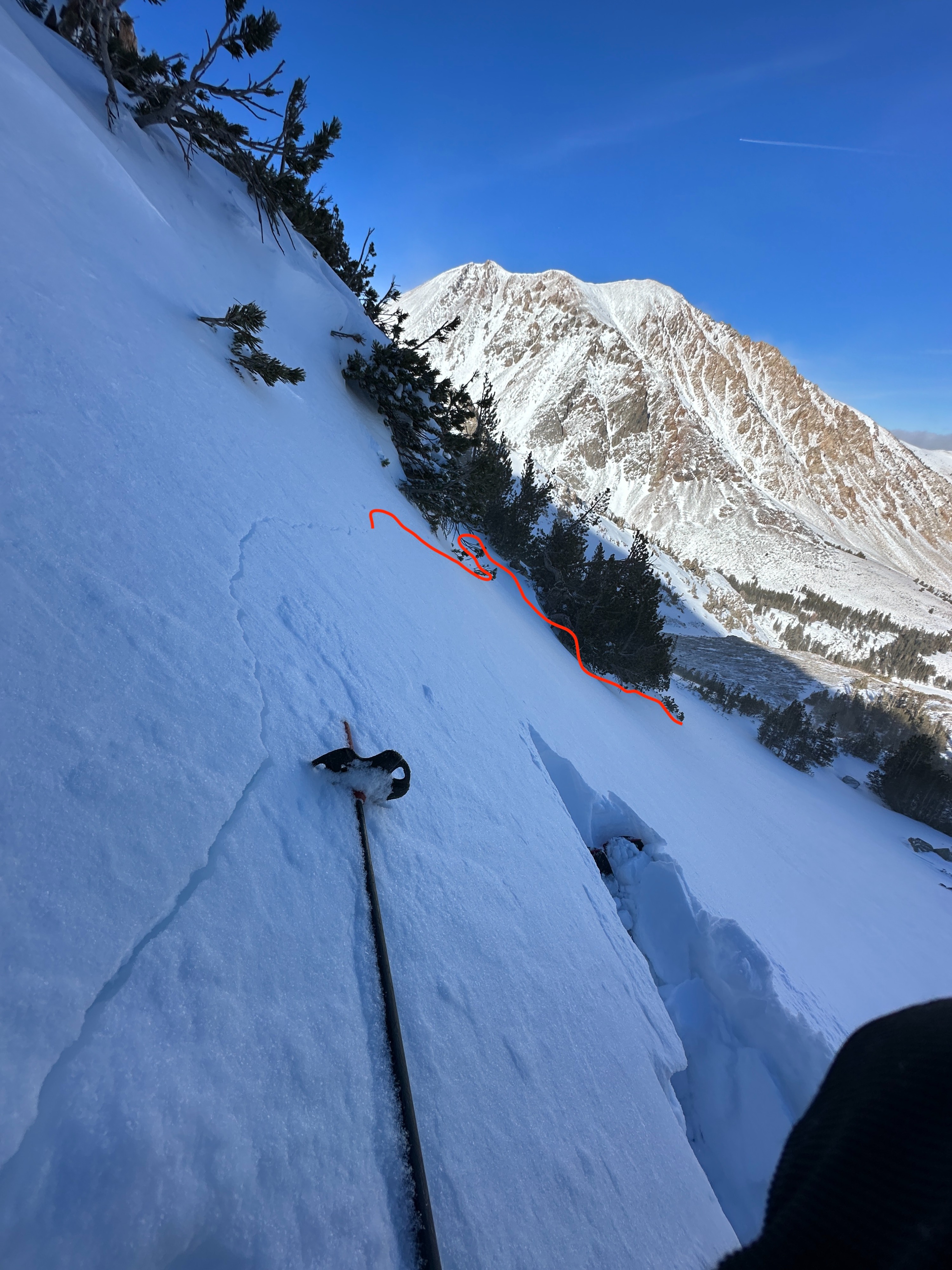
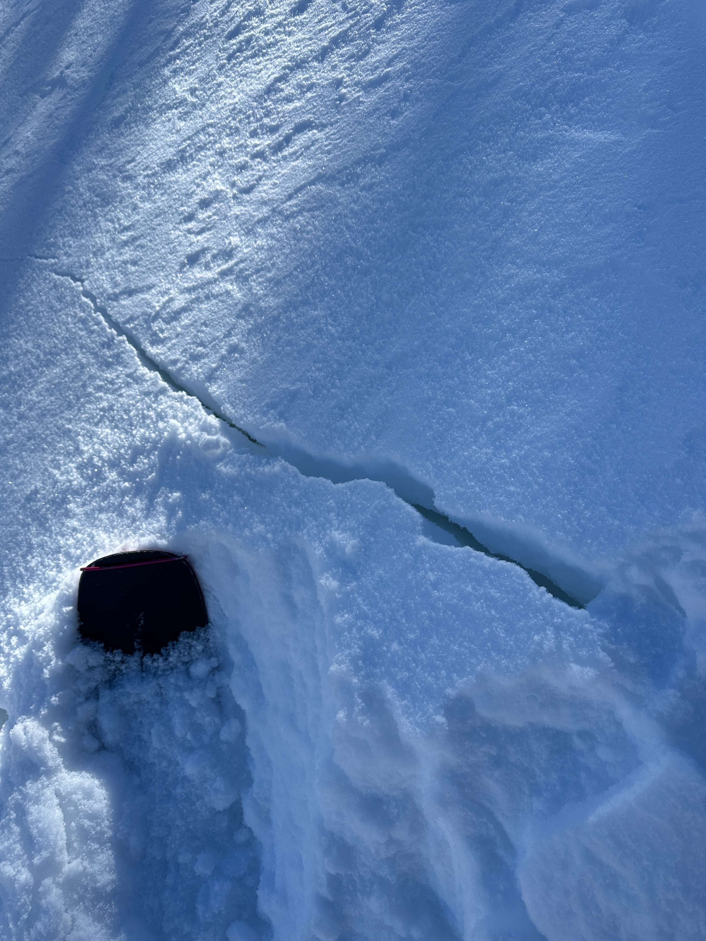
- Cracking
- isolated
- Collapsing
- isolated
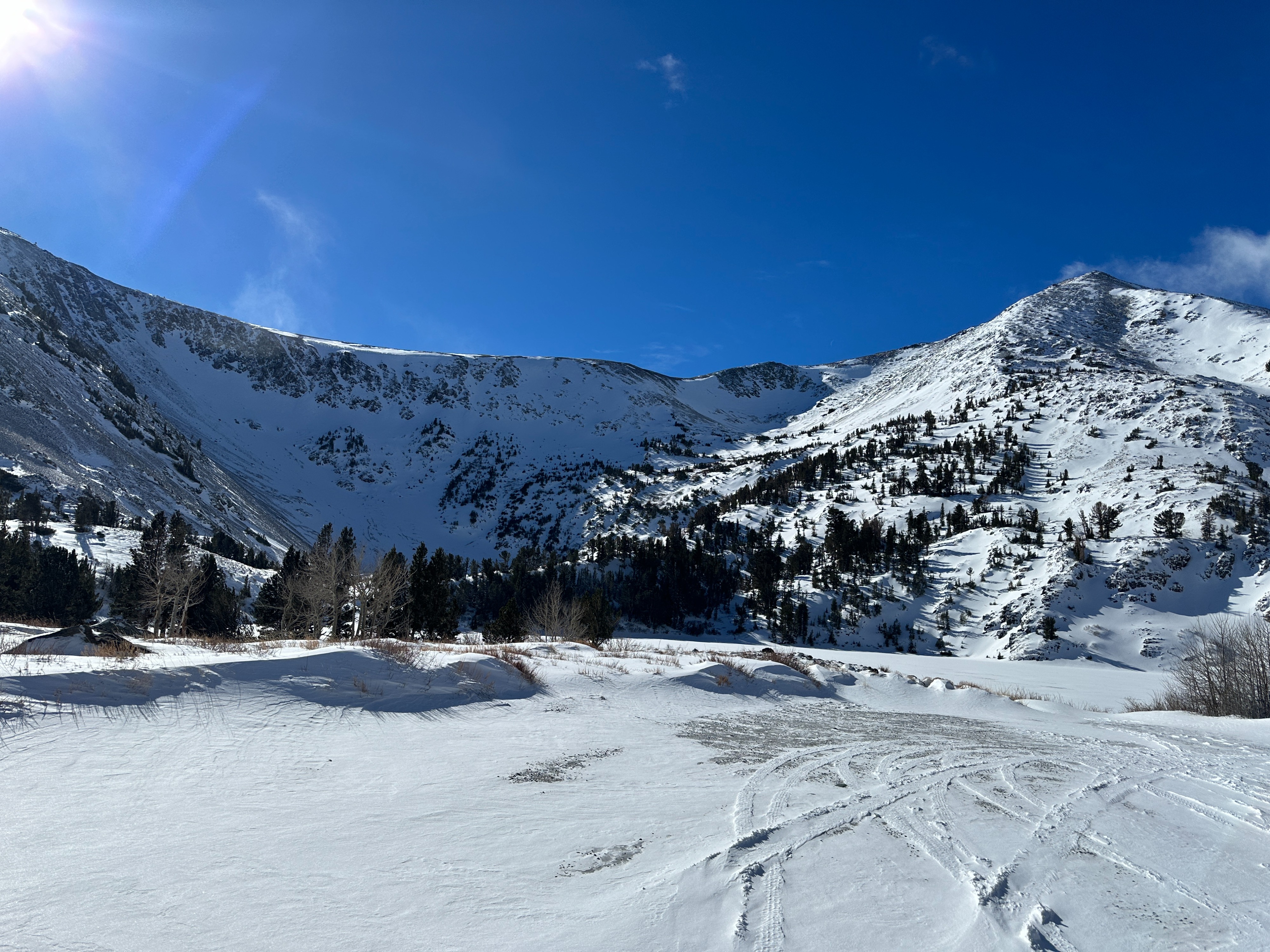
Headed to the Virginia lakes area today to get a post-storm survey in the northern part of the forecast area.
- Snow totals in the area were about 4”, with some favorable deposition zones holding closer to 6” of fresh snow.
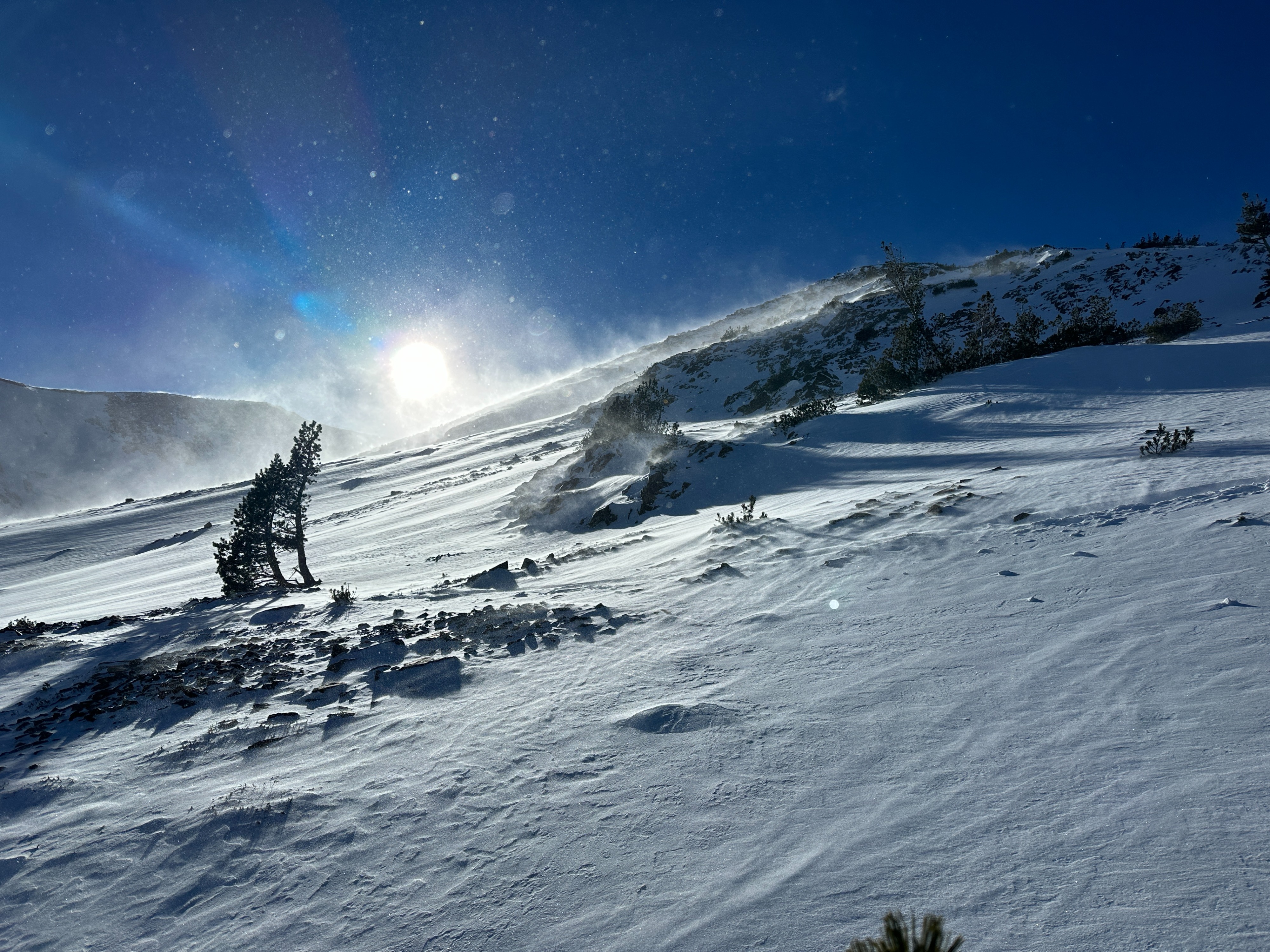
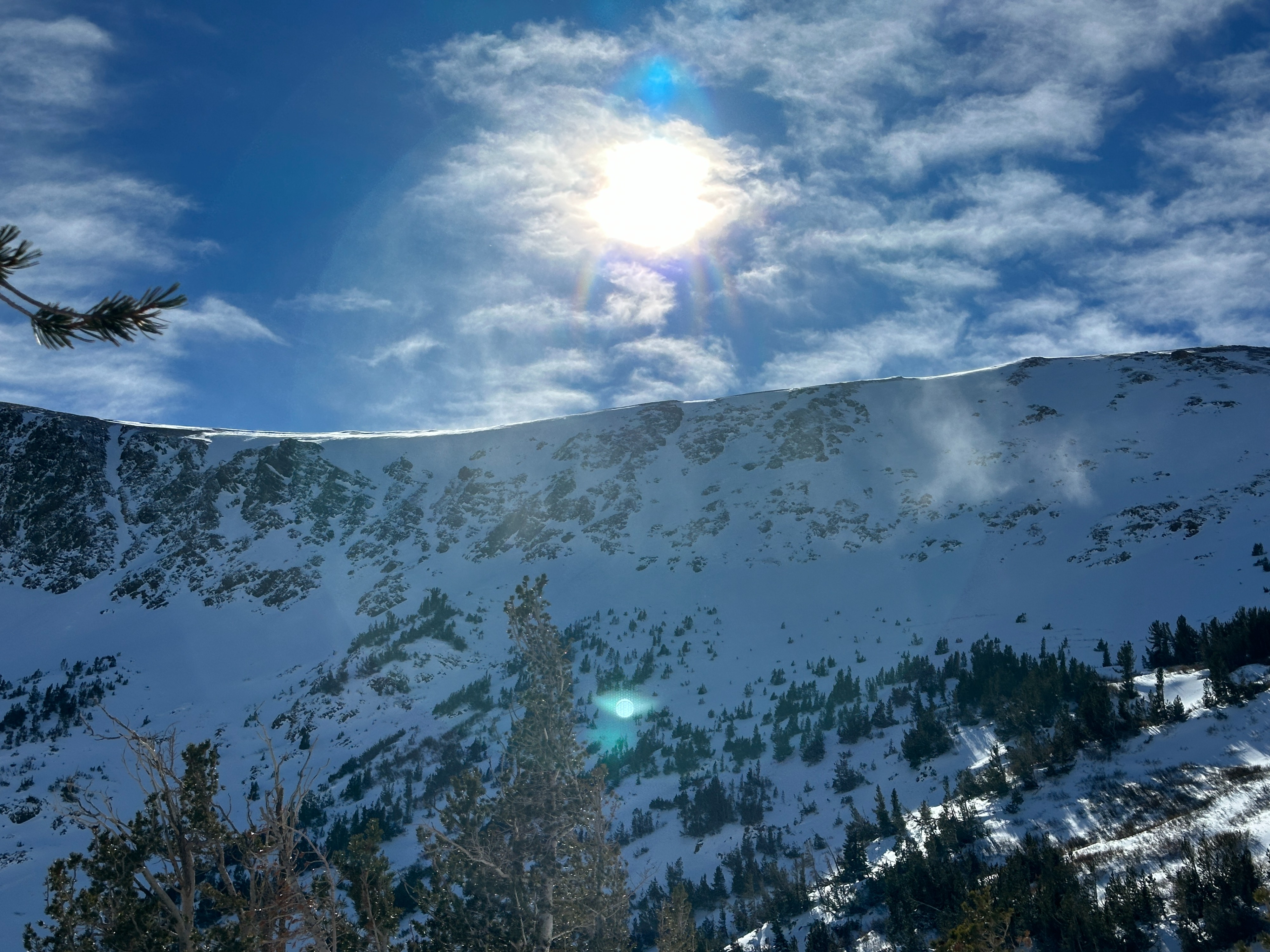
- North winds continued to transport snow throughout the day, stripping high-elevation start zones and redistributing snow in atypical ways near treeline.
- Coverage remains intermittent, with broad areas of exposed rock and dirt across the landscape.
- Shallow coverage continues to be front of mind when moving through terrain.
Weather
- Air Temp
- 18
- Cloud Cover
- few
- Wind Loading
- moderate
- Recent Snowfall
- 10-15
- Snow Avail For Transport
- moderate amounts
It was a cold and windy morning in the Virginia Lakes area. North winds dropped in speed by mid day to more moderate speeds. Blowing snow continued throughout the day.
Snowpack
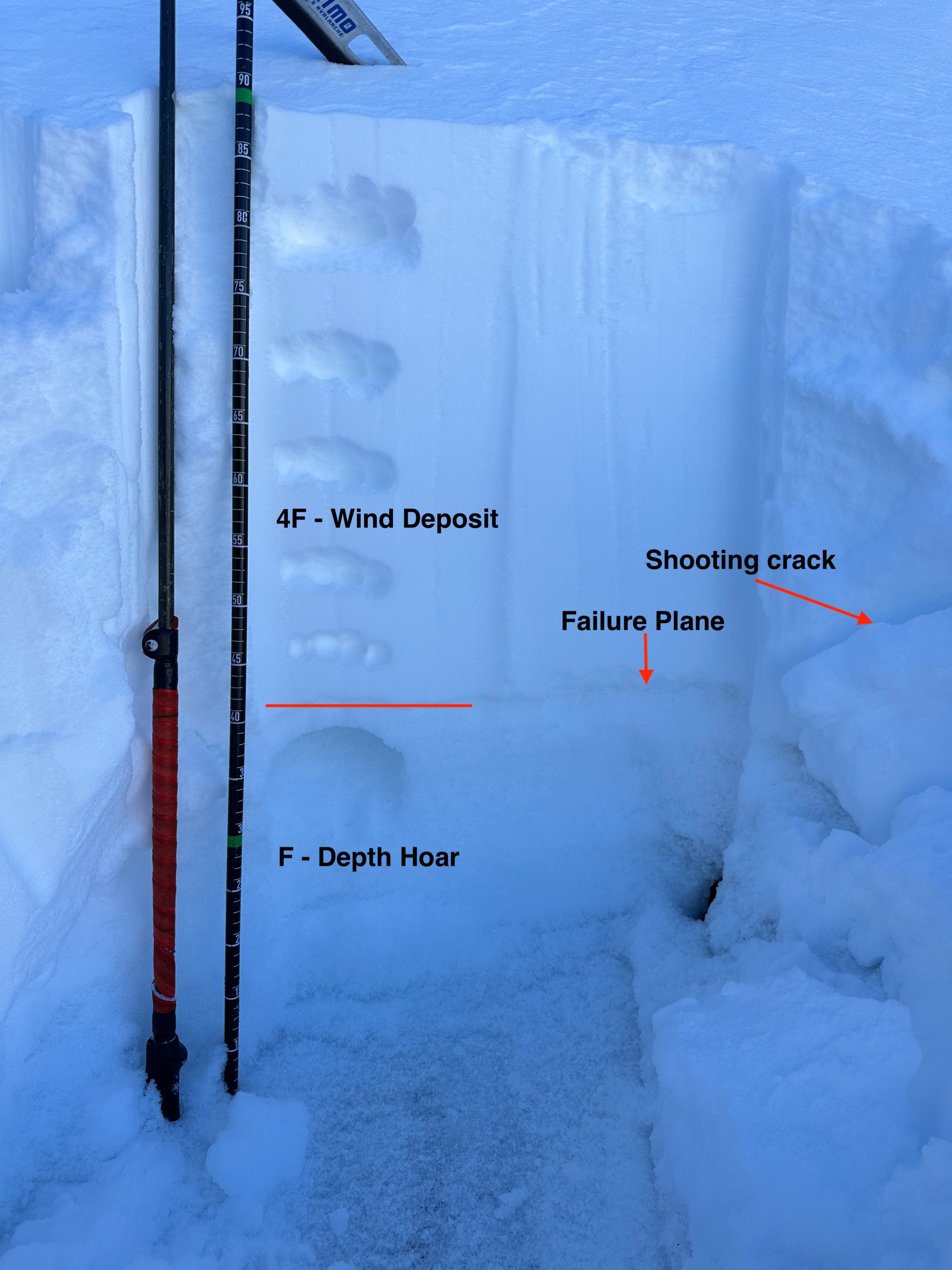
- I dug a profile on an NE aspect at about 10,500’ in a wind-affected area near the treeline. My evaluation highlighted two layers of concern.
- About 20 cm below the surface, a weak layer of faceted snow sandwiched between two stiffer layers of wind packed snow showed itself first. (CTVSc, ECTP4)
- And the second layer of concern remains the well-developed depth hoar at the base of the snowpack. (CT16 SC, ECTP21)
- See Profile for more details.