
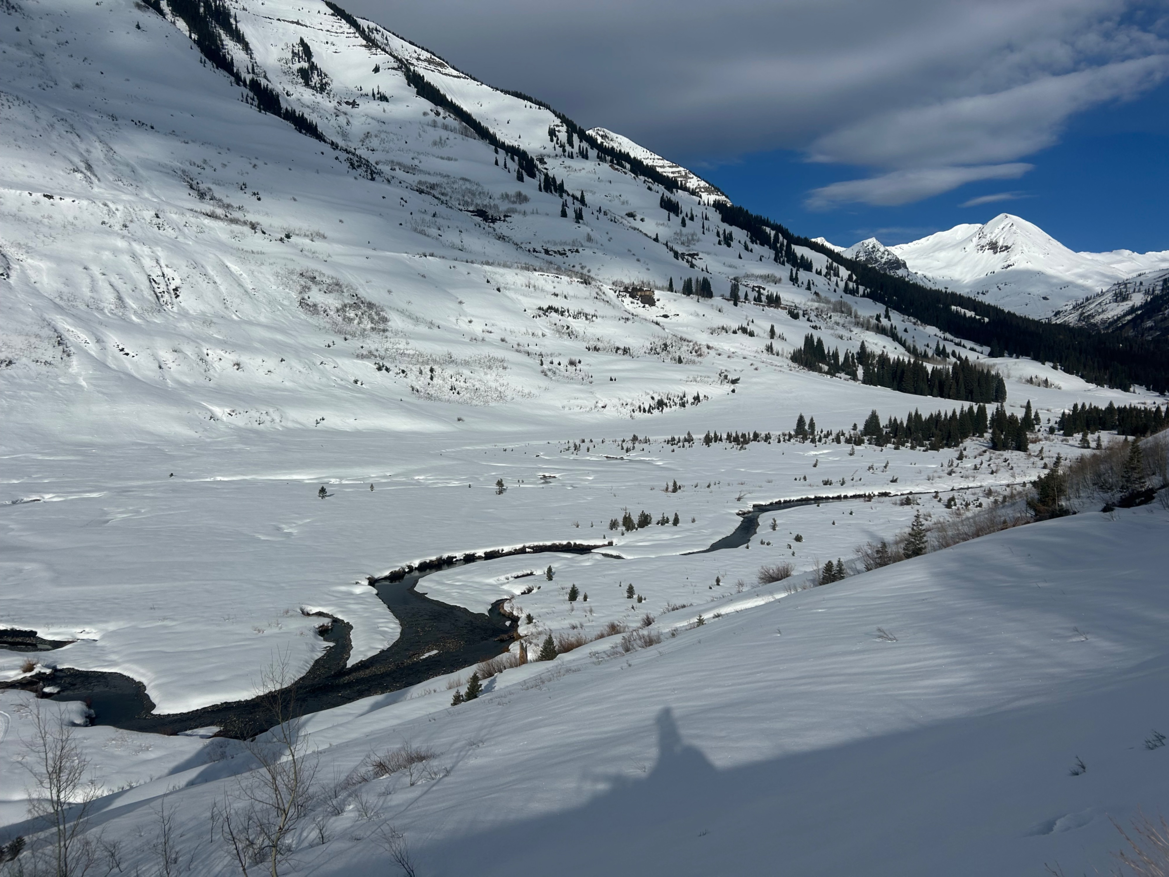
Quick report
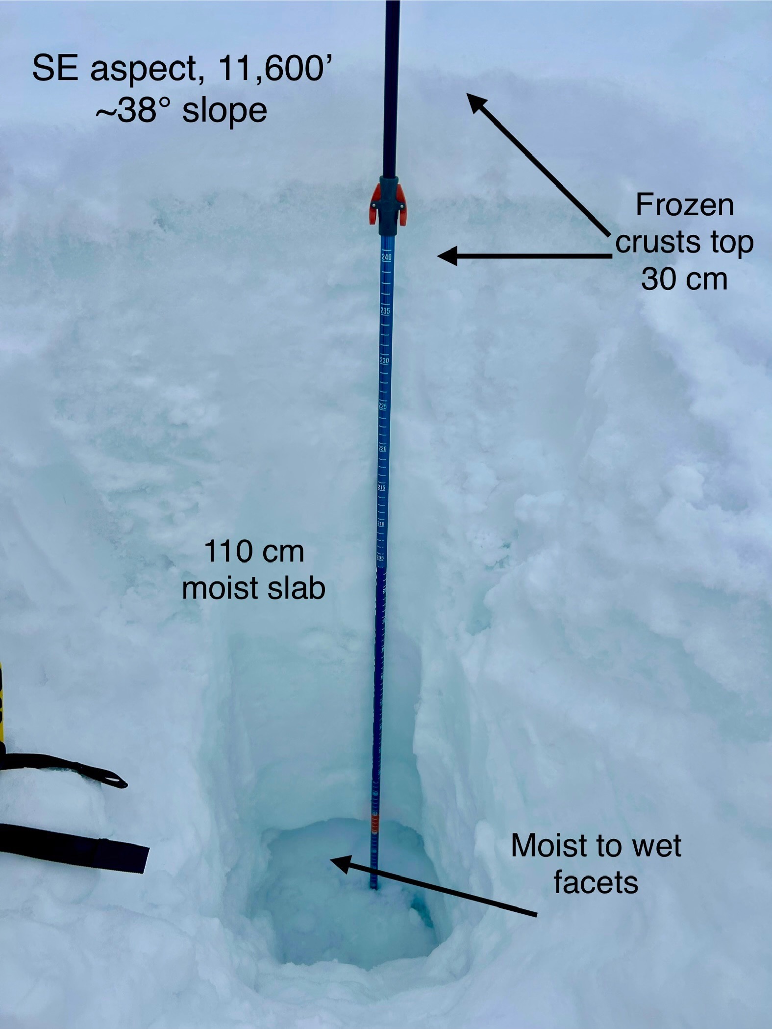
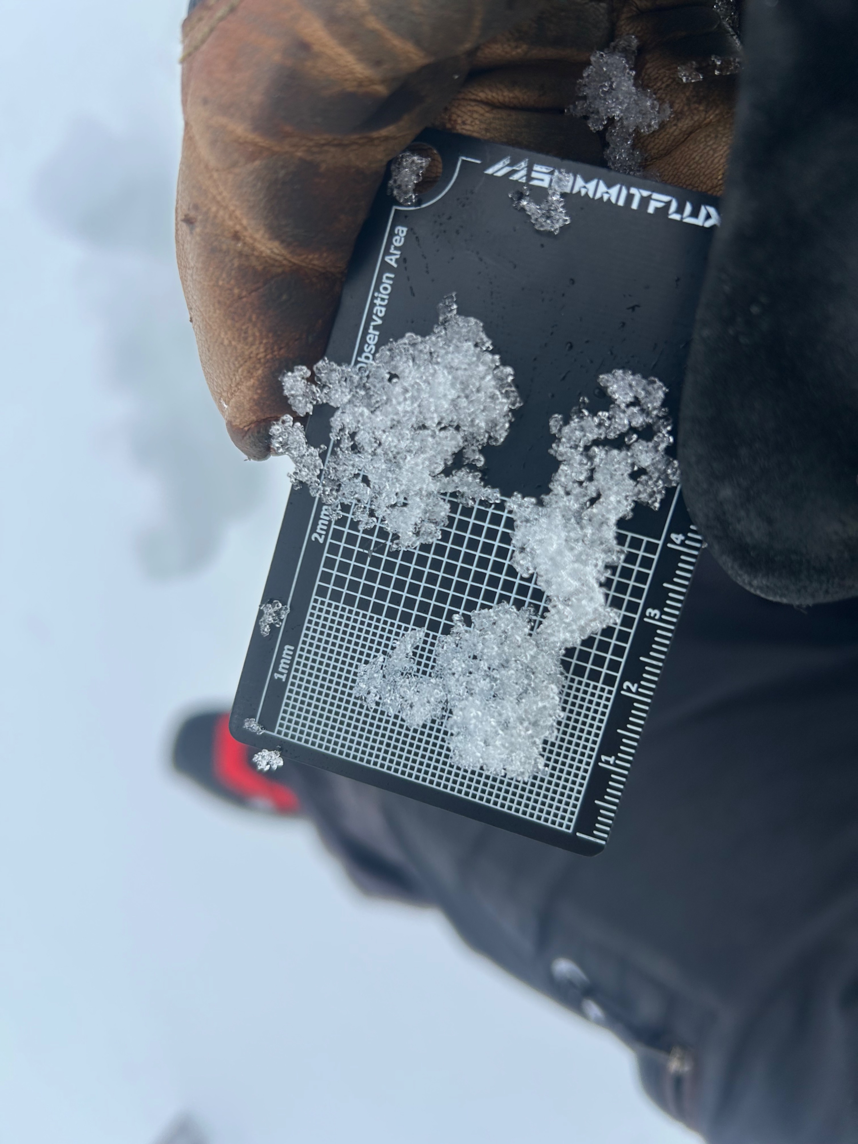
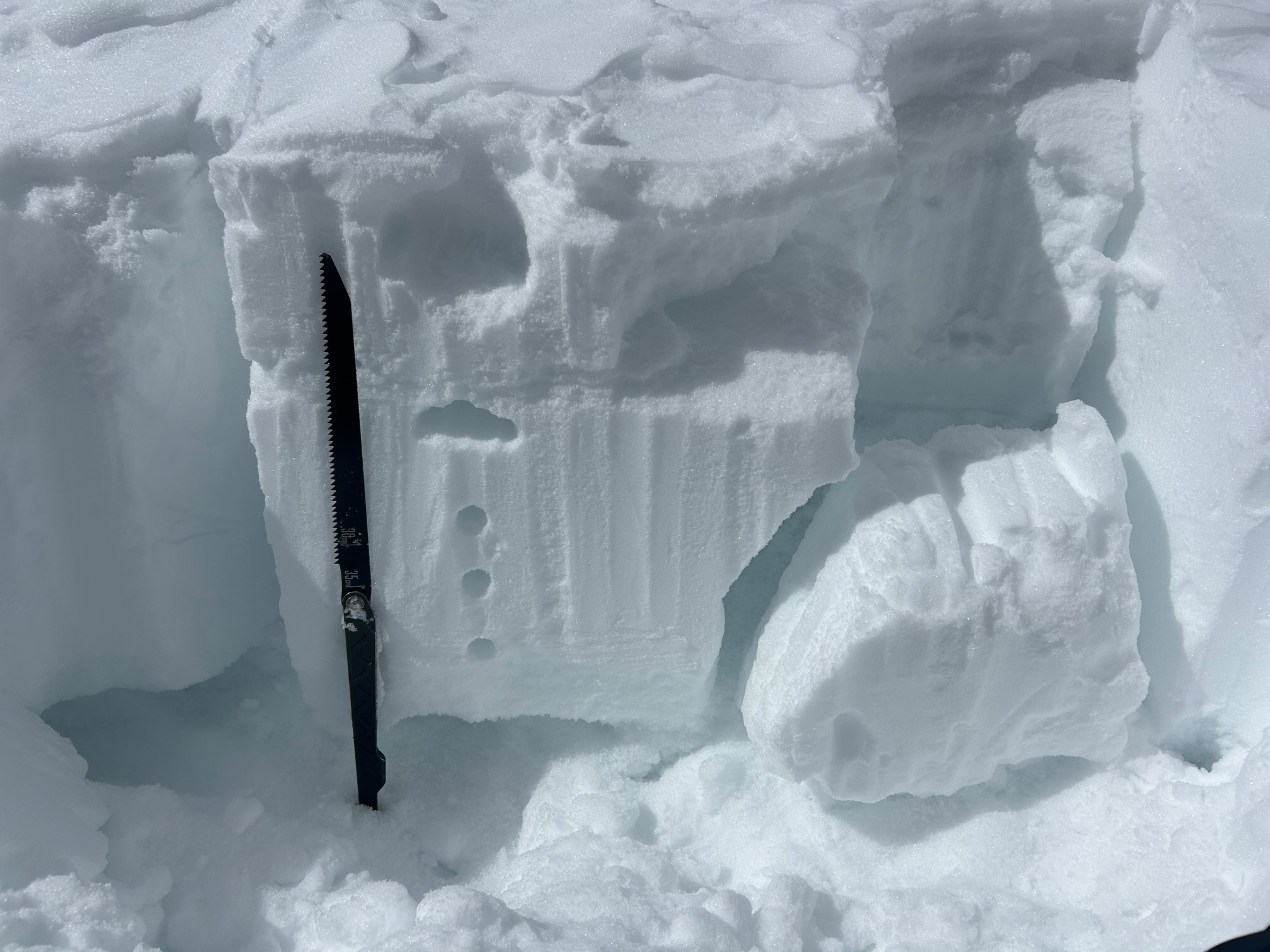
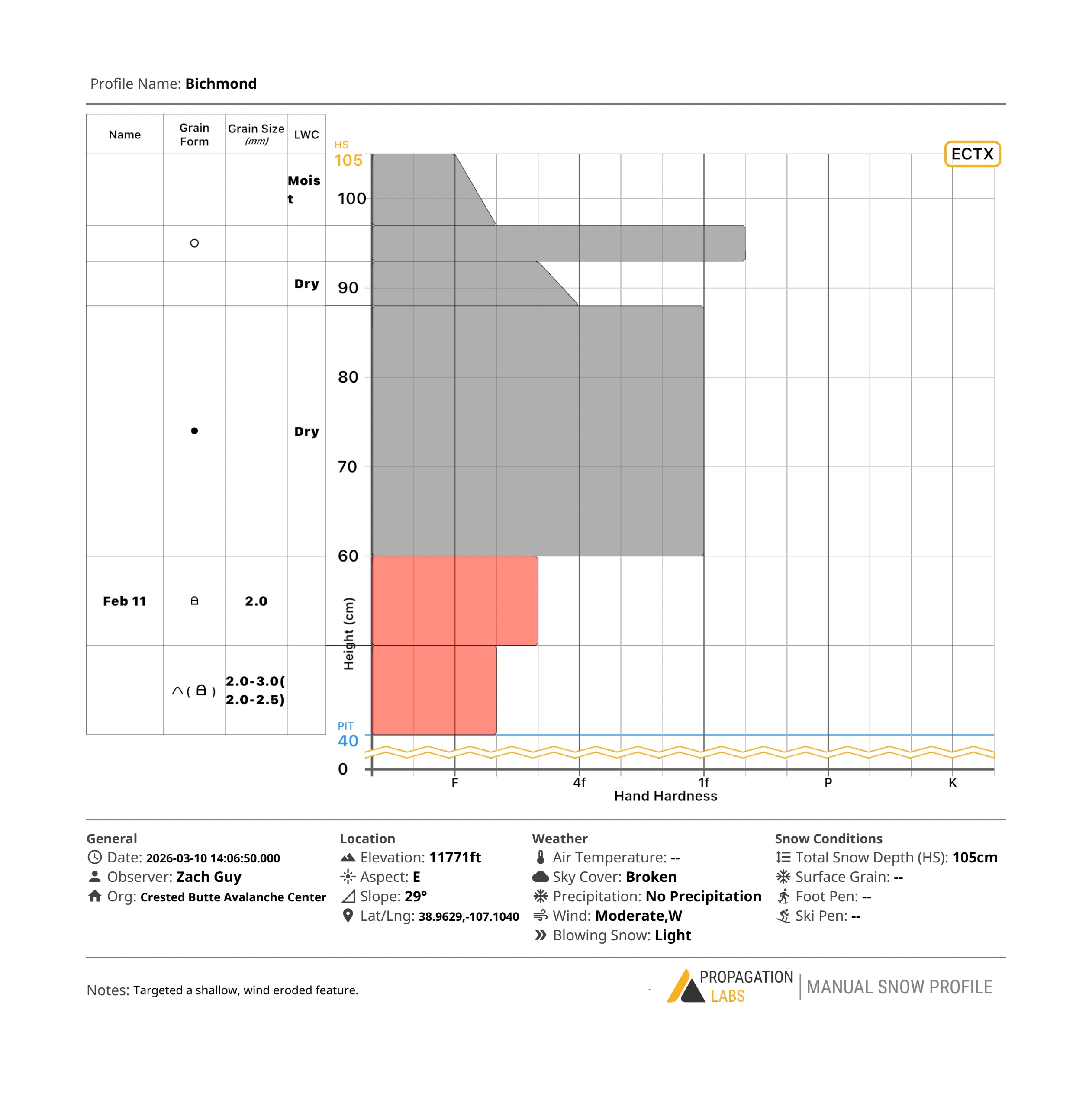
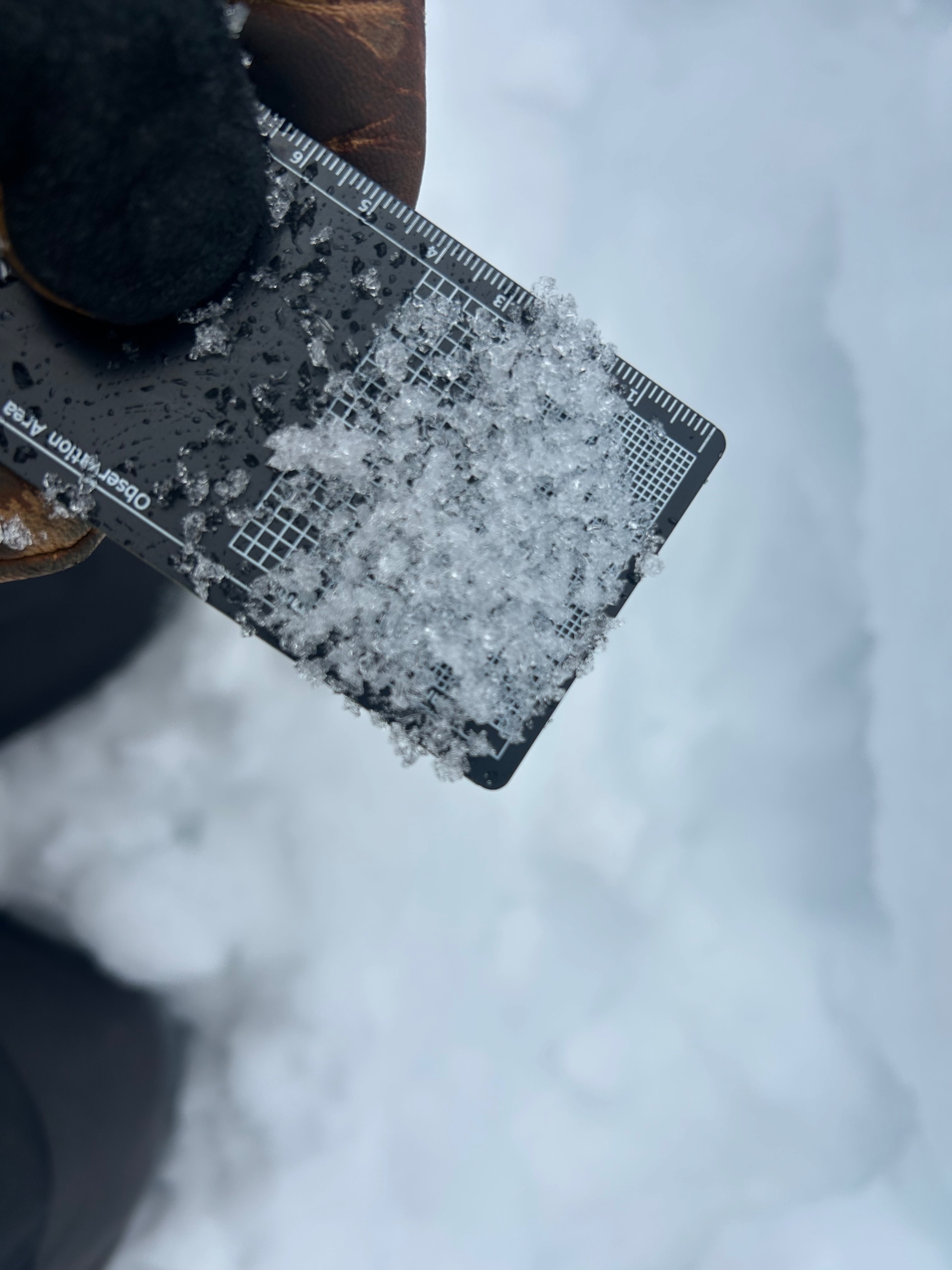
Cloud cover and winds limited wet avalanche concerns this morning, despite a weaker refreeze of ~20 to 25 cms. The upper snowpack was getting wet at lower elevations as we were leaving midday. Snowpits targeting potential wet slab aspects (SE NTL, E BTL) showed moist slabs with weak layers that were moistening or wetting, but still in the pendular regime (not-saturated). Snowpits targeting persistent slab trigger points on the shadier side of the compass showed a poor-looking structure that produced non-propagating failures after additional hard blows. We traveled on steep terrain while avoiding thin areas on various aspects with no signs of instability.
Weather
- Cloud Cover
- broken
- Wind Loading
- light
- Recent Snowfall
- 0
- Snow Avail For Transport
- small smounts
Clear skies this morning quickly filled into mostly cloudy skies through noon. Partly cloudy as we were leaving this afternoon. Moderate alpine winds with stronger gusts.
Avalanche
- Size
- D1.5
- Type
- SS
- Count
- 3
- Aspect
- SE
- Trigger
- N
- Elevation
- 12000 ft
A number of small wet loose avalanches that likely ran last weekend.