
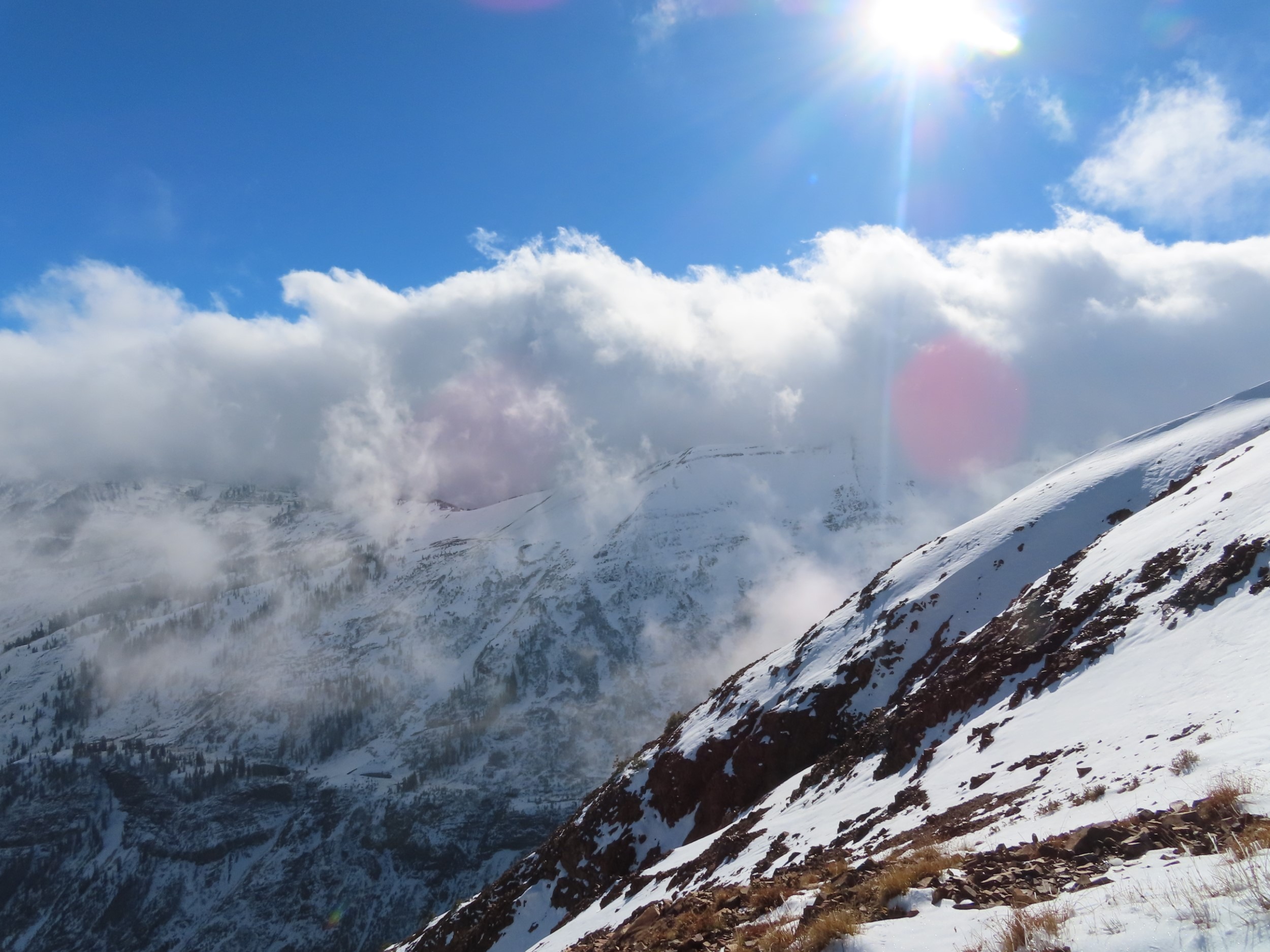
Quick report
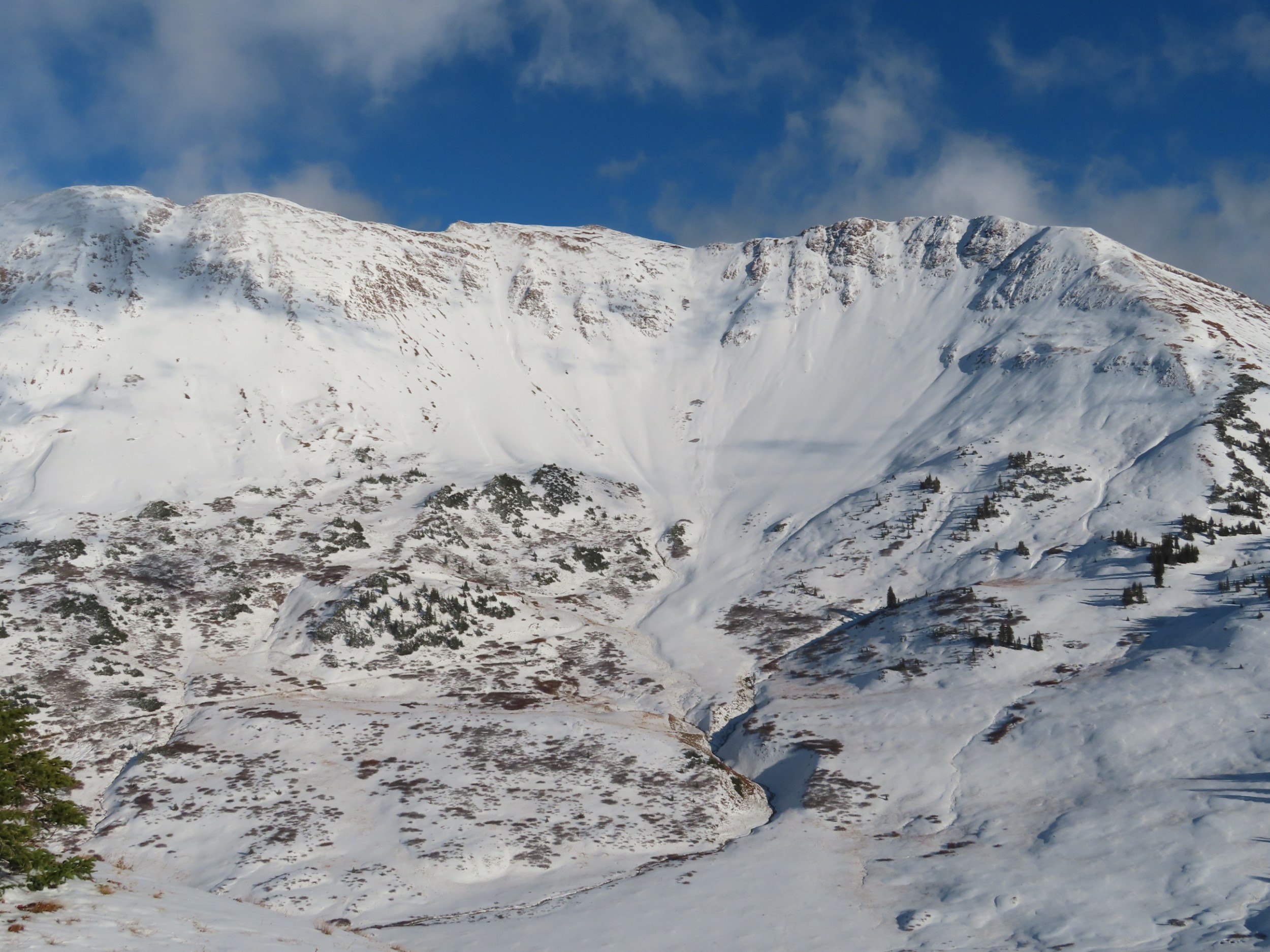
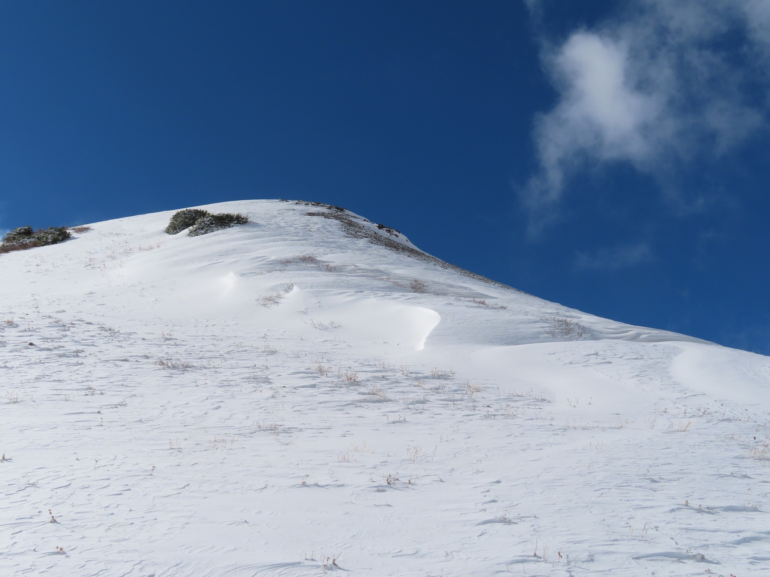
Storm totals are 6" to 12" above 11,000', with some drifted areas up to 3 ft deep. No avalanche activity or signs of instability; the only features of concern were a few localized drifts that were easy to identify and avoid, which should heal quickly. This recent snowfall has now covered the ground roughness in near and above treeline terrain where the ground is relatively smooth ( slopes with grass, tundra, shale, slates, etc). Unfortunately, I suspect this snow cover will survive and facet on shady aspects and will be our first weak layer of the season on some slopes.
Weather
- Cloud Cover
- scattered
- Wind Loading
- light
- Recent Snowfall
- 25
- Snow Avail For Transport
- small smounts
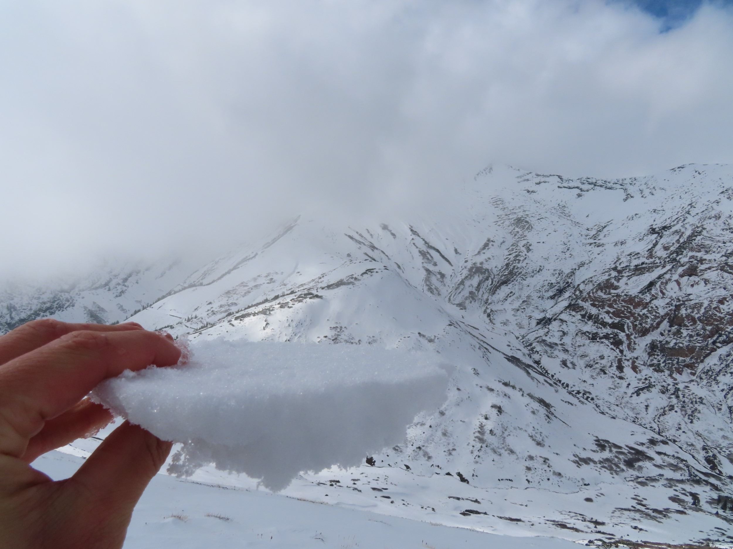
Snowpack
The snow that fell at the beginning of the stormy period (on 10/17) formed a thin, soft (4F), and patchy melt-freeze crust on the ground across the higher terrain, including colder aspects. Westerly winds at higher elevations have redistributed the new snow (10/20) above it, generally about 10". No indication of poor bonding to this crust at the moment, it is often embedded in ground roughness.