
Quick report
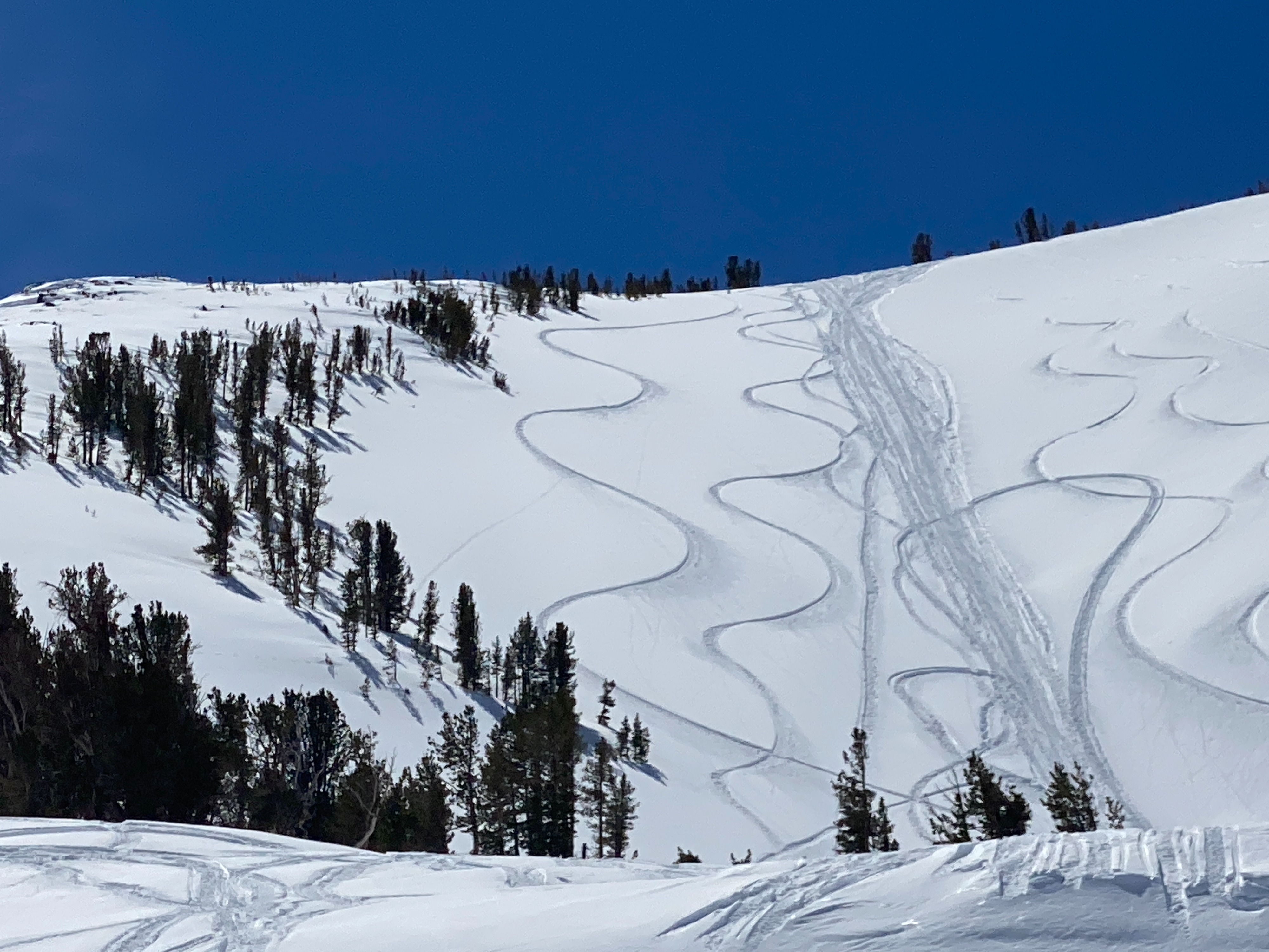
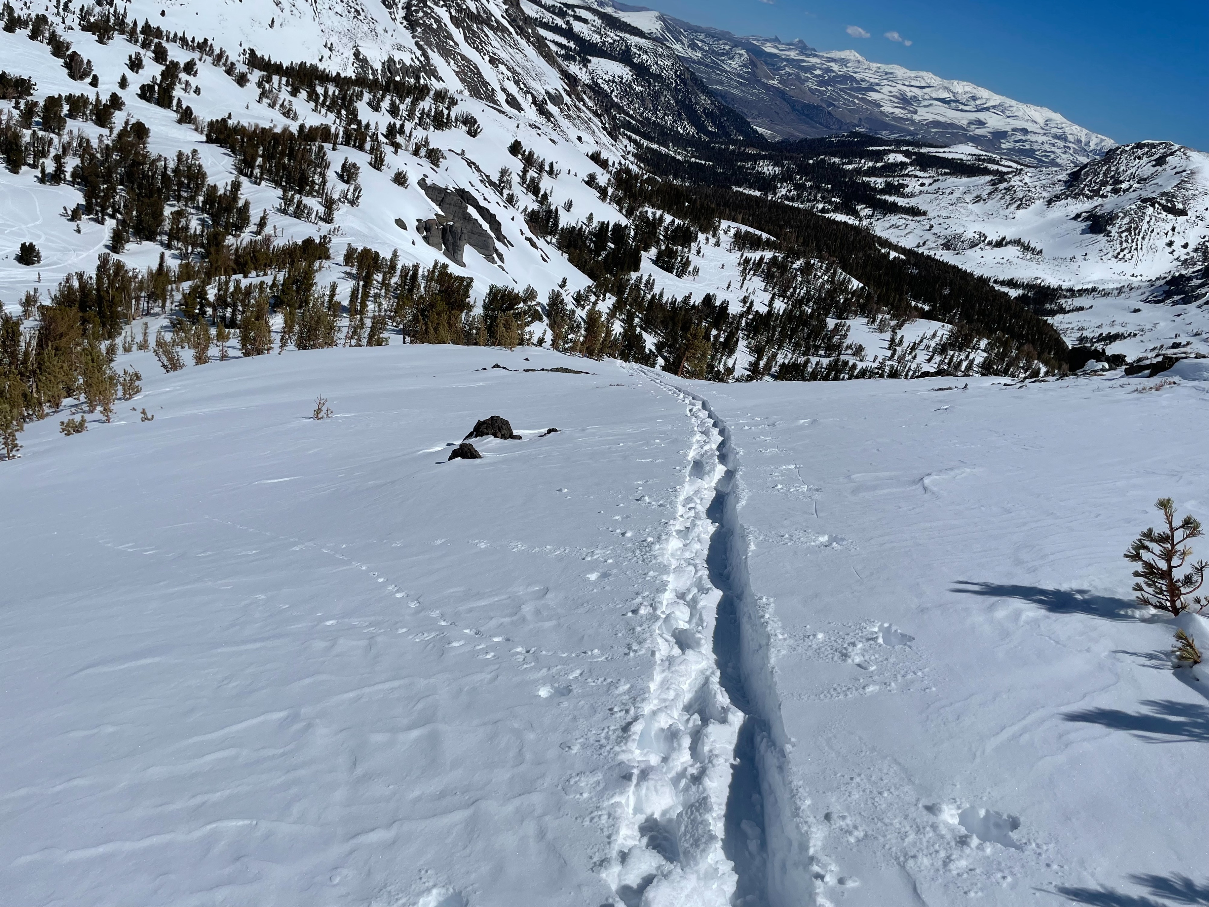
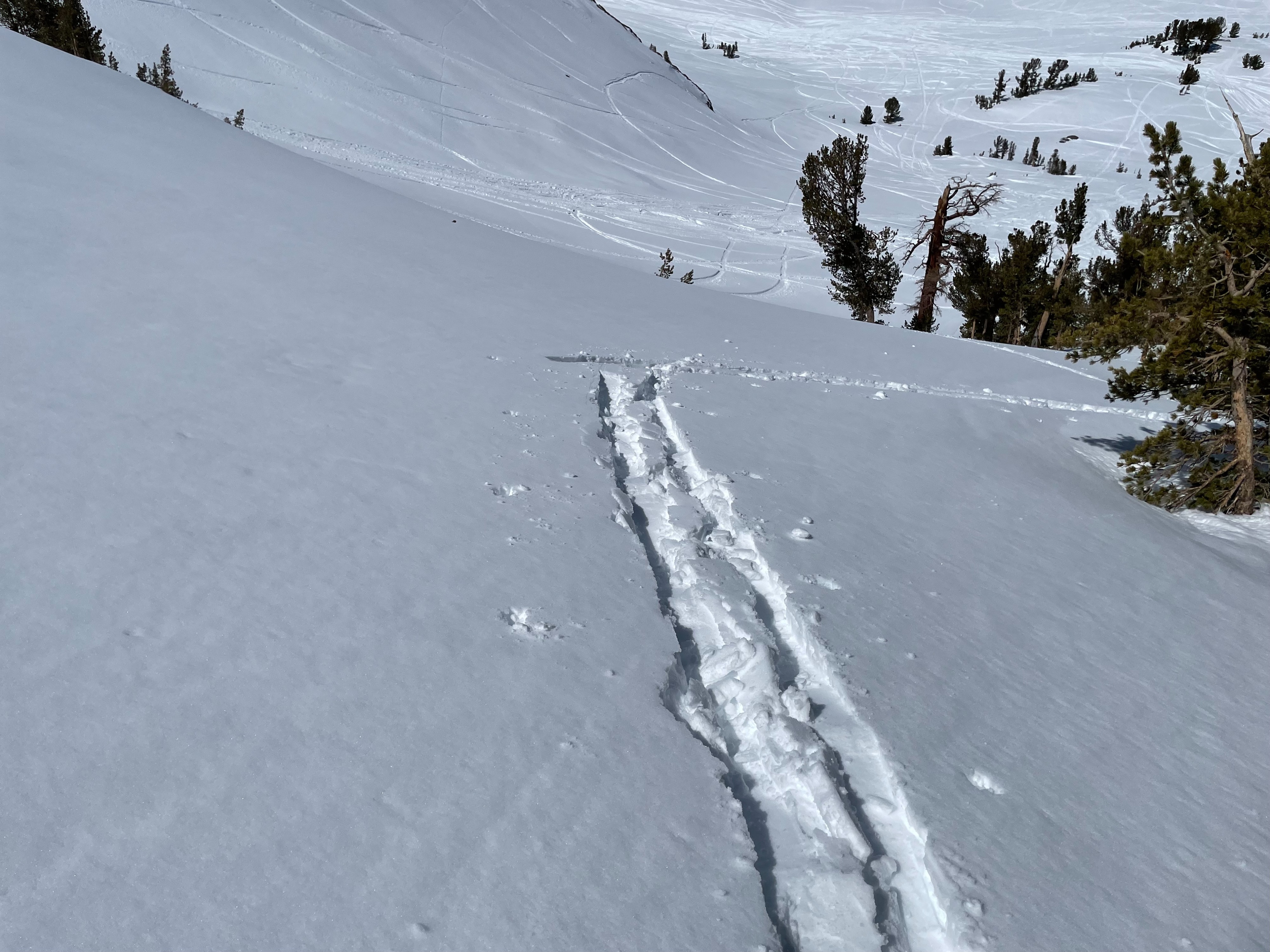
Temperatures rose above freezing today and topped out at 39 degrees at the Leavitt Lake SNOTEL. We sought out a ridge in treeline terrain to take a look at several different aspects. By noon, solar aspects were hot and sticky creating difficult travel conditions. North and East aspects held colder dry snow as we transitioned into above treeline terrain. Some surface scouring was observed in isolated locations. Overall the surface snow conditions were smooth and chalky above the treeline and quickly transitioned into a wetter snowpack in Treeline and below terrain. We stayed off of steep solar slopes to avoid the warm and wet snowpack that became more hazardous throughout the day.
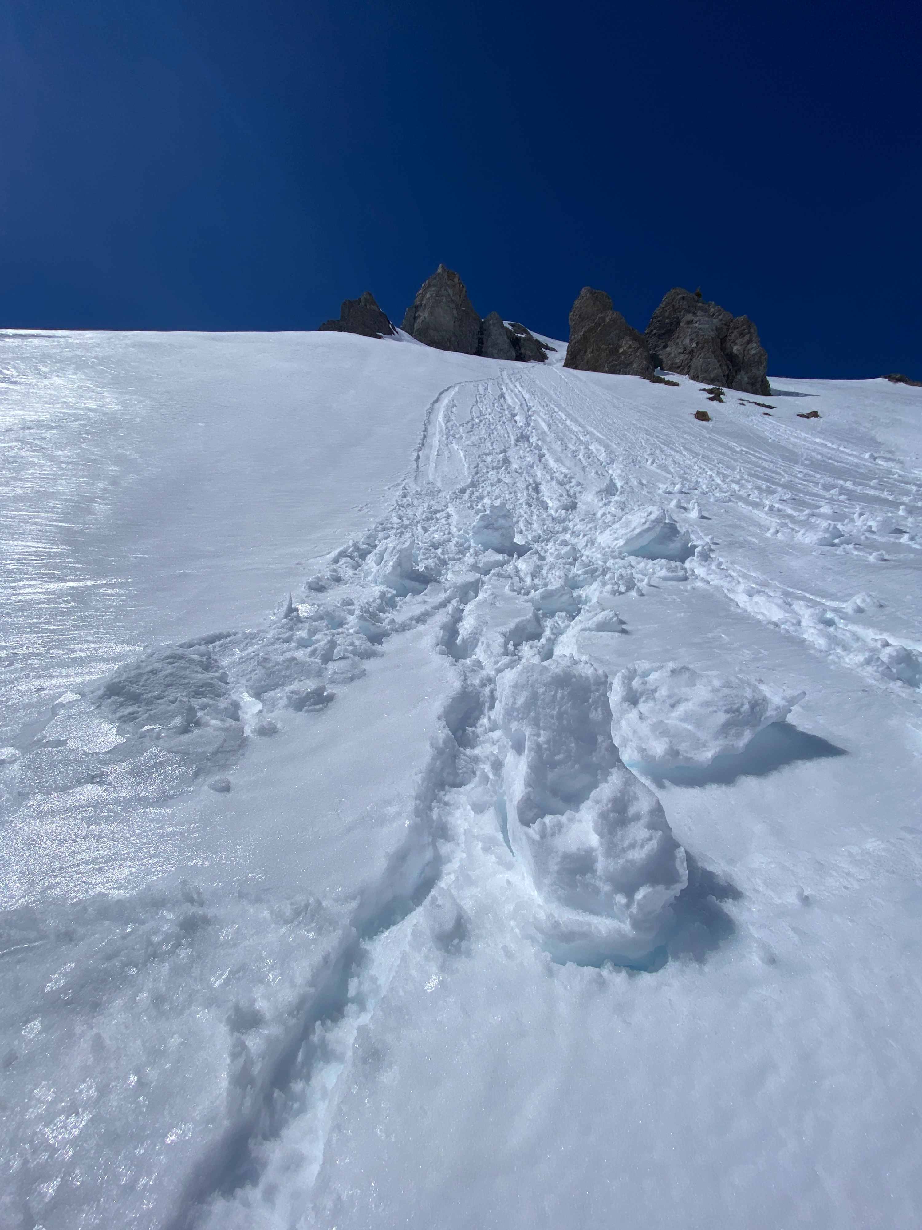
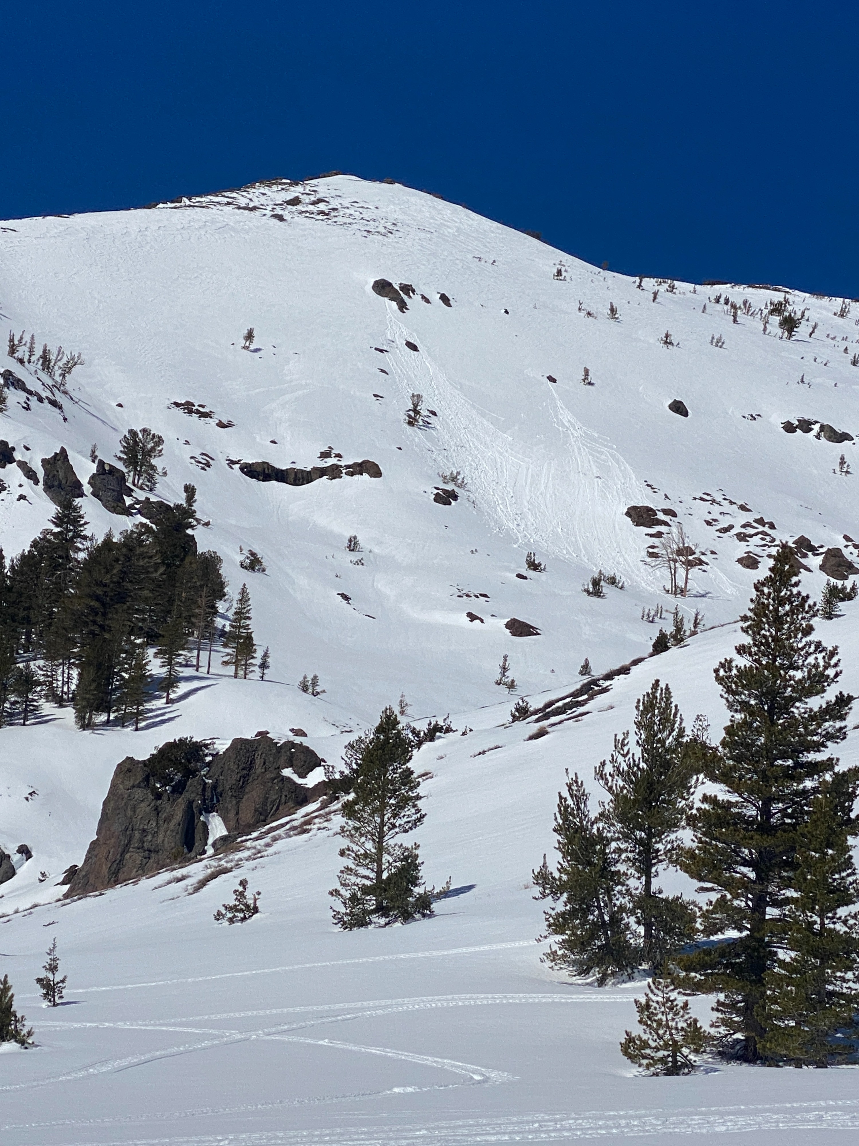
Evidence of Wet Loose point release avalanches on solar aspects from earlier in the week.Weather
- Air Temp
- 39
- Cloud Cover
- few
- Wind Loading
- none
- Recent Snowfall
- none
- Snow Avail For Transport
- none
Mostly sunny skies and moderate wind speeds from the SW. Ridgetop wind increased throughout the day. Cloud cover increased throughout the day.
Snowpack
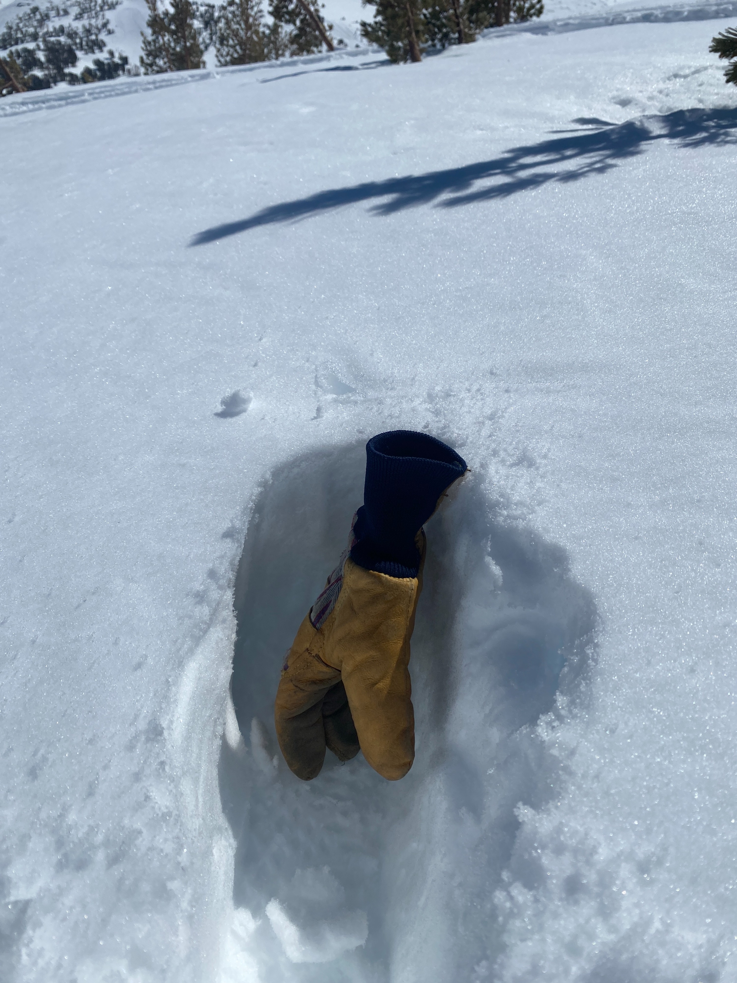
The snowpack continues to transition after the recent snowfall from last weekend. Wet grains were observed on the surface, boot penetration was 20 cm's in most areas. The surface snow was wet and skin wax was needed to avoid glopping. Looking around at solar aspects we saw evidence of point release Wet Loose avalanches from earlier in the week. No instabilities were observed on our descent above Koneig Lake.