
Quick report
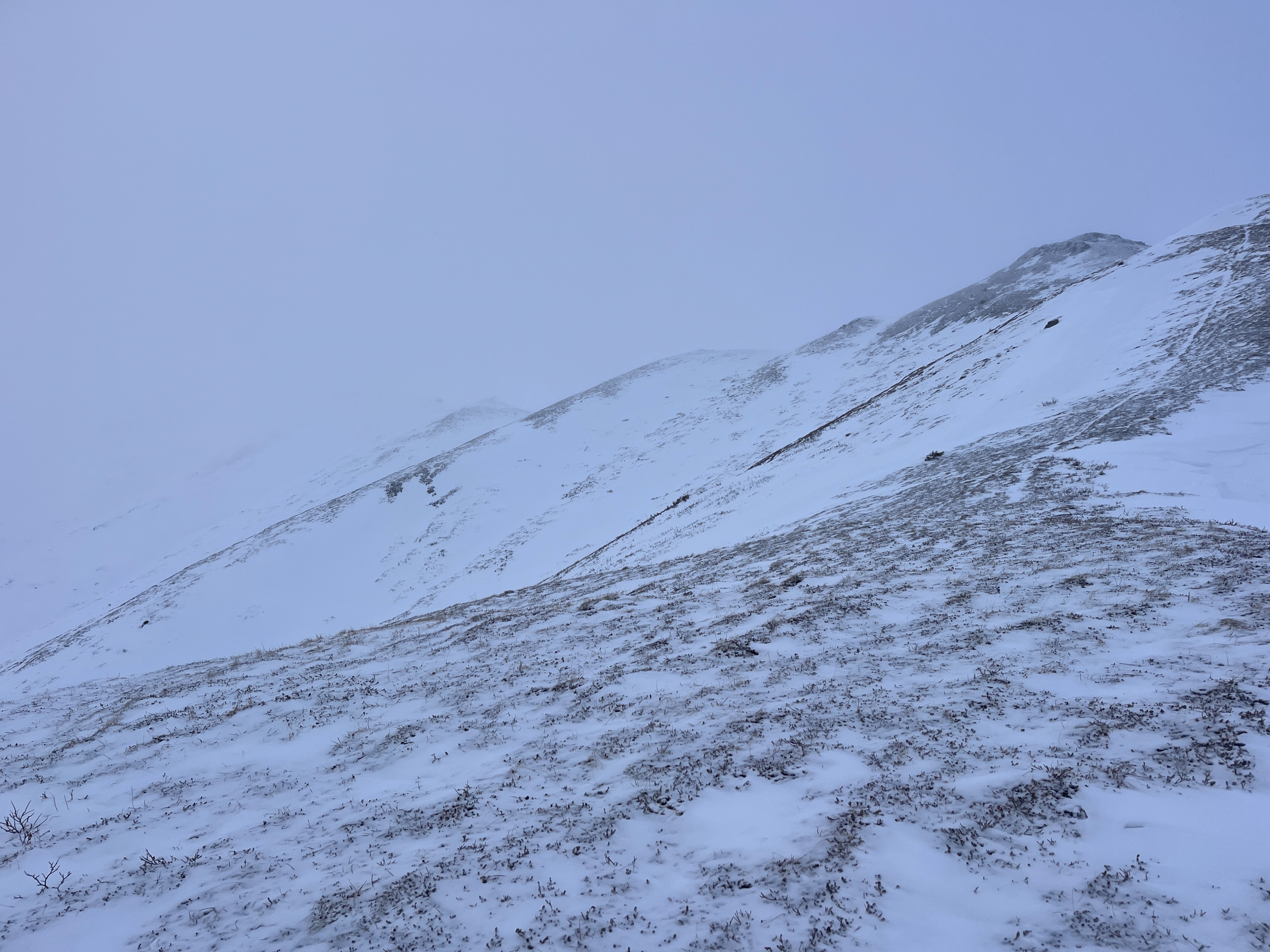
It is a stark difference traveling from 1200' to about 3900'. Below about 2500-3000', the snowpack was shallow (less than about 1' deep in places with no wind effect) and almost spring-like; surfaces were mushy and only lightly refrozen after last night's rain. Above about 3000', there was a noticeable difference in the snowpack. In hand pits, the upper snowpack was soft and faceting below any trace of new snowfall. For the most part, when sticking a pole through the snow, you could feel a homogenous slab to the ground (maybe a thin layer of weak snow near the ground).
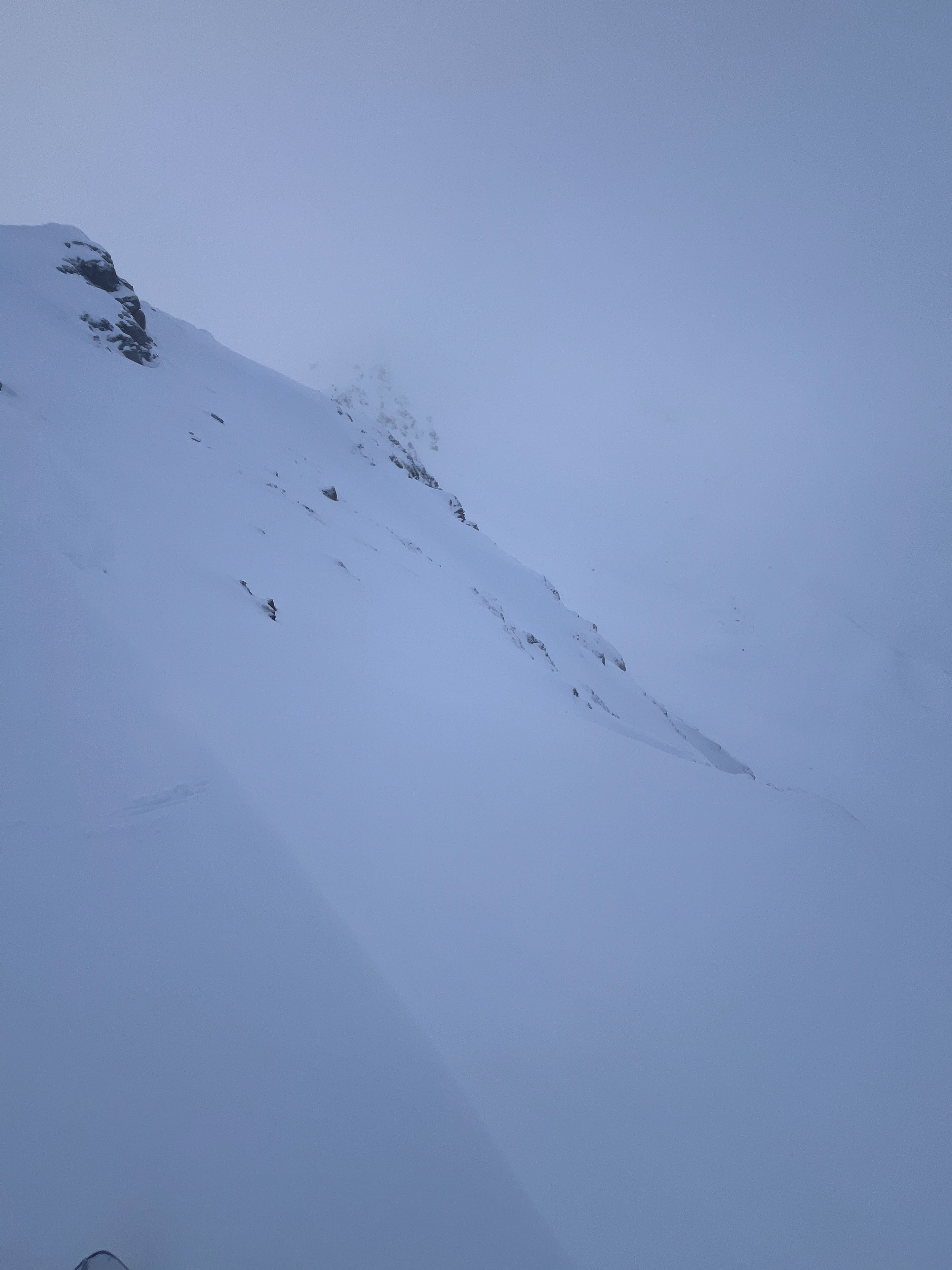
On the north side of the ridge, I found a surprisingly shallow snowpack only about 100-115cm deep (3-4'). This was just below the ridge, where strong south winds this season should have deposited more snow than just a few feet, I found. Additionally, poking around with a probe, I could feel the weak snow near the ground (80-90 cm slab over 20-30 cm of weaker snow). The start zones on this side were also littered with exposed rocks and likely a shallower snowpack.
Weather
- Cloud Cover
- obscured
- Wind Loading
- none
- Rain Elevation
- 3000
- Recent Snowfall
- Trace
- Snow Avail For Transport
- none
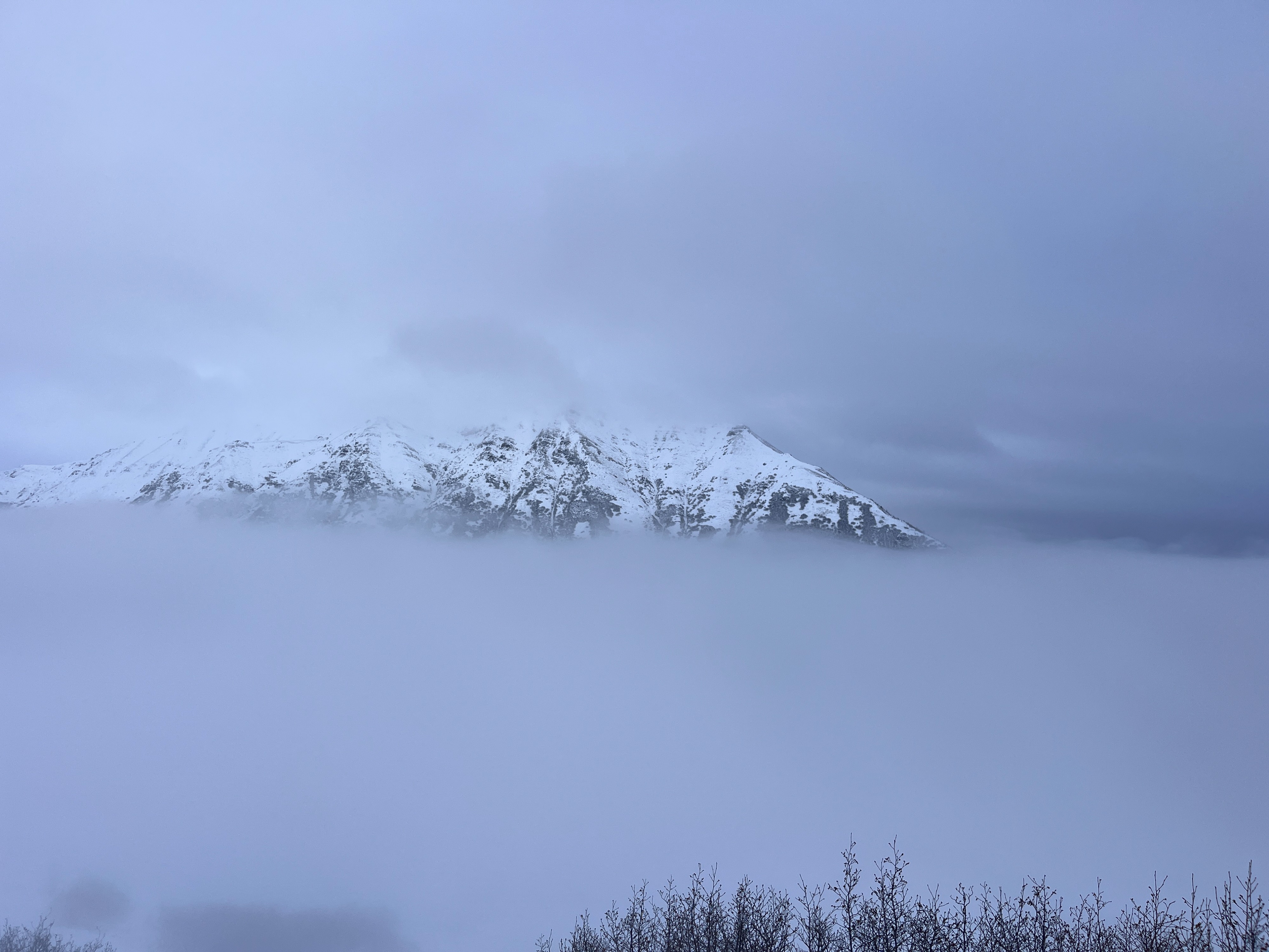
Overcast skies and low clouds kept visibility at a minimum. Winds were mostly light, touching into moderate from the SW. A drizzle began at the ridgetop around 3:30 PM.