
Quick report
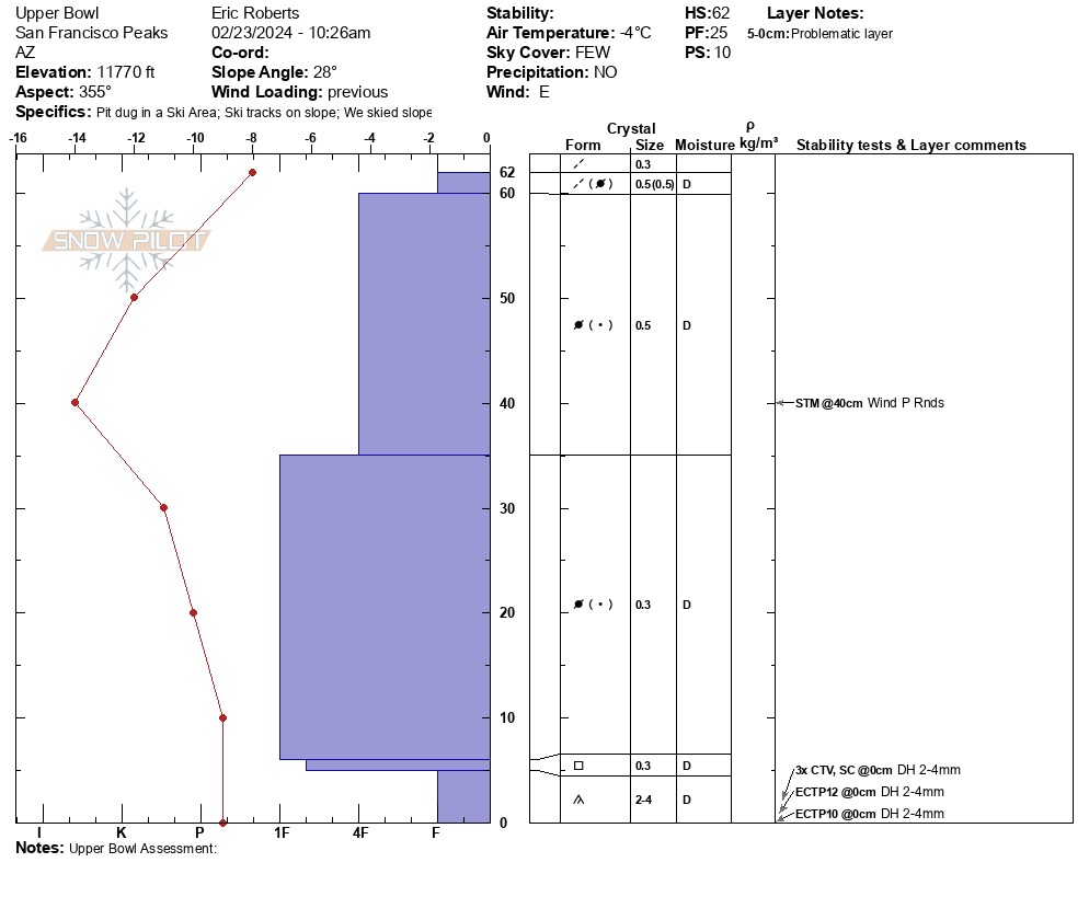
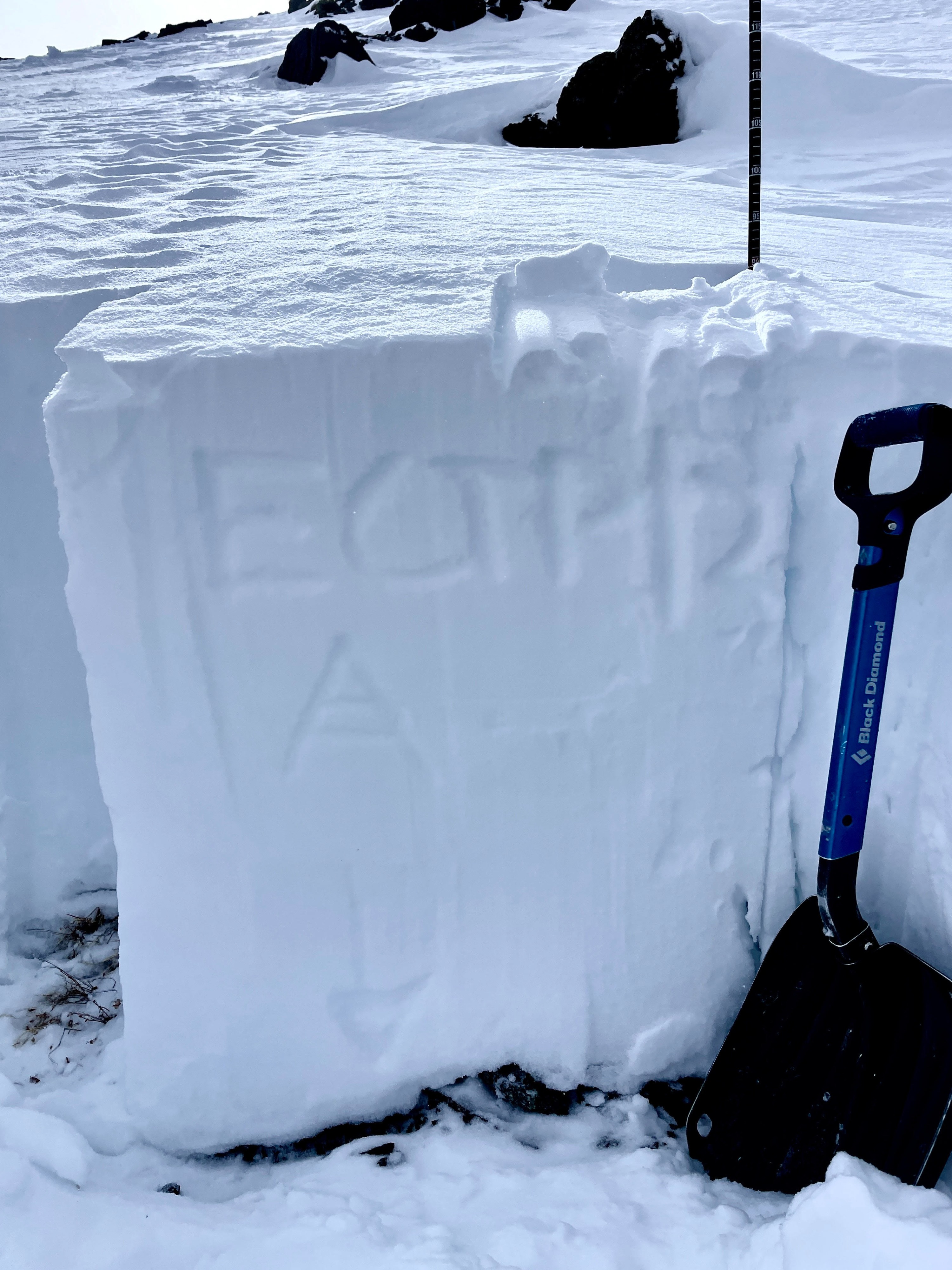
Instability tests reflected Moderate structure, Poor-Mod strength and Mod-Hi Propagation propensity due to many failures on isolation at base
Weather
- Air Temp
- 24.8 F
- Cloud Cover
- few
- Wind Loading
- light
- Rain Elevation
- N/A
- Recent Snowfall
- 0cm
- Snow Avail For Transport
- small smounts
Easterly wind, light with moderate gusts, trending to SW by 11am. No Precip, No recent rime, graupel still collected in micro-depressions.
Snowpack
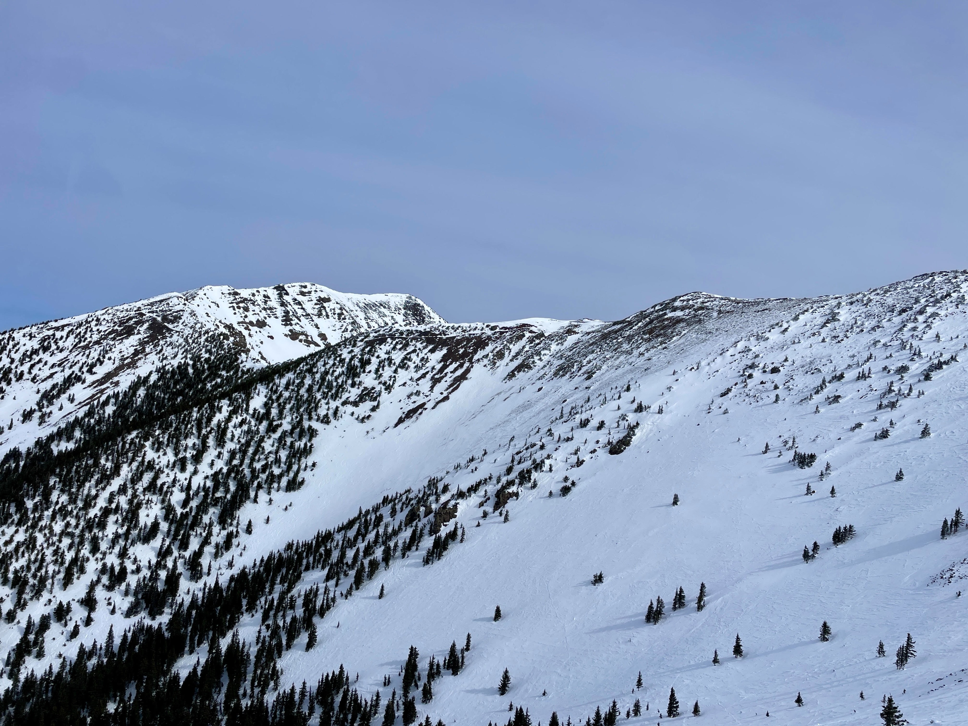
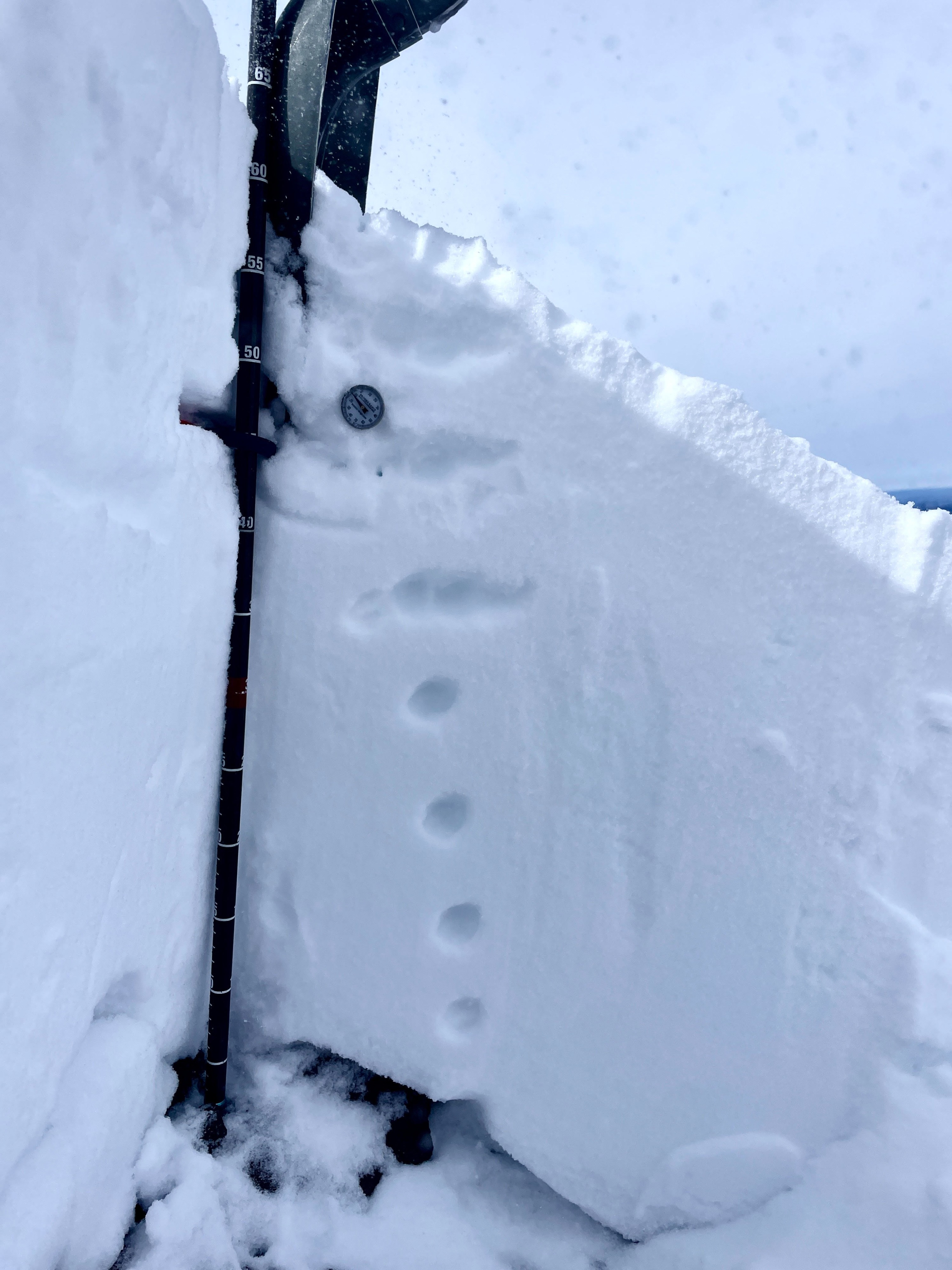
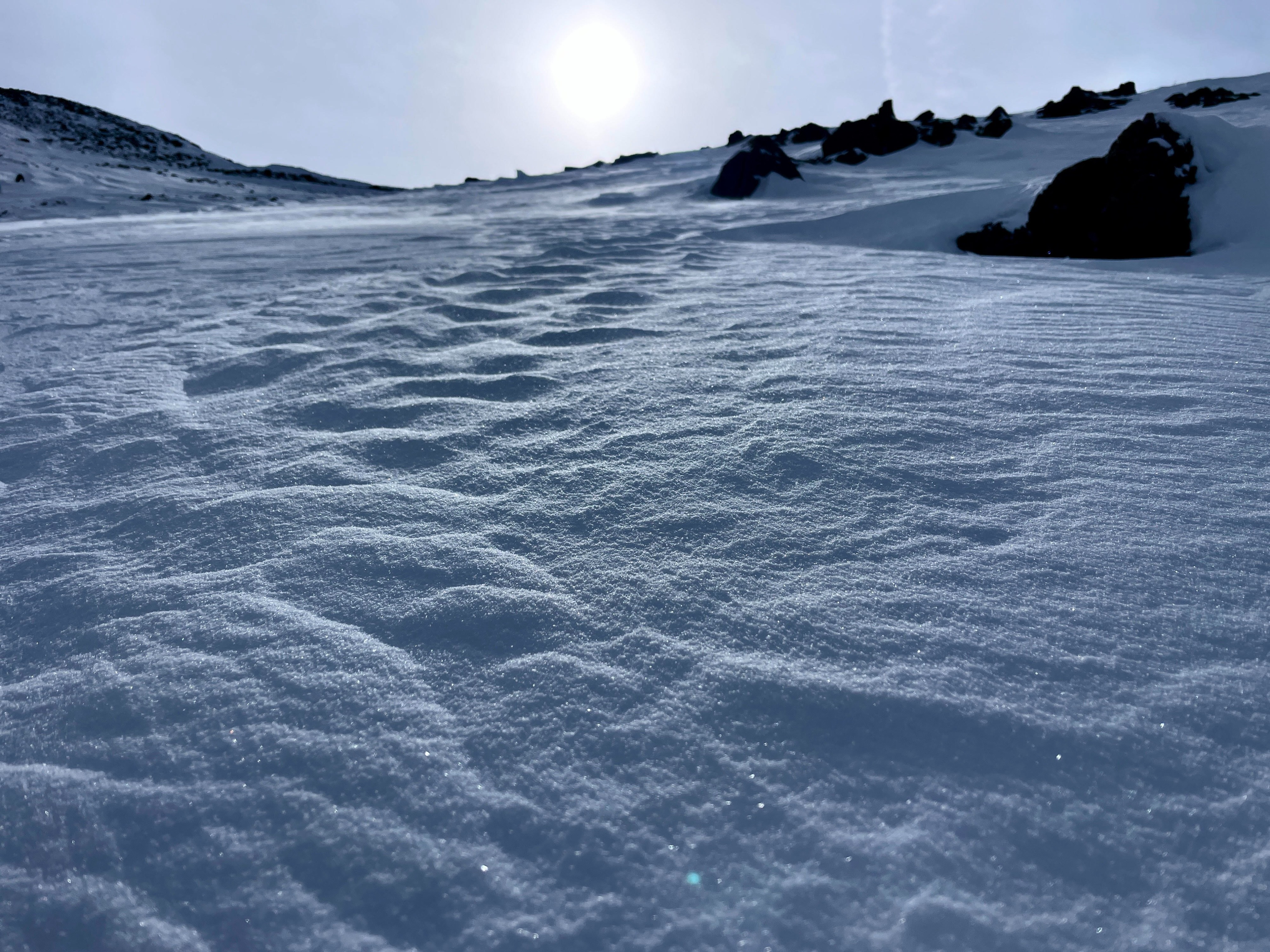
Snow surface Temp gradient is present but faceting has been maintaining weakening as seen in Surface conditions consisted of 1F to 4F wind affected snow with sporadic pockets of F hard, low density snow in wind sheltered areas. Snowpack is right side up with our 2-4mm Depth Hoar (F hard) still present in most E-N-W aspects at base. Height of snow is variable ranging from 60-80cm in most N aspects with 120cm max in loaded micro-drainages and wind loaded aspects. Wind scouring is present and potentially hiding hazards (rock, stumps, trees) by recent storm snow that hasn’t been swept away (yet). previous weeks. True hazard remains as surface conditions which are currently composed of MF solar crusts and variability of soft to hard which may be masked by trace accumulation.